The best walks and hikes around Faulbach
4.6
(5509)
21,709
hikers
39
hikes
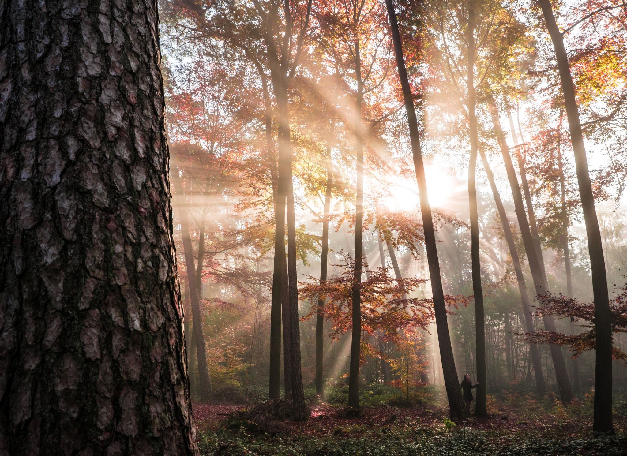
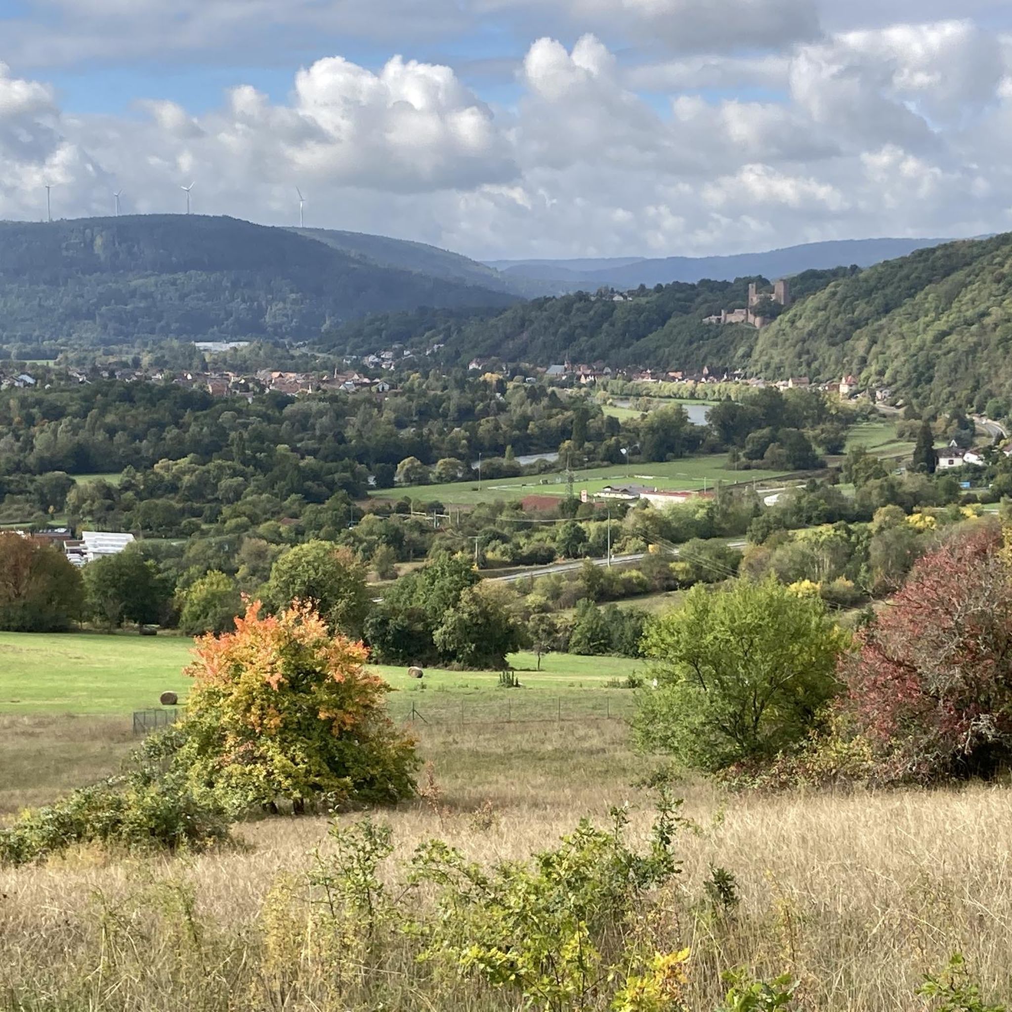
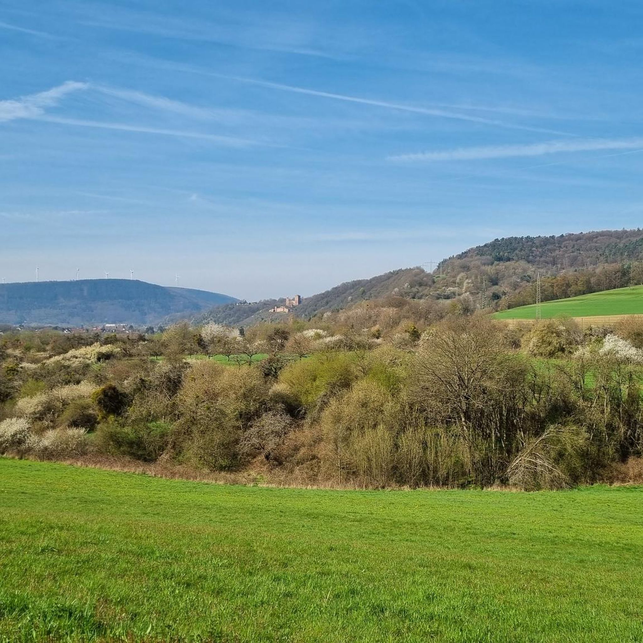
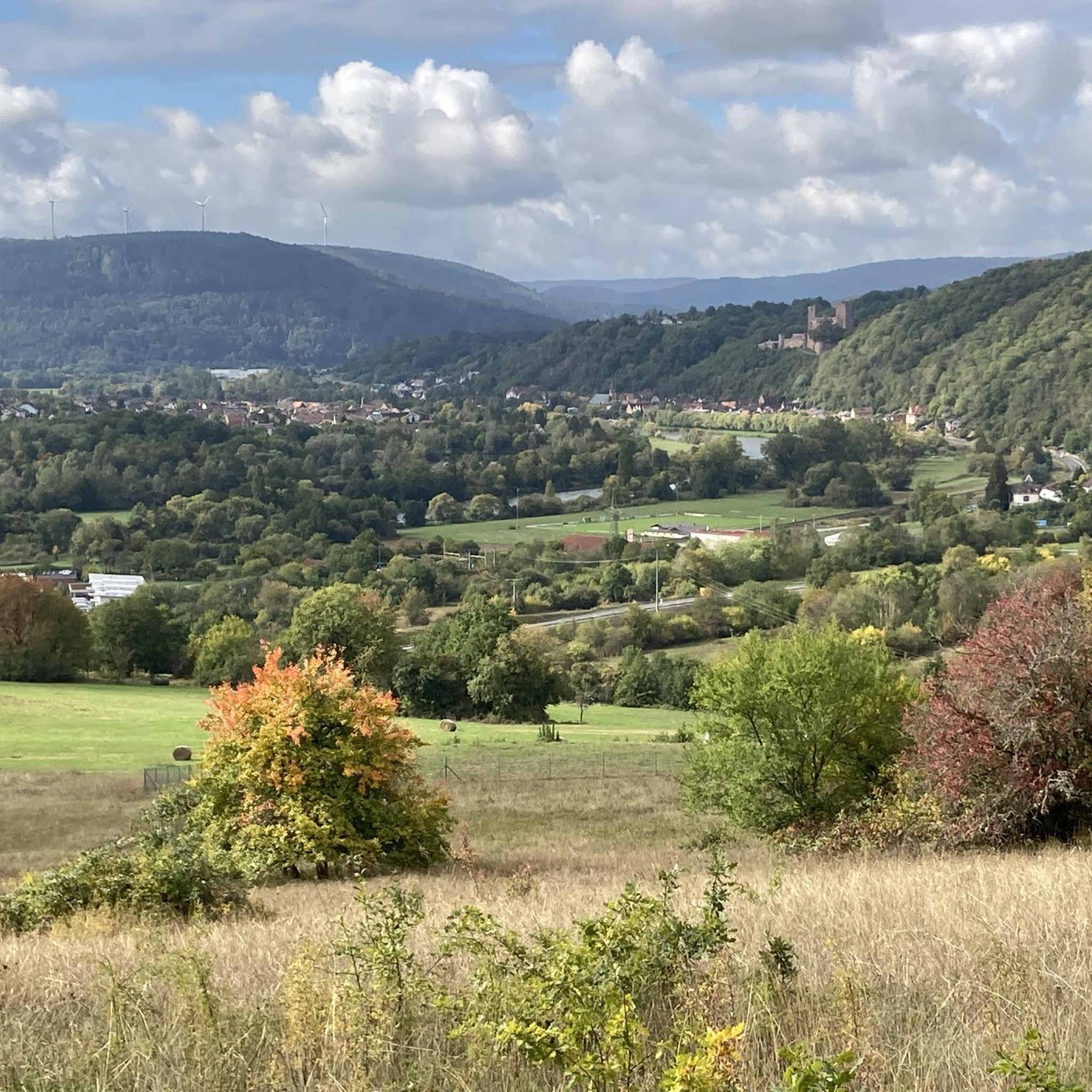
Hiking around Faulbach offers diverse landscapes within the Spessart Forest, characterized by lush forests, serene rivers, and rolling hills. The region features varied terrain, from deeply cut valleys with winding paths to gentle hills providing expansive views. Hikers can explore natural features such as the Furlbach stream, red sandstone rock faces, and unique ecosystems in nature reserves.
Best hiking trails around Faulbach
- The most popular hiking route is Main Ferry Mondfeld – View from Henneburg Keep loop from Faulbach (Main), an easy 3.6 miles (5.9 km) trail that takes 1 hour 36 minutes to complete. This route offers views towards the Main river and surrounding countryside.
- Another top favourite among local hikers is Grohberg Summit Cross – Moorbrunn Waldquelle loop from Faulbach (Main), a moderate 9.3 miles (15.0 km) path. This trail leads through forested areas and offers ascents to viewpoints like the Grohberg Summit Cross.
- Local hikers also love the Faulbach Lock – Faulbach Town Hall loop from Faulbach (Main), a 7.7 miles (12.3 km) trail leading through riverine landscapes and local village areas, often completed in about 3 hours 22 minutes.
- Hiking around Faulbach is defined by dense forests, serene rivers, and rolling hills, with trails often leading through deeply cut valleys and past red sandstone formations. The network offers options for various ability levels, from easy walks to more challenging routes.
- The routes in Faulbach are highly rated by the komoot community with an average score of 4.7 stars from over 400 reviews. More than 1000 hikers have used komoot to explore Faulbach's varied terrain.
Last updated: May 20, 2026
4.6
(20)
57
hikers
Easy hike. Great for any fitness level. Easily-accessible paths. Suitable for all skill levels.
5.0
(7)
18
hikers
15.0km
04:23
400m
400m
Moderate hike. Good fitness required. Easily-accessible paths. Suitable for all skill levels.

Sign up for free
4.7
(21)
43
hikers
12.3km
03:22
180m
180m
Moderate hike. Good fitness required. Easily-accessible paths. Suitable for all skill levels.
4.7
(7)
28
hikers
9.89km
02:50
230m
230m
Moderate hike. Good fitness required. Easily-accessible paths. Suitable for all skill levels.
5.0
(24)
29
hikers
Easy hike. Great for any fitness level. Easily-accessible paths. Suitable for all skill levels.
Get access to more routes and recommendations from other explorers.
Sign up for free
Already have an account?
Our route recommendations are based on thousands of hikes, rides, and runs completed by other people on komoot.
Start today with a free account
Your next adventure awaits.
Login or Signup
Other adventures around Faulbach

Tips from the Community

Great cross on the Grohberg with a bench and a Danish view.
1
0

The benches are set up in a sun-drenched clearing. There are also benches with a table next to them if you want to have a picnic.
0
0
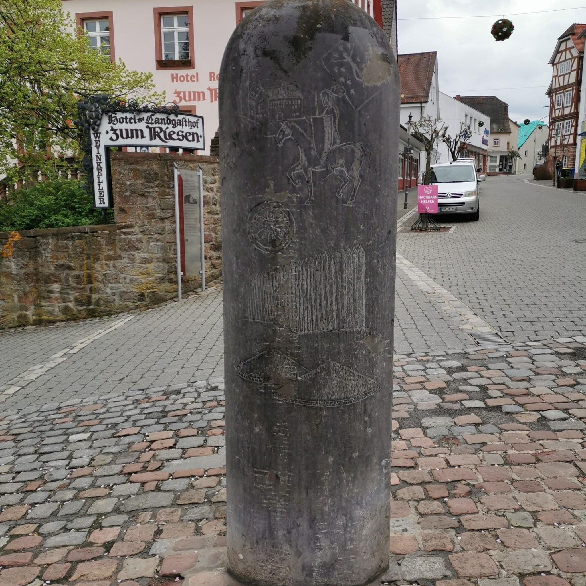
It's a bit hard to find, but worth seeing as it has an interesting historical background.
0
0

In addition to the boules court, there is also an outdoor gym and sun loungers.
0
0

Here you can travel cheaply from one side of the Main to the other.
0
0
Henneburg is definitely worth a visit. From here, you have a fantastic view.
0
0

The cyclists cross the stream above... splashing quite a bit
2
0
Nice place to enjoy, off the gravel road
2
0
Frequently Asked Questions
What kind of terrain can I expect on hiking trails around Faulbach?
Hiking around Faulbach offers a diverse landscape within the Spessart Forest. You'll find trails leading through dense forests, deeply cut valleys, and past serene rivers like the Furlbach stream. There are also gentle hills that provide expansive views of the surrounding Bavarian countryside. Some routes feature unique geological formations, such as red sandstone rock faces.
Are there any easy hiking trails suitable for beginners or families in Faulbach?
Yes, Faulbach offers a good selection of easy trails. For instance, the Main Ferry Mondfeld – View from Henneburg Keep loop from Faulbach (Main) is an easy 3.6-mile (5.9 km) route that takes about 1 hour 36 minutes to complete, offering views towards the Main river. Another easy option is The Shepherd at Grohberg – Chapel of the Virgin Mary loop from Breitenbrunn, which is 3 miles (4.8 km) long.
What natural features or landmarks can I see along the hiking routes?
Faulbach's hiking trails lead to several interesting natural features and landmarks. You might encounter the crystal-clear Furlbach stream, unique boggy areas, and the Bentteiche ponds. Notable viewpoints include the Ludwig-Keller Observation Tower on Geishöhe and spots offering views of the Red Sandstone Cliffs Near Dorfprozelten or the Mainschleife. The Confluence of the Tauber and Main rivers in Wertheim is also a significant natural monument nearby.
Are there any circular hiking routes in Faulbach?
Many of the hiking routes in Faulbach are designed as loops, allowing you to start and end at the same point. Examples include the Grohberg Summit Cross – Moorbrunn Waldquelle loop from Faulbach (Main), a moderate 9.3-mile (15.0 km) path, and the Faulbach Lock – Faulbach Town Hall loop from Faulbach (Main), which is 7.7 miles (12.3 km) long.
What do other hikers say about the trails in Faulbach?
The hiking trails in Faulbach are highly rated by the komoot community, with an average score of 4.7 stars from over 400 reviews. Hikers often praise the region's diverse landscapes, the tranquility of the forests, and the well-maintained paths that cater to various skill levels.
Are there places to rest or have a picnic along the trails?
Yes, the region provides facilities for hikers, including numerous huts and picnic areas. You might find spots like the Grillhütte Breitenbrunn or the Grohberg Picnic Area, which are convenient for taking a break and enjoying refreshments amidst nature.
Can I find viewpoints with scenic vistas on the hikes?
Absolutely. The varied terrain around Faulbach includes gentle hills and clearings that offer expansive views. Specific viewpoints include the Ludwig-Keller Observation Tower on Geishöhe and various spots providing panoramic outlooks over the Main river valley and the surrounding Spessart Forest.
What is the best time of year to go hiking in Faulbach?
Faulbach is enjoyable for hiking throughout much of the year. Spring brings lush greenery and blooming flora, while autumn offers vibrant fall colors in the extensive forests. Summer is ideal for longer days on the trails, and even mild winter days can be pleasant for a crisp walk, though some paths might be muddy or icy.
Are there any historical or cultural points of interest along the hiking routes?
While the focus is on natural beauty, some trails may lead you past quaint villages or historical sites. Broader regional connections hint at potential encounters with places like the Rappenecker Hut, the Englishmen's Monument, or sections of the historic "Wilhelmitenpfad" on longer routes, offering cultural enrichment to your hike.
How many hiking routes are there in total around Faulbach?
There are over 35 hiking routes available around Faulbach, catering to a range of abilities from easy walks to more challenging trails.
Are there any challenging hikes for experienced hikers?
Yes, while many trails are moderate or easy, there is at least one difficult route for experienced hikers seeking a greater challenge. These trails often involve more significant elevation changes and longer distances, providing new perspectives of the landscape.
What kind of forests will I encounter on the trails?
The region is known for its dense and extensive forests, particularly within the Spessart. You'll often hike through old beech forests, with paths winding between tall trees, offering an immersive natural experience. These forests are home to varied flora and fauna.
Most popular routes around Faulbach
Most popular attractions around Faulbach

Get inspired with the komoot mobile app


Explore more
Browse the best Hikes in other regions.
