The best cycling routes around Barton Creek
4.5
(52)
1,444
riders
66
rides
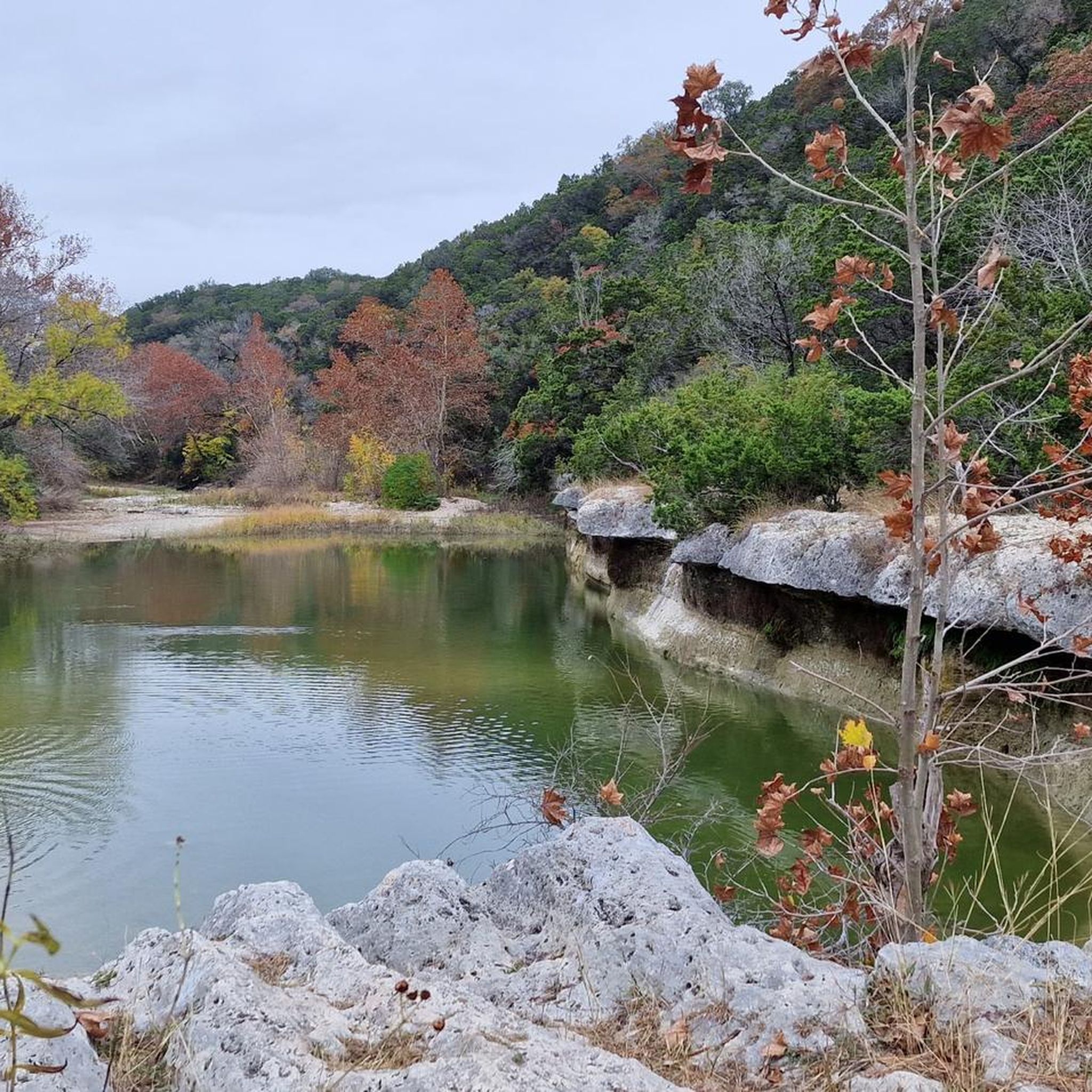
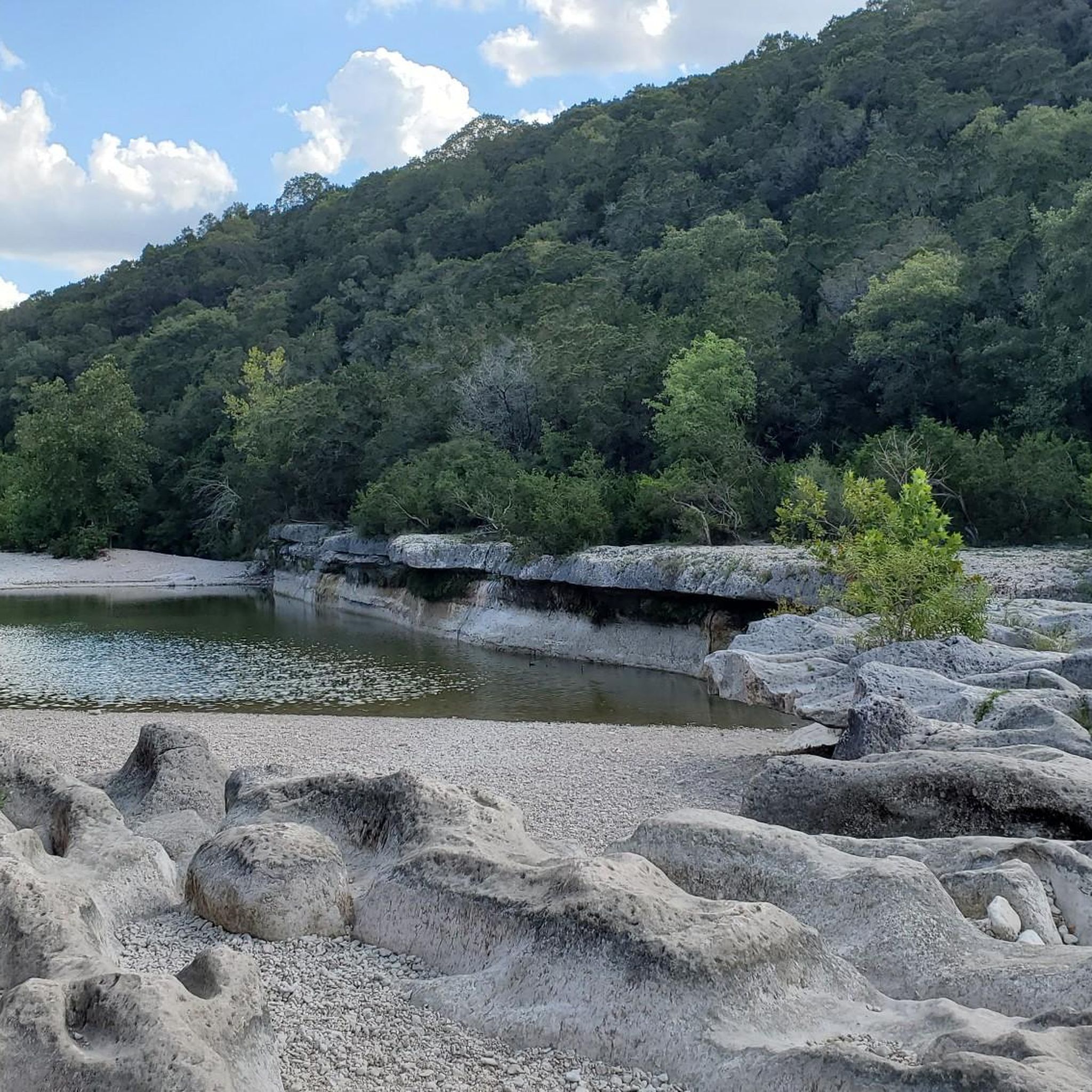
Touring cycling routes around Barton Creek navigate a diverse landscape characterized by the rugged terrain of the Greenbelt and the more accessible paths connecting to urban parks and waterways. The region features limestone cliffs, dense foliage, and serene waterways, particularly along the Barton Creek Greenbelt. While the Greenbelt itself is known for challenging mountain biking, the broader area offers well-paved routes and road cycling loops. These routes often provide open views of nature, connecting natural preserves with urban green spaces.
…Last updated: May 20, 2026
89.7km
05:39
960m
970m
Hard bike ride. Very good fitness required. Mostly paved surfaces. Suitable for all skill levels.
30
riders
Moderate bike ride. Good fitness required. Mostly paved surfaces. Suitable for all skill levels.

Sign up for free
10
riders
Hard bike ride. Very good fitness required. Mostly paved surfaces. Suitable for all skill levels.
8
riders
Moderate bike ride. Good fitness required. Mostly paved surfaces. Suitable for all skill levels.
5.0
(1)
5
riders
16.4km
01:08
300m
300m
Moderate bike ride. Good fitness required. Mostly paved surfaces. Suitable for all skill levels.
Get access to more routes and recommendations from other explorers.
Sign up for free
Already have an account?
Our route recommendations are based on thousands of hikes, rides, and runs completed by other people on komoot.
Start today with a free account
Your next adventure awaits.
Login or Signup

Tips from the Community

This is a great park to stop and take a pause. Barton Creek meets the Colorado River here. It's named after Andrew Jackson Zilker, who gifted the land to the city in 1917.
1
0
Hop off your bike to admire the stunning 100-foot mural by Sandra Chevrier and Shepard Fairey, famed for the Obama "Hope" poster. Created in just five days, this collaboration was part of a Downtown Austin Alliance Foundation series celebrating the 100th anniversary of the 19th Amendment.
1
0

The Pfluger Pedestrian Bridge, also known as the James D. Pfluger Pedestrian and Bicycle Bridge, spans 700 feet over Lady Bird Lake in downtown Austin, Texas. Opened in 2001, this shared-use bridge connects the north and south sides of the Ann and Roy Butler Hike-and-Bike Trail. It features a distinctive "double curve" design supported by curved concrete piers and a concrete deck on top of weathering steel plate girders. The bridge is named after James D. Pfluger, a local architect who designed the trails surrounding Lady Bird Lake.
0
0

Butler Shores at Town Lake, located in Austin, Texas, is a scenic park along the southern shore of Lady Bird Lake. There are open grassy areas, walking trails, and a great view of the lake. The park is popular for outdoor activities such as jogging, picnicking, biking, and birdwatching along the water's edge. There are also plenty of benches to rest at and and public art installations to enjoy as you explore the city.
0
0

The MoPac Mobility Bike and Pedestrian Bridge was completed in 2017 and crosses high above Barton Creek.
0
0

Don't forget small change for the musicians
0
0
The MoPac Mobilit Bike and Pedestrian Bridge was completed in 2017 and crosses high above Barton Creek.
0
0

Next to the Ann and Roy Butler Hike-and-Bike Trail, you'll find this spot that is ideal to enjoy a moment of relaxation while taking in the view of the Colorado River from the bench placed next to its shore.
1
0
Frequently Asked Questions
How many touring cycling routes are available in the Barton Creek area?
There are over 50 touring cycling routes around Barton Creek, catering to various skill levels. This includes 26 easy routes, 26 moderate routes, and 7 difficult routes, ensuring options for every cyclist.
What are the general characteristics of touring cycling routes in Barton Creek?
Touring cycling routes in Barton Creek navigate a diverse landscape featuring limestone cliffs, dense foliage, and serene waterways. While the Barton Creek Greenbelt itself is rugged and better suited for mountain biking, the broader area offers well-paved routes and road cycling loops that connect natural preserves with urban green spaces, often providing open views of nature.
Are there any easy touring cycling routes suitable for beginners or families?
Yes, there are several easy touring cycling routes. One popular option is the Dick Nichols District Park – Violet Crown Trail Entrance loop from Wildflower Preserve. This 15.5-mile (24.9 km) trail leads through natural preserves and accessible paths, making it a great choice for a relaxed ride.
What kind of natural features or landmarks can I expect to see along the touring routes?
The routes often feature scenic landscapes with limestone cliffs, dense foliage, and serene waterways. You might also encounter natural swimming holes like Twin Falls, Sculpture Falls, and Gus Fruh. For specific landmarks, consider routes that pass by the Pfluger Pedestrian Bridge, offering views of the Colorado River, or connect to the Lady Bird Lake Hike and Bike Trail.
Are there any challenging touring cycling routes for experienced riders?
Absolutely. For experienced touring cyclists seeking a challenge, the Barton Creek loop to Pace Bend National Park is a difficult 55.7-mile (89.7 km) route with significant elevation changes and expansive views. Another demanding option is the Pfluger Pedestrian Bridge – Winding Path in Zilker Park loop from West Ridge Middle School Tennis Courts, which covers nearly 40 miles with considerable elevation.
What do other touring cyclists say about the routes in Barton Creek?
The touring cycling routes in Barton Creek are highly rated by the komoot community, with an average score of 4.6 stars from over 20 reviews. Cyclists often praise the diverse terrain, from accessible paths to challenging road routes, and the beautiful natural scenery, including connections to urban waterways like Lady Bird Lake.
Can I find routes that offer views of the Colorado River or Lady Bird Lake?
Yes, several routes provide scenic views of these waterways. The Pfluger Pedestrian Bridge – View of the Colorado River loop from Patrizi's is a moderate 27.5-mile (44.3 km) path specifically designed to offer picturesque views of the Colorado River and urban landscapes. Many routes also connect to the Lady Bird Lake Hike and Bike Trail.
Are there any routes that pass by popular swimming spots?
While the Greenbelt itself is known for swimming holes like Twin Falls, Sculpture Falls, and Gus Fruh, touring cycling routes often connect to areas where you can access these. For example, the Pfluger Pedestrian Bridge – Barton Springs Pool loop from Whirlpool Cave passes near Barton Springs Pool, a well-known natural swimming area.
What kind of wildlife can I expect to see while cycling in Barton Creek?
The Barton Creek area is rich in biodiversity. While cycling, you might spot deer, various bird species, and fish. The region is also a critical habitat for several endangered species, including the Golden Cheeked Warbler and the Barton Springs Salamander, particularly within the Greenbelt's natural preserves.
Are there any specific access points or parking considerations for touring cyclists?
The Barton Creek Greenbelt has multiple access points, many with parking facilities. The Loop 360 access point is particularly central. For routes connecting to Zilker Park or Lady Bird Lake, parking is available in those areas. It's always advisable to check specific route details for the most convenient starting points and parking options.
Is the Barton Creek Greenbelt suitable for touring bikes?
The Barton Creek Greenbelt's main trails are primarily rugged and uneven, making them better suited for mountain biking. Road, cruiser, or commuter bikes are generally not recommended for the Greenbelt's core trails. However, the broader Barton Creek area offers numerous touring cycling routes on paved surfaces and road loops that connect to the Greenbelt's periphery and other natural areas.
What is the best time of year to go touring cycling in Barton Creek?
The best time for touring cycling in Barton Creek is typically during the spring and fall months when temperatures are milder. Summers can be very hot, making early morning or late afternoon rides preferable. Winters are generally mild, offering pleasant cycling conditions, though occasional cold fronts can occur.
Most popular attractions around Barton Creek

Get inspired with the komoot mobile app


Explore more
Browse the best Cycling routes in other regions.
