The best cycling routes around Missouri City
4.9
(13)
237
riders
23
rides
Touring cycling around Missouri City, Texas, features a network of trails primarily along natural waterways and through developed parklands. The landscape is characterized by flat terrain with minimal elevation changes, making it suitable for various cycling abilities. Natural features such as Oyster Creek define many routes, offering shaded sections and paved paths. The region provides access to both urban greenways and more natural, undeveloped areas for cycling.
Best touring cycling routes around Missouri City
- The most popular touring cycling route…
Last updated: October 1, 2026
5
riders
16.1km
01:17
20m
20m
Cycle the easy 10.0 miles (16.1 km) Edible Arbor Trail in Oyster Creek Park, enjoying unique fruit and nut trees.
5.0
(1)
32
riders
13.4km
01:10
30m
30m
Easy bike ride. Great for any fitness level. Mostly paved surfaces. Suitable for all skill levels.

22
riders
Hard bike ride. Good fitness required. You may need to push your bike for some segments of this route.
5.0
(1)
14
riders
6.89km
00:28
10m
10m
Easy bike ride. Great for any fitness level. Mostly paved surfaces. Suitable for all skill levels.
13
riders
Moderate bike ride. Good fitness required. Mostly paved surfaces. Suitable for all skill levels.
Get access to more routes and recommendations from other explorers.
Already have an account?
Our route recommendations are based on thousands of hikes, rides, and runs completed by other people on komoot.
Start today with a free account
Your next adventure awaits.


Tips from the Community

Lost Creek Park has the Oyster Creek Trail running through it as well as some other mountain bike routes by the shores of Oyster Creek. It is a good spot to start a ride on the Oyster Creek Trail and explore the banks of Oyster Creek.
0
0
Oyster Creek stretches 95 miles from Fort Bend County, travels south to central Brazoria County, turns southeast, and ends at the city of Lake Jackson. Admire the river from above, but don't take a dip, as there have been high levels of bacteria found in this creek at times.
0
0
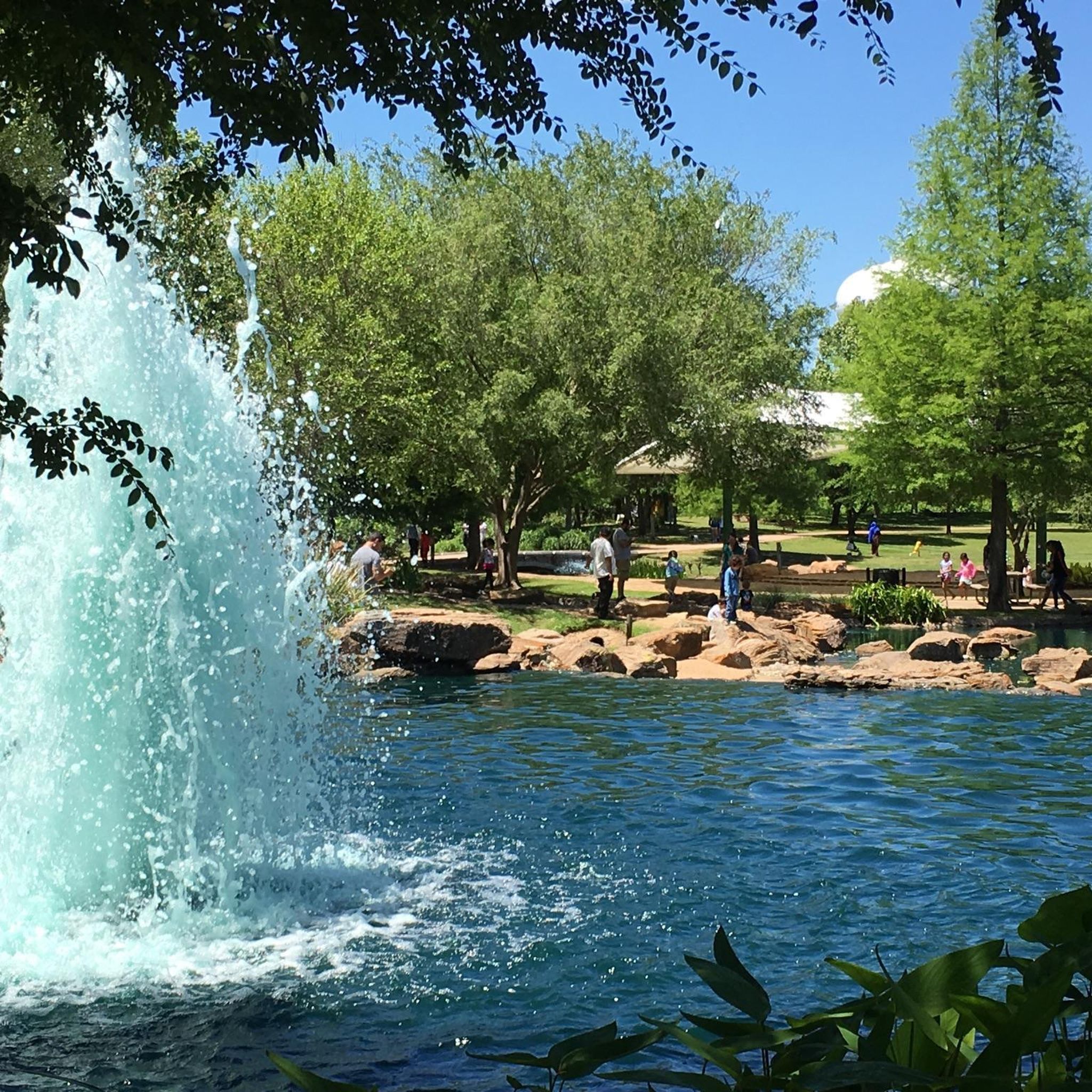
Oyster Creek Park is a well-shaded park with natural shade from trees and large shade structures, so it's a great stop on a hot day. Enjoy sitting by the fountain, but keep an eye out for the local gators that sometimes hang out there.
0
0
The Sugar Land Memorial Park's Butterfly Garden is made possible by volunteers who help maintain the plants and flowers in the garden. This area is right under the small metal windmill and is open to the public, for both human and insect enjoyment.
0
0

Memorial for all branches of the US military. There is a 40-foot Remembrance Tower and symbolic entryway with several plaques with information about the memorial.
1
0
The Justin Brindley Memorial Trail is one of the most popular trails in the park, so there is a good chance you will see other bikers on the path. The trail is all single track and has several areas with jumps.
0
0
Sugar Land Park is located on the banks of the Brazos River. There are several miles of trails to choose from and there are a range of difficulty level, so there should be a trail for everyone.
1
0

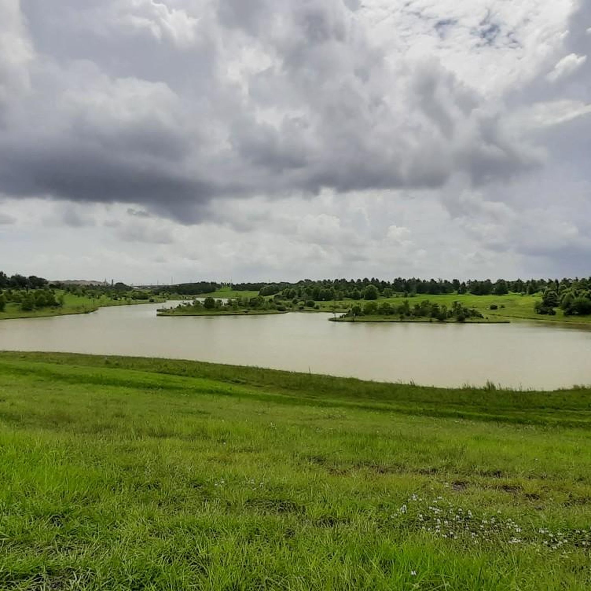
The lake is within the Riverstone complex. Riverstone is a multi-faceted complex that includes numerous activities and sporting and family facilities, such as a pool, tennis courts and playgrounds. There are also trails and paths around the lake.
0
0
Frequently Asked Questions
How many touring cycling routes are available in Missouri City?
There are over 20 touring cycling routes available around Missouri City, offering a variety of experiences. The komoot community has rated these routes highly, with an average score of 5.0 stars.
Are there touring cycling routes suitable for beginners or families in Missouri City?
Yes, Missouri City offers many easy, family-friendly routes. For instance, the Edible Arbor Trail is a 10-mile mostly paved path where you can enjoy unique fruit and nut trees. Another great option is the Justin Brindley Memorial Trail loop from Clements High School, an easy 8.5-mile route with mostly paved surfaces, suitable for all fitness levels.
What kind of terrain can I expect on touring cycling routes in Missouri City?
The terrain in Missouri City is generally flat with minimal elevation changes, making it suitable for various cycling abilities. Many routes feature paved paths, especially along natural waterways like Oyster Creek, offering comfortable and accessible rides. Some trails, like those within Oyster Creek Park, also provide natural tree cover for shade.
Are there any circular touring cycling routes in Missouri City?
Yes, several routes offer a loop experience. The Justin Brindley Memorial Trail loop from Clements High School is a popular easy loop. For a more moderate distance, consider the Brays Bayou Greenway – Urban Forest loop from Westbury, which is 23.3 miles long, or the Bike loop from Austin Park, covering 32.8 kilometers.
What natural features or attractions can I see along the touring cycling routes?
Many routes in Missouri City follow natural waterways like Oyster Creek, offering scenic views and shaded sections. You can explore the unique fruit and nut trees along the Edible Arbor Trail. Nearby attractions include the Justin Brindley Memorial Trail and the Brazos River Trail, which offer additional outdoor exploration opportunities.
What is the best time of year to go touring cycling in Missouri City?
The best time for touring cycling in Missouri City is typically during the cooler months, from late fall to early spring (October to April), when temperatures are more moderate. Summers can be very hot and humid, though shaded routes and early morning rides can still be enjoyable.
Are there any specific permits required for cycling on trails in Missouri City?
Generally, no specific permits are required for touring cycling on the public trails and greenways in Missouri City. However, it's always a good idea to check local regulations for any specific park or trail system you plan to visit, especially if venturing into more specialized areas like mountain bike parks.
Where can I find parking for touring cycling routes in Missouri City?
Many parks and trailheads in Missouri City offer designated parking areas. For routes like the Edible Arbor Trail, parking is typically available at Oyster Creek Park. For other routes, check the specific komoot tour page for details on recommended starting points and parking facilities.
Are there any less crowded touring cycling routes in Missouri City?
While popular routes like the Edible Arbor Trail can see more activity, many of the 22 available routes offer a chance for a quieter ride. Exploring some of the longer or slightly more challenging routes, or cycling during off-peak hours, can help you find a more serene experience.
What do other touring cyclists enjoy most about cycling in Missouri City?
The komoot community highly rates touring cycling in Missouri City, with an average score of 5.0 stars from around 8 reviews. Cyclists often praise the well-maintained paved paths, the natural tree cover along routes like Oyster Creek, and the accessibility of routes for various skill levels, from easy, relaxed rides to more moderate distances.
Can I access touring cycling routes in Missouri City using public transport?
While Missouri City has some public transport options, direct access to all trailheads via public transport might be limited. It's advisable to check local bus routes and schedules in conjunction with your chosen starting point. Many cyclists prefer to drive to a trailhead with parking.
Are there options for longer touring cycling routes in the Missouri City area?
Yes, for those looking for longer rides, routes like the Brays Bayou Greenway – Urban Forest loop from Westbury extends for 23.3 miles, leading through urban green spaces. Another option is the Bike loop from Austin Park, which covers 32.8 kilometers, offering a moderate distance for touring cyclists.
Most popular attractions around Missouri City

Get inspired with the komoot mobile app


Explore more
Browse the best Cycling routes in other regions.
