The best MTB trails around Faido
4.6
(218)
2,102
riders
15
rides
Mountain bike trails around Faido traverse a diverse landscape characterized by significant elevation changes, mountain peaks, and deep valleys. The region, nestled in the heart of Switzerland, offers varied terrain including singletrack, rocky sections, and demanding ascents and descents. Riders can expect routes that wind through alpine meadows, past waterfalls, and alongside serene lakes, providing a challenging yet rewarding experience.
Best mountain bike trails around Faido
- The most popular mountain bike trail is Carì Bike Trail, a 22.2 miles (35.8 km) difficult trail that takes 4 hours 4 minutes to complete. This route features substantial climbs and descents through alpine scenery.
- Another top favourite among local mountain bikers is Alpe di Gera e Passo Vanit – giro ad anello da Lavorgo, a difficult 28.2 miles (45.4 km) path. It offers extensive elevation gain and panoramic views of the surrounding mountains and valleys.
- Local mountain bikers also love the Sobrio e Puscett – giro ad anello da Lavorgo, a 20.1 miles (32.3 km) trail leading through varied terrain with significant elevation changes, often completed in about 3 hours 5 minutes.
- Mountain biking around Faido is defined by mountain peaks, passes, and picturesque lakes. The network offers options for different ability levels, with 15 routes ranging from moderate to difficult.
- The routes in Faido are highly rated by the komoot community with an average score of 4.6 stars from over 200 reviews. More than 2000 mountain bikers have used komoot to explore Faido's varied terrain.
Last updated: July 7, 2026
5.0
(3)
22
riders
35.8km
04:04
1,660m
1,660m
Hard mountain bike ride. Very good fitness required. Suitable for all skill levels.
1
riders
45.4km
05:55
2,250m
2,250m
Hard mountain bike ride. Very good fitness required. Advanced riding skills necessary. Some portions of the route may require you to push your bike.

Sign up for free
1
riders
32.3km
03:05
1,150m
1,150m
Hard mountain bike ride. Very good fitness required. Suitable for all skill levels.
4.7
(7)
114
riders
101km
09:15
2,430m
2,430m
Hard mountain bike ride. Very good fitness required. Advanced riding skills necessary. Some portions of the route may require you to push your bike.
5.0
(6)
28
riders
31.0km
02:44
1,040m
1,040m
Hard mountain bike ride. Very good fitness required. Suitable for all skill levels.
Get access to more routes and recommendations from other explorers.
Sign up for free
Already have an account?
Our route recommendations are based on thousands of hikes, rides, and runs completed by other people on komoot.
Start today with a free account
Your next adventure awaits.
Login or Signup
Popular around Faido
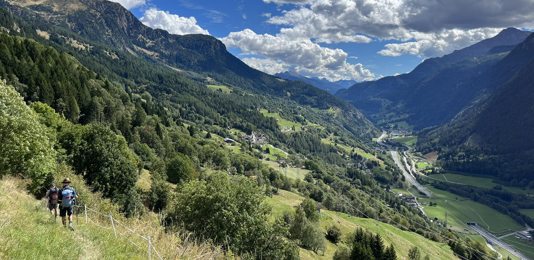
Strada alta – Hiking in the sun terrace of Switzerland

Trans Swiss Trail – Hiking across Switzerland

Via Gottardo – Following historic trails
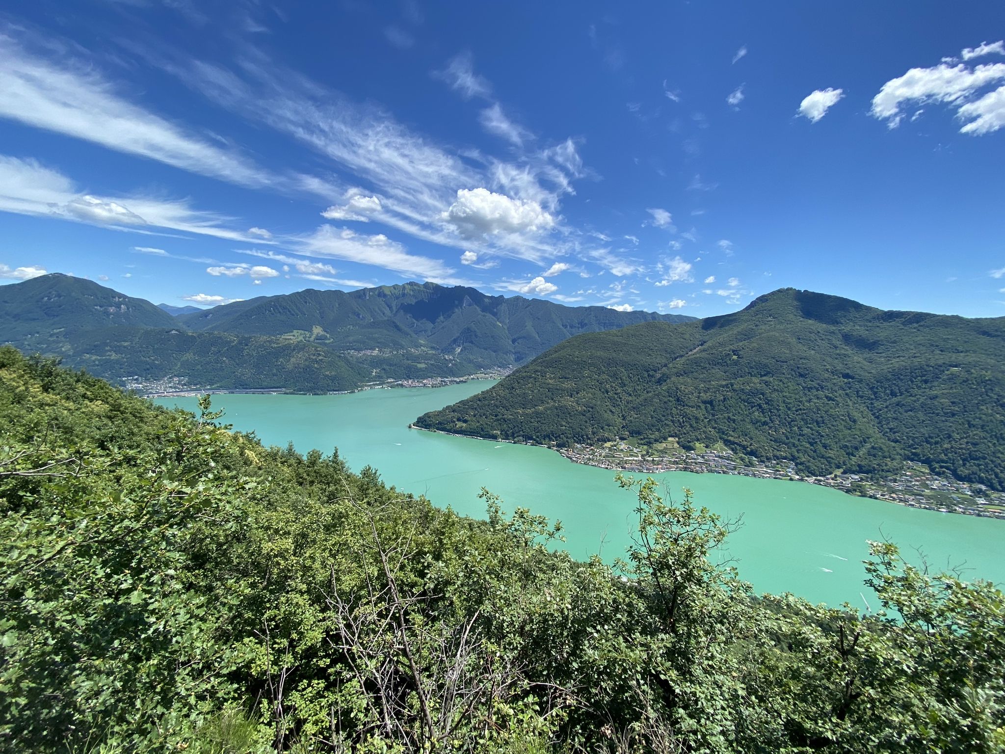
Trails with friends – komoot hiking relay through Ticino in Switzerland
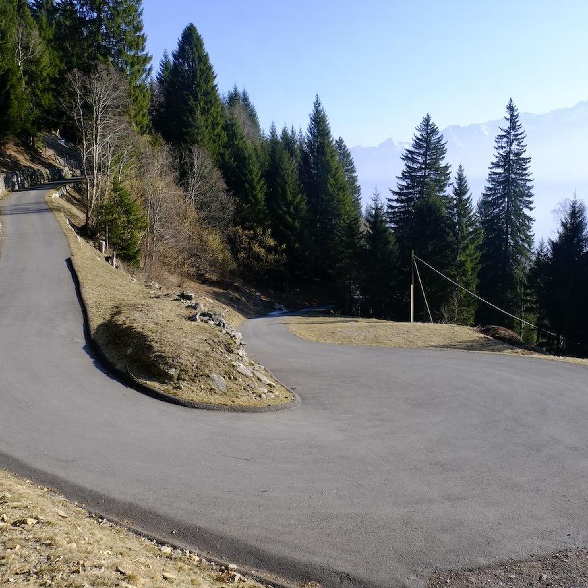
Hiking around Faido
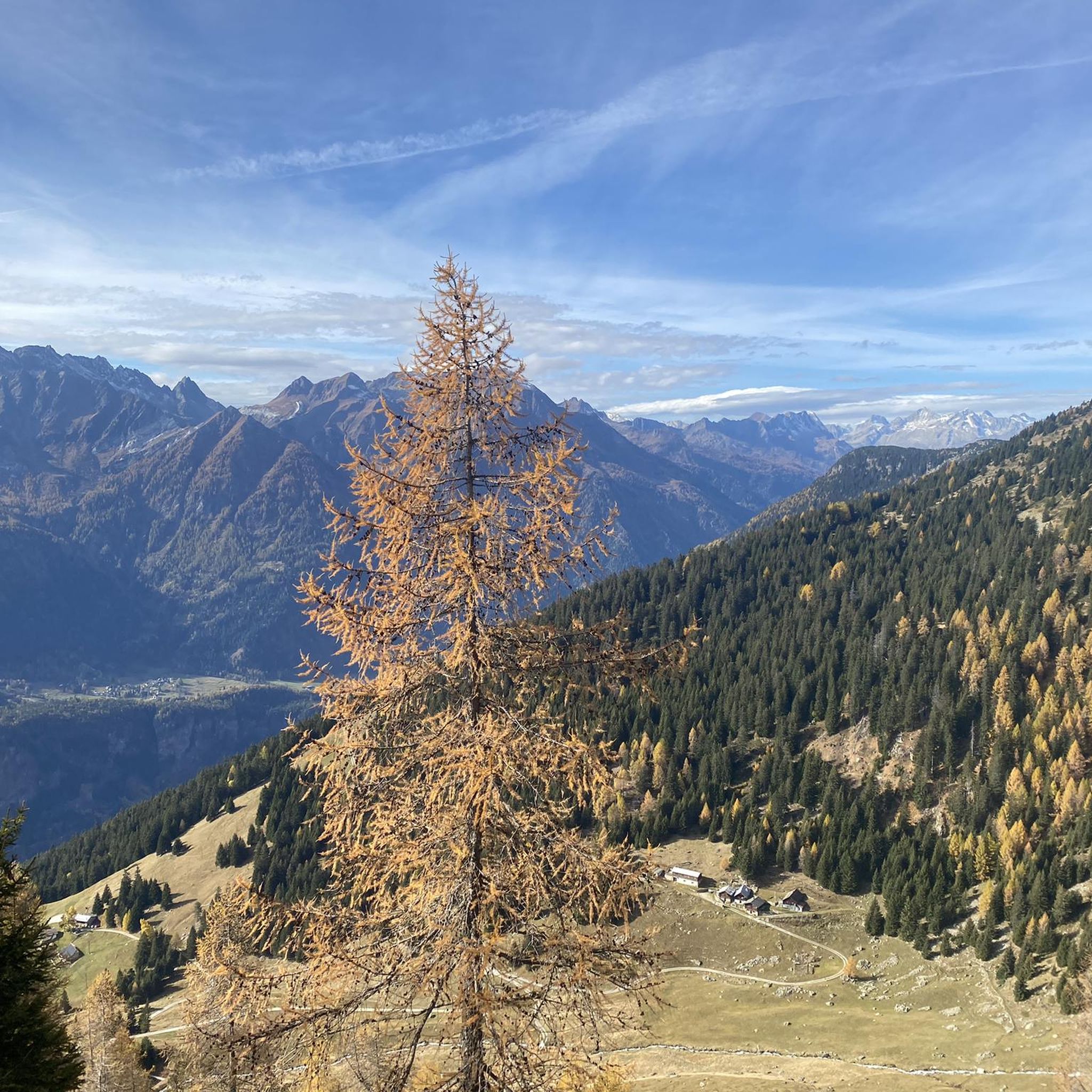
Running Trails around Faido
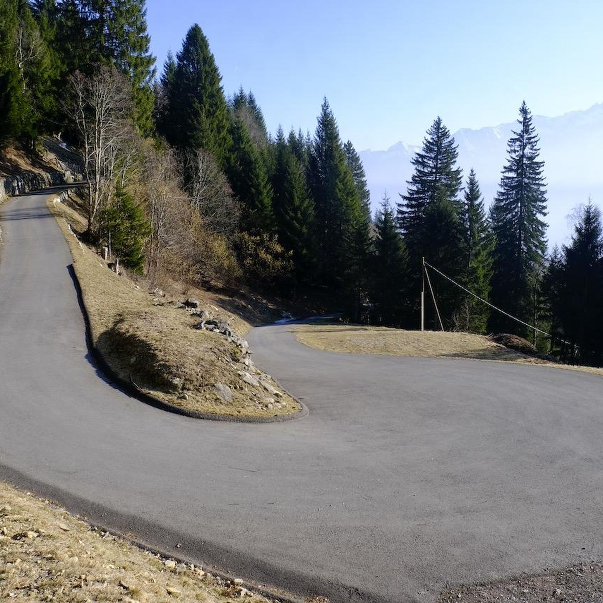
Road Cycling Routes around Faido
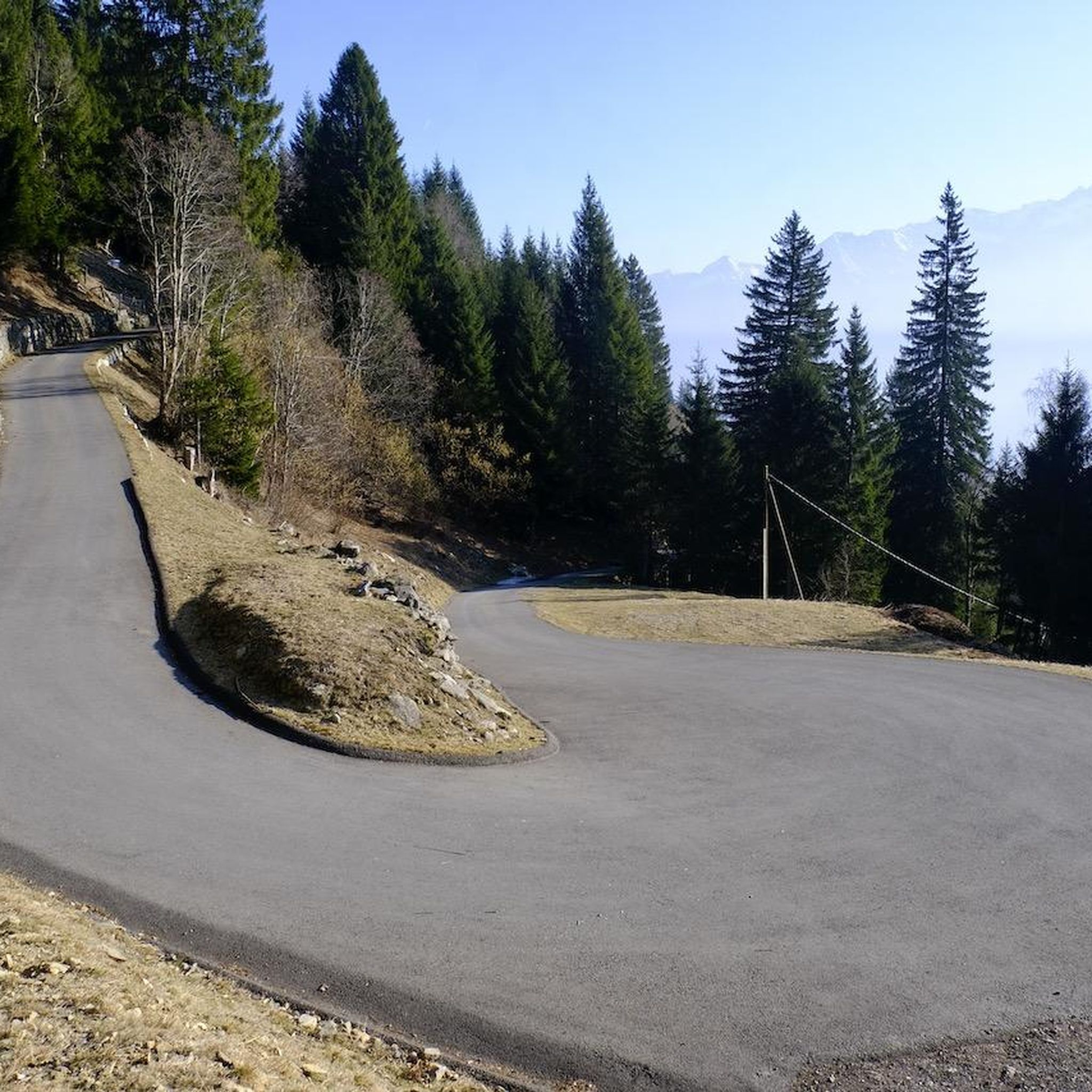
Cycling around Faido
Gravel biking around Faido
Mountain Hikes around Faido
Other adventures around Faido


Tips from the Community

Stunning trail, also suitable for gravel bikes and families. Discover MTB tours in the region at www.bleniobike.ch or here: www.komoot.com/it-it/collection/3576744/-blenio-bike-28-tour-mtb-in-valle-di-blenio-la-valle-del-sole
0
0

Smooth and beautiful trail, also passable uphill.
1
0

A remote village where time has stood still
0
0


Descent to Lucomagno done on Gravel (45mm tires, only got off the bike a couple of times)
0
0

Lake Tremorgio has a surface area of 39 hectares and is accessible by cable car. It is a mountain lake above Rodi and Fiesso in the municipality of Prato Leventina.
0
0

Partly challenging trail into the Blenio Valley, but a unique experience
0
1

Route along the Brenno river between Dengio and Acquarossa. The trail is a very pleasant doubletrack that offers very nice views of the surrounding mountains.
0
0
Frequently Asked Questions
What is the general difficulty level of mountain bike trails in Faido?
The mountain bike trails in Faido are predominantly challenging. Out of 15 routes, 12 are rated as difficult, and 3 are moderate. Riders can expect significant elevation changes, diverse terrain including singletrack and rocky sections, and demanding ascents and descents. For example, the Carì Bike Trail is a difficult 22.2-mile route with substantial climbs.
Are there any mountain bike trails suitable for less experienced riders in Faido?
While most trails in Faido are difficult, there are 3 moderate routes available for those seeking a less intense experience. These still offer a good workout and allow riders to enjoy the region's diverse terrain without the most extreme challenges. Always check the route details on komoot to ensure it matches your skill level.
What natural features and landmarks can I expect to see while mountain biking in Faido?
Faido's mountain bike trails wind through stunning natural landscapes. You can expect to encounter picturesque lakes such as Lake Ritom and Lake Tom, dramatic mountain passes like Lukmanier Pass, and even beautiful waterfalls like Froda Waterfall. The region is characterized by mountain peaks and deep valleys, offering panoramic views throughout your ride.
When is the best time of year to go mountain biking in Faido?
The best time for mountain biking in Faido is generally from late spring through early autumn (May to October). During these months, the weather is more stable, trails are free of snow, and alpine meadows are vibrant. Always check local weather conditions and trail status before heading out, especially in shoulder seasons, as high-altitude routes can still be affected by snow or adverse weather.
Are there any circular mountain bike routes in the Faido area?
Yes, Faido offers several excellent circular mountain bike routes. A notable option is the Alpe di Gera e Passo Vanit – giro ad anello da Lavorgo, a difficult 28.2-mile loop offering extensive elevation gain and panoramic views. Another popular loop is Sobrio e Puscett – giro ad anello da Lavorgo, which is 20.1 miles long and leads through varied terrain.
What do other mountain bikers enjoy the most about mountain biking in Faido?
The mountain biking experience in Faido is highly rated by the komoot community, with an average score of 4.6 stars from over 200 reviews. Riders frequently praise the diverse terrain, challenging climbs, and the stunning alpine scenery that includes lakes, waterfalls, and panoramic mountain views. The rewarding nature of the trails, despite their difficulty, is a common highlight.
How accessible are the mountain bike trails in Faido by public transport?
Faido, being in Switzerland, generally benefits from a well-connected public transport network. While specific public transport links to every trailhead are not detailed, many routes in the region, including those starting from Lavorgo, are often reachable via local bus services or train connections. It's advisable to check local transport schedules for specific trail starting points.
Is parking available at the trailheads in Faido?
Parking availability at trailheads in Faido can vary. In general, Swiss outdoor destinations often provide designated parking areas, especially for popular routes. However, specific details for each trailhead are not provided here. It's recommended to check the individual route descriptions on komoot or local tourist information for precise parking options before your ride.
Are there any particularly long and challenging mountain bike routes in Faido?
Yes, Faido is home to several long and challenging mountain bike routes. The Lake Ritom – Capanna Cadagno loop from Lavorgo is a particularly demanding option, covering over 63 miles (101 km) with an elevation gain of approximately 2,480 meters, making it one of the most extensive rides in the area.
Can I find mountain huts or places to stop for refreshments along the trails in Faido?
The Swiss Alps, including the Faido region, are known for their network of mountain huts and guesthouses. While specific amenities on every trail are not listed, it is common to find opportunities for refreshments or even overnight stays in huts or small villages along longer routes. Planning your route with komoot can help identify potential stops.
What kind of terrain can I expect on the mountain bike trails around Faido?
The terrain around Faido is highly varied and dynamic. Riders will encounter a mix of singletrack, rocky sections, and forest paths. The routes often feature significant elevation changes, traversing alpine meadows, deep valleys, and winding through mountainous landscapes. This diversity ensures a constantly engaging and challenging riding experience.
Most popular attractions around Faido

Get inspired with the komoot mobile app


Explore more
Browse the best MTB trails in other regions.
