The best road cycling routes around Pflugerville
4.7
(12)
547
riders
57
rides
Road cycling around Pflugerville features an extensive network of trails and rural roads, earning it the title of "Trail Capital of Texas." The landscape is characterized by relatively flat terrain with small rolling hills, particularly on the east side near the Balcones Escarpment. This area offers a mix of paved multiuse trails and scenic rural roads, providing diverse options for road cyclists. The city boasts over 56 miles of public trails within its limits, ensuring accessible paths for recreation.
Best…
Last updated: May 20, 2026
4.3
(3)
16
riders
Moderate road ride. Great for any fitness level. Some segments of this route may be unpaved and difficult to ride.
12
riders
Moderate road ride. Good fitness required. Mostly well-paved surfaces and easy to ride.

Sign up for free
11
riders
Moderate road ride. Good fitness required. Mostly well-paved surfaces and easy to ride.
10
riders
Moderate road ride. Good fitness required. Mostly well-paved surfaces and easy to ride.
7
riders
Moderate road ride. Good fitness required. Mostly well-paved surfaces and easy to ride.
Get access to more routes and recommendations from other explorers.
Sign up for free
Already have an account?
Our route recommendations are based on thousands of hikes, rides, and runs completed by other people on komoot.
Start today with a free account
Your next adventure awaits.
Login or Signup


Tips from the Community

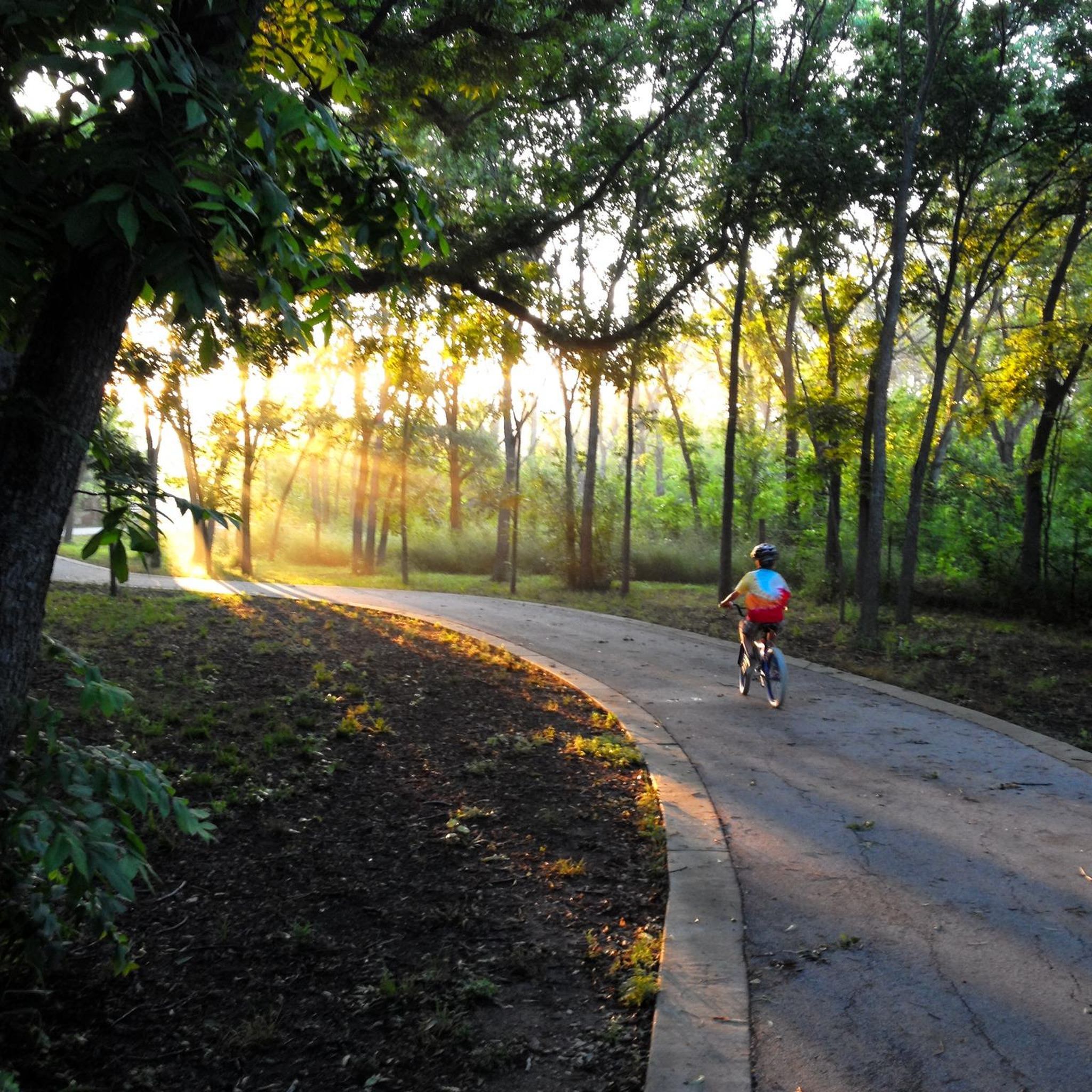
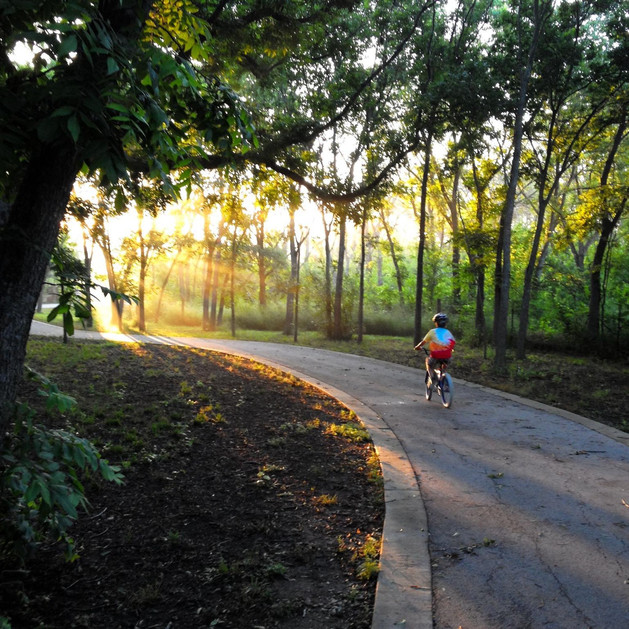
Stretching 6.5 miles through Pflugerville, the Gilleland Creek Trail offers a green corridor amidst the urban landscape. Everyone can enjoy the tranquility of the creek and the surrounding trees. The Gilleland Creek is spring-fed, ensuring a constant flow of water throughout the year.
0
0
Established in the early 1900s, the district features a collection of four brick buildings showcasing popular architectural styles of the era. Stepping into this district is like stepping back in time, providing a tangible connection to the town's history and heritage. The use of stone, cast stone, and colored brick details adds a touch of visual intrigue.
0
0

Lake Pflugerville Park doesn't have a ton of shade, but everything else about the park makes it pretty perfect for a walk. There is a 3-mile crushed-gravel path that circles around the entire lake with a beach area, fishing pier, and a bunch of green space and picnic areas.
0
0

Frequently Asked Questions
How many road cycling routes are available in Pflugerville?
There are over 60 road cycling routes around Pflugerville on komoot, offering a wide variety of experiences across the city's extensive trail network. These routes cater to various skill levels, with 19 easy, 40 moderate, and 1 difficult option.
What kind of terrain can I expect on road cycling routes in Pflugerville?
Pflugerville's road cycling routes generally feature a relatively flat landscape with small rolling hills, particularly on the east side near the Balcones Escarpment. You'll find a mix of well-maintained paved multiuse trails and scenic rural roads, providing diverse options for cyclists.
Are there any family-friendly road cycling routes in Pflugerville?
Yes, Pflugerville offers several family-friendly options, particularly on its extensive network of paved multiuse trails. The Pflugerville Historic District – Gilleland Creek Trail loop from North East Metropolitan Skate/Bike Park is a moderate 23.8 km route that combines urban cycling with natural creek views, suitable for families looking for a pleasant ride. Many of the city's trails, like the Gilleland Creek Trail, are generally flat and well-maintained.
Where can I find scenic views while road cycling in Pflugerville?
For scenic views, consider routes that incorporate the Gilleland Creek Trail, which offers a green corridor with creek views and surrounding trees. The rural roads east of Lake Pflugerville, such as Cameron Rd, Weiss Ln, Clele Rd, and Gregg Manor, also provide picturesque day trips with varying distances and scenery. Additionally, the Lake Pflugerville Park features a 3-mile crushed-granite trail around the lake with scenic views.
What are the difficulty levels of road cycling routes in Pflugerville?
The road cycling routes in Pflugerville range from easy to difficult. Komoot lists 19 easy routes, 40 moderate routes, and 1 difficult route. This variety ensures that both beginners and experienced cyclists can find suitable challenges, from leisurely rides on flat trails to longer excursions on rural roads with rolling hills.
Are there any notable landmarks or attractions along the road cycling routes?
Yes, several routes pass by or near interesting landmarks and natural features. The St John’s Lutheran church – New Sweden Lutheran Church loop from Parking Lot B explores rural roads and historic churches east of Pflugerville. You can also find highlights like the North Walnut Creek Trail, Brushy Creek Hike and Bike Trail, and Lake Pflugerville Park, which are popular spots for outdoor activities.
What do other road cyclists enjoy most about road cycling in Pflugerville?
The area is highly rated by the komoot community, with an average score of 5.0 stars from over 20 reviews. Reviewers often praise the extensive trail network, the mix of paved multiuse trails and scenic rural roads, and the accessibility of paths for recreation. Many appreciate the diverse options for various ability levels.
Are there options for longer road cycling loops in Pflugerville?
Absolutely. For longer rides, consider routes like the New Sweden Lutheran Church – St John’s Lutheran church loop from Parking Lot B, which is a 74.0 km (46.0 miles) trail leading through rural landscapes and historic sites. The rural roads east of Lake Pflugerville also offer options for 17, 37, or 50-mile loops, providing ample distance for endurance cyclists.
Is parking available at the trailheads for road cycling routes?
Many of Pflugerville's parks and trail access points offer parking. For example, the St John’s Lutheran church – New Sweden Lutheran Church loop starts from Parking Lot B, indicating designated parking. It's always a good idea to check specific route details on komoot for recommended starting points and parking information.
What is the best time of year for road cycling in Pflugerville?
Pflugerville's climate generally allows for road cycling year-round, but spring and fall offer the most pleasant temperatures. Summers can be hot, so early morning or late afternoon rides are recommended. Winters are typically mild, making it possible to cycle comfortably on most days.
Are there any specific trails that are mostly paved for road bikes?
Yes, many of Pflugerville's trails are mostly paved surfaces, making them ideal for road bikes. The city's commitment to its trail network means that options like the Gilleland Creek Trail and sections of the Northern Walnut Creek Trail are well-maintained and suitable for road cycling. The Pflugerville Historic District – Gilleland Creek Trail loop is a good example of a route that combines paved sections with scenic views.
Most popular routes around Pflugerville
Most popular attractions around Pflugerville

Get inspired with the komoot mobile app


Explore more
Browse the best Road cycling routes in other regions.
