The best road cycling routes around Leander
4.6
(74)
834
riders
91
rides
Road cycling routes around Leander are set within the picturesque Texas Hill Country, offering a diverse landscape for cyclists. The region features a mix of dedicated paved paths, such as the 183A Shared Use Path, and local roads with bike lanes. Cyclists can find routes with varied elevation changes, from flatter sections along Brushy Creek to more challenging climbs.
Best road cycling routes around Leander
- The most popular road cycling route is Twin Lakes Lower Pool – Brushy Creek Trail…
Last updated: September 30, 2026
10
riders
47.3km
02:49
230m
230m
Moderate road ride. Good fitness required. Some segments of this route may be unpaved and difficult to ride.
6
riders
47.0km
02:16
240m
240m
Moderate road ride. Good fitness required. Some segments of this route may be unpaved and difficult to ride.

9
riders
20.0km
01:01
300m
300m
Easy road ride. Great for any fitness level. Mostly well-paved surfaces and easy to ride.
14
riders
60.2km
02:53
770m
770m
Moderate road ride. Good fitness required. Mostly well-paved surfaces and easy to ride.
4
riders
27.0km
01:08
180m
180m
Easy road ride. Great for any fitness level. Mostly well-paved surfaces and easy to ride.
Get access to more routes and recommendations from other explorers.
Already have an account?
Our route recommendations are based on thousands of hikes, rides, and runs completed by other people on komoot.
Start today with a free account
Your next adventure awaits.
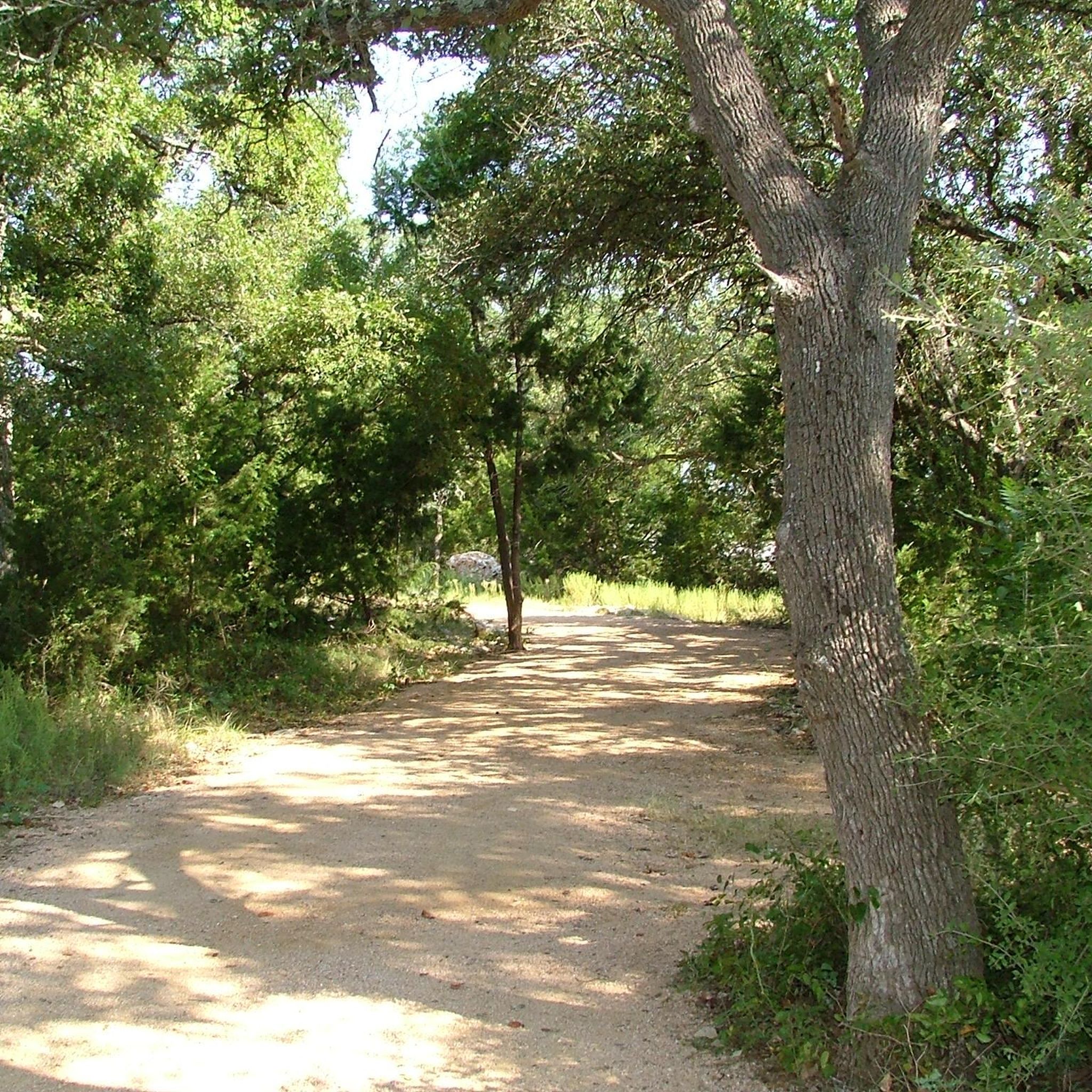

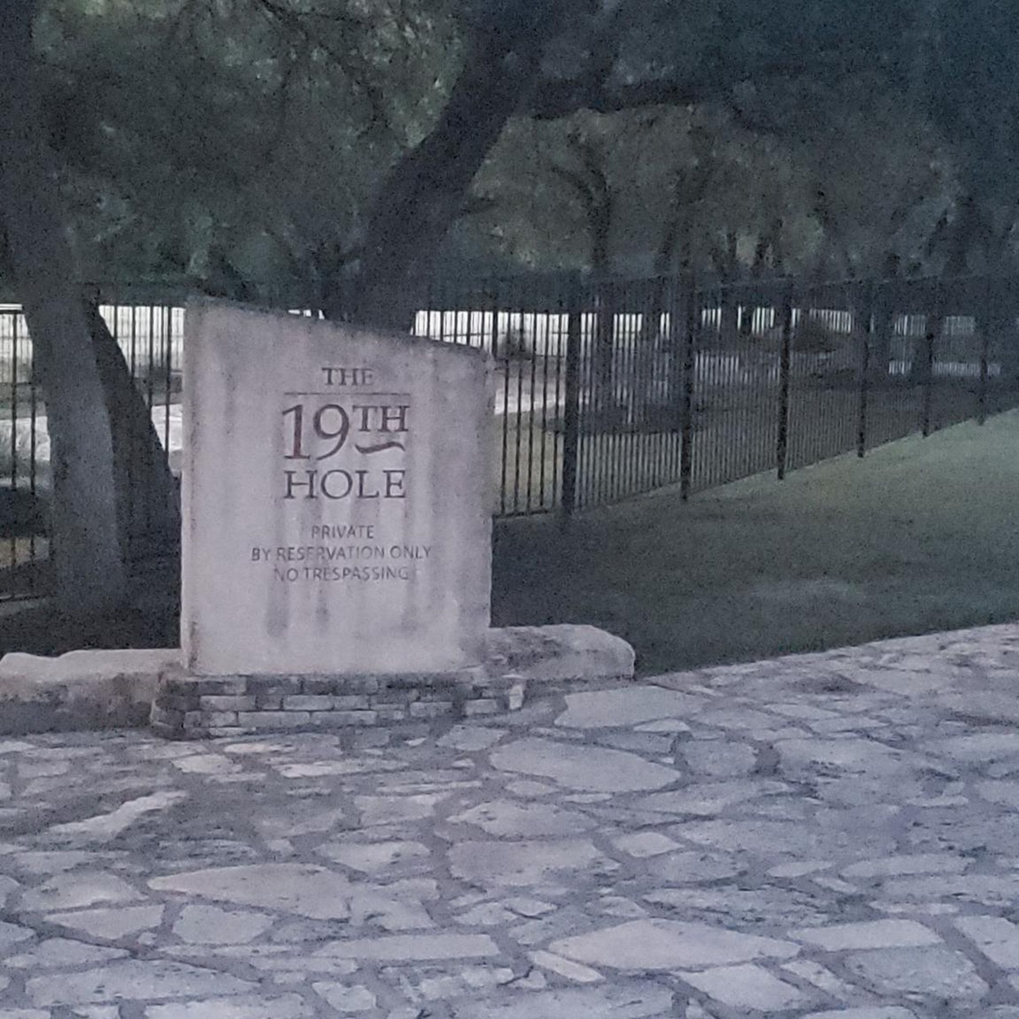

Tips from the Community

It's a nice place to escape the hustle and bustle of the city and just get some exercise. Parking is free.
0
0

This bridge takes you over a portion of the Spanish Oak Creek, one of the main features of this park. From the bridge, you'll enjoy water views surrounded by lush greenery, making it a perfect spot to slow down and appreciate nature and the diverse wildlife you may see along your run.
0
0

The Cedar Park Sculpture Garden features a paved walking path around the pond formed by Spanish Oak Creek. As the name suggests, there are sculptures, plants, and benches lining the trail along with informational plaques and plenty of green space. The trail passes under the bridge and forms a loop with a couple different parking areas offering access to the property.
0
0
This 13-acre greenbelt offers miles of trails through a lush, tree-filled area. With both paved and dirt trails, you can mix up your run depending on how you're feeling. You'll also have the chance to enjoy Brushy Creek as it meanders through the area.
0
0
With pavilions, playgrounds, lakeside paths, cabins, and a load of other recreational offerings, Twin Lakes Park is a really popular park and trailhead in Cedar Park. The western terminus of the Brushy Creek Trail starts/ends on the north side of the water, and there are a number of other nature paths and commuter trails that convene here.
0
0
Brushy Creek Lake Park features multiple large pavilions, lots of open space, and a pretty big parking lot. There's easy trail access to get down to the water, too.
0
0
Brushy Creek Trail is a little over 7 miles in total and connects to a bunch of other trails and paths in the city. The trail is mostly paved with a few patches of crushed-gravel and a lot of bridges. The trail also goes through a handful of parks that offer different parking options so that you can start your ride from a number of spots.
0
0
The Lake Creek Loop Trail is a smooth dirt trail that branches off of the main Brushy Creek Trail and gets right up next to the water. This is the most popular trail in Brushy Creek Lake Park and features some picnic areas and open space right off the side of the path.
0
0
Frequently Asked Questions
How many road cycling routes are available around Leander?
There are over 90 road cycling routes around Leander, offering a diverse range of options for cyclists. These routes cater to various fitness levels, from easy rides to more challenging ones.
What kind of terrain can I expect on road cycling routes in Leander?
Leander's road cycling routes are set within the picturesque Texas Hill Country, featuring varied terrain. You'll find a mix of dedicated paved paths, such as the 183A Shared Use Path, and local roads with bike lanes. Routes can range from flatter sections along Brushy Creek to significant elevation gains, offering diverse experiences.
Are there any easy road cycling routes suitable for beginners in Leander?
Yes, Leander offers several easier road cycling routes. Approximately 27 routes are categorized as easy, providing gentler rides with less elevation gain, perfect for beginners or those seeking a relaxed pace. Many routes along the Brushy Creek Trail system offer moderate options that can be adapted for easier rides.
Which routes offer a longer, more challenging road cycling experience?
For a longer and more challenging ride, consider the Shin Oak Observation Deck loop from Leander. This route covers nearly 60 miles (96.9 km) with over 2,000 feet (630m) of elevation gain, providing a significant workout through the Leander landscape. There are also 2 routes categorized as difficult for experienced cyclists.
Are there any family-friendly road cycling options in Leander?
While dedicated family-specific road cycling routes are not explicitly listed, the extensive Brushy Creek Trail system, which incorporates several road cycling routes, offers paved sections that can be suitable for families. The 183A Shared Use Path also provides a dedicated, car-free option connecting Leander to Cedar Park, which can be a good choice for families.
What are the best times of year for road cycling in Leander?
The best times for road cycling in Leander are typically during the spring and fall months. These seasons offer milder temperatures, making for more comfortable rides. Summers can be very hot, and while winters are generally mild, checking local weather conditions is always advisable before heading out.
What do other road cyclists say about the routes in Leander?
The road cycling routes in Leander are highly regarded by the komoot community, with an average rating of 4.5 stars from over 50 reviews. Cyclists often praise the varied terrain, the extensive Brushy Creek Regional Trail system, and the dedicated paved paths that make for enjoyable rides.
Are there any scenic viewpoints or natural attractions along the road cycling routes?
Yes, Leander's location in the Texas Hill Country means many routes offer scenic views. While cycling, you might pass by areas near Waterfall at Twin Lakes Park or the broader Brushy Creek Regional Trail system, which is known for its natural beauty. For more natural features, consider exploring areas around Crockett Garden Falls, though this may require a short detour or hike from cycling paths.
Where can I find parking for road cycling routes in Leander?
Many of Leander's parks and trailheads offer parking facilities. For routes incorporating the Brushy Creek Trail, you can often find parking at various access points along the trail, including areas near Twin Lakes Park. Specific parking details for individual routes are usually available on their respective komoot tour pages.
Are there any loop routes for road cycling in Leander?
Yes, many of the road cycling routes in Leander are designed as loops, allowing you to start and end at the same point. Popular examples include the Twin Lakes Lower Pool – Brushy Creek Trail loop from Leander and the Brushy Creek Trail loop from Leander, which offer convenient circular journeys.
Are dogs allowed on the bike trails in Leander?
While many parks in Leander are dog-friendly, specific regulations for dogs on bike trails can vary. For instance, Lakewood Park features a dog park. It's generally advisable to check the specific rules for each trail or park you plan to visit, ensuring dogs are leashed and waste is properly disposed of. The paved sections of the Brushy Creek Trail are popular for walks with leashed dogs.
What amenities are available near the road cycling routes, such as cafes or restrooms?
Leander's parks and trail systems, particularly along the Brushy Creek Trail, often have amenities like restrooms and water fountains. For cafes and other services, you'll find options in the nearby urban areas of Leander and Cedar Park. Twin Lakes Park and Lakewood Park, for example, offer facilities that can be convenient for cyclists.
Are there any dedicated bike lanes or shared-use paths for road cyclists?
Yes, Leander offers dedicated infrastructure for cyclists. The 183A Shared Use Path is a 7-mile paved path running alongside the 183 Toll Road, providing a car-free option. Additionally, some local roads, such as those from Crystal Falls to Travisso, feature bike lanes for safer on-street cycling.
Most popular attractions around Leander

Get inspired with the komoot mobile app


Explore more
Browse the best Road cycling routes in other regions.
