The best walks and hikes around North Richland Hills
3.6
(7)
189
hikers
34
hikes
Hiking around North Richland Hills explores a network of urban parks and greenbelts, connected by both paved and unpaved paths. The terrain is generally flat, with routes winding through local parkland, alongside creeks, and into pockets of woodland. This trail system provides accessible outdoor recreation within the Dallas-Fort Worth metroplex. Many trails follow creek-sides and lead through wooded areas, offering natural escapes within the urban environment.
Best hiking trails around North Richland Hills
- The most popular hiking route is Capp…
Last updated: September 26, 2026
12
hikers
2.14km
00:33
10m
10m
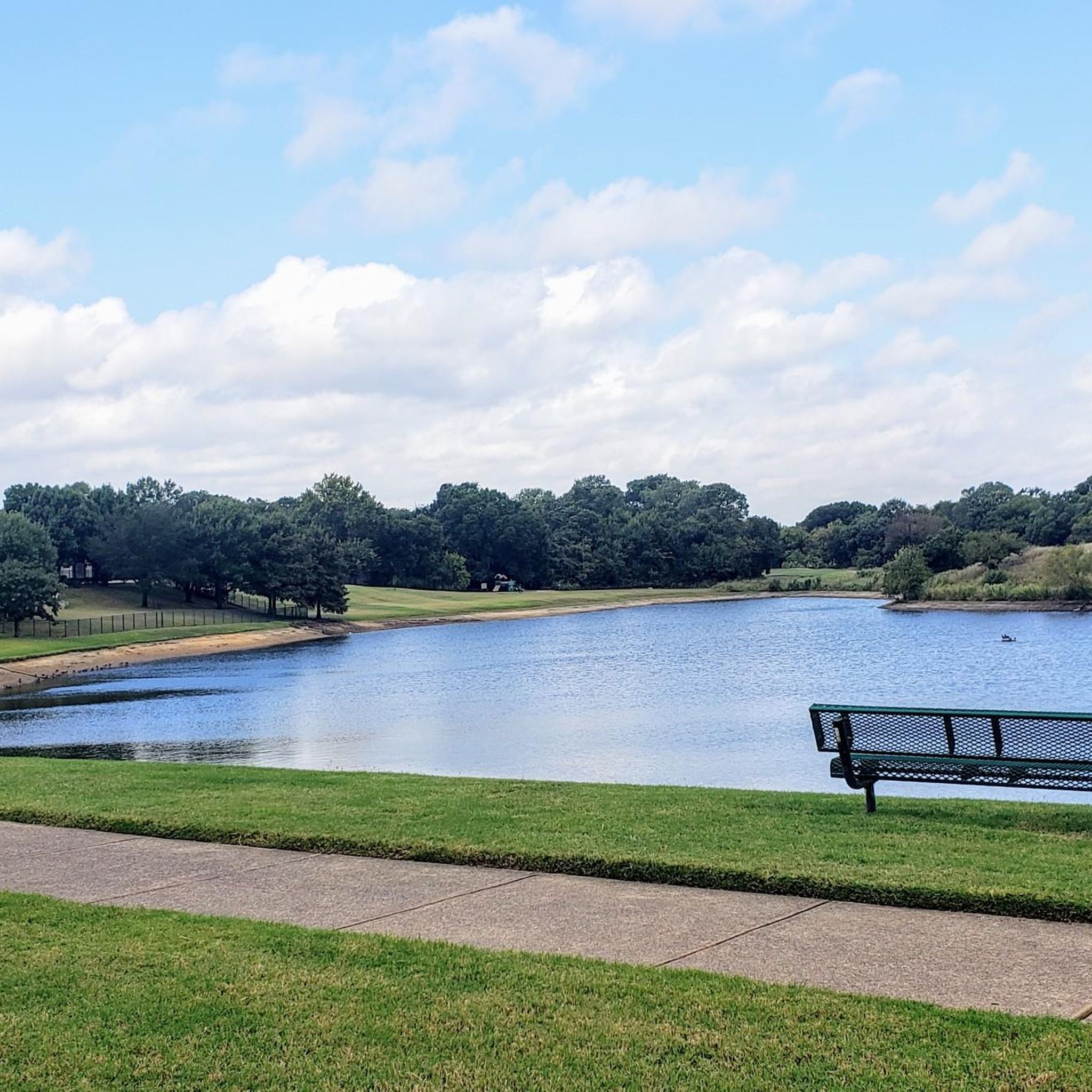
The Capp Smith Park Trail is a delightful, easy hike that winds around a picturesque six-acre, spring-fed pond, offering continuous open views of the water. This paved loop provides a…
1
hikers
2.21km
00:34
0m
10m
The Whites Branch Creek Trail offers a delightful, easy stroll through a green urban oasis, perfect for a quick nature fix. As you follow the path, you'll experience a mix…

1
hikers
1.55km
00:24
0m
0m
The Fossil Creek Red Trail offers a delightful, easy hike through a wooded landscape right in Fort Worth, Texas. You'll follow a winding singletrack path under good tree cover, eventually…
2.20km
00:33
0m
0m
The Colleyville Nature Center Trail offers a delightful and easy escape into a surprisingly diverse natural setting. As you walk this route, you'll journey through shaded woodlands, open meadows, and…
30.2km
07:44
110m
120m
The Cotton Belt Trail in North Texas offers a unique long-distance hiking experience, tracing a former railway line through the Dallas-Fort Worth Metroplex. You'll traverse a varied landscape, from suburban…
Get access to more routes and recommendations from other explorers.
Already have an account?
Our route recommendations are based on thousands of hikes, rides, and runs completed by other people on komoot.
Start today with a free account
Your next adventure awaits.

Tips from the Community

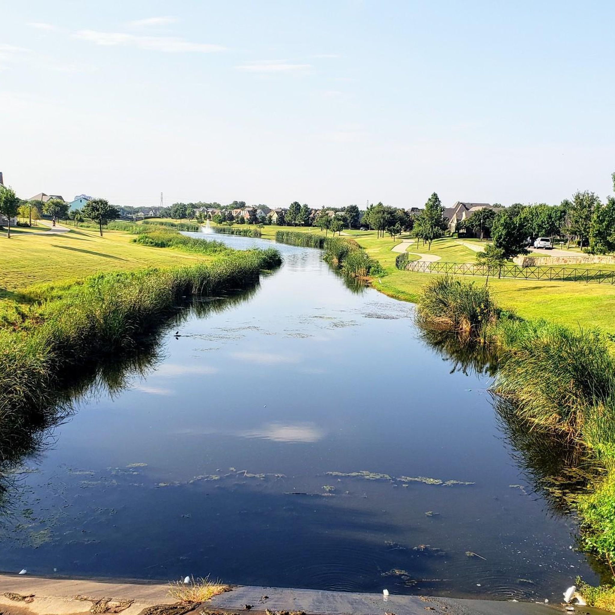
This 20-acre park is exceptionally kid-friendly, featuring two playgrounds, a sprayground (water park playground), and picnic pavilions. The trail connecting this park and Buffalo Ridge Park winds through a lush green area, providing picturesque views of the Fort Worth area.
0
0
Frequently Asked Questions
Are there many easy, beginner-friendly hikes in North Richland Hills?
Yes, the area is excellent for beginners. The terrain is mostly flat, and the majority of the trails are rated as easy. A great example is the Walker's Creek Park loop, which is a gentle and short walk through a pleasant local park.
Can I take my dog on the trails?
Dogs are generally welcome on trails in and around North Richland Hills, provided they are kept on a leash. Many of the city parks are dog-friendly. For a more extensive hike with your pet, Cedar Ridge Preserve is a popular, highly-rated option nearby where leashed dogs are permitted on the trails.
Are there paved trails suitable for strollers or wheelchairs?
Absolutely. Many of the trails within the NRH Trails system are paved, making them ideal for strollers and wheelchairs. The Arcadia Trail loop is a fully paved greenway with very little elevation change, offering a smooth and accessible experience.
What are some good places for family hikes with kids?
For a family-friendly outing, look for parks with playgrounds and easy trails. Linda Spurlock Park is a great choice, featuring a walking trail around a pond and a playground. Adventure World Playground is another local favorite that combines excellent play structures with walking paths.
Are there any hiking trails with water views?
Several trails offer pleasant water views. Many paths, like the one in Linda Spurlock Park, run alongside local ponds and creeks. For a route that follows a larger waterway, the Trinity Trails via River Trails Park hike provides views of the West Fork Trinity River.
Where can I find a longer loop trail for a more substantial walk?
If you're looking for a bit more distance, the Whites Branch Park loop via Buffalo Ridge Park is a good option. At around 3.7 miles (6 km), it connects two parks and offers a longer continuous walk than many of the shorter park circuits.
Are there any waterfalls on the hiking trails near North Richland Hills?
The landscape around North Richland Hills is generally flat, so natural waterfalls are not a feature of the local trails. The hikes in this area are better known for their pleasant parkland scenery, creek-side paths, and quiet wooded sections.
What should I wear for hiking in the North Texas area?
Wear light, moisture-wicking clothing, especially during the warmer months from spring through fall. Comfortable walking shoes or trail runners are sufficient for most paths. Always bring a hat, sunglasses, and sunscreen, as many trails have limited shade. In winter, layering is key to adapt to changing temperatures.
What is the best time of year to hike around North Richland Hills?
The best times to hike are during the spring and fall when temperatures are mild and pleasant. Summers can be very hot and humid, so if you hike then, go early in the morning or late in the evening and carry plenty of water. Winter offers cool, crisp weather perfect for hiking, though you'll want to dress in layers.
Where can I find more rugged, unpaved trails?
For a more natural trail surface, check out the Fossil Creek Park MTB Trail. While designed for mountain biking, it's also popular with hikers looking for an unpaved, single-track experience. It's considered a well-maintained trail suitable for those new to dirt paths.
How do other hikers rate the trails in North Richland Hills?
The area is well-regarded by the komoot community, with an average rating of 3.7 stars. Hikers often praise the accessibility of the parks and the well-maintained paved paths that make it easy to get outdoors within the city.
Where can I park to access the trails?
Most trails are located within city parks that provide dedicated parking lots. For example, to walk the Cross Timbers Park loop, you can park at the lots within Cross Timbers Park. Similarly, Walker's Creek Park and Linda Spurlock Park have their own parking areas close to the trailheads.
Most popular routes around North Richland Hills
Most popular attractions around North Richland Hills

Get inspired with the komoot mobile app


Explore more
Browse the best Hikes in other regions.
