The best road cycling routes around Lewisville
4.8
(20)
937
riders
91
rides
Road cycling routes around Lewisville feature a network of paved paths and dedicated lanes across a landscape characterized by the expansive Lewisville Lake. The region offers flat to gently rolling terrain, making it accessible for various skill levels. Lewisville's infrastructure includes well-maintained city trails and connections to larger regional paths, providing diverse experiences.
Best road cycling routes in Lewisville
- The most popular road cycling route is Legacy Trail loop from Lebanon Trail High School, a 32.5 miles (52.3 km) trail…
Last updated: August 20, 2026
4.0
(1)
11
riders
71.9km
03:12
360m
360m
Cycle a moderate 44.7-mile loop from Flower Mound to Westlake via the scenic Horseshoe Trail, gaining 1177 feet in elevation.
12
riders
34.7km
01:38
100m
100m
Easy road ride. Great for any fitness level. Mostly well-paved surfaces and easy to ride.

Sign up for free
5.0
(2)
9
riders
56.4km
02:50
300m
300m
Moderate road ride. Good fitness required. Mostly well-paved surfaces and easy to ride.
11
riders
54.4km
02:39
310m
310m
Moderate road ride. Good fitness required. Mostly well-paved surfaces and easy to ride.
4.5
(2)
7
riders
Moderate road ride. Good fitness required. Mostly well-paved surfaces and easy to ride.
Get access to more routes and recommendations from other explorers.
Sign up for free
Already have an account?
Our route recommendations are based on thousands of hikes, rides, and runs completed by other people on komoot.
Start today with a free account
Your next adventure awaits.
Login or Signup
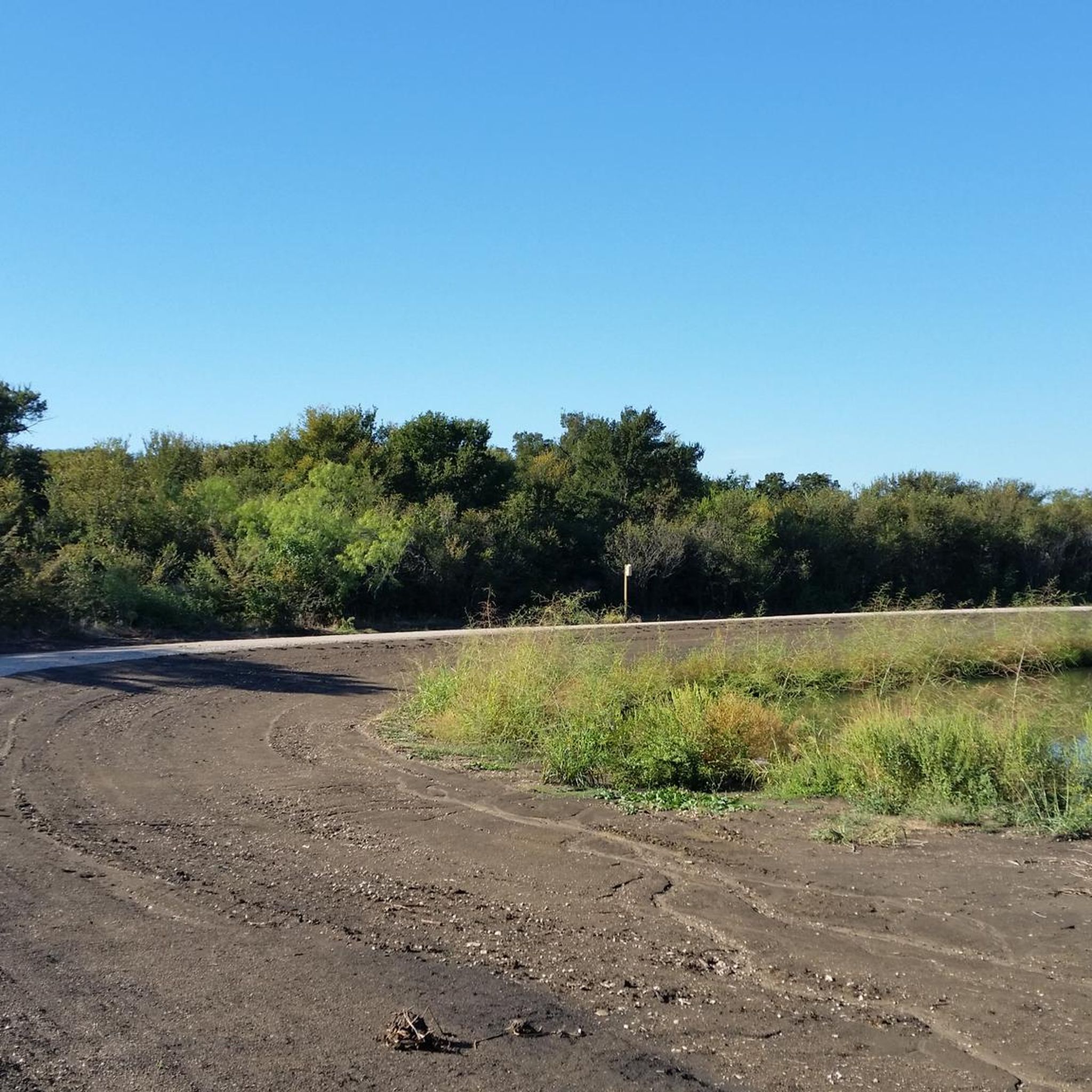

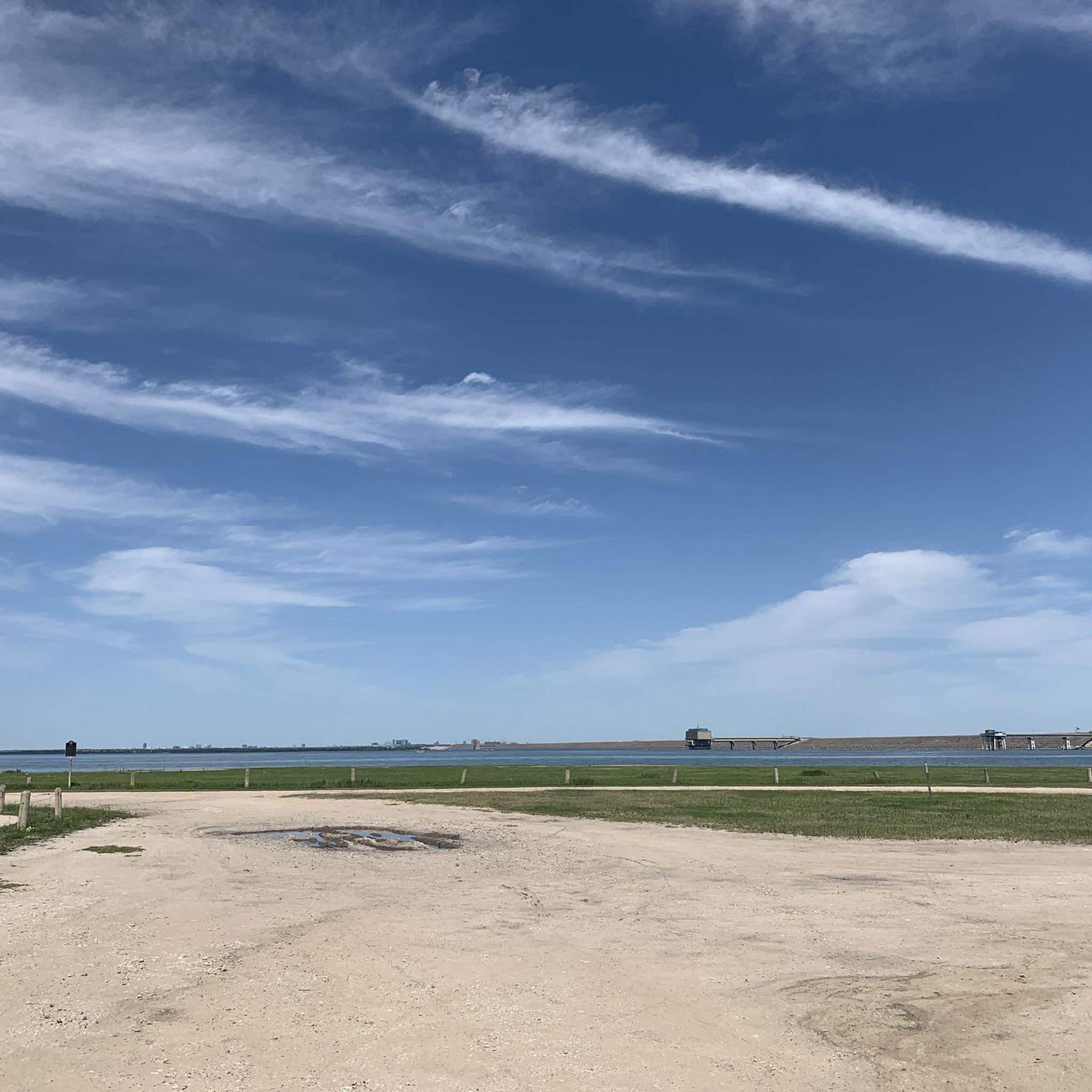
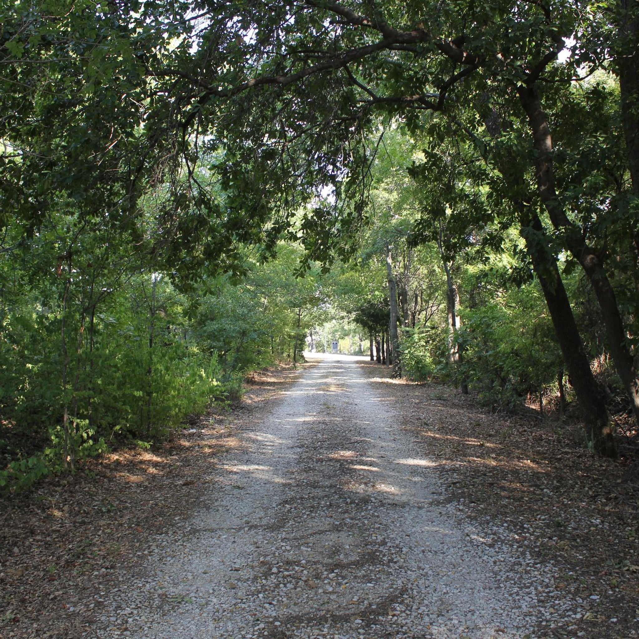
Tips from the Community


Caddo Trail is a 1.1-mile paved trail that traces along Stewart Creek.
0
0

This Park has something for everyone in the family. There is a paved multi-use loop trail the runs about a mile around the park and there are amenities here such as restrooms, picnic tables and a pavilion,
0
0

Wichita Forest Park in Highland Village, Texas, offers a tranquil 1-mile loop trail through 25 acres of serene woodland. The trail meanders through the Eastern Cross Timbers region, showcasing native post oak trees and diverse wildlife. Open year-round, it's a peaceful escape into nature.
0
0

This scenic paved path runs through a greenbelt along White Rock Creek and is a popular spot for hiking and cycling away from road traffic. The trail connects to the Preston Ridge Trail and Bluebonnet Trail, making it an ideal route for a loop ride to immerse yourself in nature in the heart of the city.
0
0

Belz Road Bridge is a historic truss steel bridge. It was built in the early 1900s and was originally used by horse-drawn carriages transporting wheat and other crops.
0
0
Nice small pond in Wilkerson Park. There is a picnic table around the banks of the pond, so it is a great place for a break during your hike.
1
0
Lewisville Lake Park is a large park along the banks of Lewisville Lake. The park has boat launches, a long multiuse trail, a playground and picnic areas.
1
0
Frequently Asked Questions
How many road cycling routes are available in Lewisville?
Lewisville offers a wide selection of road cycling routes, with over 90 options available on komoot. These routes cater to various preferences, from easy rides to more moderate distances, ensuring there's something for every road cyclist.
Are there easy road cycling routes suitable for beginners or families in Lewisville?
Yes, Lewisville has numerous easy and beginner-friendly road cycling routes. Approximately 33 routes are classified as easy. The Lewisville Lake Bridge – A-train Rail Trail loop from Hebron is a great option, featuring smooth paved sections and lake views, ideal for a relaxed ride.
What are some of the longer road cycling routes in the Lewisville area?
For those seeking longer rides, Lewisville offers several moderate routes. The Yates Corner Grocery – Horseshoe Trail loop from Hebron is a substantial option, covering nearly 78 kilometers. Another good choice is the Rheudasil Park Pond loop from Flower Mound High School, which is over 54 kilometers long.
What kind of scenic views can I expect on road cycling routes around Lewisville?
Many road cycling routes in Lewisville offer picturesque views, especially around Lewisville Lake. The Lewisville Lake Bridge – A-train Rail Trail loop from Hebron includes sections along the Lewisville Lake Toll Bridge, providing expansive lake vistas. You'll also find routes that traverse urban green spaces and parks, showcasing the region's natural beauty.
Are there any loop trails for road cycling in Lewisville?
Yes, many road cycling routes in Lewisville are designed as loops, offering convenient starting and ending points. Examples include the Legacy Trail loop from Lebanon Trail High School and the Rheudasil Park Pond loop from Flower Mound High School, allowing you to return to your starting location without retracing your path.
What attractions or landmarks can I see along Lewisville's road cycling routes?
Lewisville's road cycling routes can take you past several interesting attractions. You might encounter the DFW Founders Plaza, offering a unique viewpoint. The routes also provide access to various trails like the Campion Trail and the Grapevine Lake Trail, which are popular for outdoor activities.
What do other road cyclists enjoy most about cycling in Lewisville?
The road cycling experience in Lewisville is highly regarded by the komoot community, with an average rating of 4.9 stars from over 20 reviews. Cyclists often praise the extensive network of paved trails, the scenic views of Lewisville Lake, and the well-maintained infrastructure that connects urban parks and natural areas.
What is the best season for road cycling in Lewisville?
Lewisville offers good road cycling conditions for much of the year. While specific winter conditions can vary, the region's climate generally allows for comfortable riding outside of the hottest summer months. Spring and fall often provide ideal temperatures for exploring the trails and lake views.
Are there any specific trails or features that stand out for road cyclists in Lewisville?
Absolutely. The Lewisville Lake Toll Bridge features a dedicated bike and walking lane, offering unique lake views. The DCTA A Train Trail is another highlight, providing a 19.3-mile paved path with limited street crossings, making it excellent for uninterrupted road cycling. Additionally, the Shoreline Trail offers a 3.5-mile concrete and granite path along Lewisville Lake.
Where can I find parking for road cycling trails in Lewisville?
Lewisville's commitment to cycling infrastructure includes accessible parking near many trailheads and parks. For instance, routes like the Bear Creek Park – DFW Founders Plaza loop mention starting points with parking, such as the Nationstar Mortgage Convergence Parking. Many city parks also offer parking facilities for trail access.
Does Lewisville have a commitment to improving cycling infrastructure?
Yes, Lewisville is actively enhancing its bike-friendly infrastructure. The city has a 'Complete Streets' policy and ongoing projects like the Southwest Parkway Complete Streets Project and East College Street Improvements, which include plans for new bike lanes and improved street paving. There are also future plans for trail extensions, such as the Centennial Creek Hike and Bike Trail Extension.
Most popular attractions around Lewisville

Get inspired with the komoot mobile app


Explore more
Browse the best Road cycling routes in other regions.
