The best road cycling routes around Sunnyvale
5.0
(6)
123
riders
3
rides
Road cycling around Sunnyvale offers a diverse landscape for cyclists, ranging from flat, scenic bay-side routes to paths with moderate elevation gains. The area features an extensive network of creek trails and greenbelts, providing interconnected routes for various skill levels. Cyclists can explore routes along the San Francisco Bay Trail or winding paths through parks and natural landscapes. The region is characterized by its mix of urban green spaces, waterways, and distant views of surrounding hills.
Best road cycling routes…
Last updated: June 27, 2026
28
riders
Easy road ride. Great for any fitness level. Mostly well-paved surfaces and easy to ride.
24
riders
24.6km
01:13
80m
80m
Easy road ride. Great for any fitness level. Mostly well-paved surfaces and easy to ride.

Sign up for free
7
riders
48.2km
02:09
240m
240m
Moderate road ride. Good fitness required. Mostly well-paved surfaces and easy to ride.
Our route recommendations are based on thousands of hikes, rides, and runs completed by other people on komoot.
Start today with a free account
Your next adventure awaits.
Login or Signup
Popular around Sunnyvale
Tips from the Community

White Rock Lake is a 1,254-acre reservoir formed by the damming of White Rock Creek. The creek flows into the lake and exits through a spillway before joining the Trinity River. The lake, with a maximum depth of 18 feet, is a popular spot for fishing, offering largemouth bass, channel catfish, and white crappie. Cyclists can circumnavigate the whole trail on paved pathways.
0
0

White Rock Lake is a large park that encompasses 1,015 acres and is situated approximately five miles northeast of downtown Dallas. As one of the most frequented parks in the Dallas Park system, it hosts numerous special events, and is an excellent place to experience natural areas and wildlife within an urban setting. Amenities include a 9.33-mile hike and bike trail, rental facilities (at Winfrey Point and Big Thicket), the White Rock Lake Museum, Bath House Cultural Center, Dallas Arboretum, Audubon Society bird watching area, wetland, dog park, picnic areas, pavilions available for rent, piers, boat ramps, and a kayak concession. The park is open daily from 6 a.m. to 11 p.m.
1
0

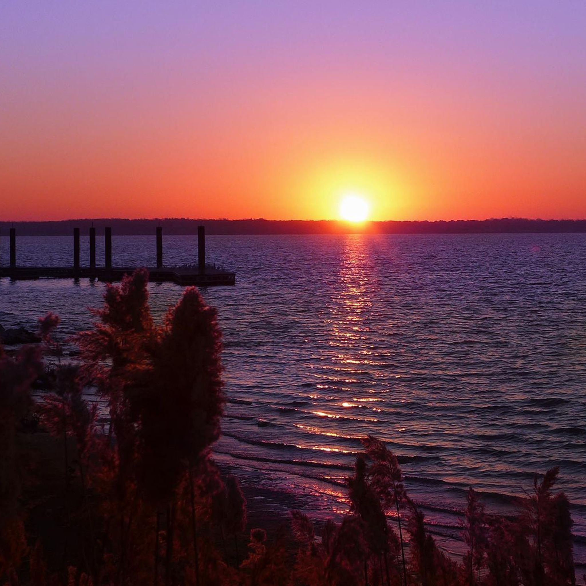
Nice pier out to White Rock Lake. It is a wonderful place to sit and relax.
0
0

This spot offers a cool view of the stairsteps making up the lower spillway. The water funnels down in the lower section of White Rock Creek from here.
0
0

White Rock Lake is a serene oasis spanning over 1,000 acres, located just a short 5-mile drive from downtown Dallas. As one of the most popular parks in the city, it hosts a range of special events and runs throughout the year. A nice 9.33-mile multiuse path runs along the shoreline, perfect for a nice run in this beautiful park setting.
0
0

From this viewing area, you can see the expanse of White Rock Creek and the concrete spillway below.
0
0

A 1,015-acre urban oasis lies 5 miles (ca. 8 km) northeast of downtown Dallas. Among Dallas Park's busiest, it offers a prime urban escape with abundant natural areas and wildlife.
0
0

White Rock Creek Trail starts at Harry Moss Park and goes down all the way to White Rock Lake, where it connects to the trail of the same name. As the name indicates, the trail follows White Rock Creek, avoiding traffic lights or any other disturbance.
0
0
Frequently Asked Questions
What types of road cycling routes can I find in Sunnyvale?
Sunnyvale offers a diverse range of road cycling experiences. You'll find everything from flat, scenic bay-side routes along the San Francisco Bay Trail to paths with moderate elevation gains through parks and natural landscapes. The area is characterized by an extensive network of creek trails and greenbelts, providing interconnected routes suitable for various skill levels.
Are there any easy road cycling routes for beginners or families in Sunnyvale?
Yes, Sunnyvale has several options for easier rides. The San Francisco Bay Trail offers flat, paved, and traffic-free sections perfect for a relaxed outing. Additionally, routes like the White Rock Lake Dam – White Rock Lake Spillway loop are considered easy, providing a relaxed ride with scenic views along waterways. The Foothill Expressway and Junipero Serra Loop is another easy 30.5-mile ride ideal for a quick tour of the Bay Area.
Where can I find routes with significant elevation gain for a challenging road cycling experience?
For those seeking a challenge, Sunnyvale and its surrounding areas offer routes with significant elevation gains. The Stevens Canyon and Page Mill Loop, for instance, is a difficult 42-mile journey with nearly 4,000 feet of elevation gain and stunning Silicon Valley views. You can also find routes leading to major climbs like Kings Mountain Rd, Old La Honda, Page Mill Rd, and Highway 9 in Saratoga.
Are there any scenic loop routes for road cycling in Sunnyvale?
Absolutely. Sunnyvale features several scenic loops. The Stevens Canyon and Mt Eden Loop offers picturesque views of Stevens Creek Reservoir, vineyards, and valley vistas over approximately 29.1 miles. Another option is the Harry & Moss Park loop, which provides a balanced ride through local park areas.
What natural attractions or landmarks can I see while road cycling in Sunnyvale?
Road cycling in Sunnyvale allows you to explore various natural attractions. You can ride along the San Francisco Bay Trail with views of salt marshes and wetlands, or through areas near Stevens Creek Reservoir. Many routes also offer picturesque views of local vineyards and the broader Silicon Valley landscape. Baylands Park is a notable area for birdwatching and wildlife observation, accessible from cycling paths.
Are there any creek trails suitable for road cycling in Sunnyvale?
Yes, Sunnyvale boasts a network of creek trails. The Stevens Creek Trail is a picturesque path winding through serene parks and natural landscapes. Other notable creek trails include the Calabazas Creek Trail, San Tomas Aquino Creek Trail, and Guadalupe River Trail, all contributing to an interconnected system of bike paths.
What is the best time of year for road biking in Sunnyvale?
Sunnyvale generally offers pleasant cycling conditions year-round due to its mild climate. However, spring and fall often provide the most comfortable temperatures for longer rides. Summer can be warm, especially inland, while winter typically brings cooler, wetter weather, though many days remain suitable for cycling.
Can I access road cycling routes in Sunnyvale using public transport?
While specific public transport access points for every route vary, Sunnyvale's urban green spaces and interconnected trail networks often have proximity to public transit options. For example, the Lake Ray Hubbard loop starts from the Lake Ray Hubbard Transit Center, indicating some routes are designed with public transport access in mind.
Are there any long-distance road cycling routes near Sunnyvale?
For longer distances, Sunnyvale provides access to routes that can be extended. The San Francisco Bay Trail, for instance, is part of a larger network that will eventually allow continuous travel around the San Francisco Bay. Routes like the Stevens Canyon and Page Mill Loop offer a substantial 42-mile journey, and the Lake Ray Hubbard loop covers nearly 30 miles, providing good options for extended rides.
What do other road cyclists enjoy most about road cycling in Sunnyvale?
Road cyclists frequently praise Sunnyvale for its diverse terrain, offering everything from flat, traffic-free bay-side paths to challenging climbs with panoramic views. The extensive network of creek trails and greenbelts, along with access to the San Francisco Bay Trail, are often highlighted for providing varied and scenic riding experiences.
Are there any routes that offer views of vineyards or the Silicon Valley landscape?
Yes, many road cycling routes in and around Sunnyvale traverse areas that provide picturesque views of local vineyards and the broader Silicon Valley landscape. The Stevens Canyon and Mt Eden Loop is known for its views of vineyards and valley vistas, and the Stevens Canyon and Page Mill Loop also offers stunning Silicon Valley views from higher elevations.
Most popular routes around Sunnyvale

Get inspired with the komoot mobile app


Explore more
Browse the best Road cycling routes in other regions.
