The best walks and hikes around Colleyville
4.2
(6)
175
hikers
31
hikes
If you've ever tried to plan hiking around Colleyville, you know how quickly the options can feel overwhelming. It’s tough to tell which routes are genuinely worth your time and which are just filler. That's where we come in: komoot's community has mapped, walked, and reviewed these trails, so we’ve done the legwork to bring you a curated shortlist of the best.
Hiking in Colleyville offers a surprising mix of landscapes, from serene wetlands and ponds to lush woodlands and open fields. You'll find everything from easy, flat multi-use pathways perfect for a relaxed stroll to more challenging, longer excursions. The area truly shines with its diverse ecosystems, making it a great spot for wildlife viewing year-round.
For a gentle introduction to the area's natural beauty, we'd start with the Colleyville Nature Center Trail, an easy 1.4-mile (2.2 km) loop that’s perfect for families and nature lovers. If you're looking for a longer, more challenging adventure, the Cotton Belt Trail offers a substantial 18.8 miles (30.2 km) of multi-use pathway, ideal for those wanting to cover some serious ground. With over 100 hikers already exploring Colleyville with komoot, you're in good company.
Last updated: May 10, 2026
6.52km
01:39
20m
10m
The Little Bear Creek Trail offers a delightful escape into nature, winding through a lush creek corridor that provides ample shade from large trees and native vegetation. While starting near residential areas, the route quickly becomes a scenic journey, perfect for a relaxed walk. You'll find the terrain easy underfoot, making it a comfortable experience for hikers of all ages, with the Chase Oaks Activity Node offering a fun mid-trail break with a playground and picnic tables.
Planning your visit to this family-friendly trail is straightforward. You can find convenient parking at the northern end off Willis Lane, making access simple. The trail is generally easy and accessible, so you don't need special permits or to worry about complex logistics. It's a great option for a casual outing any time of day, though mornings are particularly pleasant, and it's suitable for hiking year-round.
This trail stands out as a popular community amenity, providing a valuable green space within the urban landscape of Keller, Texas. Its low elevation gain of 58 feet (18 metres) over 4.1 miles (6.5 km) makes it an ideal choice for beginners or those seeking a gentle stroll rather than a strenuous workout. With an estimated duration of 1 hour and 39 minutes, it's a perfect way to enjoy some fresh air and natural beauty without committing to a long expedition, and it's known for being a dog-friendly spot too.
2.20km
00:33
0m
0m
The Colleyville Nature Center Trail offers a delightful and easy escape into a surprisingly diverse natural setting. As you walk this route, you'll journey through shaded woodlands, open meadows, and tranquil wetlands, often on a mix of paved, dirt, and crushed granite paths. The highlight for many is the series of nine picturesque ponds, which are havens for ducks, turtles, and other waterfowl, providing fantastic opportunities for wildlife spotting.
Planning your visit to the Colleyville Nature Center is simple, as it's designed for accessibility and convenience. You'll find plenty of Colleyville Nature Center parking available, along with restrooms and other amenities like a playground and fishing dock. This easy 1.4-mile (2.2 km) hiking route, with only 6 feet (2 metres) of elevation gain, takes about 33 minutes, making it perfect for a quick outing. It's an excellent choice for family friendly hikes, and many sections are stroller-friendly.
Beyond its easy terrain, the Colleyville Nature Center is a true nature lover's paradise, boasting rich biodiversity within its 46 acres. Birdwatchers will appreciate the chance to see herons, hawks, and woodpeckers, while other visitors might encounter reptiles, amphibians, or even baby raccoons. The center's commitment to providing a serene atmosphere and educational opportunities makes it a standout destination in the region for connecting with nature.

30.2km
07:44
110m
120m
The Cotton Belt Trail in North Texas offers a unique long-distance hiking experience, tracing a former railway line through the Dallas-Fort Worth Metroplex. You'll traverse a varied landscape, from suburban areas and industrial zones to pleasant green spaces like Dick Faram Park, often paralleling an active rail corridor. While mostly paved and flat, some sections, particularly between Grapevine and North Richland Hills, present a moderate incline, making this 18.8-mile (30.2 km) route a difficult, yet rewarding, endurance challenge that takes around 7 hours and 43 minutes to complete with 371 feet (113 metres) of elevation gain.
Planning your visit is straightforward, with numerous parking options available at various trailheads along the route. It's a multi-use path popular with cyclists and runners, so expect company. Remember to stay on the designated trail and maintain a safe distance from the active railroad tracks running alongside it. This trail is accessible year-round, but for a hike of this length, cooler weather might be more enjoyable, and always carry plenty of water.
This extensive Cotton Belt Rail Trail Fort Worth hiking route is part of the larger Veloweb network, connecting various municipalities and offering a glimpse into the region's development. It's an excellent choice if you're looking for a substantial urban-to-suburban trek rather than a secluded wilderness experience. The trail's length and relatively gentle grades make it ideal for building endurance, and you might even spot local wildlife like turtles and birds in its greener sections.
5.86km
01:29
10m
20m
The John Barfield Trail offers a refreshing escape into nature, even though it's nestled within North Richland Hills. You'll wander along a mostly paved path that meanders beside flowing creeks, through native ecosystems, and past seasonal wildflowers, particularly vibrant along the Little Bear Creek corridor. Despite its urban setting, the trail often feels secluded, providing a peaceful atmosphere for a leisurely walk or bike ride.
Planning your visit is straightforward, as the trail is easily accessible and connects various local parks like J.B. Sandlin Park and Founders Park, where you can typically find parking. This family-friendly route is perfect for an easy outing, taking about 1 hour and 29 minutes to cover its 3.6 miles (5.9 km) with a gentle 36 feet (11 metres) of elevation gain. For added peace of mind, 911 signs are posted every quarter-mile on off-road sections, providing location codes for emergency services.
This trail is a vital link in the local greenway system, connecting to the Cotton Belt Trail and the City of Keller Trail System, including the Fall Creek Trail. It's named after John Barfield, a local developer who dedicated land for city parks, underscoring its community integration. The paved surface and minimal elevation make it an ideal choice for beginner hikers, dog walkers, and anyone looking for a pleasant, accessible outdoor experience.
7
hikers
3.44km
00:53
20m
20m
The Cross Timbers Trail offers a delightful, easy escape into nature, perfect for a quick refresh. This 2.1-mile (3.4 km) hiking route winds through a pleasant park setting, providing a gentle experience with only 61 feet (19 metres) of elevation gain. You can expect a relaxing walk that takes around 53 minutes, making it an ideal choice for a casual outing.
Starting conveniently within Cross Timbers Park, the trail is easily accessible with parking typically available on-site. It's a great option for a spontaneous walk, whether you're looking to stretch your legs in the morning or enjoy a peaceful afternoon. Remember to carry water, especially if you're visiting during the warmer parts of the day.
This trail is a fantastic introduction to getting outdoors, particularly for beginners or families with young children. It provides a taste of the local natural environment without demanding significant physical effort. Its accessibility and straightforward nature make it a reliable spot for a consistent, enjoyable walk in North Richland Hills.
Get access to more routes and recommendations from other explorers.
Already have an account?
Our route recommendations are based on thousands of hikes, rides, and runs completed by other people on komoot.
Start today with a free account
Your next adventure awaits.


Tips from the Community

This 40-acre park provides numerous tables and picnic benches, offering a great place for a relaxing break. The park is adorned with several signs that help identify the various plant life and trees, adding to its charm. Additionally, you'll find many exercise stations scattered throughout for an extra workout.
0
0
Named after Bob Eden, who served on the Euless City Council from 1981 to 1991, this 47-acre park is abundant with tables and park benches where you can take a break, stretch, and relax. Additionally, there are several exercise stations available to add variety to your run and achieve a full-body workout.
0
0
Covering 100 acres, this park encompasses baseball fields, playgrounds, and picnic shelters, complemented by both a paved and an unpaved trail that forms a loop around Cross Timber Park and Adventure World Park. In the past, it served as the home of the Tarrant County Blue Thunder, an independent professional baseball team.
0
0
Frequently Asked Questions
How many hiking trails are available around Colleyville?
There are over 20 hiking routes available around Colleyville, offering a variety of experiences for outdoor enthusiasts. Most of these trails are considered easy, making them accessible to a wide range of hikers.
What is the general difficulty level of hiking trails in Colleyville?
The majority of hiking trails in Colleyville are classified as easy, with 16 out of 20 routes falling into this category. There are also 4 moderate trails for those seeking a slightly more challenging experience. The region generally features relatively flat terrain, with multi-use pathways and gentle elevation changes.
Are there any family-friendly hiking options in Colleyville?
Yes, Colleyville offers several family-friendly hiking options. The Cross Timbers Park loop is an easy 2.1-mile trail perfect for a pleasant walk through parkland. The Cotton Belt Trail, a multi-use pathway following a former railway line, is also very suitable for families due to its flat and easy nature, connecting to parks and rest areas.
Can I bring my dog on the hiking trails in Colleyville?
Many parks and trails in Colleyville are dog-friendly, provided dogs are kept on a leash. The Cotton Belt Trail is a popular choice for dog walkers. For specific rules regarding pets, especially at places like the Colleyville Nature Center, it's always best to check local signage or park regulations.
What kind of natural features or landmarks can I see while hiking in Colleyville?
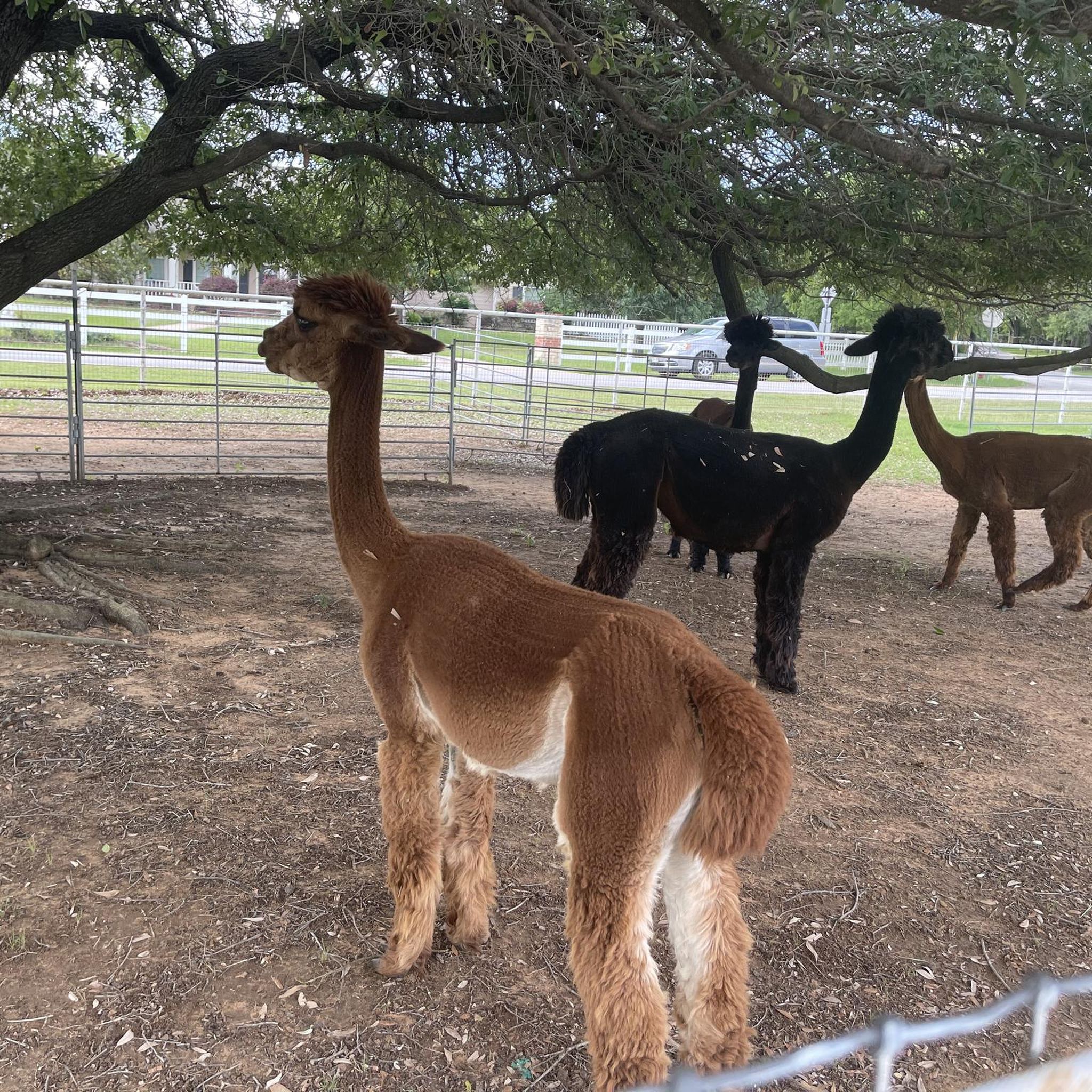
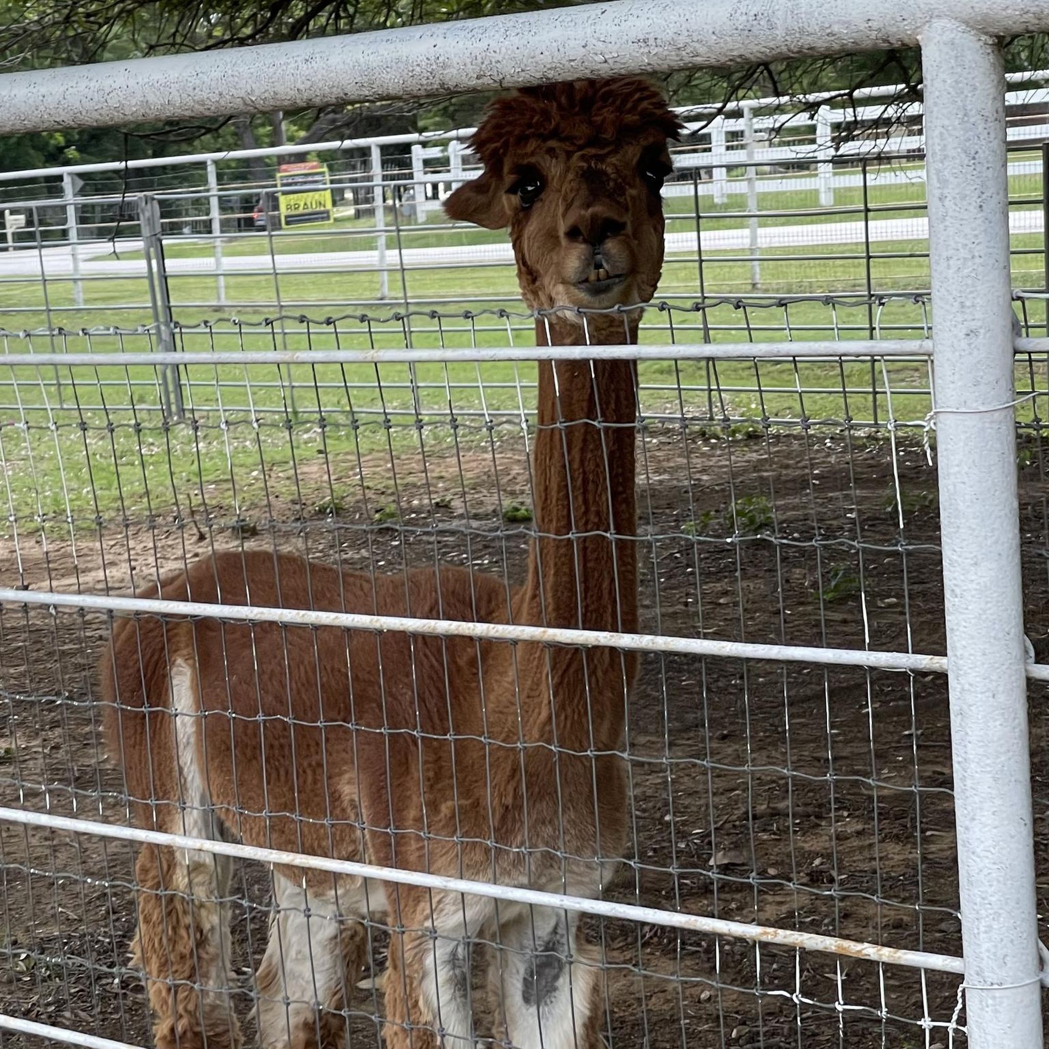
Colleyville's trails offer diverse natural features. The Colleyville Nature Center features nine ponds, wetlands, and woodlands, ideal for wildlife observation. You can also find mature forests with cottonwood, pecan, and post oak trees. Trails around Grapevine Lake Trail and the North Shore Trail at Grapevine Lake provide scenic lake views. The Alpacas at CBT Trail is a unique highlight along the Cotton Belt Trail.
Are there any circular hiking routes in the Colleyville area?
Yes, there are several circular hiking routes available. The Cross Timbers Park loop is a popular 2.1-mile option. Another is the Parr Park & Wall-Farrar Park loop, which is 3.4 miles long and takes you through parkland and green spaces.
What is the best time of year to hike in Colleyville?
The best time to hike in Colleyville is typically during the spring and fall months when temperatures are milder. Spring brings blooming wildflowers, while fall offers pleasant weather for outdoor activities. Summers can be very hot and humid, so early mornings or late evenings are recommended if hiking during this season.
Is parking available at Colleyville trailheads?
Yes, parking is generally available at the major parks and trailheads throughout Colleyville. Locations like the Colleyville Nature Center, McPherson Park, and Colleyville City Park offer designated parking areas for visitors accessing their trail systems.
Are there any trails with significant elevation gain for a more challenging hike?
While most trails in Colleyville are relatively flat, the region's proximity to Lake Grapevine offers more varied terrain. The Northshore Trail, for instance, is known for its more rugged sections and can provide a more challenging experience with some elevation changes compared to the flatter city park trails.
What do other hikers enjoy most about hiking in Colleyville?
The area is highly rated by the komoot community, with an average score of 4.0 stars. Reviewers often praise the tranquil escapes, the diverse ecosystems found in places like the Colleyville Nature Center, and the well-maintained multi-use pathways that cater to various activity levels.
Are there any trails that connect to other cities or larger networks?
Yes, the Cotton Belt Trail is a significant multi-use pathway that runs through Colleyville and connects to neighboring cities like Grapevine and Hurst. This trail follows a former railway line, offering an extended route for those looking to explore beyond Colleyville's immediate borders.
Are permits required for hiking in Colleyville parks?
Generally, permits are not required for day-use hiking in Colleyville's city parks and nature centers. However, for specific activities or larger group events, it's always advisable to check with the individual park's administration for any special requirements.
Most popular attractions around Colleyville

Get inspired with the komoot mobile app


Explore more
Browse the best Hikes in other regions.
