The best road cycling routes around Signal Mountain
4.9
(10)
562
riders
43
rides
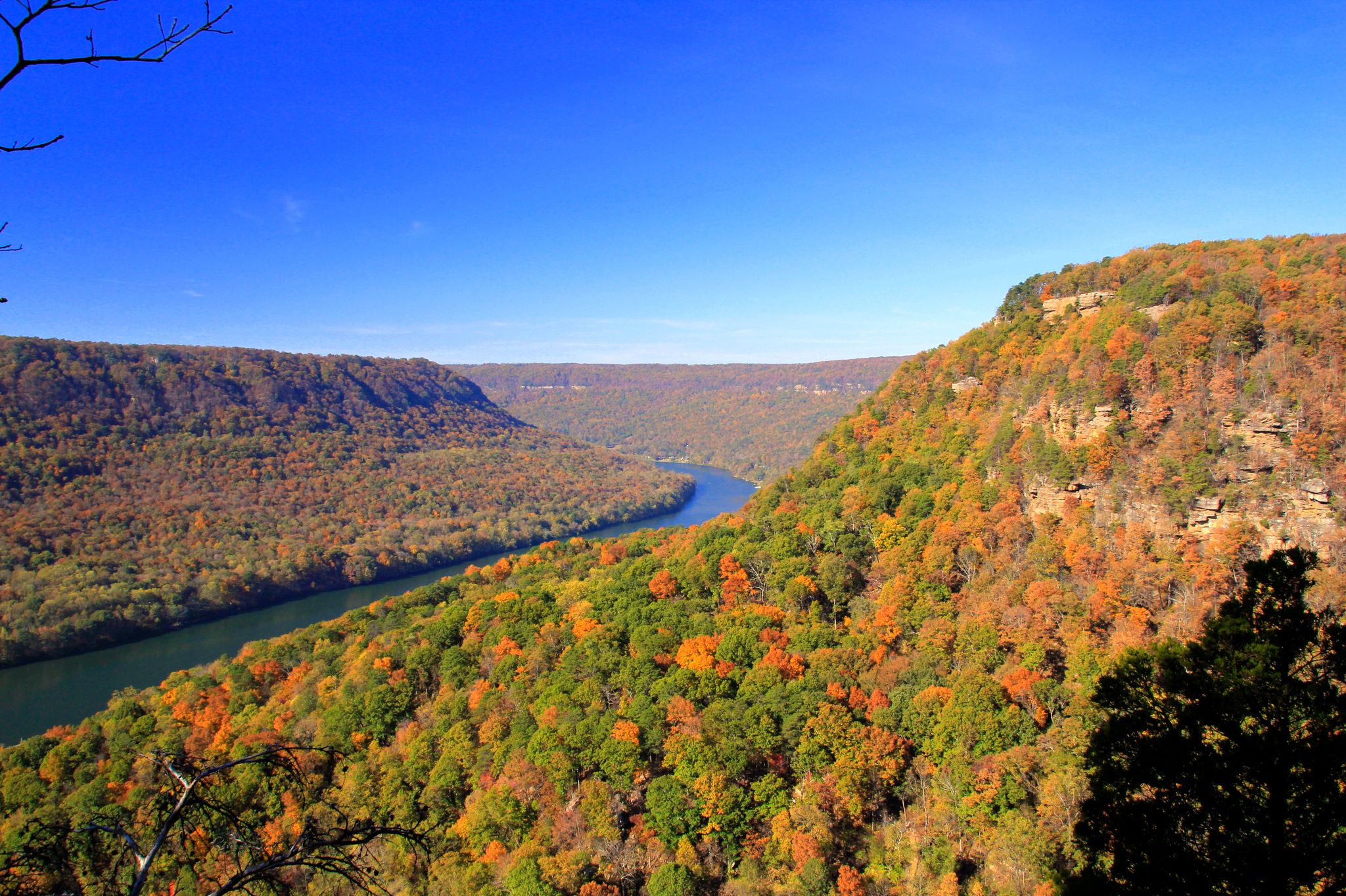
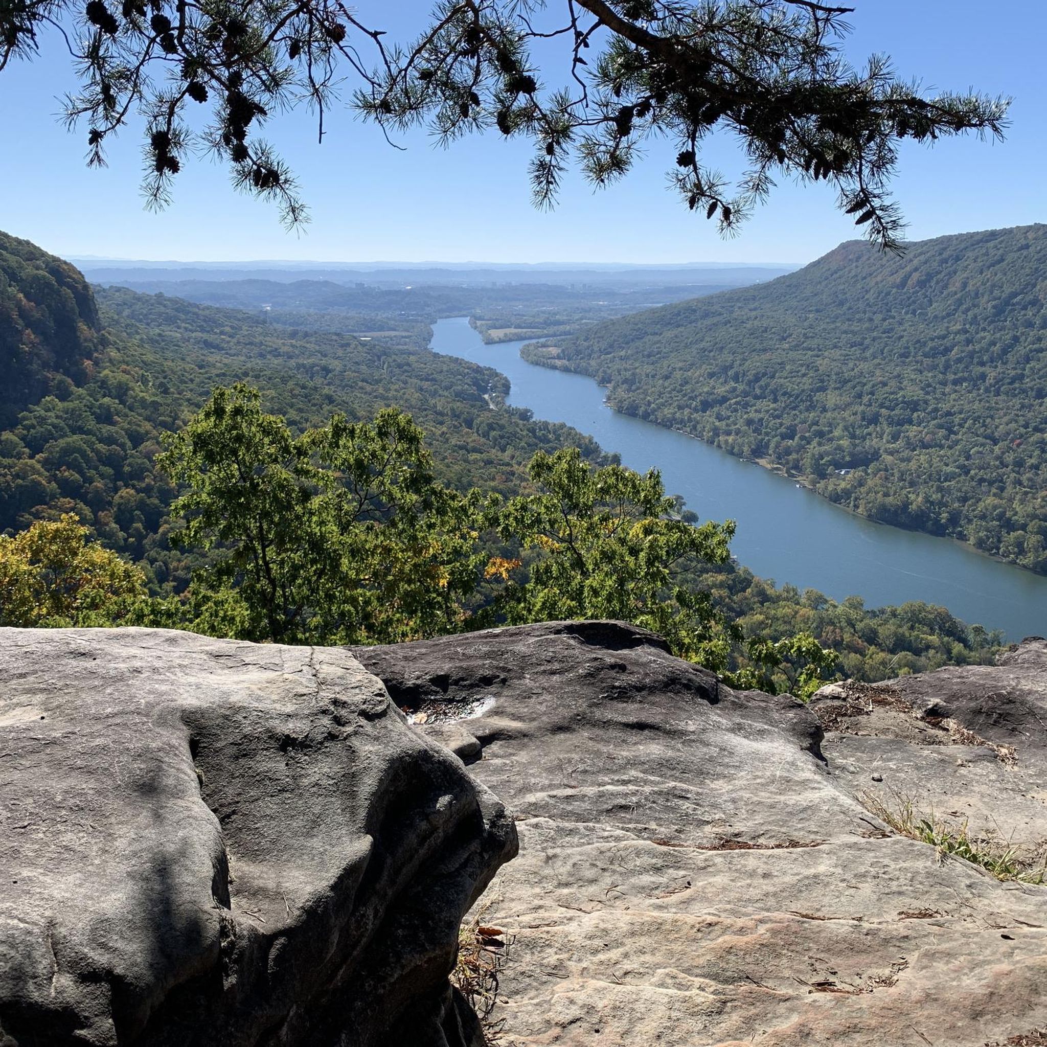
Road cycling around Signal Mountain Tennessee is characterized by significant elevation changes and panoramic views of the Tennessee River Gorge. The region features winding wooded roads, offering a mix of challenging climbs and undulating roadways. Cyclists can experience routes that transition from river valleys to forested slopes, providing diverse terrain. This area is known for its natural features, including overlooks and proximity to the Tennessee River.
Best road cycling routes around Signal Mountain
- The most popular road cycling route is Hicks Gap Natural Area from Suck Creek, a 25.5 miles (41.0 km) trail that takes 2 hours 25 minutes to complete. This route offers a sustained climb from the river valley to forested slopes.
- Another top favourite among local road cyclists is Prentice Cooper State Forest loop from Chattanooga, a difficult 53.7 miles (86.5 km) path. It features significant elevation changes through a state forest, providing a challenging ride with varied scenery.
- Local road cyclists also love the Walnut Street Bridge – Tennessee Riverwalk loop from Northside Presbyterian Church, a 24.9 miles (40.2 km) trail leading through urban and riverside areas, often completed in about 2 hours 19 minutes.
- Road cycling around Signal Mountain is defined by significant elevation changes, panoramic river views, and wooded roadways. The network offers options for various ability levels, from moderate rides to more difficult climbs.
- The routes in Signal Mountain are highly rated by the komoot community with an average score of 4.8 stars from over 9 reviews. More than 500 road cyclists have used komoot to explore Signal Mountain's varied terrain.
Last updated: September 30, 2026
9
riders
86.5km
04:05
1,000m
1,000m
Hard road ride. Very good fitness required. Some segments of this route may be unpaved and difficult to ride.
12
riders
41.0km
02:25
530m
530m
Moderate road ride. Good fitness required. Mostly well-paved surfaces and easy to ride.

22
riders
52.0km
02:40
520m
520m
Moderate road ride. Good fitness required. Mostly well-paved surfaces and easy to ride.
14
riders
43.4km
02:24
580m
580m
Moderate road ride. Good fitness required. Mostly well-paved surfaces and easy to ride.
8
riders
40.1km
02:03
550m
550m
Moderate road ride. Good fitness required. Mostly well-paved surfaces and easy to ride.
Get access to more routes and recommendations from other explorers.
Already have an account?
Our route recommendations are based on thousands of hikes, rides, and runs completed by other people on komoot.
Start today with a free account
Your next adventure awaits.
Other adventures around Signal Mountain

Tips from the Community

Connor Toll House is a small but meaningful historical stop tucked along Anderson Pike. Built in the early 1900s, the house played a role as a strategic point for the Union Army and was later used as part of the development of a transportation network across Walden’s Ridge. It also served as a toll gate for travelers making their way up the mountain. Today, the house is not open to visitors, but you can still see the old wooden building contrasting with the modern homes in the neighborhood. It’s worth passing by for a closer look from the outside.
0
0

Renaissance Park is a reclaimed urban green space on Chattanooga’s North Shore, built on what was once a former industrial floodplain. Today, it’s a mix of grassy hills, wetlands, and walking trails with great views of the Tennessee River and downtown skyline. The park is popular for its wide-open feel—perfect for picnics, flying kites, or just stretching your legs. Interpretive signs throughout highlight the area’s ecology and history, including its transformation from brownfield to public park. You can connect easily to the adjacent Stringers Ridge or Coolidge Park, making it a nice stop on a longer ride or walk.
0
0

Prentice Cooper Wildlife Management Area sprawls across 24,686 acres of scenic Tennessee wilderness. Offering diverse ecosystems and outdoor activities like cycling, hiking, fishing, and birdwatching, it's a haven for lovers of nature and adventure.
0
0
Hicks Gap Natural Area is a lush mountainous area nestled in the Appalachian foothills of the Cumberland Plateau. It provides breathtaking views and a peaceful environment for outdoor enthusiasts in the Chattanooga area.
0
0

Prentice Cooper State Forest plays host to miles of singletrack and double-track trails, but not of these trails are open to bikes. That being said, the entirety of the property is filled with smooth (and some not-so-smooth) dirt and gravel forest roads. A lot of people bike these roads on a gravel bike, but if you are looking for a smoother ride (and aren't opposed to riding something a little heavier), the roads within Prentice Cooper State Forest are perfect for a hard tail mountain bike.
0
0
With boardwalks, bridges, and endless views of the Tennessee River, Renaissance Park is a popular spot in Chattanooga. The paved greenbelt connects to the park and offers miles of running if the paved paths within the park do not offer enough mileage for you.
0
0

Walnut Street Bridge is one of the world's longest pedestrian bridges. It connects Chattanooga to North Chattanooga. There are benches along the bridge if you want to take a break and enjoy the views of the Tennessee River.
0
0
Frequently Asked Questions
How many road cycling routes are available around Signal Mountain?
There are over 50 road cycling routes around Signal Mountain, offering a diverse range of experiences. These routes are highly rated by the komoot community, with an average score of 4.8 stars.
What kind of terrain can I expect on road cycling routes around Signal Mountain?
Road cycling around Signal Mountain is characterized by significant elevation changes and panoramic views. You'll find winding wooded roads, challenging climbs, and undulating roadways. Routes often transition from river valleys to forested slopes, providing varied and engaging terrain.
Are there any challenging road cycling routes for experienced riders?
Yes, Signal Mountain offers routes with sustained climbs and significant elevation gains. For instance, the Prentice Cooper State Forest loop from Chattanooga is a difficult 53.7-mile path with nearly 1,000 meters of elevation change, providing a substantial challenge.
Are there any moderate road cycling routes suitable for intermediate riders?
Absolutely. Many routes cater to intermediate cyclists. The Hicks Gap Natural Area from Suck Creek is a popular moderate route, spanning 25.5 miles with a sustained climb from the river valley to forested slopes, offering an invigorating ride.
What scenic viewpoints can I access while road cycling around Signal Mountain?
Signal Mountain is renowned for its breathtaking panoramic views. Key overlooks like Signal Point and Edward's Point offer spectacular vantage points of the Tennessee River Gorge and the Chattanooga and Tennessee Valleys. You can also find scenic spots like Snooper’s Rock and the Cumberland Trail View Point along various routes.
Are there any family-friendly road cycling options around Signal Mountain?
While many routes involve significant elevation, some sections or shorter loops can be more family-friendly. The Walnut Street Bridge – Tennessee Riverwalk loop from Northside Presbyterian Church, for example, combines urban and riverside areas, offering a less strenuous experience in parts.
What natural attractions can I see near the road cycling routes?
The area is rich in natural features. You can explore places like Rainbow Lake Wilderness, known for its lush forests and small waterfalls, or discover Blowing Wind Falls. These natural monuments offer beautiful diversions near many cycling paths.
Are there any notable landmarks or points of interest along the routes?
Yes, you can encounter several interesting landmarks. The historic Signal Point offers a short walk to its scenic overlook. The Walnut Street Bridge is a prominent feature in Chattanooga, and the Hunter Museum of American Art is also nearby. These provide cultural and historical points of interest during your ride.
What is the best time of year to go road cycling in Signal Mountain?
Signal Mountain offers rewarding cycling experiences throughout much of the year. Spring and fall generally provide the most pleasant weather with moderate temperatures and vibrant foliage. Summer can be warm, but early morning rides are often enjoyable. Winter cycling is possible, but it's advisable to check weather conditions for potential ice or colder temperatures.
Where can I find parking for road cycling routes around Signal Mountain?
Parking is available at various trailheads and parks. Signal Point Park is a common starting point and provides access to restrooms and impressive views before your ride. For more detailed information on parking options, you might find resources on local tourism sites like Visit Chattanooga's Signal Mountain page.
Are there any road cycling routes that form a loop?
Yes, many routes around Signal Mountain are designed as loops. For example, the Montlake loop from Northside Presbyterian Church is a moderate 41.8-mile route that allows you to start and finish at the same point, offering a comprehensive tour of the area's landscapes.
What do other road cyclists enjoy most about cycling in Signal Mountain?
The komoot community highly rates road cycling in Signal Mountain, with an average score of 4.8 stars. Reviewers often praise the challenging climbs, the stunning panoramic views of the Tennessee River Gorge, and the diverse terrain that transitions from river valleys to forested slopes, making for a truly engaging ride.
Most popular attractions around Signal Mountain

Get inspired with the komoot mobile app


Explore more
Browse the best Road cycling routes in other regions.
