The best walks and hikes around Etschberg
4.5
(2686)
10,503
hikers
746
hikes
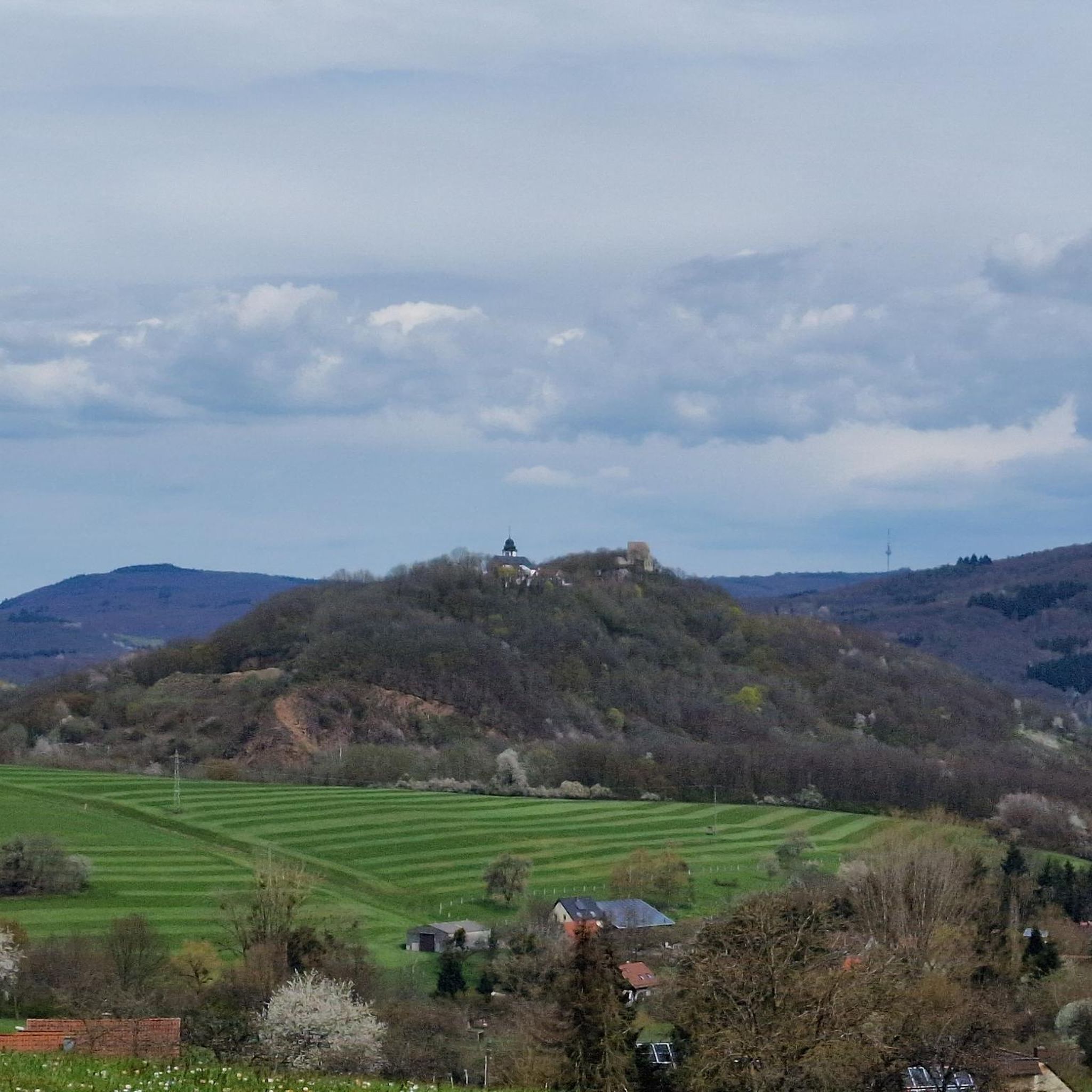
Hiking around Etschberg offers diverse outdoor experiences within the Kusel district of Rhineland-Palatinate, Germany. The region features rolling hills, expansive woodlands, and verdant meadows, with elevations ranging from 220 to 320 meters. Waterways like the Rödelsbach brook and Ohmbach Lake add to the varied terrain, providing an idyllic setting for exploration. The landscape includes the 352-meter-high Etschberg summit and the 402-meter-high Odersberg.
Best hiking trails around Etschberg
- The most popular hiking route is View of the Glan River – Stork…
Last updated: September 30, 2026
4.8
(15)
59
hikers
9.64km
02:42
190m
190m
Moderate hike. Good fitness required. Easily-accessible paths. Suitable for all skill levels.
4.4
(8)
33
hikers
Easy hike. Great for any fitness level. Easily-accessible paths. Suitable for all skill levels.

3.7
(6)
27
hikers
12.6km
03:31
250m
250m
Moderate hike. Good fitness required. Easily-accessible paths. Suitable for all skill levels.
4.6
(10)
27
hikers
11.0km
03:18
350m
350m
Moderate hike. Good fitness required. Easily-accessible paths. Suitable for all skill levels.
4.3
(6)
17
hikers
12.7km
03:48
400m
400m
Moderate hike. Good fitness required. Easily-accessible paths. Suitable for all skill levels.
Get access to more routes and recommendations from other explorers.
Already have an account?
Our route recommendations are based on thousands of hikes, rides, and runs completed by other people on komoot.
Start today with a free account
Your next adventure awaits.

Tips from the Community

Rest area with a sun lounger and two information boards. One for the Pfälzerwald-Verein and for the Potzberg hiking trail.
1
0
The old sessile oak, known as the „Dicke Eiche“ (Fat Oak), on the Potzberg, collapsed in early January 2018. potzberg.de potzberg.de Cause: The already dying tree presumably collapsed due to the storm „Burglind“ (called „Eleanor“ in other regions), after branches had previously broken off due to snow load. History: The tree was considered a natural monument and a testament to transience. Data: According to the Palatinate tree expert Horst Ohliger, the oak was approx. 16 m high in 1992 and had a trunk circumference of 3.33 m. Its age was estimated to be up to 300 years. Significance: It was a striking landmark, similar to the former Kalescheiche or the Hutbuchen of Föckelberg.
2
0
The Schützenbrunnen is a historic spring with a pond in the forest above Neunkirchen am Potzberg, created in 1894. The idyllic spot, redesigned in 1996 at approx. 430 m altitude, is a popular hiking destination with seating, surrounded by old trees, accessible via hiking trails.
2
0
The triangular boundary stone on the Potzberg, known as the "Dreieckstein", has marked the confluence of the municipal boundaries of Gimsbach, Theisbergstegen, and Rutsweiler since the original survey around 1840. It stands as a historical testament to former district boundaries and is a well-known excursion destination in the Palatinate. It served as a border point between the municipalities until the administrative reform in 1972 and also separated the districts of Kaiserslautern and Kusel.
2
0

The Catholic St. Remigius Church is a stop on the European "Star Trail," which marks medieval cultural monuments along the European Way of St. James (Palatinate, Saarland, Alsace, Lorraine) with stone scallop shells. At this church, the scallop shell is located to the right of the main entrance door; a corresponding (red) information panel can be found on the building wall to the right of this church door. Further information: www.sternenweg.net
1
0

This lovely rest area with a table offers a wonderful view of Theisbergstegen and the surrounding villages and fields. The church is also clearly visible from up here.
3
1
The Ottilienquelle spring was created in 1894 by Johann Baptist Moser and named in honor of his wife and daughter. It is located on an old Philippsgrube mine tunnel and is now a popular resting place. The current shelter dates from 1977.
3
0
The "Yellow Water" is the drainage tunnel of the Davidskrone mercury mine near Föckelberg, which was closed in 1860. It was founded in 1781 by Philipp Schildt and named after the carpenter David Kron. The yellow color of the water comes from the iron-rich ochre that is washed out of the rock.
3
0
Frequently Asked Questions
How many hiking trails are available around Etschberg?
Etschberg offers a wide variety of hiking experiences, with over 700 routes available. These range from easy strolls to more challenging treks, ensuring there's something for every fitness level.
Are there easy hiking options suitable for beginners or families in Etschberg?
Yes, Etschberg is very family-friendly, with over 360 easy routes. A great option for a gentle walk is the Duck pond – Hubertuseiche Natural Monument loop from Haschbach am Remigiusberg, which is 5.3 km long and features a modest elevation gain, perfect for a relaxed outing.
What kind of landscapes can I expect to see while hiking in Etschberg?
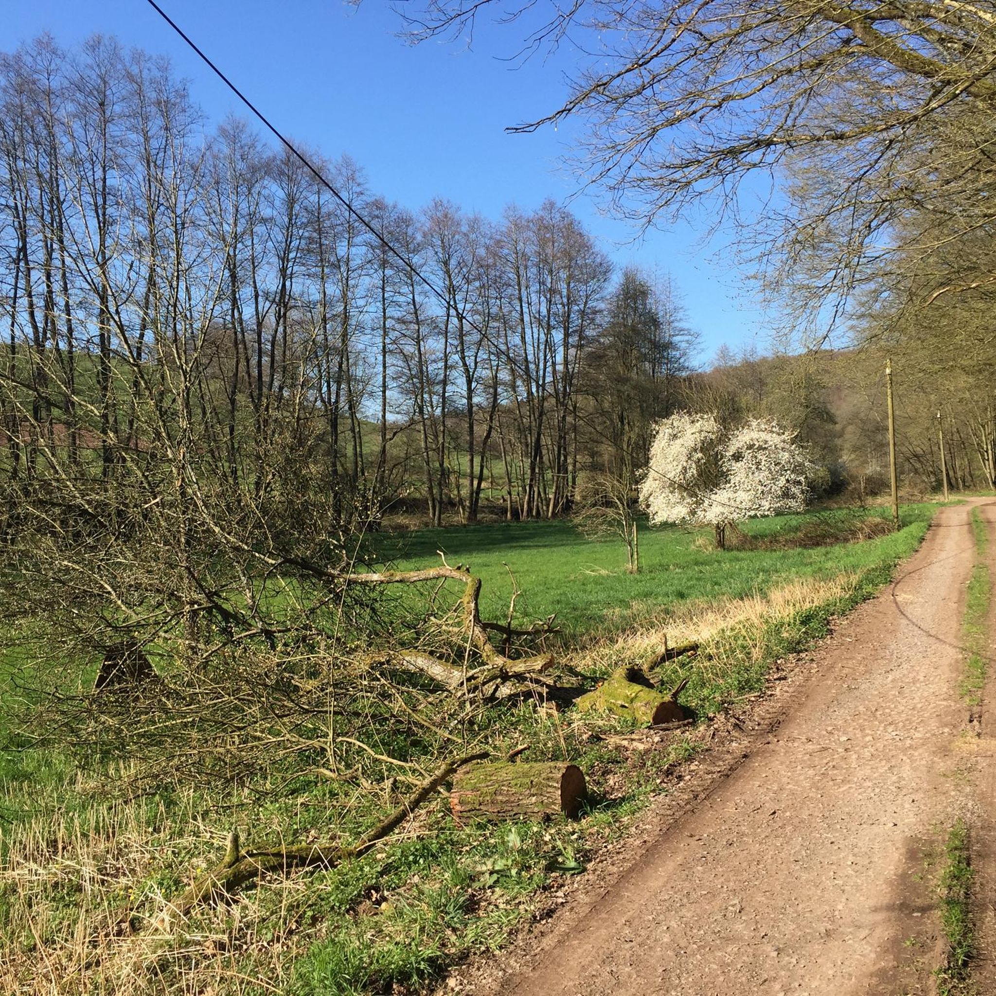
Hikers in Etschberg can expect picturesque landscapes characterized by rolling hills, expansive woodlands, and verdant meadows. The region also features waterways like the Rödelsbach brook and the beautiful Ohmbach Lake, adding to the varied terrain. You'll find elevations ranging from 220 to 320 meters within the municipal area, offering diverse views.
Are there any circular hiking routes in Etschberg?
Yes, many of the trails around Etschberg are designed as loops, offering convenient starting and ending points. For example, the View of the Glan River – Stork Nest loop from Haschbach am Remigiusberg is a popular moderate circular route that takes you through scenic areas.
Can I bring my dog on the hiking trails in Etschberg?
Most hiking trails in the Etschberg region are dog-friendly, allowing you to enjoy the natural beauty with your canine companion. It's always advisable to keep your dog on a leash, especially in nature reserves or areas with livestock, and to carry waste bags.
What are some notable natural attractions or landmarks to look out for?
The Etschberg area is rich in natural and historical points of interest. You can explore the scenic Ohmbach Lake, which offers pleasant walks along its shore. The historic Former Glantal Railway Route, including its over 150-year-old tunnel, is also a unique feature. Additionally, the majestic Lichtenberg Castle stands on a rock overlooking the village, providing impressive views.
Are there any more challenging hikes for experienced trekkers?
While Etschberg is known for its rolling hills, there are routes that offer a more strenuous experience. The region features 20 difficult trails. For a moderate challenge, consider the Yellow water source loop from Theisbergstegen, which covers nearly 13 km with significant elevation gain.
What is the best time of year to go hiking in Etschberg?
Etschberg is beautiful year-round, but spring and autumn are particularly pleasant for hiking. In spring, the meadows are lush and wildflowers bloom, while autumn offers vibrant foliage. Summer is also great, especially for forest walks, and winter can provide unique snowy landscapes, though some paths might be icy.
Where can I find parking for hiking trails in Etschberg?
Parking is generally available at trailheads and near popular attractions in and around Etschberg. Many villages, including Haschbach am Remigiusberg and Theisbergstegen, which serve as starting points for several routes, offer designated parking areas for hikers. It's always a good idea to check local signage.
What do other hikers say about their experience in Etschberg?
The komoot community highly rates hiking in Etschberg, with an average score of 4.6 stars from over 2,300 reviews. Hikers often praise the well-maintained trails, the diverse scenery of forests and meadows, and the peaceful atmosphere of the region.
Are there any opportunities for water-related activities like wild swimming near Etschberg?
While Etschberg features the Rödelsbach brook and is close to the Glan River, the most prominent water body for leisure is Ohmbach Lake. It's a popular spot for walks and cycling along its shore, but for specific wild swimming opportunities, it's best to check local regulations and designated swimming areas.
How long do hikes typically take in Etschberg?
Hike durations in Etschberg vary greatly depending on the route's length and difficulty. Easy trails like the Duck pond – Hubertuseiche Natural Monument loop can be completed in under 2 hours, while moderate routes such as the Schützenbrunnen – Thick Oak loop might take around 3 hours 18 minutes.
What should I pack for a hike in Etschberg?
For hiking in Etschberg, it's recommended to wear comfortable, sturdy hiking shoes suitable for varied terrain. Depending on the season, layers of clothing are advisable. Always bring sufficient water, snacks, a map or GPS device, and sun protection. For longer hikes, a first-aid kit and a fully charged phone are also essential.
Most popular routes around Etschberg
Most popular attractions around Etschberg

Get inspired with the komoot mobile app


Explore more
Browse the best Hikes in other regions.
