The best road cycling routes around Keystone
5.0
(1)
76
riders
8
rides
Road cycling around Keystone is set within the Rocky Mountains, offering diverse terrain for cyclists. The region features high alpine environments, pine forests, and scenic roads that traverse varying elevations. Cyclists can explore routes along the Snake River and around Lake Dillon, providing both challenging ascents and more leisurely rides. The area is characterized by its mountain landscapes and extensive network of paved paths.
Best road cycling routes in Keystone
- The most popular road cycling route is Norbeck Overlook loop from Keystone, a 29.8 miles (47.9 km) trail that takes 2 hours 37 minutes to complete. This difficult route features significant elevation gain through varied mountain landscapes.
- Another top favourite among local road cyclists is Mount Rushmore loop from Keystone, a moderate 10.9 miles (17.5 km) path. This route offers a shorter ride with notable elevation changes, providing views of the surrounding area.
- Local road cyclists also love the Mount Rushmore loop, a 26.3 miles (42.2 km) trail leading through mountain terrain, often completed in about 2 hours 18 minutes.
- Road cycling around Keystone is defined by majestic peaks, alpine environments, and the scenic Lake Dillon. The network offers options for different ability levels, from challenging mountain ascents to more moderate paved paths.
- The routes in Keystone are highly rated by the komoot community with an average score of 5.0 stars from over 1 review. More than 60 road cyclists have used komoot to explore Keystone's varied terrain.
Last updated: August 17, 2026
10
riders
77.0km
04:09
1,380m
1,380m
The Hill City via Iron Mountain Road offers a truly distinctive road cycling experience, blending remarkable engineering with the raw beauty of the Black Hills. You'll navigate the famously winding Iron Mountain Road, a difficult 47.8-mile (77.0 km) route that packs in 4540 feet (1384 metres) of elevation gain over approximately 4 hours and 8 minutes. Expect to encounter unique "pigtail" bridges and tunnels carved through granite, with strategic views of Mount Rushmore National Memorial, making it a challenging yet highly rewarding ride.
For planning your visit, Hill City provides an ideal starting point with convenient parking options. Due to the road's popularity and narrow sections, especially the one-lane tunnels, it's advisable to cycle early in the morning or during the off-season to avoid heavy vehicle traffic, particularly RVs. The road was intentionally designed for slow travel, encouraging you to take your time and appreciate the surroundings.
This route is part of the historic Peter Norbeck Scenic Byway, an engineering marvel constructed in 1933 that was once deemed impossible. It showcases a diverse landscape of pine forests, aspen groves, and rugged granite formations, offering opportunities to spot wildlife like deer and even bighorn sheep. The blend of natural beauty and human ingenuity makes this a standout cycling destination in South Dakota.
7
riders
42.3km
02:19
720m
720m
The Mount Rushmore loop offers a memorable road cycling experience through the scenic Black Hills of South Dakota. You will wind through diverse landscapes of pine forests and granite formations, with the highlight being the dramatic views of Mount Rushmore itself, often framed by tunnels and along the unique "pigtail bridges" of Iron Mountain Road. This route is a fantastic way to combine a challenging ride with iconic American scenery.
Planning your Iron Mountain Road cycling adventure is best done between late spring and early fall, from May to October, when the weather is mild and roads are clear. While the route is primarily well-paved, be prepared for significant elevation changes and some narrow sections with limited shoulder. The 2-mile stretch on Highway 244 leading to Mount Rushmore is particularly steep and can be busy, so ride with caution.
This moderate 26.3-mile (42.3 km) loop, with its 2375 feet (724 metres) of elevation gain, takes approximately 2 hours and 18 minutes. It is an excellent choice for cyclists seeking a rewarding challenge and a chance to explore the Black Hills National Forest. The careful design of the roads and tunnels ensures multiple dramatic glimpses of the national memorial, making it a truly unique ride.

Sign up for free
7
riders
63.4km
03:22
1,200m
1,200m
Hard road ride. Very good fitness required. Mostly well-paved surfaces and easy to ride.
6
riders
27.7km
01:33
580m
580m
Moderate road ride. Good fitness required. Mostly well-paved surfaces and easy to ride.
7
riders
95.0km
05:07
1,620m
1,620m
Hard road ride. Very good fitness required. Some segments of this route may be unpaved and difficult to ride.
Get access to more routes and recommendations from other explorers.
Sign up for free
Already have an account?
Our route recommendations are based on thousands of hikes, rides, and runs completed by other people on komoot.
Start today with a free account
Your next adventure awaits.
Login or Signup
Popular around Keystone

Tips from the Community

A truly beautiful lake to walk around. The trail is easy, though there's a bit of a climb and a narrow cliff.
3
0

A decorative gate to a private residence that can be admired from Old Hill City Road. The carved metal gate depicts local wildlife and mountain scenes.
1
0
The Black Hills are fossil-rich and from a distance the darker and denser vegetated ridgelines make them appear dark or even black.
1
0

Center Lake is a little quieter than some of the other lakes in the area. This picturesque lake offers a picnic area, playground and small beach. As well as a campground that is ideal for tents and small campers.
0
0

A very beautiful route can only be recommended
5
1

Sylvan Lake is the most popular and recognizable lakes in Custer State Park. The lake is surrounding by granite rock formations that rut out from the ground and gives the lake a unique, beautiful look. There is parking and public restrooms at the lake.
0
0
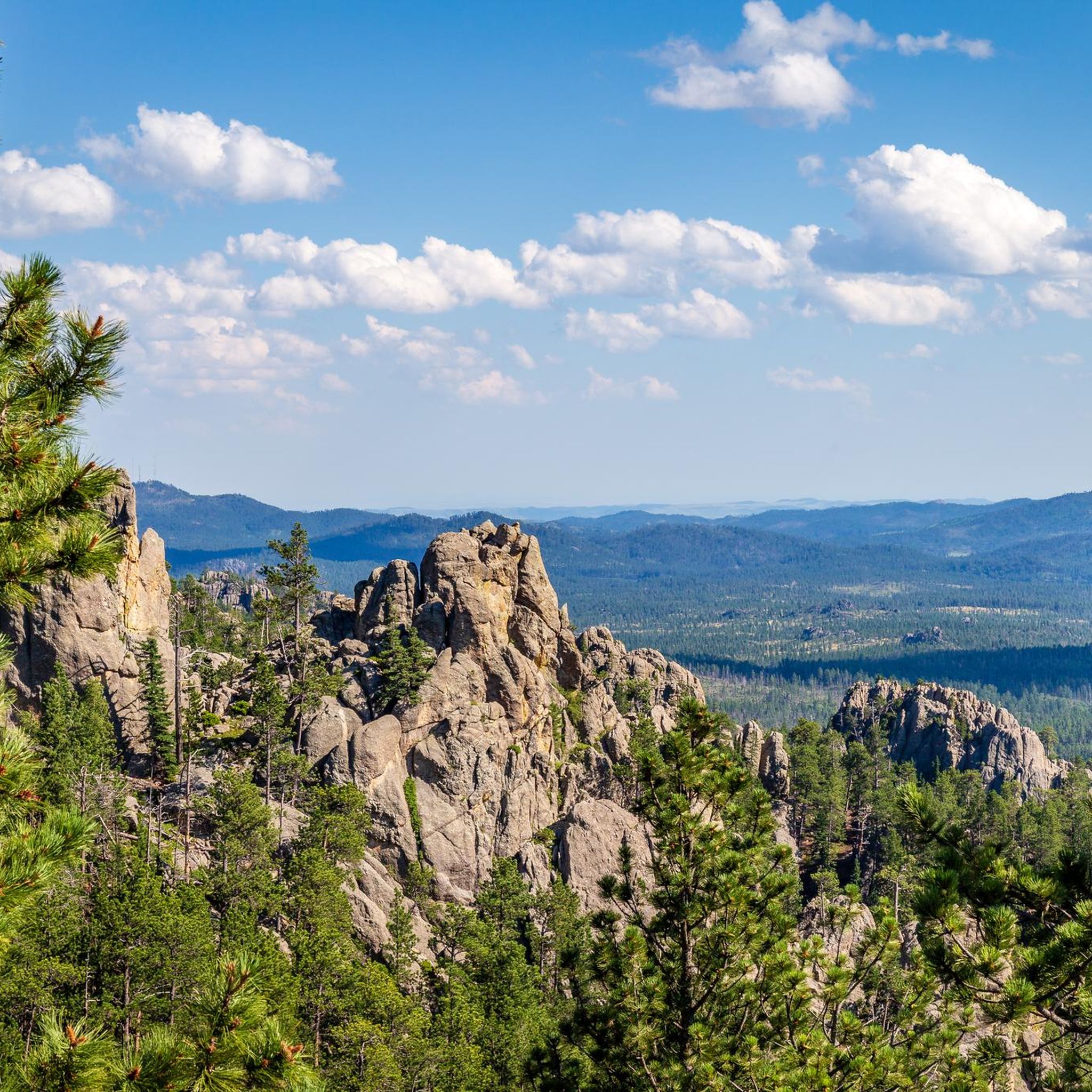
The Needles Highway is a 14-mile road that is often called the most scenic road in the world. It passes through pine and spruce forests, meadows surrounded by birch and aspen, and rugged granite mountains. The road’s name comes from the needlelike granite formations that seem to pierce the horizon along the highway. The road was planned by former South Dakota Governor Peter Norbeck and before it was constructed it was considered impossible to build. However, the road was completed in 1922 and is now a very popular destination.
2
0
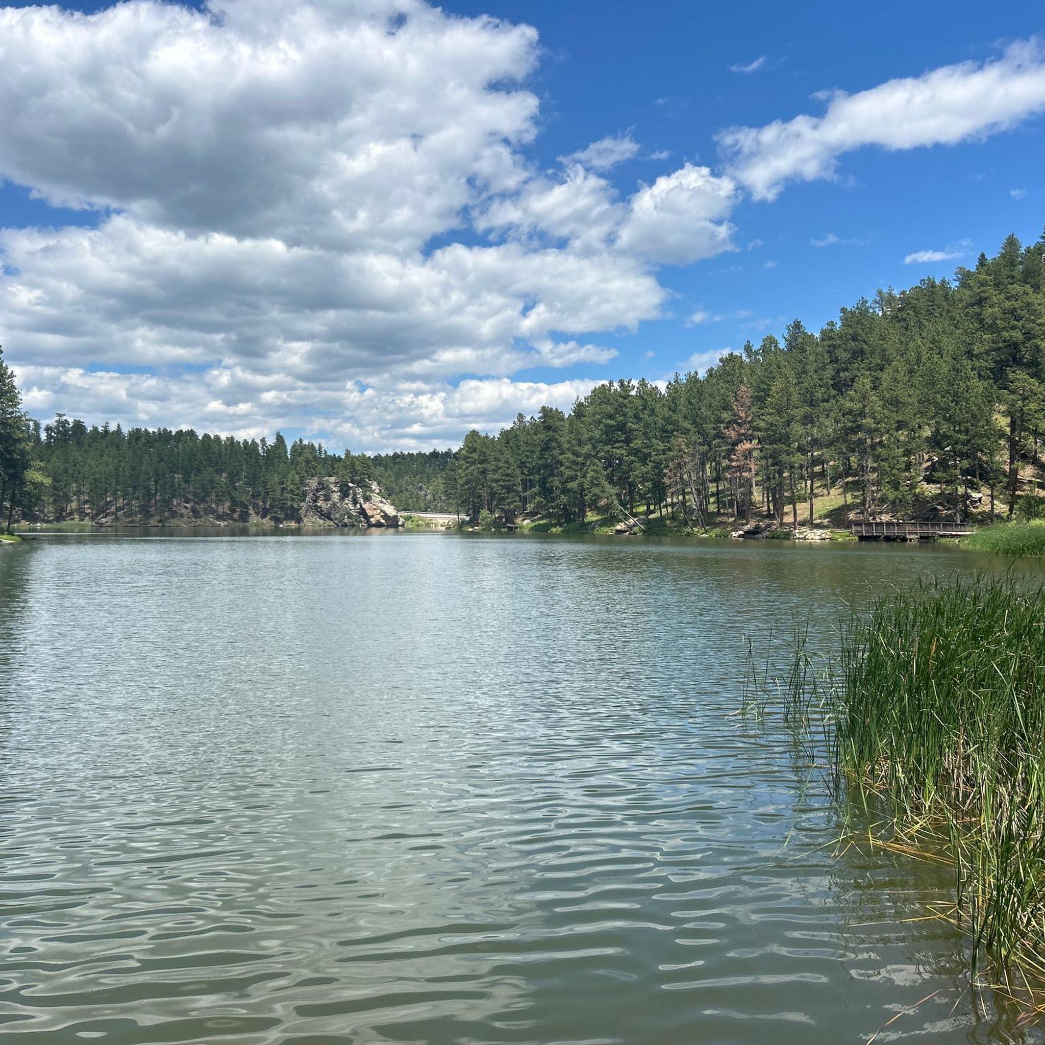
Beautiful lake within the Black Hills. The water is surrounded by forest and is usually not busy, so it is a great place to sit in the shade and enjoy the peaceful sounds of nature.
0
0
Frequently Asked Questions
How many road cycling routes are available around Keystone?
There are over 9 road cycling routes around Keystone, offering a diverse range of terrain for cyclists. These routes are highly rated by the komoot community, with an average score of 5.0 stars.
Are there road cycling routes suitable for beginners or families in Keystone?
Yes, Keystone offers routes suitable for various skill levels. While there are no routes specifically graded as 'easy' in the komoot guide data, there are 5 'moderate' routes that can be enjoyed by those looking for a less strenuous ride. The Mount Rushmore loop from Keystone is a moderate 10.9-mile path with notable elevation changes, offering a shorter ride. Additionally, the extensive Summit County Recreation Path, which connects Keystone to towns like Dillon and Frisco and loops around Lake Dillon, provides beautiful scenery and varying terrain suitable for families.
What are some challenging road cycling routes for experienced riders in Keystone?
For experienced riders seeking a challenge, Keystone offers several demanding routes. The komoot guide includes 4 'difficult' routes, such as the Norbeck Overlook loop from Keystone, a 29.8-mile trail with significant elevation gain. Beyond the listed routes, the climb from Keystone to Loveland Pass is a demanding 10-mile uphill ride with continuous switchbacks and a significant ascent of about 2,640 feet to an elevation of 11,990 feet.
Are there any scenic loop trails for road cycling in Keystone?
Yes, Keystone features several scenic loop options. The Dillon Reservoir Rec Path Loop is a popular easy to moderate road ride offering stunning views of Lake Dillon and the surrounding mountains. The komoot guide also features the Mount Rushmore loop — Black Hills National Forest, a 26.3-mile trail through mountain terrain, and the Wildlife Loop Road – Red Hill loop from Keystone, a difficult 56.3-mile route.
What kind of landscapes and attractions can I expect to see along road cycling routes in Keystone?
Road cycling routes around Keystone offer breathtaking views of the Rocky Mountains, transitioning from pine forests to high alpine environments. You'll encounter majestic peaks and the scenic Lake Dillon, which many paths encircle. Routes like the one towards Montezuma parallel the Snake River. Notable attractions include the historic mining town of Montezuma, and viewpoints like the Cathedral Spires viewpoint and the View of Mount Rushmore National Memorial. You might also spot wildlife, especially in the fall.
Are there any specific landmarks or points of interest accessible by road bike near Keystone?
Absolutely. Many routes offer access to significant landmarks. The Hill City via Iron Mountain Road — Black Hills National Forest route can lead you towards areas with views of Mount Rushmore. Other points of interest include Black Elk Peak and the Presidential Trail. The historic mining town of Montezuma is also a unique destination accessible by road bike, offering a glimpse into the region's past.
What is the best time of year for road biking in Keystone?
The best time for road biking in Keystone is typically from late spring through early fall. During these months, the weather is generally favorable, and the high alpine passes are clear of snow. Spring and summer bring wildflowers, while fall offers vibrant foliage. Winter road biking is generally not recommended due to snow and ice conditions, especially on higher elevation routes.
Are there road cycling routes near cafes or places to stop for refreshments?
While specific cafes directly on every route are not detailed, the extensive Summit County Recreation Path connects Keystone to neighboring towns like Dillon and Frisco, which offer various dining and refreshment options. In Keystone itself, you can find places like Memorial Team Ice Cream. Planning your route through or near these towns will provide opportunities for stops.
Can I access road cycling routes in Keystone using public transport?
Keystone and the wider Summit County area are served by the free Summit Stage bus system, which can be useful for accessing various points along the Summit County Recreation Path and other areas. This can help cyclists extend their range or create one-way rides. Check the Summit Stage schedule and bike rack availability for specific routes.
What do other road cyclists enjoy most about road cycling in Keystone?
The area is highly rated by the komoot community, with an average score of 5.0 stars from over 1 review. Cyclists often praise the diverse terrain, from challenging mountain ascents to more moderate paved paths, and the breathtaking scenery of the Rocky Mountains, Lake Dillon, and the Snake River. The well-maintained network of trails and roads, combined with opportunities for wildlife viewing and exploring historic towns, makes it a truly great destination.
Are there any long-distance road cycling routes around Keystone?
Yes, for those looking for longer rides, Keystone offers several options. The Hill City via Iron Mountain Road — Black Hills National Forest route is a difficult 47.8-mile journey. Another significant option is the Wildlife Loop Road – Red Hill loop from Keystone, which spans 56.3 miles and features substantial elevation gain.
Most popular routes around Keystone
Most popular attractions around Keystone

Get inspired with the komoot mobile app


Explore more
Browse the best Road cycling routes in other regions.
