The best walks and hikes around Eßleben-Teutleben
4.5
(566)
1,819
hikers
213
hikes
Hiking around Eßleben-Teutleben features green areas, river valleys, and rolling hills, characteristic of the broader Thuringia region. The landscape offers a blend of forests and accessible natural beauty, providing varied terrain for outdoor activities. Historical attractions like Auerstedt Castle and Eckartsburg Castle are integrated into the local environment, offering cultural points of interest along routes. The Ilm Valley, with its cycle path, also presents opportunities for walks along the river.
Best hiking trails around Eßleben-Teutleben
- The most popular hiking route…
Last updated: May 11, 2026
4.3
(3)
9
hikers
Moderate hike. Good fitness required. Easily-accessible paths. Suitable for all skill levels.
4.0
(1)
9
hikers
Easy hike. Great for any fitness level. Easily-accessible paths. Suitable for all skill levels.

Sign up for free
4
hikers
9.57km
02:28
40m
40m
Moderate hike. Good fitness required. Easily-accessible paths. Suitable for all skill levels.
5.0
(1)
7
hikers
6.46km
01:41
40m
40m
Easy hike. Great for any fitness level. Easily-accessible paths. Suitable for all skill levels.
5.0
(1)
3
hikers
4.33km
01:11
60m
60m
Easy hike. Great for any fitness level. Easily-accessible paths. Suitable for all skill levels.
Get access to more routes and recommendations from other explorers.
Sign up for free
Already have an account?
Our route recommendations are based on thousands of hikes, rides, and runs completed by other people on komoot.
Start today with a free account
Your next adventure awaits.
Login or Signup
Tips from the Community

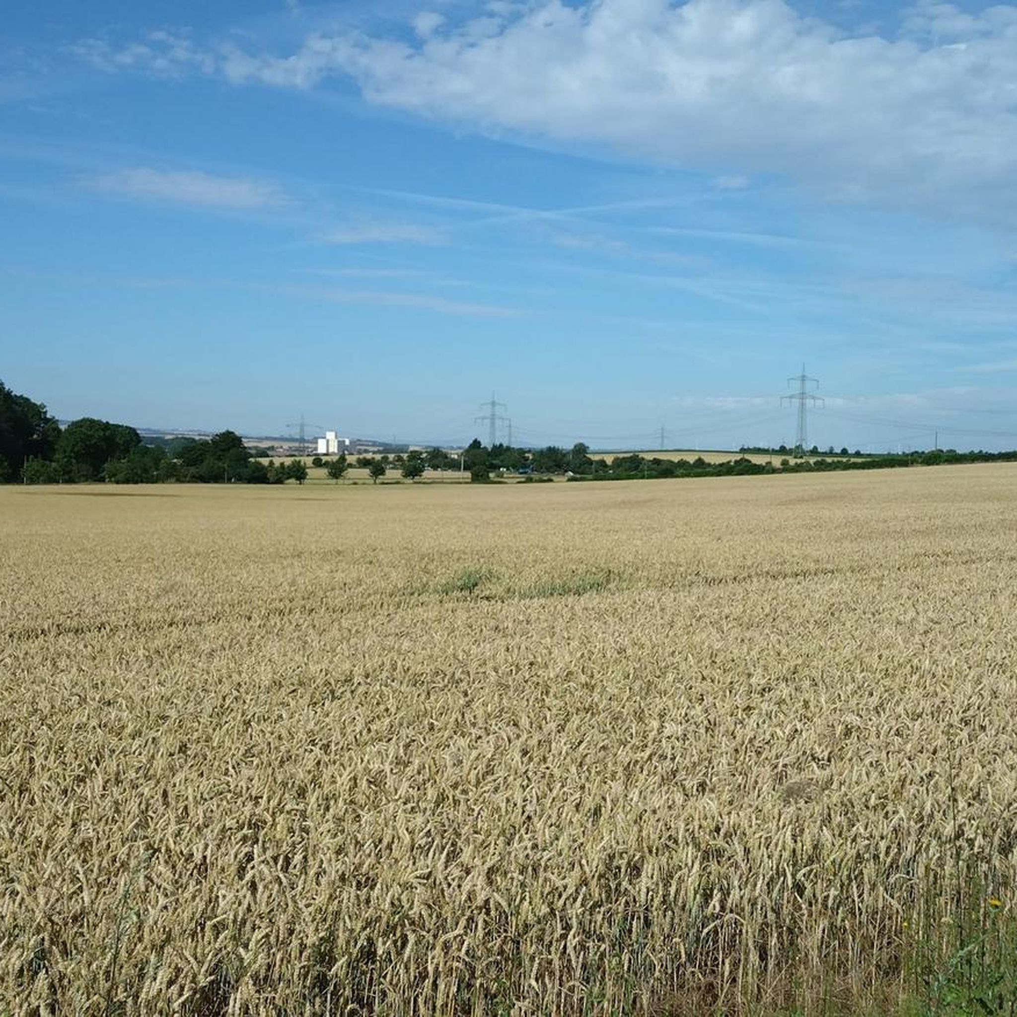
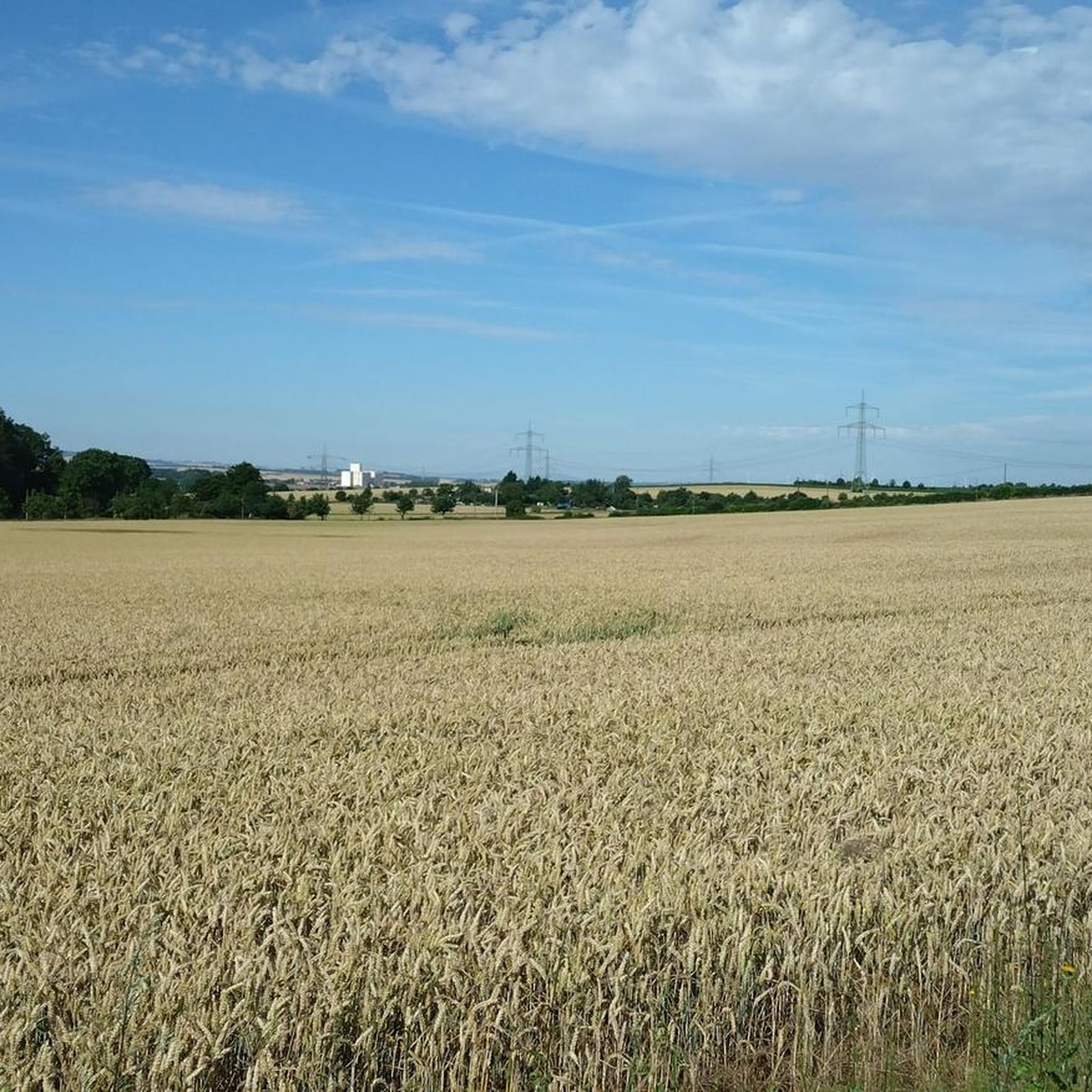
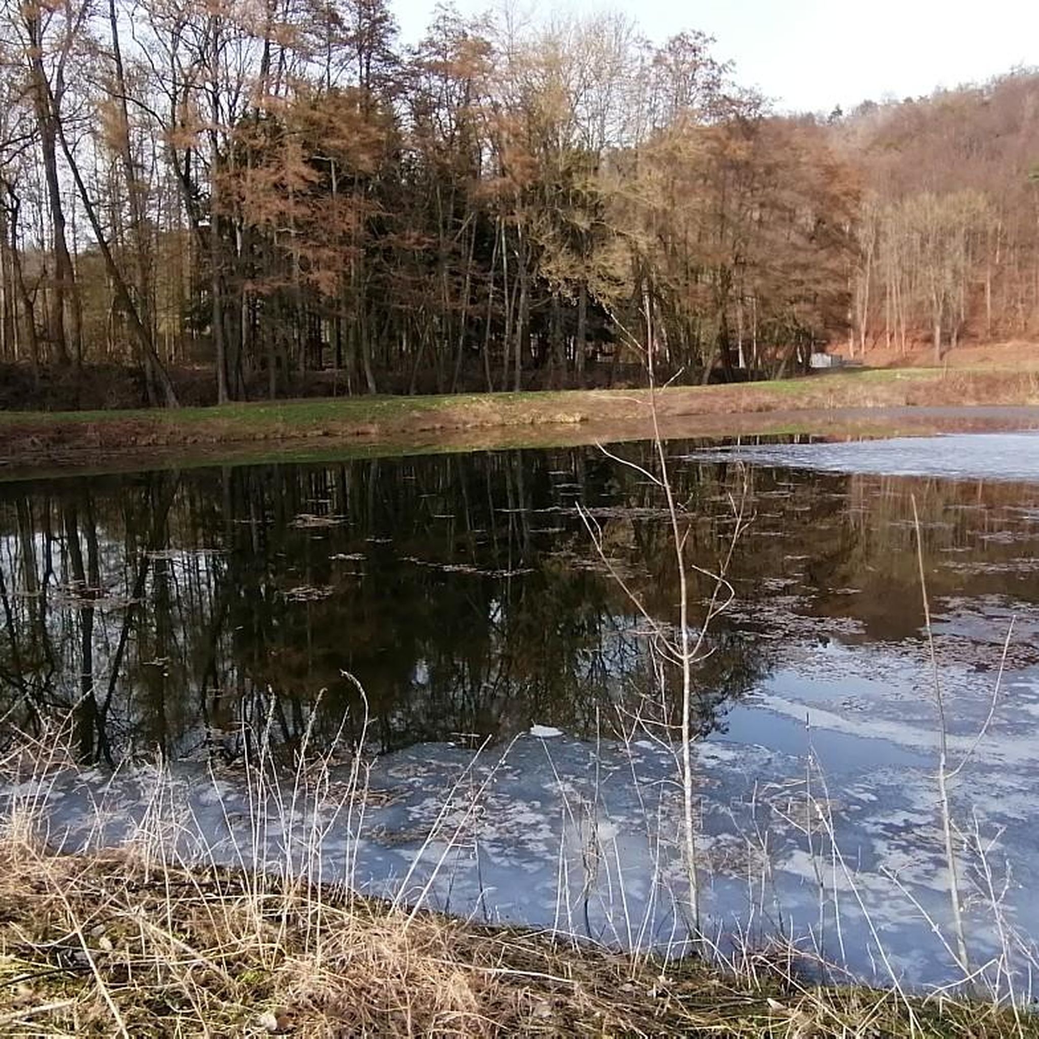
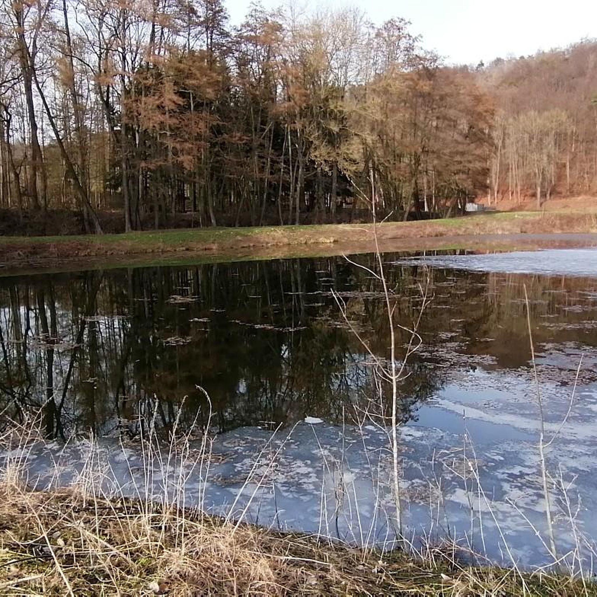
The area around Rastenberg is great for hiking; there's a rest area by the fish pond.
6
0

Almost like a monument, a reference to the Way of St. James, we get our hiking stamp in the house opposite. After a chat, we continue walking, looking at the wide fields again, and after a while we reach Nermsdorf. Here is our entire hike https://youtu.be/nFbLNkERv8c
0
0
We reach Oberreißen, the church is magnificent in the light, we walk through the town. Seen on our hike https://youtu.be/_M_yFB9L0mc
0
0

Near the old viaduct 247 m above sea level, behind it a tree with an impressive lightning strike.
7
0
Two signs indicate the former location from 1910 to 2000. The former overpass was part of the connecting line to the Rastenberg potash shaft, which was shut down and dismantled in 1925.
7
0
Plenty of space for children to rest and play
6
0
Magnificent monumental oak tree with a wonderful Easter tradition, would have deserved an extra information board....
6
0

Deep valley with rest area and information on distances
0
0
Frequently Asked Questions
How many hiking trails are available around Eßleben-Teutleben?
There are over 210 hiking routes around Eßleben-Teutleben, offering a diverse range of experiences. This includes more than 110 easy routes, 95 moderate trails, and 11 more challenging options, catering to various fitness levels and preferences.
Are there any easy or beginner-friendly hiking trails in the area?
Yes, Eßleben-Teutleben offers numerous easy trails perfect for beginners or a relaxed stroll. For example, the Rastenderger Gate – Camposanto Cemetery Buttstädt loop from Buttstädt is an easy 4.8 km path, and the Deep Valley – Großer Poltererplatz Rest Area loop from Rastenberg is another easy option at 4.3 km, taking about 1 hour 10 minutes.
What kind of terrain can I expect on hikes around Eßleben-Teutleben?
The region around Eßleben-Teutleben is characterized by green areas, river valleys, and rolling hills. You'll find a blend of forests and accessible natural beauty, with paths often following the scenic Ilm Valley. The terrain is generally varied, offering both gentle slopes and some moderate ascents.
Are there any circular walking routes available?
Yes, many routes around Eßleben-Teutleben are designed as circular walks. A popular moderate option is the Camposanto Cemetery Buttstädt – Oberreißen Village Church loop from Buttstädt, which covers 16.1 km. For a shorter, easy loop, consider the Rastenderger Gate loop from Buttstädt, which is 6.4 km.
What historical landmarks or attractions can I see while hiking?
The area is rich in history. You can incorporate visits to significant landmarks like Eckartsburg Castle, known for its romantic ruins, or Auerstedt Castle, which houses a museum. The Ilm Valley Cycle Path at the Poche also offers scenic views along the river.
Is Eßleben-Teutleben suitable for family-friendly hikes?
Absolutely. With over 110 easy routes, Eßleben-Teutleben is well-suited for families. The gentle terrain and picturesque landscapes provide a pleasant environment for walks with children. Many trails are relatively flat, especially those along river valleys, making them accessible for all ages.
Can I bring my dog on the hiking trails?
Yes, many trails in the Eßleben-Teutleben region are dog-friendly. It's generally recommended to keep dogs on a leash, especially in nature protection areas or near livestock, to ensure the safety and enjoyment of all hikers and wildlife. Always carry water for your dog and dispose of waste properly.
What is the best time of year to go hiking in Eßleben-Teutleben?
The spring, summer, and autumn months generally offer the most pleasant hiking conditions in Eßleben-Teutleben. Spring brings blooming nature, summer offers warm weather for longer days, and autumn showcases beautiful foliage. While winter hiking is possible, be prepared for colder temperatures and potentially snowy or icy conditions on trails.
Are there places to eat or stay near the hiking routes?
While specific cafes or pubs directly on every trail might be limited, the villages and towns surrounding Eßleben-Teutleben, such as Buttstädt and Rastenberg, offer options for dining and accommodation. It's advisable to check local listings for current opening times and availability.
How long do hikes typically take around Eßleben-Teutleben?
Hike durations vary significantly depending on the route's length and difficulty. Easy trails, like the 4.3 km Deep Valley – Großer Poltererplatz Rest Area loop, can take just over an hour. Moderate routes, such as the 9.5 km Camposanto Cemetery Buttstädt loop, typically take around 2 hours 27 minutes. Longer, more challenging routes can extend to over 4 hours.
What do other hikers say about the trails in Eßleben-Teutleben?
The hiking routes in Eßleben-Teutleben are highly regarded by the komoot community, with an average score of 4.5 stars from over 500 reviews. Hikers often praise the region's varied landscapes, the blend of natural beauty with historical sites, and the well-maintained paths that cater to different abilities.
Most popular attractions around Eßleben-Teutleben

Get inspired with the komoot mobile app


Explore more
Browse the best Hikes in other regions.
