The best road cycling routes around Pickens
4.8
(5)
111
riders
7
rides
Road cycling around Pickens, South Carolina, is characterized by its location in the foothills of the Blue Ridge Mountains, offering diverse terrain. The region features varying elevations, from challenging climbs to scenic descents, often requiring bikes with a wide selection of gears. Cyclists can explore routes that wind through forested areas, past scenic lakes, and along historic paved multi-use trails. This landscape provides a blend of natural beauty and recreational opportunities for road cyclists.
Best road cycling routes around Pickens
…Last updated: May 27, 2026
5
riders
69.8km
03:16
840m
840m
Cycle the moderate 43.4-mile Lake Oolenoy loop in Pickens, SC, for scenic lake views and mountain backdrops near Table Rock State Park.
2
riders
50.3km
02:20
590m
590m
Cycle the moderate 31.3-mile Doodle Trail Loop through South Carolina's varied landscapes, featuring rolling hills and wooded areas.

Sign up for free
9
riders
62.3km
02:52
710m
710m
Moderate road ride. Good fitness required. Mostly well-paved surfaces and easy to ride.
3
riders
38.3km
01:53
490m
490m
Moderate road ride. Good fitness required. Some segments of this route may be unpaved and difficult to ride.
5
riders
18.5km
00:49
160m
160m
Easy road ride. Great for any fitness level. Mostly well-paved surfaces and easy to ride.
Get access to more routes and recommendations from other explorers.
Sign up for free
Already have an account?
Our route recommendations are based on thousands of hikes, rides, and runs completed by other people on komoot.
Start today with a free account
Your next adventure awaits.
Login or Signup
Popular around Pickens
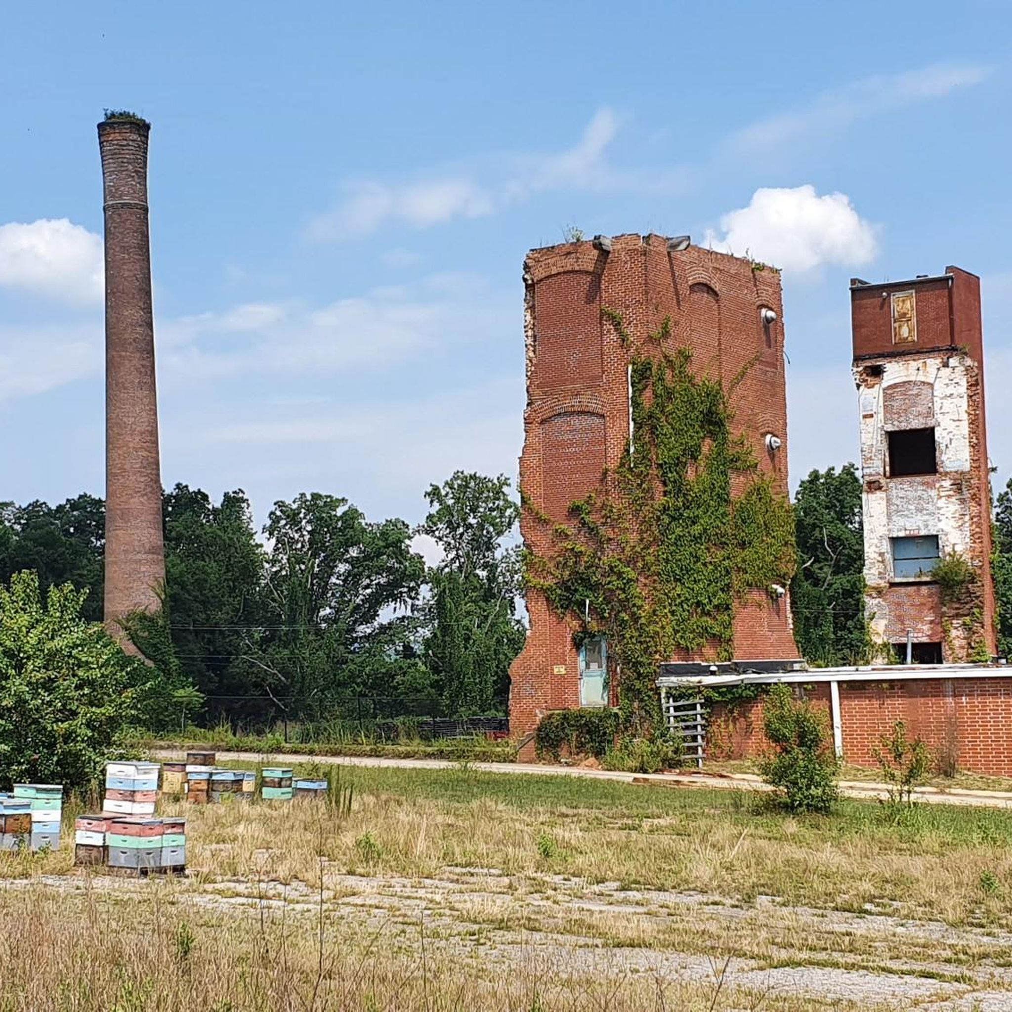


Tips from the Community

Overall, this route is beautiful. It is mostly on backroads so traffic isn't too bad. There is a short section on Hwy 11 where cars speed by at 55 to 65 mph, but there is a bike lane. Do this route if you are not overly anxious about cars sharing the road. Some of the roads are bumpy and one short section had no shoulder and rumble strips gouged into the white line. I will say that every driver was considerate waiting behind until safe to pass me on curves. Most gave me a wide berth when they passed which is much appreciated! You will be pedaling uphill and going fast downhill, so it is lots of fun if that is your thing. Use a bike with a wide selection of gears. You won't need wide tires but don't use your racing slicks either. Stop at Hagood Mill and don't miss the waterfall at the beginning, and the tea company at the end, of Carrick Creek Rd. The ride through the Nine Times Preserve is lovely. After the ride, I had lunch - a chicken, mushroom and cheese crepe - at The Full Plate Creperie Eatery in downtown Pickens. Delicious!
0
0

The Doodle Trail is an 8.5-mile rails-to-trails path stretching from Easley to Pickens. The former rail system was called the "Doodle Line" because the freight engine could not be turned around and had to run backwards, resembling the motion of a doodlebug.
0
0

Grant Meadow Overlook is a scenic pull-off along the Cherokee Foothills Scenic Highway in Pickens, South Carolina. This is a great place to stop on your ride to sip some water and snap some photos of the fantastics views of Table Rock over the open meadow.
0
0
Lake Oolenoy is a 67-acre lake located in Table Rock State Park. From the lake, you can get a nice view of Table Rock Mountain. The lake is a popular spot for boating and fishing.
0
0
Eastatoe Creek Heritage Preserve is a 374-acre tract of land that features its namesake, Eastatoe Creek. The preserve is also home to several rare species of ferns and wildflowers.
0
0
The Doodle Trail is an 8.5-mile rails-to-trails path stretching from Easley to Pickens. The former rail system was called the "Doodle Line" because the freight engine could not be turned around and had to run backwards, resembling the motion of a doodlebug.
1
0
The Doodle Trail is an 8.5-mile rails-to-trails path stretching from Easley to Pickens. The former rail system was called the "Doodle Line" because the freight engine could not be turned around and had to run backwards, resembling the motion of a doodlebug.
0
0

This is a short but charming road segment between two ponds. The trees and the tranquility make you feel like in a movie.
0
0
Frequently Asked Questions
What kind of terrain can I expect when road cycling in Pickens?
Pickens, nestled in the foothills of the Blue Ridge Mountains, offers diverse terrain for road cyclists. You'll find routes with varying elevations, from challenging climbs to scenic descents, often requiring bikes with a wide selection of gears. The landscape includes forested areas, scenic lakes, and historic paved multi-use trails, providing a blend of natural beauty and recreational opportunities.
Are there any easy or family-friendly road cycling routes in Pickens?
Yes, Pickens offers options suitable for families and those looking for an easier ride. The Doodle Trail loop from Arial is an easy 16.0-mile (25.8 km) trail. The Doodle Trail itself is a 7.5-mile paved multi-use trail connecting Easley and Pickens, known for being relatively flat and passing through woods and farmland, making it ideal for all skill levels.
Where can I find scenic views or natural landmarks along road cycling routes?
Many routes offer beautiful vistas. The Lake Oolenoy loop provides scenic lake views and mountain backdrops, particularly near Table Rock State Park. You might also encounter views of Glassy Mountain or the picturesque Sunflower Fields by the Roadside on various routes. The Pickens County Quilt and Bike Trail also offers beautiful vistas, especially as it becomes more mountainous towards the north.
Are there any circular road cycling routes available in Pickens?
Yes, several routes in Pickens are designed as loops. Examples include the Lake Oolenoy loop, the Doodle Trail Loop, and the North Saluda River – Grant Meadow Overlook loop from Pickens. These circular routes allow you to start and end at the same point, making logistics easier.
What do other road cyclists say about the routes in Pickens?
The road cycling routes in Pickens are highly rated by the komoot community, with an average score of 5.0 stars from more than 10 reviews. Over 200 road cyclists have used komoot to explore the varied terrain, often praising the scenic beauty and the diverse options available for different ability levels.
Are there any routes that pass by waterfalls or rivers?
Yes, the region is known for its natural water features. The Twelve Mile River offers an easy road cycling loop with a pleasant natural setting. While not directly on a road cycling route, the Laurel Fork Heritage Preserve, home to Laurel Fork Falls, is a notable natural area in the vicinity that contributes to the region's overall beauty.
How many road cycling routes are there to explore in Pickens?
There are at least 6 distinct road cycling routes available around Pickens, ranging in difficulty from easy to difficult. This variety ensures options for cyclists of all experience levels.
What is the longest road cycling route in Pickens?
Among the available routes, the North Saluda River – Grant Meadow Overlook loop from Pickens is one of the longer options, covering approximately 62.3 miles (100.3 km) with significant elevation changes.
Are there any challenging road cycling routes for experienced riders?
Yes, the mountainous terrain in the Blue Ridge foothills provides challenging options. Routes like the Lake Oolenoy loop, with its 835 meters of elevation gain over 43.4 miles, offer a good test for experienced riders. The northern parts of the Pickens County Quilt and Bike Trail also become more mountainous and challenging.
Can I find routes that combine historical interest with cycling?
Absolutely. The Doodle Trail Loop follows the route of the historic 'Pickens Doodle' railroad, offering a unique blend of history and cycling. The Pickens County Quilt and Bike Trail also connects historical sites and features hand-painted quilt panels on barns, adding a cultural dimension to your ride.
What is the best time of year for road cycling in Pickens?
The region's location in the Blue Ridge Mountains foothills makes spring and fall particularly appealing for road cycling. These seasons typically offer milder temperatures and beautiful scenery, including fall foliage. Summers can be warm, while winters are generally mild but can have cooler days.
Are there any routes that pass by lakes?
Yes, the Lake Oolenoy loop is a prime example, offering scenic views of Lake Oolenoy and the surrounding mountains. Pickens County also provides access to other major lakes like Jocassee, Keowee, and Hartwell, with a moderate 12-mile touring loop around Lake Hartwell offering forest scenery and lake views.
Most popular routes around Pickens
Most popular attractions around Pickens

Get inspired with the komoot mobile app


Explore more
Browse the best Road cycling routes in other regions.
