The best road cycling routes around Mauldin
4.6
(28)
1,163
riders
77
rides
Mauldin road bike routes benefit from the region's diverse terrain, featuring extensive paved multi-use paths and proximity to natural preserves. The area is characterized by its integration with the Prisma Health Swamp Rabbit Trail, offering miles of flat, accessible cycling along the Reedy River. While Mauldin itself is relatively flat, its location provides access to the foothills of the Blue Ridge Mountains for those seeking more challenging climbs. Lake Conestee Nature Park also contributes riverine landscapes and trails suitable for…
Last updated: November 7, 2026
3.0
(1)
41
riders
40.0km
01:51
250m
250m
Moderate road ride. Some segments of this route may be unpaved and difficult to ride.
5.0
(2)
21
riders
43.6km
01:50
250m
250m
Easy road ride. Mostly well-paved surfaces and easy to ride.

30
riders
85.7km
03:39
660m
660m
Moderate road ride. Good fitness required. Mostly well-paved surfaces and easy to ride.
5.0
(2)
17
riders
32.6km
01:27
280m
280m
Easy road ride. Mostly well-paved surfaces and easy to ride.
21
riders
Easy road ride. Mostly well-paved surfaces and easy to ride.
Get access to more routes and recommendations from other explorers.
Already have an account?
Our route recommendations are based on thousands of hikes, rides, and runs completed by other people on komoot.
Start today with a free account
Your next adventure awaits.



Tips from the Community

Snows Lake is a calm and serene body of water surrounded by woodlands nestled in the Trollingwood Lake subdivision. This beautiful lake provides an ideal getaway for individuals looking to escape the chaos of daily life, making it a perfect spot to relax and enjoy the quiet scenery.
0
0

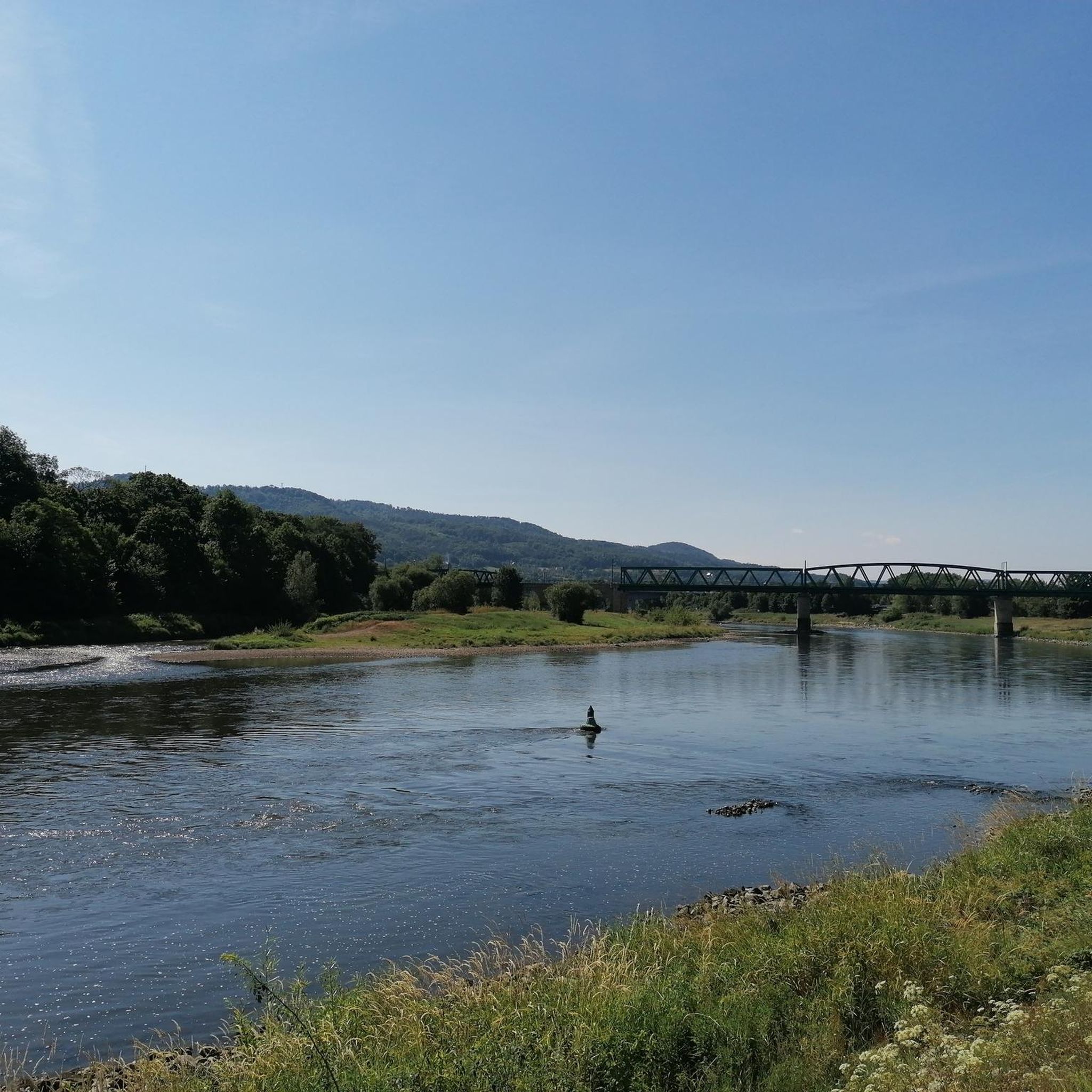
A fascinating pedestrian bridge for connecting with nature in the public gardens on both sides of the Reedy River. There are plenty of quiet places to relax in the park. Here you can enjoy the river's currents and surrounding beauty.
0
0
Conestee Lake was originally created by the construction of a hydroelectric power dam in 1892, we can see flora and fauna that surrounds it, ideal for taking beautiful selfies and at the same time enjoying the unique and natural environment.
0
0

Trollingwood Lake, located in North Carolina, is a serene reservoir surrounded by woodlands. The lake is a popular peaceful escape with scenic views.
0
0
Spanning 400+ acres and recognized globally as an Important Bird Area and a Wildlife Sanctuary, it boasts 11 wildlife decks, and 40 learning stations. You will have plenty of opportunities to admire this wondrous landscape during an invigorating run.
0
0
A fascinating pedestrian bridge for connecting with nature in the public gardens on both sides of the Reedy River. There are plenty of nice places to relax during your ride. Here you can enjoy the river's currents and surrounding beauty.
0
0

The Wyche Pavilion on Reedy River in downtown Greenville is an amazing two-story, open-air shell of the historic Duke's Mayonnaise factory that is currently used in the 21st century as an event venue. It was listed in the National Register of Historic Places in 1979. There is a park next to the building along the banks of the river as well as an outdoor stage, making it a great place to catch a show or stop for the views on a ride through downtown Greenville.
1
0
A fascinating pedestrian bridge for connecting with nature in the public gardens on both sides of the Reedy River. There are plenty of nice places to relax during your run. Here you can enjoy the river's currents and surrounding beauty.
0
0
Frequently Asked Questions
How many road cycling routes are available around Mauldin?
There are over 75 road cycling routes available around Mauldin, offering a wide range of options for different skill levels and preferences. The komoot community has explored these routes over 1,500 times.
What is the general terrain like for road cycling in Mauldin?
Mauldin's road cycling terrain primarily features extensive paved multi-use paths, including direct access to the Prisma Health Swamp Rabbit Trail. The immediate area is relatively flat, offering accessible cycling along riverine landscapes. For those seeking more challenging climbs, the nearby foothills of the Blue Ridge Mountains provide varied and strenuous routes.
What are the difficulty levels of road cycling routes in Mauldin?
Mauldin offers a good mix of difficulty levels. You'll find approximately 20 easy routes, over 50 moderate routes, and a few more difficult options for experienced cyclists. This variety ensures there's something for everyone, from casual rides to more demanding excursions.
What do other cyclists say about road cycling in Mauldin?
The road cycling routes around Mauldin are highly rated by the komoot community, with an average score of 4.2 stars from over 20 reviews. Cyclists often praise the well-maintained paved paths, scenic views, and the accessibility of routes like the Swamp Rabbit Trail.
Are there any family-friendly road cycling routes in Mauldin?
Yes, Mauldin offers several family-friendly options, particularly on its paved multi-use paths and greenways. Routes like the Falls Park on the Reedy – Unity Park loop from Haywood Mall are considered easy and suitable for families, providing urban park views and riverside cycling without significant elevation changes.
Can I find scenic road cycling routes with good views in Mauldin?
Absolutely. Many routes offer scenic views, especially those that follow the Reedy River or pass through natural preserves. For example, the Conestee Nature Preserve to Trollingwood Lake loop takes you through beautiful natural areas and along waterways. The proximity to the Blue Ridge Mountains also means opportunities for stunning vistas on longer rides.
Are there road cycling routes that are loop trails?
Yes, many of the road cycling routes around Mauldin are designed as loops, providing convenient starting and ending points. Examples include the popular Conestee Nature Preserve to Trollingwood Lake loop and the Snows Lake loop from Trailer Parking, allowing you to return to your starting point without retracing your path.
What kind of natural features or landmarks can I see along the road cycling routes?
Road cycling routes in Mauldin often pass by significant natural features and landmarks. You can explore the Conestee Nature Preserve, known for its wetlands and wildlife. Other routes may lead you to urban green spaces like Cleveland Park or offer views of the Reedy River. Further afield, the Blue Ridge Mountains provide access to pristine waterfalls and mountain vistas.
Where can I park when accessing road cycling routes in Mauldin?
Parking is generally accessible near many of Mauldin's cycling routes and trailheads. City parks like Mauldin City Park, Sunset Park, and Springfield Park often provide parking facilities that can serve as convenient starting points for your rides. For routes connecting to the Prisma Health Swamp Rabbit Trail, various access points along its length also offer parking.
Are there options for more challenging road cycling near Mauldin?
While Mauldin itself is relatively flat, its location in the 'Upcountry' provides easy access to the foothills of the Blue Ridge Mountains. This proximity allows cyclists to embark on day trips to explore more challenging terrain with significant elevation gains, offering a different experience from the local greenways.
What is the best time of year for road biking in Mauldin?
The spring and fall months generally offer the most pleasant conditions for road biking in Mauldin, with mild temperatures and comfortable weather. Summer can be warm and humid, while winter is typically mild, allowing for year-round cycling, though cooler temperatures may require appropriate gear.
Are there cafes or places to stop for refreshments along the routes?
Many road cycling routes in and around Mauldin, especially those that pass through urban areas or connect to the Prisma Health Swamp Rabbit Trail, offer opportunities to stop for refreshments. You'll find cafes and eateries in nearby towns and along popular sections of the trails, particularly in Greenville, which is easily accessible from Mauldin's network.
Are dogs allowed on road cycling trails in Mauldin?
Dogs are generally allowed on many of the multi-use paths and greenways in Mauldin and the surrounding areas, including sections of the Prisma Health Swamp Rabbit Trail, provided they are kept on a leash. It's always a good idea to check specific park or trail regulations before heading out with your furry companion.
How does the Prisma Health Swamp Rabbit Trail connect to Mauldin's cycling options?
Mauldin is well-integrated with the Prisma Health Swamp Rabbit Trail network. The city boasts 11 greenways and bike trails that provide convenient access to this expansive 22-mile paved multi-use path. There are also plans to expand the Swamp Rabbit Trail directly into the Mauldin community, further enhancing connectivity for cyclists.
Most popular routes around Mauldin
Most popular attractions around Mauldin

Get inspired with the komoot mobile app


Explore more
Browse the best Road cycling routes in other regions.
