The best road cycling routes around Cranston
4.7
(88)
1,989
riders
17
rides
Road cycling routes around Cranston, Rhode Island, offer a diverse landscape for cyclists, featuring a mix of well-paved paths and routes with varied elevation. The region is characterized by scenic rail trails, such as the Washington Secondary Rail Trail, and routes that follow the Pawtuxet River. Cyclists can also find paths offering views of natural features like the Scituate Reservoir and Jordan Pond, alongside numerous parks and green spaces. The terrain includes both flat sections and routes with moderate elevation…
Last updated: June 28, 2026
4.9
(7)
64
riders
50.4km
02:21
220m
220m
Moderate road ride. Good fitness required. Mostly well-paved surfaces and easy to ride.
13
riders
74.5km
03:38
800m
800m
Moderate road ride. Good fitness required. Mostly well-paved surfaces and easy to ride.

Sign up for free
12
riders
21.7km
01:01
90m
90m
Easy road ride. Great for any fitness level. Mostly well-paved surfaces and easy to ride.
4
riders
57.4km
02:38
430m
430m
Moderate road ride. Good fitness required. Mostly well-paved surfaces and easy to ride.
2
riders
46.3km
02:15
570m
570m
Moderate road ride. Good fitness required. Mostly well-paved surfaces and easy to ride.
Get access to more routes and recommendations from other explorers.
Sign up for free
Already have an account?
Our route recommendations are based on thousands of hikes, rides, and runs completed by other people on komoot.
Start today with a free account
Your next adventure awaits.
Login or Signup

Tips from the Community

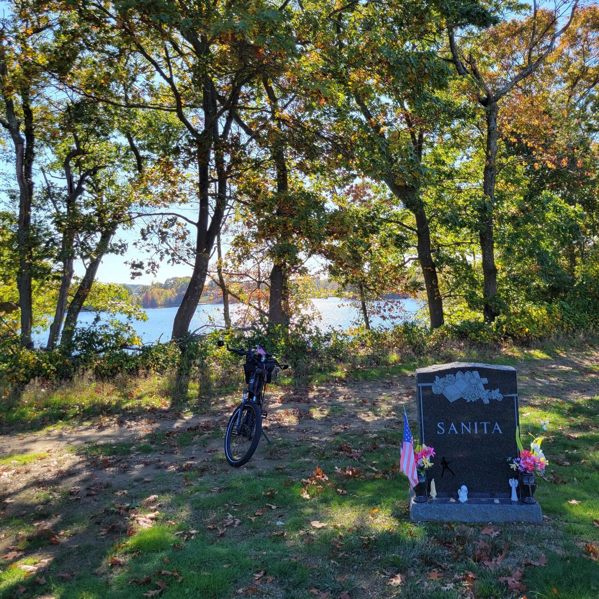
From this spot on the Central Pike (be aware of cars!) you get great views on both sides of the Barden Reservoir. Just west of the bridge on a small peninsula historic cemetery where Civil War Veterans are buried. Interestingly, there are a few more historic cemeteries near by along Ponagansett Road, which part of a pleasant walking loop on a mix of gravel and dirt, and paved roads around the reservoir.
0
0

Scituate Reservoir is the largest body of water within the state of Rhode Island. You get a pretty great view from here on the Danielson Pike Bridge.
0
0

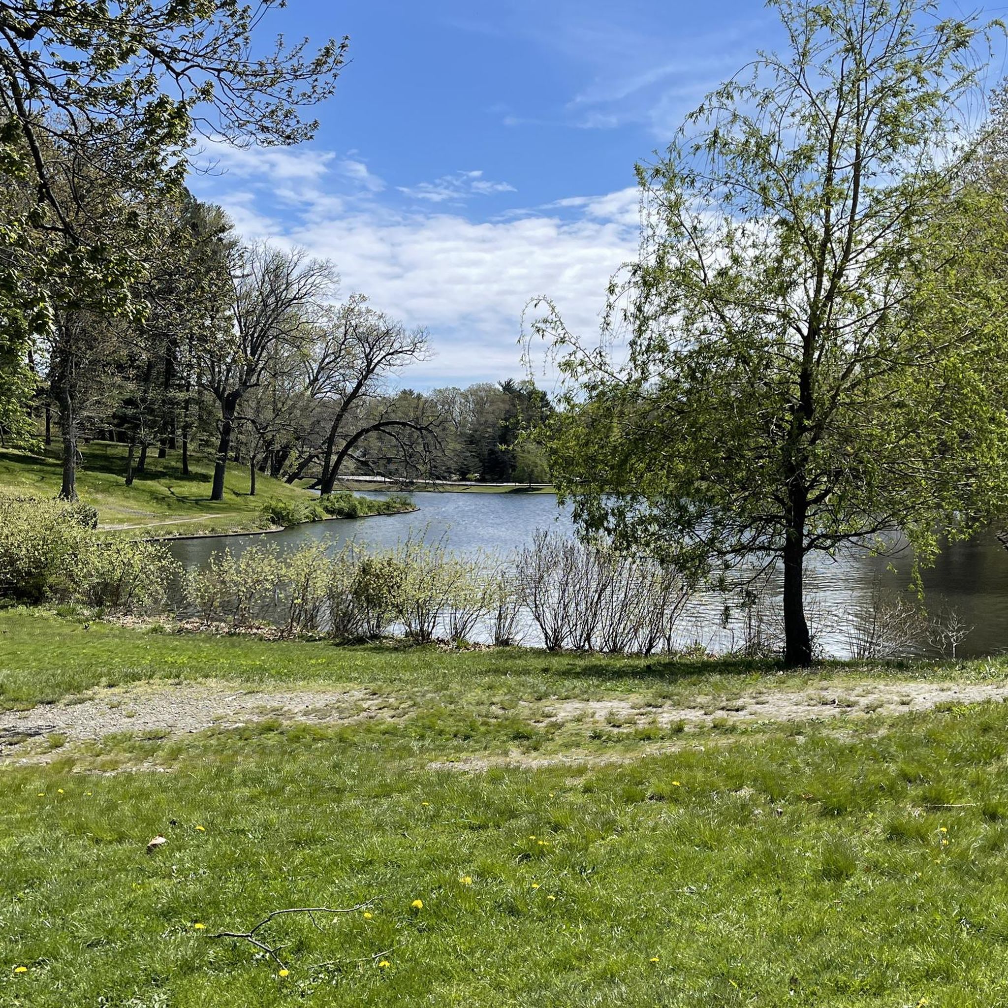
Jordan Pond is situated just outside of Clayville and offers a scenic view framed by trees. You can see the pound from the from the road.
0
0

Originally built to also accommodate horses, the western section of the Washington Secondary-Rail Trail, the Trestle Trail, is over 4.8 miles of paved trail with stunning Rhode Island scenery.
0
0
The Scituate Reservoir Protection Area in Rhode Island safeguards the largest freshwater source in the state. Offering pristine landscapes, trails, and wildlife habitats, it ensures the conservation of vital water resources for the state, while providing a tranquil retreat for nature enthusiasts.
0
0
This truss bridge carries you over the Pawtuxet River on the Washington Secondary Rail Trail. The bridge also offers views of the river off both sides.
0
0
Originally built to also accommodate horses, the western section of the Washington Secondary-Rail Trail, the Trestle Trail, is over 4.8 miles of paved trail with stunning Rhode Island scenery.
0
0
This truss bridge carries you over the Pawtuxet River on the Washington Secondary Rail Trail. The bridge also offers views of the river off boths sides.
0
0
Frequently Asked Questions
How many road cycling routes are available in Cranston?
Cranston offers a diverse selection of road cycling routes, with over 15 routes available for exploration. These routes cater to various skill levels, from easy, flat rides to more challenging options with significant elevation gains.
What kind of terrain can I expect on road cycling routes in Cranston?
Road cycling in Cranston features a varied landscape. You'll find well-paved paths, including scenic rail trails like the Washington Secondary Rail Trail, as well as routes with moderate elevation changes. The terrain includes both flat sections along rivers and bays, and areas with rolling hills, providing options for different fitness levels.
Are there easy road cycling routes suitable for beginners or families in Cranston?
Yes, Cranston has several easy road cycling routes perfect for beginners or families. Routes like Bridge on the Rail Trail – Trestle Trail loop from Elmwood, which incorporates sections of the Washington Secondary Rail Trail, offer mostly flat and well-paved surfaces. Another great option is the India Point Park – East Bay Bike Path loop, which provides scenic views along the waterfront.
What are some scenic viewpoints or natural features I can see while road cycling in Cranston?
Cranston's routes often feature picturesque natural elements. You can enjoy views of the Scituate Reservoir Protection Area, the largest body of water in Rhode Island, and the tranquil Jordan Pond. The Pawtuxet River is a recurring scenic element, with truss bridges offering views. Additionally, the East Bay Bike Path provides vistas of Narragansett Bay, marshes, and coves. You might also pass by India Point Park, offering waterfront views.
Are there any circular road cycling routes in Cranston?
Many of Cranston's road cycling routes are designed as loops, allowing you to start and end at the same point. Examples include the Bridge on the Rail Trail – Trestle Trail loop and the Lawton Hill – Cranberry Hill loop, which offers a longer, more challenging circular ride.
What is the average length of road cycling routes in Cranston?
The road cycling routes in Cranston vary significantly in length. You can find shorter, easy rides around 16-19 miles (26-30 km), such as the India Point Park – East Bay Bike Path loop. For those seeking a longer challenge, routes like the Lawton Hill – Cranberry Hill loop extend to nearly 47 miles (75 km).
Where can I find parking for road cycling trails in Cranston?
Parking is generally available near popular trailheads and parks in Cranston. For routes utilizing the Washington Secondary Rail Trail or East Bay Bicycle Path, look for designated parking areas at access points. Many local parks, such as Meshanticut State Park or Brayton Park, also offer parking facilities that can serve as starting points for rides.
What do other cyclists say about road cycling in Cranston?
The road cycling routes in Cranston are highly rated by the komoot community, with an average score of 4.6 stars from over 49 reviews. Cyclists often praise the diverse terrain, the scenic views along rail trails and waterfronts, and the variety of options available for different skill levels.
Are there any less busy or quieter road cycling routes in Cranston?
While popular routes like the East Bay Bike Path can see more traffic, many of Cranston's routes offer quieter sections, especially those that venture into more wooded or residential areas away from the main thoroughfares. Exploring routes that incorporate parts of the Washington Secondary Rail Trail or those around the Scituate Reservoir can provide a more tranquil experience.
Can I find places to eat or drink near the road cycling routes in Cranston?
Yes, Cranston offers various amenities along and near its cycling routes. The East Bay Bicycle Path, for instance, passes through several towns with cafes, restaurants, and shops. In Cranston itself, you'll find dining options in commercial areas that are often accessible from cycling routes, allowing for convenient stops to refuel.
What is the best time of year for road cycling in Cranston?
The best time for road cycling in Cranston is generally from spring through fall, when the weather is mild and the natural scenery is vibrant. Spring brings blooming landscapes, while fall offers beautiful foliage. Summer is also popular, though it can be warmer. Winter cycling is possible, but conditions may vary with snow and ice, especially on less maintained paths.
Are there any parks or green spaces accessible by road bike in Cranston?
Absolutely. Cranston is rich in parks and green spaces that are often accessible or incorporated into road cycling routes. You can cycle near or through areas like Meshanticut State Park, Pawtuxet Oxboes Park, J.L. Curran State Park, and Randall Park. These parks offer additional opportunities for relaxation or exploring nature off the bike.
Most popular routes around Cranston
Most popular attractions around Cranston

Get inspired with the komoot mobile app


Explore more
Browse the best Road cycling routes in other regions.
