The best road cycling routes around South Pottstown
4.8
(5)
181
riders
31
rides
Road cycling routes around South Pottstown primarily follow the Schuylkill River, offering paths through river valleys and alongside wooded areas. The terrain is generally flat to gently rolling, with some routes featuring moderate elevation gains. This region provides a mix of paved trails and quiet roads suitable for road cycling, characterized by the river's course, expansive parklands, and surrounding natural features.
Best road cycling routes around South Pottstown
- The most popular road cycling route is Rapps Dam Covered Bridge –…
Last updated: July 2, 2026
5.0
(1)
76
riders
48.5km
02:42
260m
260m
Moderate road ride. Good fitness required. Mostly well-paved surfaces and easy to ride.
5.0
(1)
9
riders
20.3km
01:07
240m
240m
Easy road ride. Great for any fitness level. Mostly well-paved surfaces and easy to ride.

Sign up for free
23
riders
20.1km
01:05
140m
140m
Easy road ride. Great for any fitness level. Mostly well-paved surfaces and easy to ride.
6
riders
51.8km
03:35
300m
300m
Moderate road ride. Good fitness required. Some segments of this route may be unpaved and difficult to ride.
4.0
(1)
7
riders
108km
05:06
1,020m
1,020m
Hard road ride. Very good fitness required. Mostly well-paved surfaces and easy to ride.
Get access to more routes and recommendations from other explorers.
Sign up for free
Already have an account?
Our route recommendations are based on thousands of hikes, rides, and runs completed by other people on komoot.
Start today with a free account
Your next adventure awaits.
Login or Signup
Popular around South Pottstown


Tips from the Community

This is a perfect spot to access the Schuylkill River Trail. At this trailhead, you'll find a dog park and a picnic area—an excellent place to start your journey or turn around and head back.
1
0


Access and parking for the Schuylkill River Trail. There are shelters and benches on the site as well, so it is a great place to stop for a break while biking the path. The park is on the banks of the Schuylkill River, so it also gives great views of the river and has a wonderful pedestrian bridge over the river.
0
0

French Creek State Park is a 7,730-acre park filled with forests, lakes, and wetlands. This is the largest patch of contiguous forest between Washington D.C. and New York City.
0
0

The James Overstreet Open Space Preserve is a large nature preserve featuring large open fields surrounded by woodlands. The preserve is located on Douglass Drive in Boyertown, Pennsylvania and is a scenic spot to ride past as you explore the area.
0
0

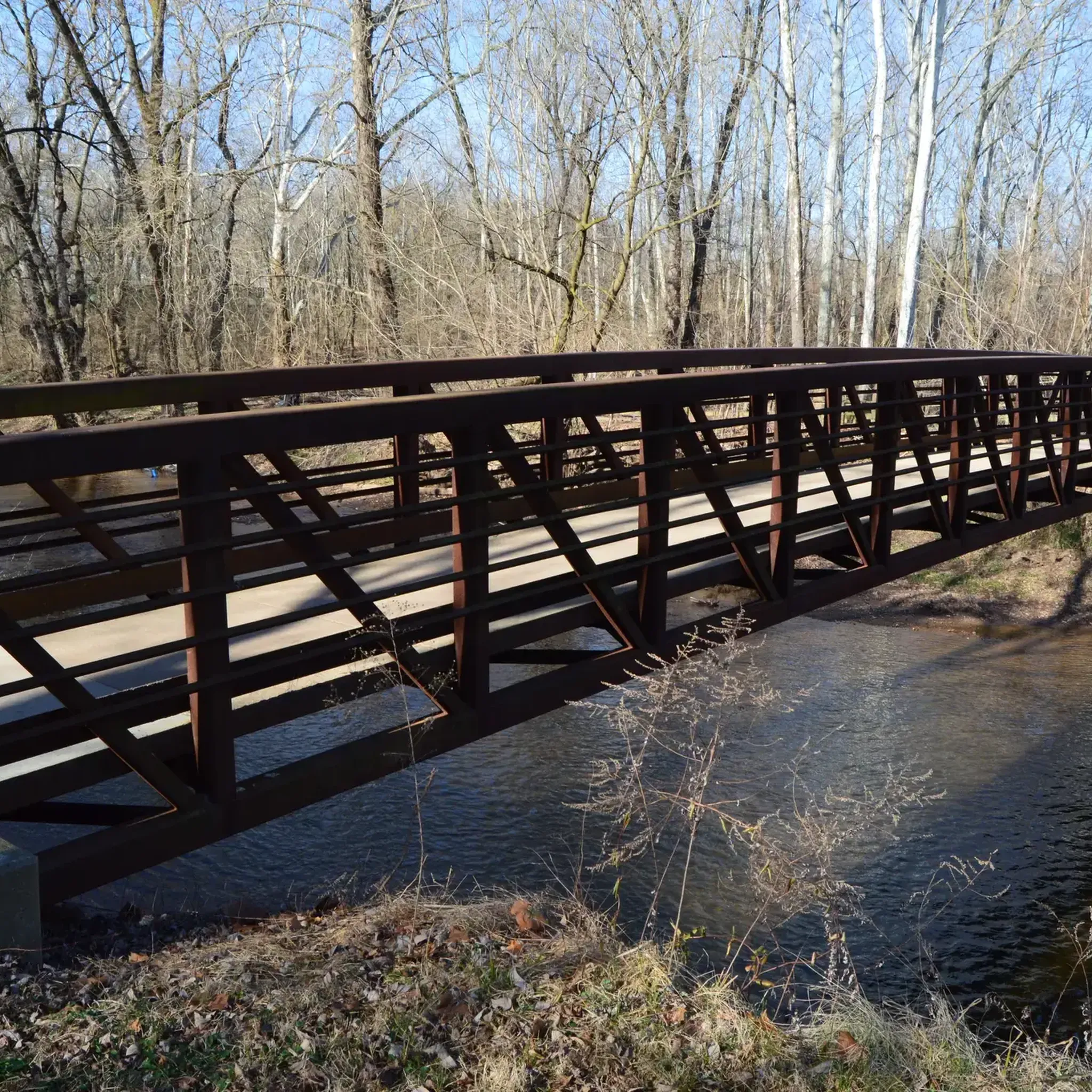
Situated on the banks of the Schuylkill River, this park provides excellent views of the river along a nice trail that encircles the park. A bridge within the park offers a stunning vantage point to take in the scenic surroundings.
0
0

Walk, run, or bike along the banks of the Schuylkill River, enjoying serene stretches and captivating views of the surrounding scenery. Witness lush woodlands, charming bridges, and glimpses of bustling Phoenixville across the water.
0
0
Cycling through Natural Lands Crow's Nest Preserve reveals a rich tapestry of wildlife and trees. Riders may encounter diverse bird species, deer, and woodland creatures amidst a landscape adorned with oak, hickory, and maple trees. The preserve offers a tranquil and biodiverse environment, enhancing the cycling experience.
0
0
Frequently Asked Questions
How many road cycling routes are available around South Pottstown?
There are over 30 road cycling routes around South Pottstown, offering a variety of distances and difficulty levels. The network includes options for easy, moderate, and challenging rides.
What are the typical conditions for road cycling in South Pottstown?
Road cycling routes in South Pottstown primarily follow the Schuylkill River, featuring paved trails and quiet roads. The terrain is generally flat to gently rolling, with some routes including moderate elevation gains. You can expect paths through river valleys and alongside wooded areas.
What is the best season for road cycling in South Pottstown?
The spring and fall seasons generally offer the most pleasant conditions for road cycling in South Pottstown, with mild temperatures and vibrant scenery. Summer can also be enjoyable, though it may be warmer, while winter cycling is possible but requires appropriate gear for colder weather.
Are there easy road cycling routes suitable for beginners in South Pottstown?
Yes, South Pottstown offers several easy road cycling routes perfect for beginners. An example is the Schuylkill River Trail – Schuylkill River Trail loop from Limerick Nuclear Power Plant, which is 15.2 miles (24.4 km) long and leads through riverfront scenery.
Where can I find challenging road cycling routes near South Pottstown?
For those seeking a challenge, South Pottstown has routes with more significant distances and elevation gains. The View from Sullivan's Bridge – Schuylkill River Trail loop from Limerick Nuclear Power Plant, at 59.9 miles (96.6 km) with over 400 meters of elevation, offers a substantial ride.
Are there any long-distance road cycling routes in the area?
Yes, you can find several long-distance road cycling routes. The longest route available is the View from Sullivan's Bridge – Schuylkill River Trail loop from Limerick Nuclear Power Plant, which spans 59.9 miles (96.6 km) and offers extensive views along the Schuylkill River.
Are there circular road cycling routes around South Pottstown?
Many of the road cycling routes in South Pottstown are designed as loops, allowing you to start and end at the same point. Examples include the Schuylkill River Trail – Schuylkill River Trail loop from Pottstown and the Schuylkill River Trail loop from Parker Ford.
Are there family-friendly road cycling options in South Pottstown?
The generally flat and paved sections of the Schuylkill River Trail make it suitable for family cycling. Easy routes like the Schuylkill River Trail – Schuylkill River Trail loop from Limerick Nuclear Power Plant are great for families looking for a relaxed ride.
Where can I find parking for road cycling routes in South Pottstown?
Many road cycling routes in the area, especially those along the Schuylkill River Trail, have designated trailheads with parking. A notable starting point is the Pottstown Riverfront Trailhead, which offers convenient access to the trail network.
What scenic viewpoints or attractions can I expect along road cycling routes?
Road cycling routes in South Pottstown offer views of the Schuylkill River and surrounding natural landscapes. You might pass by points of interest such as the Hopewell Dam or the Saint Peters Village. The trails also provide access to areas like French Creek State Park, where you can find highlights like the Lenape Trail.
What do other road cyclists enjoy the most about road cycling in South Pottstown?
The area is highly rated by the komoot community, with an average score of 5.0 stars. Reviewers often praise the well-maintained paved trails, the scenic riverfront views, and the variety of routes suitable for different skill levels.
Are there any less crowded road cycling trails in South Pottstown?
While popular sections of the Schuylkill River Trail can see more traffic, exploring routes slightly off the main thoroughfare or riding during off-peak hours (early mornings or weekdays) can offer a more tranquil experience. Routes like the Pottstown Riverfront Trailhead – Big Woods Trail loop from Parker Ford might offer quieter stretches.
Most popular routes around South Pottstown
Most popular attractions around South Pottstown

Get inspired with the komoot mobile app


Explore more
Browse the best Road cycling routes in other regions.
