The best road cycling routes around Queens Gate
5.0
(4)
64
riders
32
rides
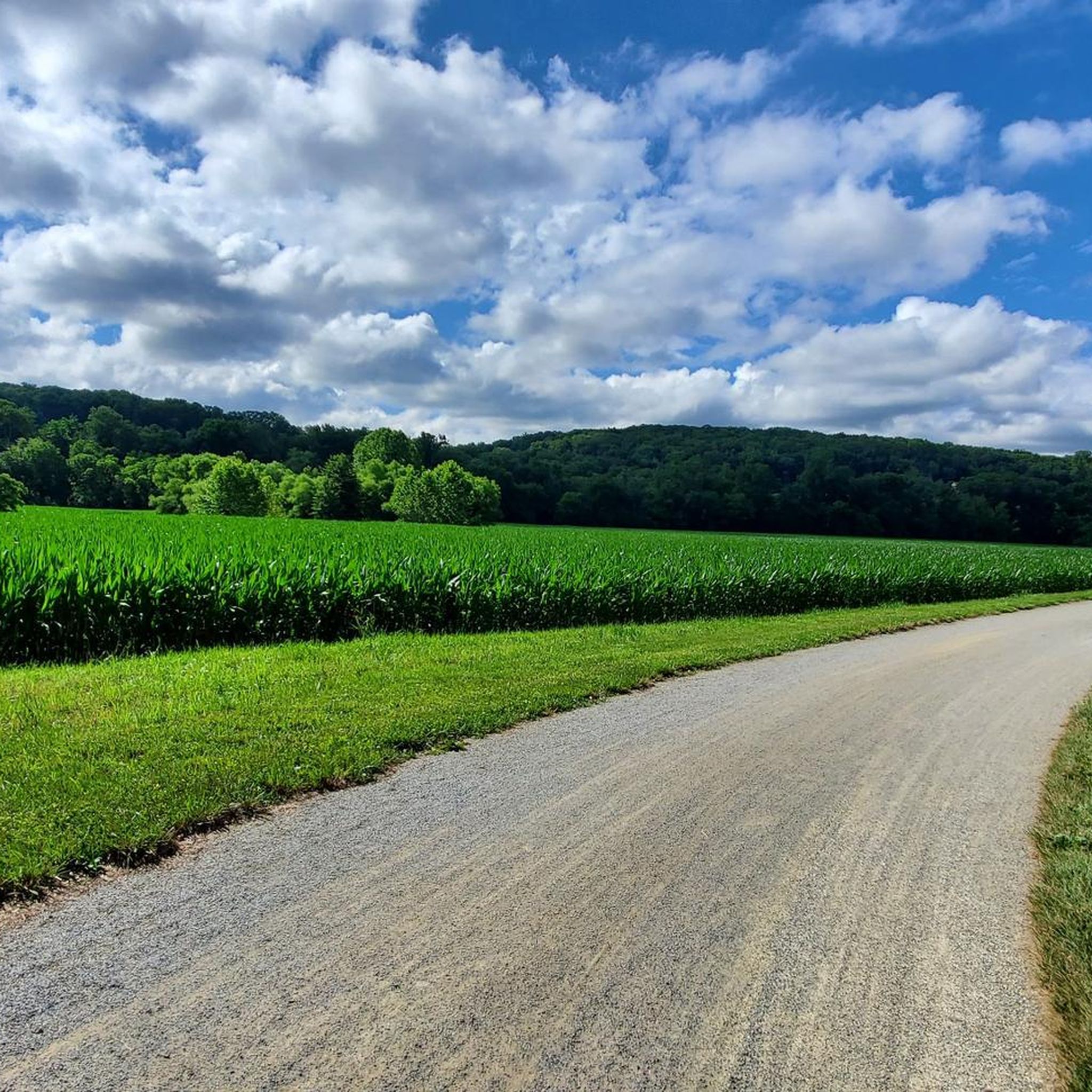
Road cycling routes around Queens Gate traverse a landscape characterized by a mix of historic rail trails and rolling terrain with notable elevation changes. The region features river valleys and agricultural lands, offering varied scenery for cyclists. Routes often include sections along former railway lines, providing smoother, flatter stretches, interspersed with climbs through forested areas and open countryside. This diverse topography provides a range of experiences for road cyclists.
Best road cycling routes around Queens Gate
- The most popular road…
Last updated: June 28, 2026
13
riders
117km
05:02
630m
630m
Hard road ride. Very good fitness required. Mostly well-paved surfaces and easy to ride.
5.0
(1)
4
riders
38.5km
02:01
460m
460m
Moderate road ride. Good fitness required. Mostly well-paved surfaces and easy to ride.

Sign up for free
6
riders
Moderate road ride. Good fitness required. Mostly well-paved surfaces and easy to ride.
3
riders
51.9km
02:41
650m
650m
Moderate road ride. Good fitness required. Some segments of this route may be unpaved and difficult to ride.
3
riders
55.1km
02:49
650m
650m
Moderate road ride. Good fitness required. Some segments of this route may be unpaved and difficult to ride.
Get access to more routes and recommendations from other explorers.
Sign up for free
Already have an account?
Our route recommendations are based on thousands of hikes, rides, and runs completed by other people on komoot.
Start today with a free account
Your next adventure awaits.
Login or Signup




Tips from the Community


Here the bike path crosses scenic Chiques Creek. You can see the remnants of the Hiestand Saw Mill and Dam on the northwest side of the river.
0
0

York boasts a rich history as a temporary haven for the Continental Congress in 1777. During this time, the Articles of Confederation were drafted here, making York the birthplace of this crucial document and the place where the phrase “The United States of America” was first uttered!
0
0
The Heritage Rail Trail follows the path of a historic railroad line that was built in the 1800s and remained operational until 1972. As you travel the trail, you'll be surrounded by rolling hills, farmland, and on this portion you have the opportunity to enjoy the refreshing shade of a variety of trees, and cross and enjoy the beauty of the South Branch Codorus Creek on several occasions.
0
0
The Seven Valleys park area boasts stunning views of the surrounding countryside. Here, the elevation gently rises, offering breathtaking panoramas of rolling hills and farmland. This also part of the restored Hanover Junction Station, a stop on the original rail line dating back to 1863.
0
0
The plaque, located at this bridge, marks the 40.39 mile on the Northern Central Railroad, now used by the NCR Trail. Simultaneously crossing over the South Branch Codorus Creek and Pleasant Valley Road, offering a unique perspective from this vantage point.
0
0
Originally named “Freedom” after the Free family, the town adopted its current moniker “New Freedom” in 1873 to avoid confusion with another existing town. The borough's heritage is evident in the remnants of its once-bustling railroad industry. Rolling hills and fertile farmland surround the borough, while charming homes and friendly residents create a welcoming atmosphere.
0
0

While the Susquehanna river trail is beautiful, parts of it can be muddy/flooded and sometimes impassable after heavy rain.
0
0
Frequently Asked Questions
How many road cycling routes are available around Queens Gate?
There are over 30 road cycling routes around Queens Gate, offering a diverse range of experiences for cyclists. The majority, 30 routes, are rated as moderate, with a few options for both easy and difficult rides.
What are the typical characteristics of road cycling routes in the Queens Gate area?
Road cycling routes around Queens Gate are characterized by a mix of historic rail trails and rolling terrain. You'll find sections along former railway lines that offer smoother, flatter stretches, interspersed with climbs through forested areas and open countryside, often featuring notable elevation changes. The region includes river valleys and agricultural lands, providing varied scenery.
Are there routes suitable for beginners or those looking for an easier ride?
Yes, while most routes are moderate, there are 2 routes specifically rated as easy. These typically feature less elevation gain and shorter distances, making them ideal for beginners or a more relaxed ride.
What kind of challenges can advanced road cyclists expect around Queens Gate?
Advanced road cyclists can find challenging routes with significant elevation gain. For example, the 9/11 National Memorial Trail (Pennsylvania Loop) is a difficult 72.7-mile route with over 600 meters of elevation gain, traversing varied Pennsylvania landscapes.
What do other road cyclists enjoy most about the routes in Queens Gate?
The road cycling routes in Queens Gate are highly rated by the komoot community, with an average score of 5.0 stars. Cyclists often praise the varied terrain, which combines historic rail trails with scenic rolling hills, and the opportunities to explore river valleys and agricultural lands.
Are there any circular road cycling routes in the area?
Yes, many routes around Queens Gate are designed as loops, allowing you to start and finish in the same location. An example is the Mount Pisgah loop from Springettsbury Township, a 23.9-mile trail through hilly terrain.
What are some notable landmarks or attractions I might see while cycling?
While cycling around Queens Gate, you might encounter several interesting points. The Howard Tunnel is a historic highlight. You can also explore sections of the Heritage Rail Trail at North York or pass through areas near William Kain County Park.
Are there any routes that combine rail trails with more challenging terrain?
Absolutely. Many routes in the Queens Gate area blend the smooth, flatter sections of historic rail trails with more challenging rolling hills. The New Freedom Rail Trail – York loop from York is a moderate 53.2-mile path that exemplifies this mix, offering both rail trail segments and hilly sections around the York area.
What is the longest road cycling route available around Queens Gate?
The longest route listed is the 9/11 National Memorial Trail (Pennsylvania Loop), which spans 72.7 miles (117.0 km) and is rated as difficult due to its significant elevation gain.
Can I find routes that offer scenic views of rivers or agricultural landscapes?
Yes, the Queens Gate region is known for its river valleys and agricultural lands. Many routes will take you through open countryside with views of farms and along rivers, providing picturesque scenery throughout your ride.
Is there a route that passes by the Safe Harbor Railroad Bridge?
Yes, the Safe Harbor Railroad Bridge – White Cliffs of Conoy loop from Springettsbury Township is a moderate 71.2-mile route that will take you past this notable landmark.
Most popular attractions around Queens Gate

Get inspired with the komoot mobile app


Explore more
Browse the best Road cycling routes in other regions.
