The best running trails around Pleasureville
4.0
(1)
103
runners
14
runs
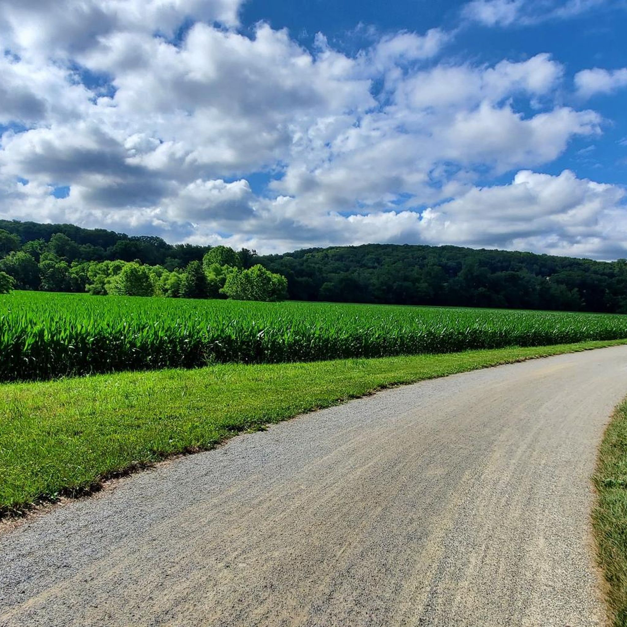
Jogging routes around Pleasureville are set within Shelby County's countryside, characterized by rolling hills and agricultural landscapes. The region offers a serene backdrop for outdoor activities, with natural trails and paved paths available in nearby parks. Its location provides access to diverse natural settings suitable for running, including forested areas and varied terrain.
Best jogging routes around Pleasureville
- The most popular jogging route is John Rudy Park – Bixler House loop from Pleasureville, a 5.2 miles (8.4 km) trail…
Last updated: June 28, 2026
16
runners
12.9km
01:20
50m
50m
Moderate run. Good fitness required. Mostly paved surfaces. Suitable for all skill levels.
15
runners
11.7km
01:13
80m
80m
Moderate run. Good fitness required. Mostly paved surfaces. Suitable for all skill levels.

Sign up for free
11
runners
7.33km
00:46
50m
50m
Moderate run. Good fitness required. Mostly paved surfaces. Suitable for all skill levels.
8
runners
14.0km
01:42
200m
200m
Moderate run. Good fitness required. Mostly paved surfaces. Suitable for all skill levels.
6
runners
9.38km
00:59
110m
110m
Moderate run. Good fitness required. Mostly paved surfaces. Suitable for all skill levels.
Get access to more routes and recommendations from other explorers.
Sign up for free
Already have an account?
Our route recommendations are based on thousands of hikes, rides, and runs completed by other people on komoot.
Start today with a free account
Your next adventure awaits.
Login or Signup



Tips from the Community

John Rudy Park is a great 150 acre public park. It has benches, a picnic area and restrooms. It is also one of the trail heads for the York County Heritage Trail.
1
0

This historic farmstead, once owned by Michael and Magdealena Bixler, was listed on the National Register of Historic Places in 2000. The house itself now serves as the main office of the York County Parks Department, and the surrounding area is a public park.
1
0
This historic farmstead, once owned by Michael and Magdealena Bixler, was listed on the National Register of Historic Places in 2000. The house itself now serves as the main office of the York County Parks Department, and the surrounding area is a public park.
1
0
Rocky Ridge Park boasts two scenic observation decks. This one, on the north side, offers breathtaking views of the Susquehanna Valley, while the south deck showcases the picturesque York Valley. Both provide opportunities to witness stunning sunrises and sunsets.
0
0
The Heritage Rail Trail follows the path of a historic railroad line that was built in the 1800s and remained operational until 1972. As you travel the trail, you'll be surrounded by rolling hills, farmland, and on this portion you have the opportunity to enjoy the refreshing shade of a variety of trees, and cross and enjoy the beauty of the South Branch Codorus Creek on several occasions.
0
0

Rocky Ridge has beautiful trails for novice riders and also a few more difficult trails for intermediate riders. Altogether the park features over twelve miles of trails for hikers, horseback riders and mountain bikers.
1
0
Frequently Asked Questions
How many jogging routes are available around Pleasureville?
There are over 15 dedicated jogging routes around Pleasureville, offering a variety of experiences for runners. These routes are highly rated by the komoot community, with an average score of 4.0 stars.
What kind of terrain can I expect on running routes around Pleasureville?
Jogging routes around Pleasureville are characterized by rolling hills and agricultural landscapes, providing a serene backdrop. You'll find a mix of natural trails and paved paths, particularly in nearby parks like Shelbyville's Greenway Trail, which follows Clear Creek, and the natural trails at Red Orchard Park.
Are there any circular running routes available near Pleasureville?
Yes, many routes around Pleasureville are designed as loops. For example, you can enjoy the John Rudy Park – Bixler House loop from Pleasureville, a moderate 5.2-mile (8.4 km) trail, or the longer North Observation Deck – South Observation Deck loop from Glades, which spans 6.2 miles (9.9 km).
Are there running routes suitable for beginners or those looking for an easy jog?
Absolutely. While many routes are moderate, there are 3 easy jogging routes available around Pleasureville. These trails offer a gentler experience, perfect for beginners or a relaxed run through the local scenery.
What natural landmarks or points of interest can I see while running near Pleasureville?
While Pleasureville itself is a smaller community, its proximity to Shelby County offers access to scenic spots. You can explore areas like the Northwest Lancaster County River Trail or discover natural beauty at the White Cliffs of Conoy. The region's charm lies in its rolling hills and agricultural landscapes.
Can I bring my dog on the running trails around Pleasureville?
Many outdoor areas in Kentucky are dog-friendly, but it's always best to check specific park regulations. For instance, natural trails at parks like Red Orchard Park or Shelby Trails Park often welcome leashed dogs. Always ensure your dog is on a leash and you clean up after them.
Is there parking available near the running trails in Pleasureville?
Yes, parking is generally available at trailheads and parks in the vicinity of Pleasureville. For example, parks like Red Orchard Park and Shelby Trails Park in Shelby County offer designated parking areas for visitors accessing their trails.
Are there any paved or shaded trails for running in the area?
Yes, the Greenway Trail in Shelbyville, located north of downtown, offers a concrete/paved path that is approximately one mile long. This trail is shaded and follows Clear Creek, providing a pleasant environment for a run, especially on warmer days.
What do other runners enjoy most about jogging in Pleasureville?
The komoot community highly rates the running experience around Pleasureville, with an average score of 4.0 stars. Runners often praise the serene backdrop of rolling hills and agricultural landscapes, the variety of natural and paved trails, and the overall peaceful atmosphere for outdoor activity.
Are there longer running routes for more experienced runners?
Yes, for those seeking a longer challenge, routes like the North Observation Deck – South Observation Deck loop from Glades offer a moderate 6.2-mile (9.9 km) path with varied terrain. There is also one difficult route available for experienced runners looking for a more strenuous workout.
What is the best season for jogging in Pleasureville?
Pleasureville's charming countryside is enjoyable throughout much of the year. Spring and fall offer pleasant temperatures and beautiful scenery with blooming flowers or vibrant foliage. Summer can be warm, making shaded trails like the Greenway Trail ideal, while winter runs can be invigorating, though conditions may vary.
Are the jogging routes around Pleasureville suitable for families?
Many of the parks and trails in Shelby County, accessible from Pleasureville, are suitable for families. The paved Greenway Trail in Shelbyville is excellent for all ages, and the natural trails at Red Orchard Park offer a great way for families to enjoy the outdoors together. Always consider the length and difficulty of a specific route when planning with children.
Where can I find more information about outdoor activities in Shelby County?
For more details on outdoor adventures and recreational opportunities in Shelby County, you can visit the official tourism website. Check out resources like this outdoor adventure guide or information on specific trails like the Greenway Trails.
Most popular routes around Pleasureville
Most popular attractions around Pleasureville

Get inspired with the komoot mobile app


Explore more
Browse the best Running Trails & Routes in other regions.
