The best walks and hikes around Mont Clare
4.8
(34)
739
hikers
84
hikes
Hiking around Mont Clare PA offers routes through historic landscapes and along prominent waterways. The area is characterized by the rolling hills and woodlands of Valley Forge National Historical Park and paths that follow the Schuylkill River. This combination of features provides a varied network of trails suitable for different fitness levels.
Best hiking trails around Mont Clare
- The most popular hiking route is Horse-Shoe Trail to Mount Misery — Valley Forge National Historical Park, a 5.1 mile (8.2…
Last updated: October 2, 2026
5
hikers
5.31km
01:24
40m
50m
The Grand Parade Trails offer an easy 3.3-mile (5.3 km) loop that takes you through a truly unique desert landscape, perfect for beginners or a relaxing family outing. With only…
3
hikers
12.8km
03:31
190m
210m
Embark on the Mount Joy and Joseph Plumb Martin Trail Loop for a moderate hike spanning 8.0 miles (12.8 km) with an elevation gain of 630 feet (192 metres). This…

3
hikers
2.05km
00:32
10m
20m
The Charlestown Township Park offers a delightful and accessible hiking experience, primarily along a one-mile paved loop that winds through 52 acres of open grass and landscaped areas. You'll encounter…
2
hikers
1.14km
00:18
10m
20m
Step back in time on the Washington's Headquarters Loop, an easy 0.7-mile (1.1 km) hiking trail that winds through the historic grounds of Valley Forge National Historical Park. With only…
1
hikers
2.70km
00:42
10m
20m
The Commissary and Fatlands Trail Loop offers a delightful blend of history and nature within Valley Forge National Historical Park. You'll traverse flat gravel and dirt paths, winding along the…
Get access to more routes and recommendations from other explorers.
Already have an account?
Our route recommendations are based on thousands of hikes, rides, and runs completed by other people on komoot.
Start today with a free account
Your next adventure awaits.

Tips from the Community

George Washington's headquarters during the encampment at Valley Forge.
0
0

Valley Forge National Historical Park spans approximately 3,500 acres of meadows and woods adjacent to the Schuylkill River. It was historically sheltered George Washington's 12,000-man Continental Army during the brutal winter of 1777–78. Today, visitors can enjoy historic sites and monuments, a visitor center, programs, trails, outdoor activities, picnicking, and wildlife viewing, all of which are available free of charge.
0
0
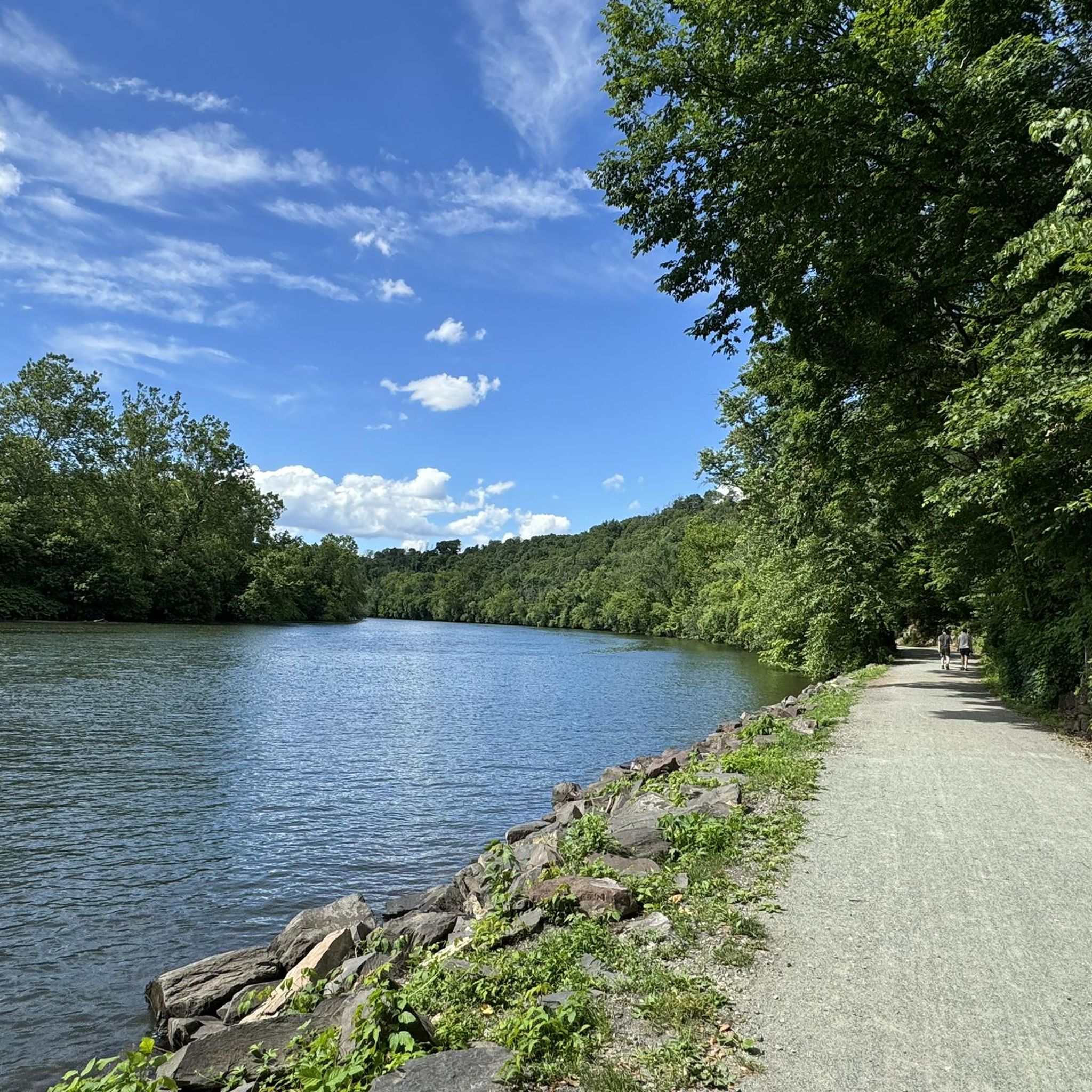
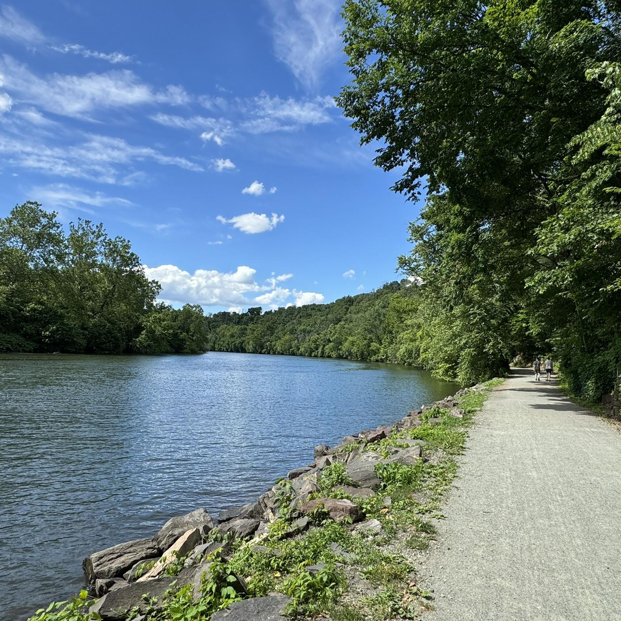
This is the eastern entry to Washington‘s Headquarters at Valley Forge National Park. If you would like to visit, bikes must be locked up, and you can walk around and see the historic buildings that were General George Washington's Headquarters during the Revolutionary War. If you don't want to go inside, this area also has a great view of the Schuylkill River and the surrounding the surrounding woods. It is also the end of the Chapel Trail.
0
0

Varnum's Quarters is a two-story stone house on the property. The Stephens family owned the house, but General Varnum and six of his staff quartered in the house during part of the war.
0
0
Varnum's Quarters is a two-story stone house on the property. The Stephens family owned the house, but General Varnum and six of his staff quartered in the house during part of the war.
0
0
Frequently Asked Questions
Are there many hiking trails to choose from around Mont Clare?
Yes, there are over 50 designated hiking routes in the Mont Clare area. The trails range from easy, flat paths suitable for all fitness levels to more challenging moderate hikes with some elevation gain, primarily within Valley Forge National Historical Park and along the Schuylkill River.
What do other hikers think of the trails in this area?
The trails around Mont Clare are highly regarded by the komoot community, earning an average rating of 4.8 out of 5 stars. Hikers often praise the combination of historical scenery in Valley Forge and the peaceful riverside paths.
Are there any easy, family-friendly hikes near Mont Clare?
Absolutely. The region has many easy trails perfect for families and beginners. A great option is the General von Steuben Statue – Varnum's Quarters loop from Valley Forge, which is a relatively flat walk that takes you past several historical points of interest.
Can I bring my dog on the hiking trails?
Yes, dogs are welcome on most trails in the Mont Clare area, including those within Valley Forge National Historical Park and along the Schuylkill River Trail. However, they must be kept on a leash no longer than 6 feet at all times. Always be prepared to clean up after your pet.
Where can I find a good circular or loop trail?
The area is excellent for loop hikes, especially within Valley Forge. For a moderate challenge, consider the Hiking loop from Valley Forge. This route offers a varied experience through the park's woodlands and historic fields without needing to backtrack.
What are the main differences between hiking on Mount Joy and Mount Misery?
Both hills are within Valley Forge and offer forested, unpaved trails. The trails on Mount Joy are generally considered shorter and less strenuous, making them a good option for a quicker hike. Mount Misery features steeper sections and a more rugged path, providing a greater challenge and a more immersive woodland experience.
Is there free parking available at the trailheads?
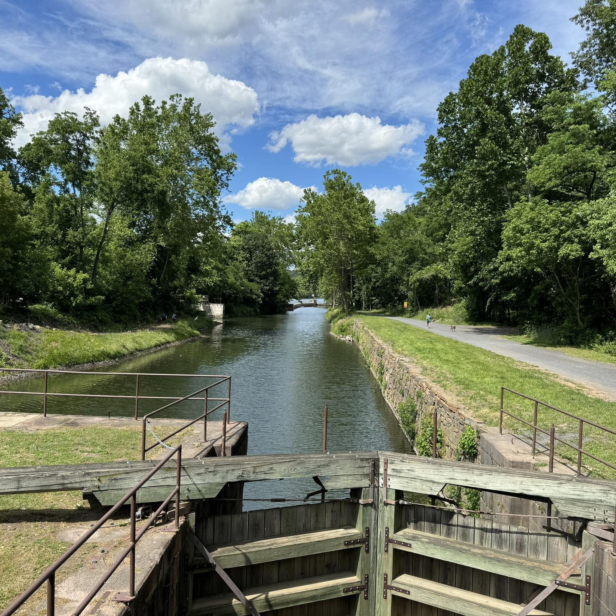
Yes, Valley Forge National Historical Park offers numerous free parking lots throughout the park, providing convenient access to the trail system. You can also find parking at access points for the Schuylkill River Trail, such as the lot at the Lock 60 Recreation Area.
Are there any hikes with waterfalls in the Mont Clare area?
The immediate Mont Clare and Valley Forge area is not known for significant waterfalls, as the landscape is defined more by rolling hills and riverbanks. Hikes here focus on historical landmarks and woodland scenery rather than cascades.
Can I access the trails using public transport?
Accessing the trailheads directly via public transport can be challenging. SEPTA bus routes serve the general vicinity of Valley Forge and Phoenixville, but you may still need a considerable walk or a taxi to reach specific trail starting points. Driving is the most convenient way to access the main hiking areas.
What should I pack for a day hike in this region?
For a day hike, wear sturdy walking shoes or boots, as some trails can be rocky and uneven. Bring plenty of water, especially in summer. It's also wise to pack snacks, a map of the park or your route, sunscreen, and insect repellent. A light rain jacket is recommended as the weather can change.
Are the trails suitable for trail running?
Yes, many trails are popular with runners. The paved Joseph Plumb Martin Trail and the flat Schuylkill River Trail are ideal for a smooth, consistent run. For more of a challenge, the dirt trails on Mount Joy and Mount Misery offer elevation and varied terrain.
Where can I get more information on the trails inside Valley Forge Park?
For detailed official information, including trail conditions, closures, and park regulations, it's best to consult the National Park Service website. You can find maps and alerts on their dedicated trails page for Valley Forge: nps.gov/vafo/planyourvisit/trails.htm.
Most popular attractions around Mont Clare

Get inspired with the komoot mobile app


Explore more
Browse the best Hikes in other regions.
