The best walks and hikes around Mckinley
4.9
(34)
684
hikers
25
hikes
Hikes around Mckinley are characterized by routes that follow creeks and rivers through extensive parklands. The terrain primarily consists of wooded areas with well-defined paths, gentle elevation changes, and loops that explore local green spaces like Pennypack Park and Wissahickon Valley Park. These trails offer a natural escape within a suburban and urban context.
Best hiking trails around Mckinley
- The most popular hiking route is Pennypack Trail loop — Pennypack Park, a 7.9 mile (12.7 km) trail that takes about 3 hours 15 minutes to complete. This moderate route follows the course of Pennypack Creek.
- Another top favourite among local hiking enthusiasts is Lorimer Park loop — Philadelphia, an easy 4.0 mile (6.5 km) path. The trail explores the woodlands of Lorimer Park, often completed in under 2 hours.
- Local hiking enthusiasts also love the Devil's Pool via Cresheim Trail loop — Wissahickon Valley Park, a 4.5 mile (7.2 km) trail leading through Wissahickon Valley Park, often completed in about 2 hours.
- Hiking around Mckinley is defined by riverside paths, forested parklands, and gentle trail systems. The network of routes provides accessible options for various fitness levels, from short, easy walks to longer, moderate hikes.
- The routes in Mckinley are highly rated by the komoot community with an average score of 4.9 stars from more than 25 reviews. More than 600 hikers have used komoot to explore Mckinley's varied terrain.
Last updated: May 16, 2026
8
hikers
5.68km
01:35
70m
110m
Moderate hike. Great for any fitness level. Mostly accessible paths. Sure-footedness required.
1
hikers
64.2km
16:42
400m
430m
Hard hike. Very good fitness required. Easily-accessible paths. Suitable for all skill levels.

Sign up for free
6.60km
01:45
70m
70m
Easy hike. Great for any fitness level. Easily-accessible paths. Suitable for all skill levels.
1.86km
00:30
20m
20m
Easy hike. Great for any fitness level. Easily-accessible paths. Suitable for all skill levels.
7
hikers
12.7km
03:17
70m
70m
Moderate hike. Good fitness required. Easily-accessible paths. Suitable for all skill levels.
Get access to more routes and recommendations from other explorers.
Sign up for free
Already have an account?
Our route recommendations are based on thousands of hikes, rides, and runs completed by other people on komoot.
Start today with a free account
Your next adventure awaits.
Login or Signup



Tips from the Community

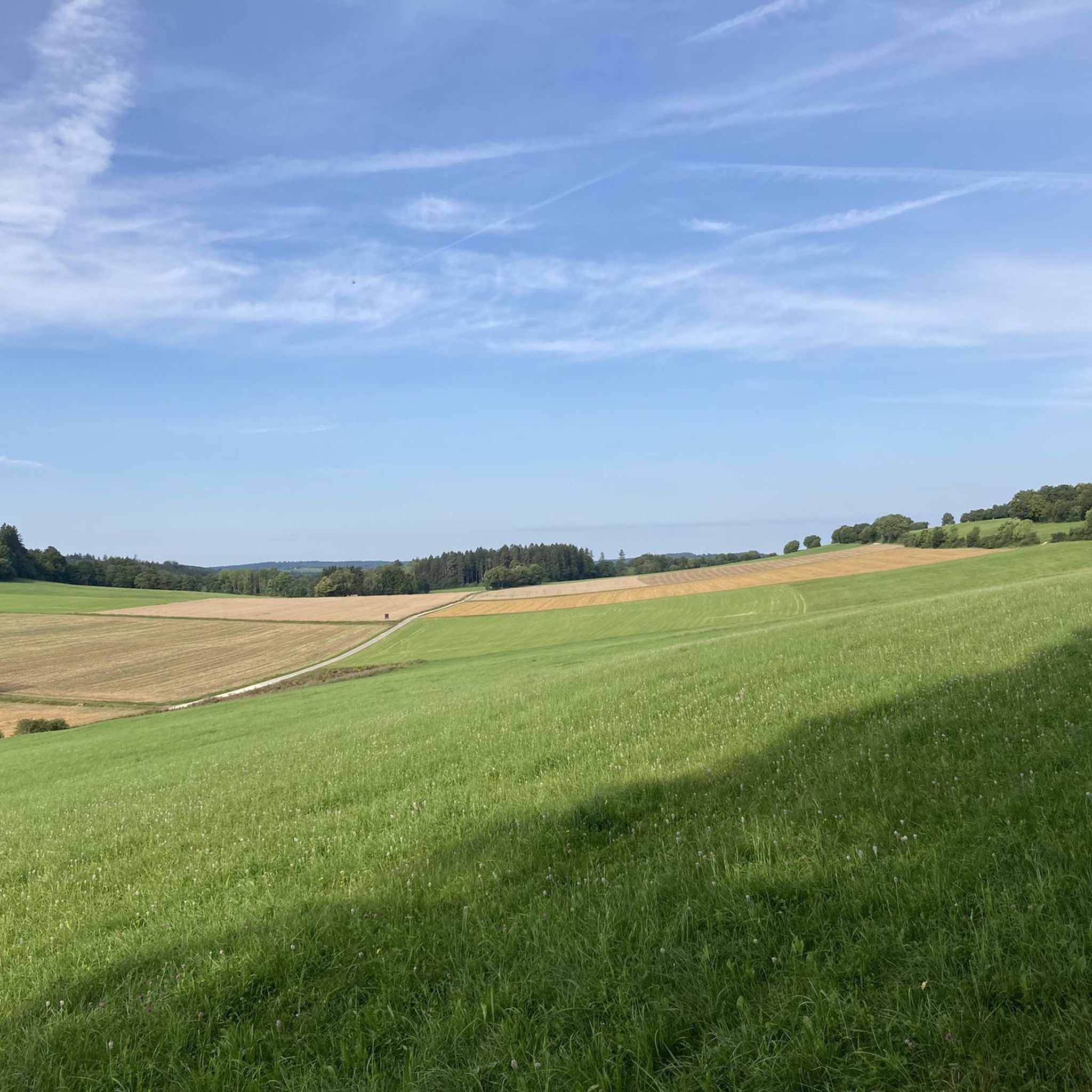
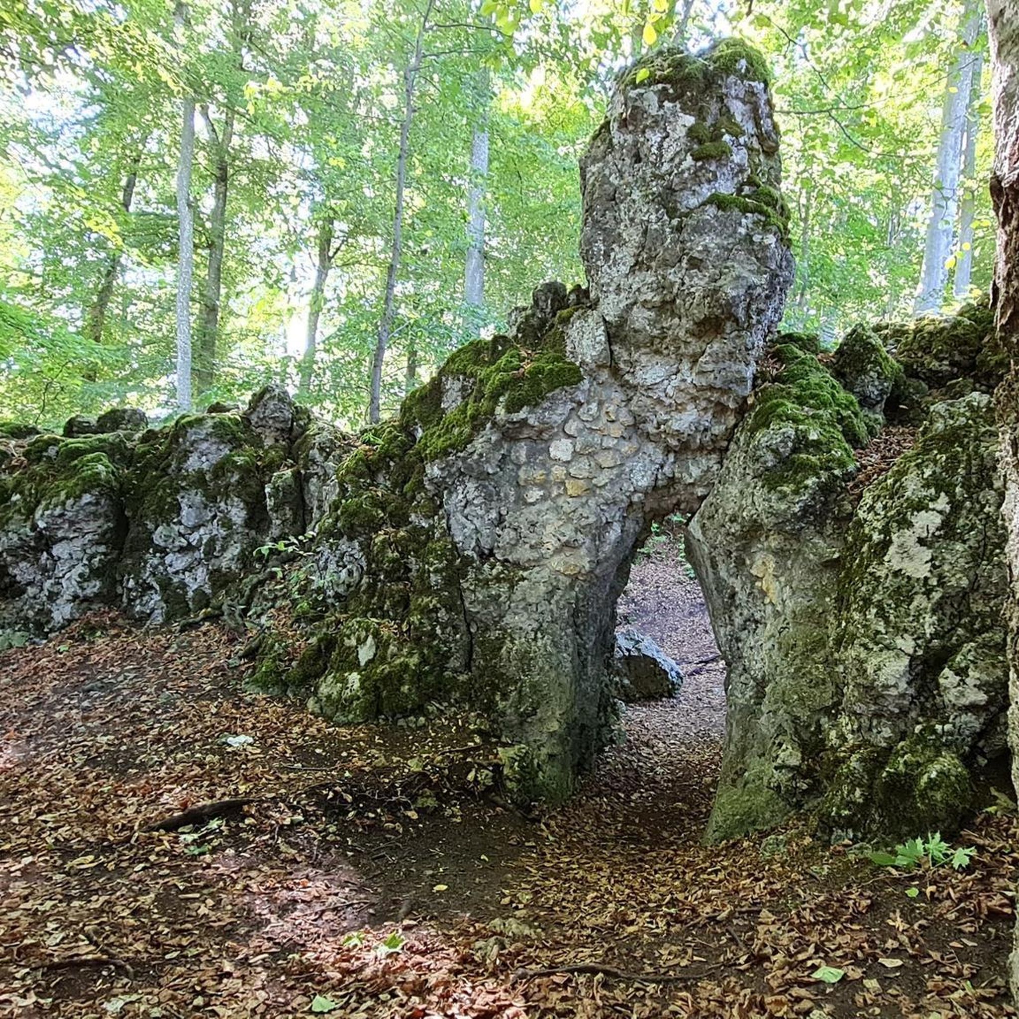
This trail provides a paved and nicely shaded hiking route, surrounded by lush scenery in every direction. It follows the Penny Pack Creek, meandering alongside it throughout the entire journey, adding to its charming appeal.
0
0
Frequently Asked Questions
What is the general terrain like for hiking around Mckinley?
The hiking trails around Mckinley are primarily located within large, wooded parklands like Pennypack Park and Wissahickon Valley Park. You can expect well-defined paths that often follow creeks and rivers, with mostly gentle elevation changes. It's a great area for enjoying nature without venturing far from the city.
Are there many easy hikes suitable for beginners or families?
Yes, about half of the trails in the area are rated as easy, making it very family-friendly. A great option is the Lorimer Park loop — Philadelphia, which is a relatively short walk through pleasant woodlands.
I'm looking for a more challenging day hike. What do you recommend?
For a longer and more engaging hike, consider the Devil's Pool – Kitchen's Lane bridge loop from Upsal. It's one of the more moderate routes in the area, offering a good distance and some elevation gain to make for a rewarding outing.
How many hiking trails are available in the Mckinley area?
There are around 20 curated hiking routes to explore around Mckinley. The collection includes a balanced mix of easy, moderate, and a few difficult trails, so there's something for nearly every fitness level.
What do other hikers think of the trails around Mckinley?
The trails are very highly regarded by the komoot community, which has given the area an average rating of nearly 5 stars. Hikers often praise the beautiful riverside paths and the peaceful atmosphere of the extensive park systems.
Are there any circular or loop trails available?
Yes, many of the most popular routes are loops, allowing you to start and end in the same place without retracing your steps. The Pennypack Trail loop via Rhawn Street Trailhead is an excellent example of an easy circular walk.
Can I see any interesting natural features like waterfalls or pools?
Yes, the Devil's Pool via Cresheim Trail loop is a popular hike that leads to a well-known local water feature at the confluence of two creeks within Wissahickon Valley Park.
What should I pack for a day hike in this area?
For most trails, comfortable walking shoes are sufficient as the paths are generally well-maintained. Always bring water and a snack. Since many routes are in wooded areas near creeks, insect repellent can be useful, especially in warmer months. A map or the komoot app is also recommended to navigate the various park trails.
Is it possible to get to the trailheads using public transport?
Many trailheads, particularly those for Wissahickon Valley Park and Pennypack Park, are accessible via Philadelphia's public transit system (SEPTA). For example, the Upsal train station is a common starting point for hikes into the Wissahickon. It's best to check specific transit routes to the trailhead you plan to visit.
Where can I find parking for these hikes?
The major parks like Pennypack, Wissahickon, and Lorimer have designated parking areas near popular trailheads. For instance, the Pennypack Trail loop has several access points with parking lots. These can get busy on weekends, so arriving earlier in the day is a good idea.
Are dogs allowed on the hiking trails?
In general, dogs are welcome in the parks around Mckinley, such as Wissahickon Valley Park and Pennypack Park, but they must be kept on a leash. Always check the specific park regulations before you go and be prepared to clean up after your pet.
Most popular attractions around Mckinley

Get inspired with the komoot mobile app


Explore more
Browse the best Hikes in other regions.
