The best walks and hikes around Eschenau im Hausruckkreis
4.6
(2279)
11,966
hikers
405
hikes
Hiking around Eschenau im Hausruckkreis offers a diverse landscape characterized by gentle hills, dense forests, and green meadows within the Hausruck-Nord region of Upper Austria. The terrain ranges from 360 to 500 meters above sea level, with a significant portion covered by the Hausruckwald. A prominent natural feature is the Schlögener Schlinge, a striking meander of the Danube, providing notable viewpoints.
Best hiking trails around Eschenau im Hausruckkreis
- The most popular hiking route is Leithental Viewpoint – View of the…
Last updated: July 5, 2026
4.8
(20)
87
hikers
4.42km
01:18
120m
120m
Easy hike. Great for any fitness level. Easily-accessible paths. Suitable for all skill levels.
4.8
(19)
87
hikers
4.46km
01:19
120m
120m
Easy hike. Great for any fitness level. Easily-accessible paths. Suitable for all skill levels.

Sign up for free
4.3
(3)
43
hikers
25.3km
07:30
720m
720m
Hard hike. Very good fitness required. Easily-accessible paths. Suitable for all skill levels.
4.7
(3)
10
hikers
Moderate hike. Good fitness required. Easily-accessible paths. Suitable for all skill levels.
6
hikers
5.15km
01:29
130m
130m
Easy hike. Great for any fitness level. Easily-accessible paths. Suitable for all skill levels.
Get access to more routes and recommendations from other explorers.
Sign up for free
Already have an account?
Our route recommendations are based on thousands of hikes, rides, and runs completed by other people on komoot.
Start today with a free account
Your next adventure awaits.
Login or Signup
Popular around Eschenau im Hausruckkreis

Tips from the Community

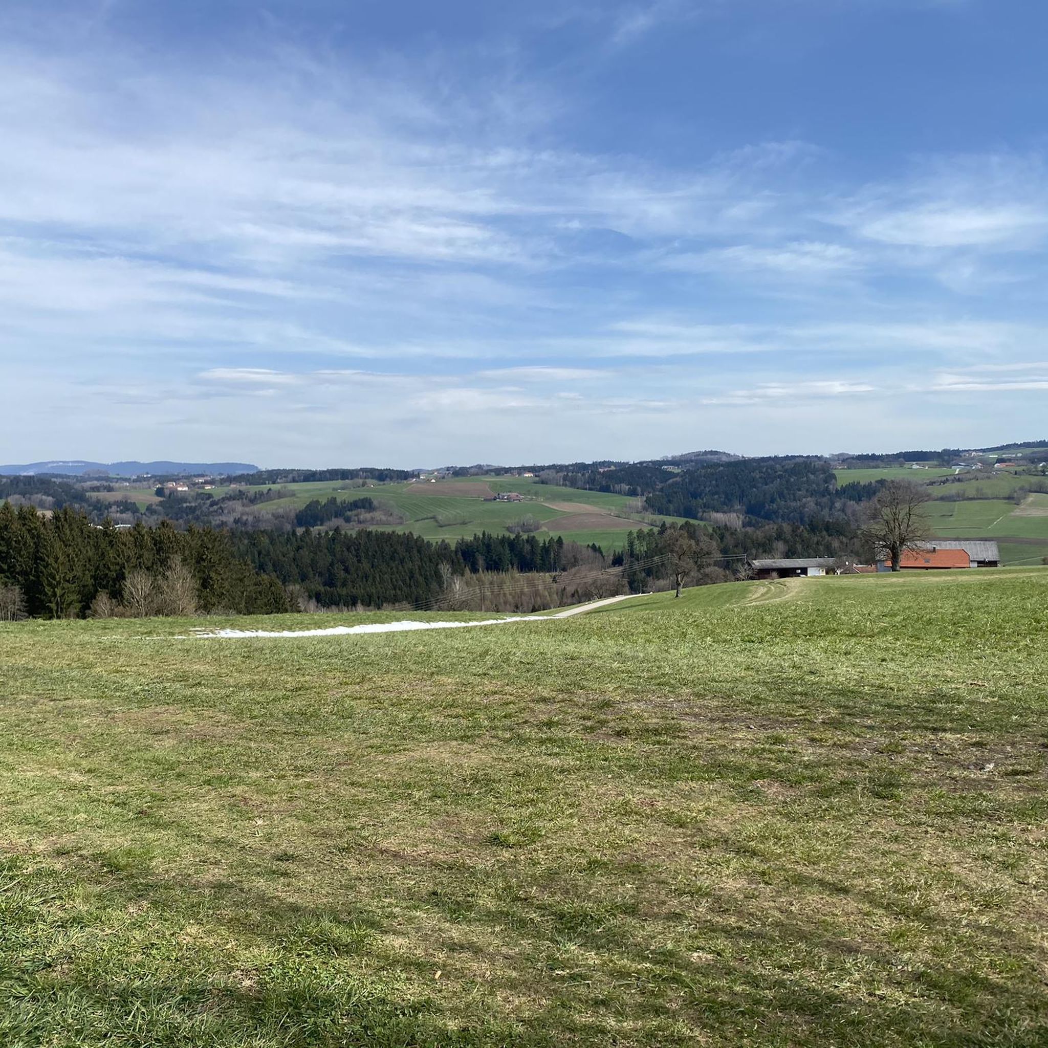
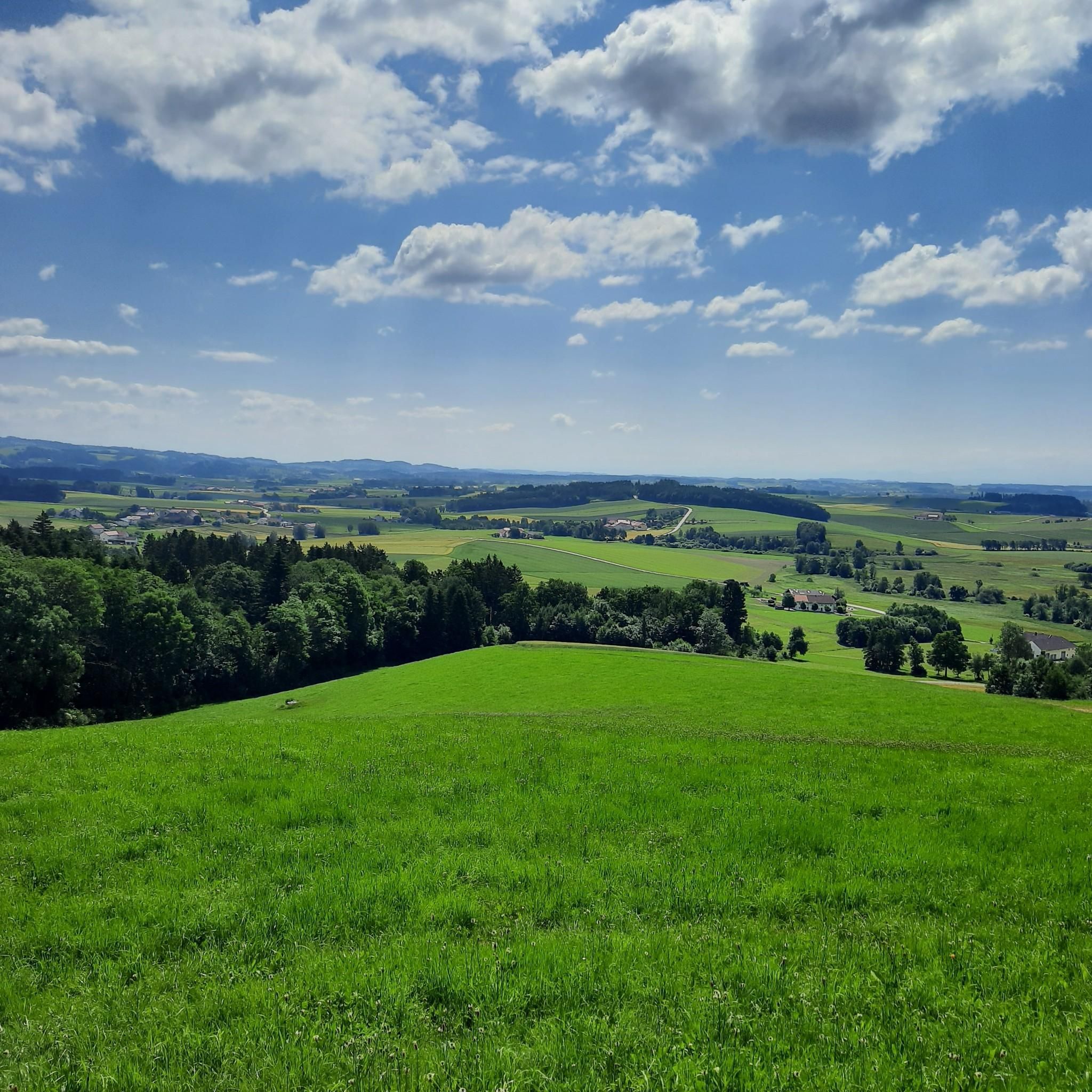
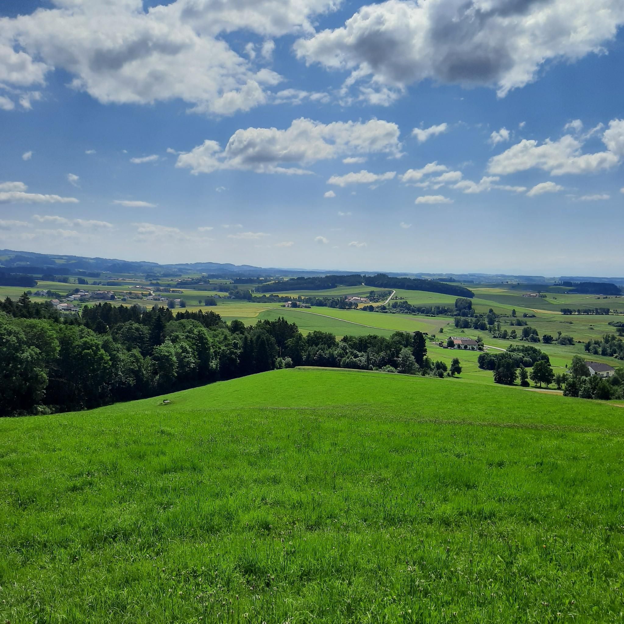
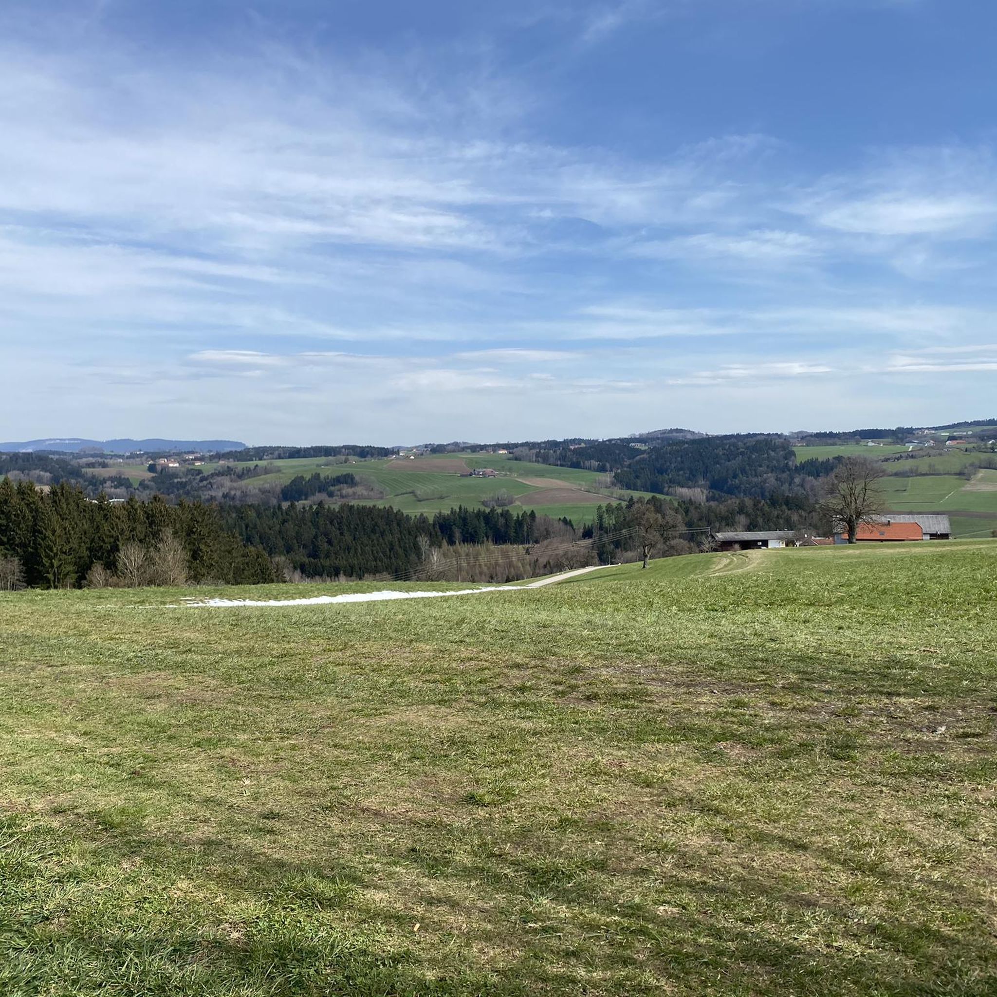
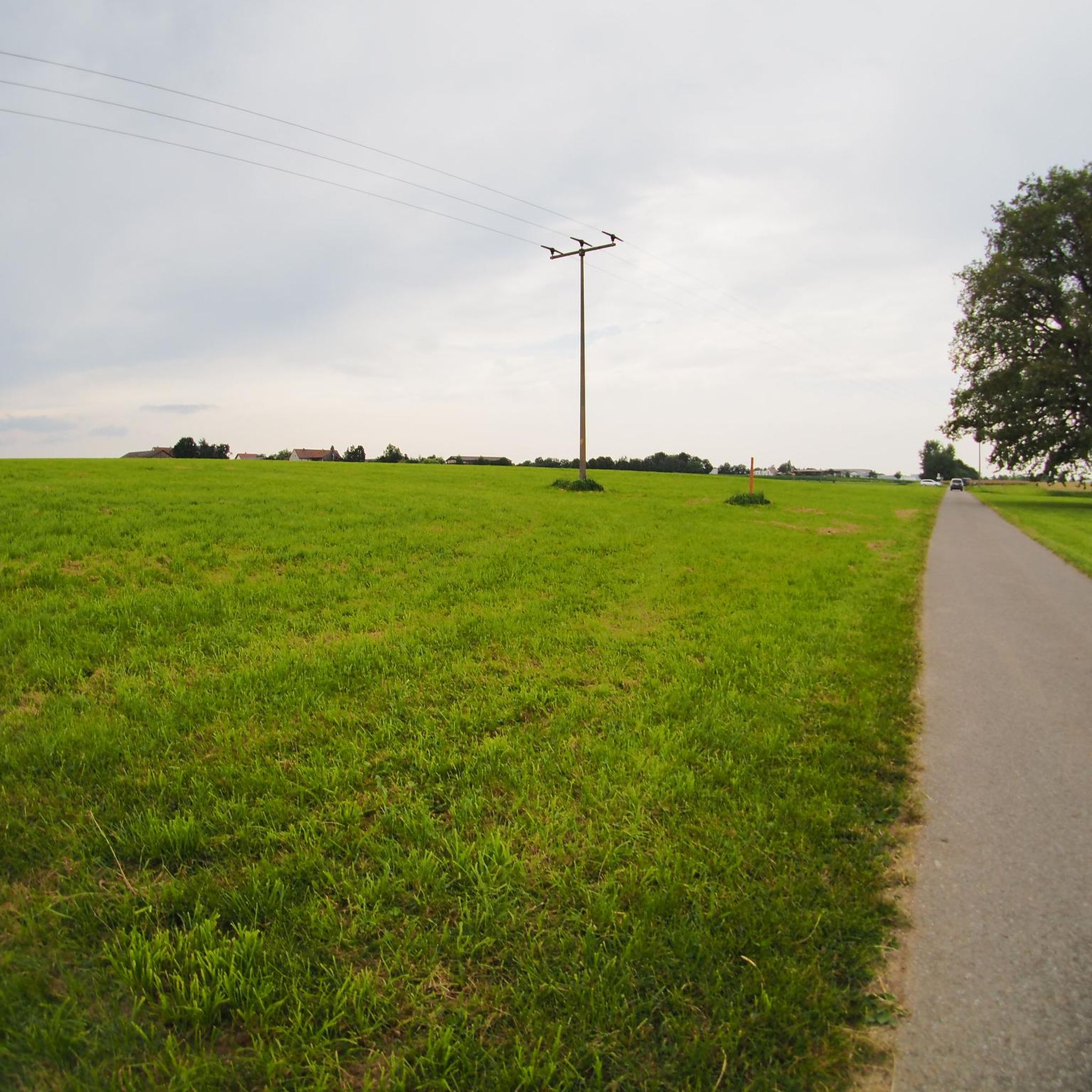
Hausruckviertel is a landscape in the southwestern central region of Upper Austria, named after the Hausruck ridge.
0
0
Moosbach Oberaubach from the Panoramaweg Süd.
0
0
Far-reaching view of Natternbach from the Panoramaweg Süd.
0
0
Panoramic view of Neukirchen am Walde from the hiking trail.
0
0
Singletrack with a view towards Heiligenberg Grieskirchen
0
0
Rest area at the viewpoint of the Panoramaweg Süd.
0
0
very beautiful viewpoint into the Leithenbachtal.
0
0
Oberaubach is located near the hamlet of Moosau as well as the village of Mitteraubach.
0
0
Frequently Asked Questions
How many hiking trails are available in Eschenau im Hausruckkreis?
There are over 400 hiking routes in and around Eschenau im Hausruckkreis, offering a wide variety of options for all skill levels. The komoot community has explored more than 11,000 routes in this area.
What is the typical terrain like for hiking in Eschenau im Hausruckkreis?
The region is characterized by a tranquil, largely untouched nature, featuring a gentle hilly landscape, dense forests, and green meadows. The terrain ranges from 360 to 500 meters above sea level, with a significant portion covered by the Hausruckwald.
What are the difficulty levels of hikes in Eschenau im Hausruckkreis?
You'll find a good mix of difficulties. There are approximately 180 easy routes, over 200 moderate trails, and about 20 more challenging hikes, ensuring options for every fitness level.
Are there any viewpoints with panoramic views in the area?
Yes, the region offers several stunning viewpoints. The most famous is the Schlögener Schlinge, where you can witness the dramatic oxbow bend of the Danube. Another notable spot is the "Schneiderbauerhöhe" viewpoint, which on clear days, offers expansive vistas extending as far as the Alps. For a specific route with views, consider the Paschinger Hügel Viewpoint – View of the Danube Bend loop from Neukirchen am Walde.
What do other hikers say about the trails in Eschenau im Hausruckkreis?
The trails in Eschenau im Hausruckkreis are highly regarded by the komoot community, with an average rating of 4.6 out of 5 stars from over 2,100 reviews. Hikers often praise the quiet woodlands, well-marked paths, and the diverse natural beauty, especially around the Schlögener Schlinge.
Are there family-friendly hiking options in Eschenau im Hausruckkreis?
Yes, many of the easy routes are suitable for families. The gentle hilly landscape and well-maintained paths make for pleasant walks. For example, the Romantic Forest Path loop from Achleiten is an easy option that takes you through pleasant forest scenery.
Can I bring my dog on the hiking trails?
Most hiking trails in Eschenau im Hausruckkreis are dog-friendly, especially those through forests and meadows. It's always recommended to keep your dog on a leash, particularly in areas with wildlife or near farmland, and to respect local regulations.
Are there circular hiking routes available?
Yes, many routes in the region are designed as loops, allowing you to start and end at the same point. An example is the Leithental Viewpoint – View of the Hausruckviertel loop from Leithen, which offers scenic views on a circular path.
What natural highlights can I expect to see while hiking?
The most prominent natural highlight is the breathtaking Schlögener Schlinge, a spectacular meander of the Danube. The broader landscape is defined by the Hausruckwald, offering dense forests and green meadows. You can also find interesting geological formations and various viewpoints.
Are there any historical or cultural attractions nearby?
Beyond the natural beauty, the region offers historical sites. You can explore several castle ruins, such as the Stauf Castle Ruins. There are also various other castles like Falkenstein Castle Ruins and Marsbach Castle in the wider area, offering glimpses into the region's past.
When is the best time of year to go hiking in Eschenau im Hausruckkreis?
The spring, summer, and autumn months generally offer the best conditions for hiking. Spring brings blooming nature, summer provides warm weather for longer days, and autumn showcases vibrant foliage. While winter hiking is possible, some paths might be icy or covered in snow, requiring appropriate gear.
Are there places to eat or drink along the trails?
While specific trailside cafes might be limited on some routes, the villages and towns within the Hausruckkreis, including Eschenau itself, offer various guesthouses and restaurants where hikers can refuel and enjoy local cuisine. It's advisable to check opening times, especially outside peak season.
Most popular routes around Eschenau im Hausruckkreis
Most popular attractions around Eschenau im Hausruckkreis

Get inspired with the komoot mobile app


Explore more
Browse the best Hikes in other regions.
