The best walks and hikes in Escaldes-Engordany
4.5
(2151)
18,343
hikers
61
hikes
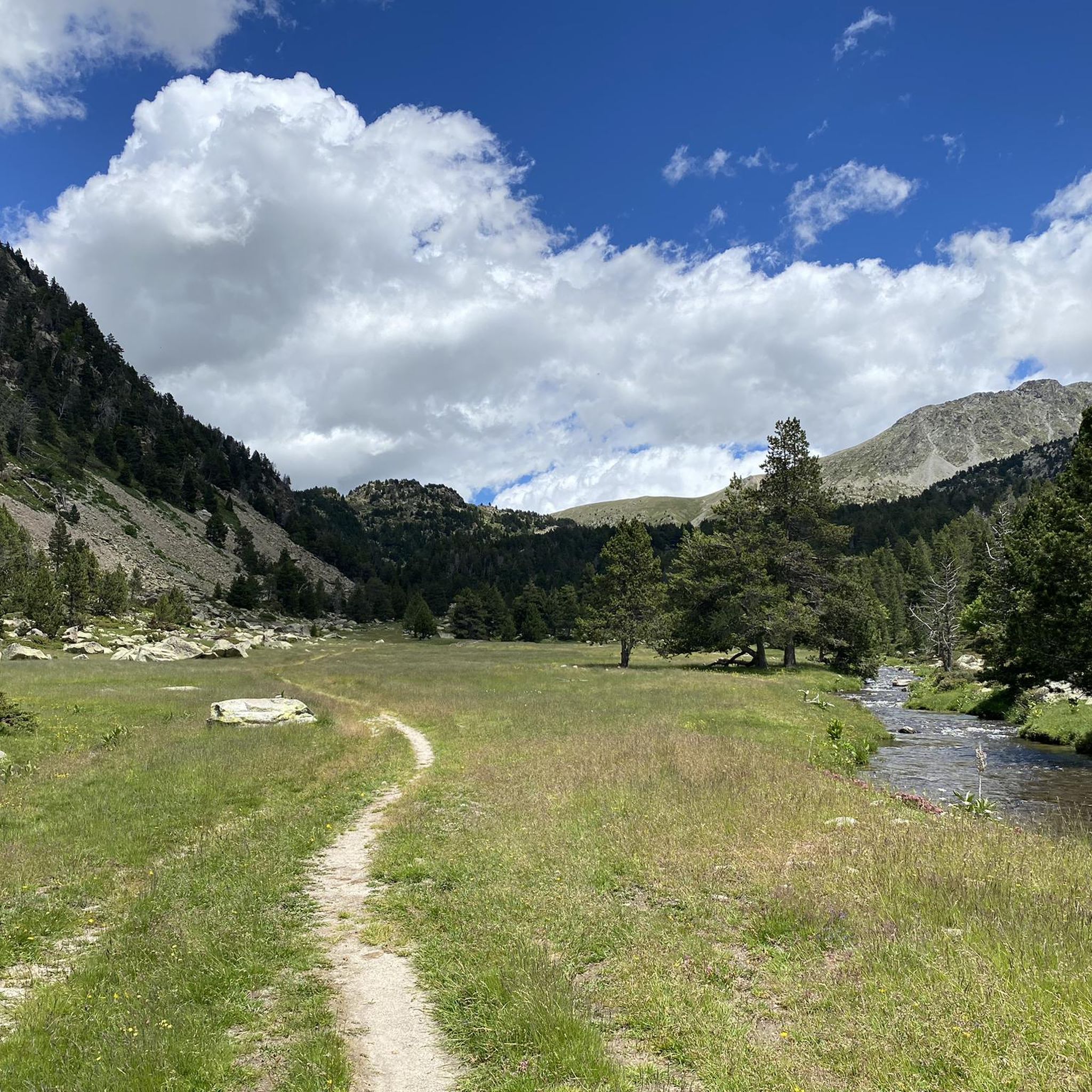
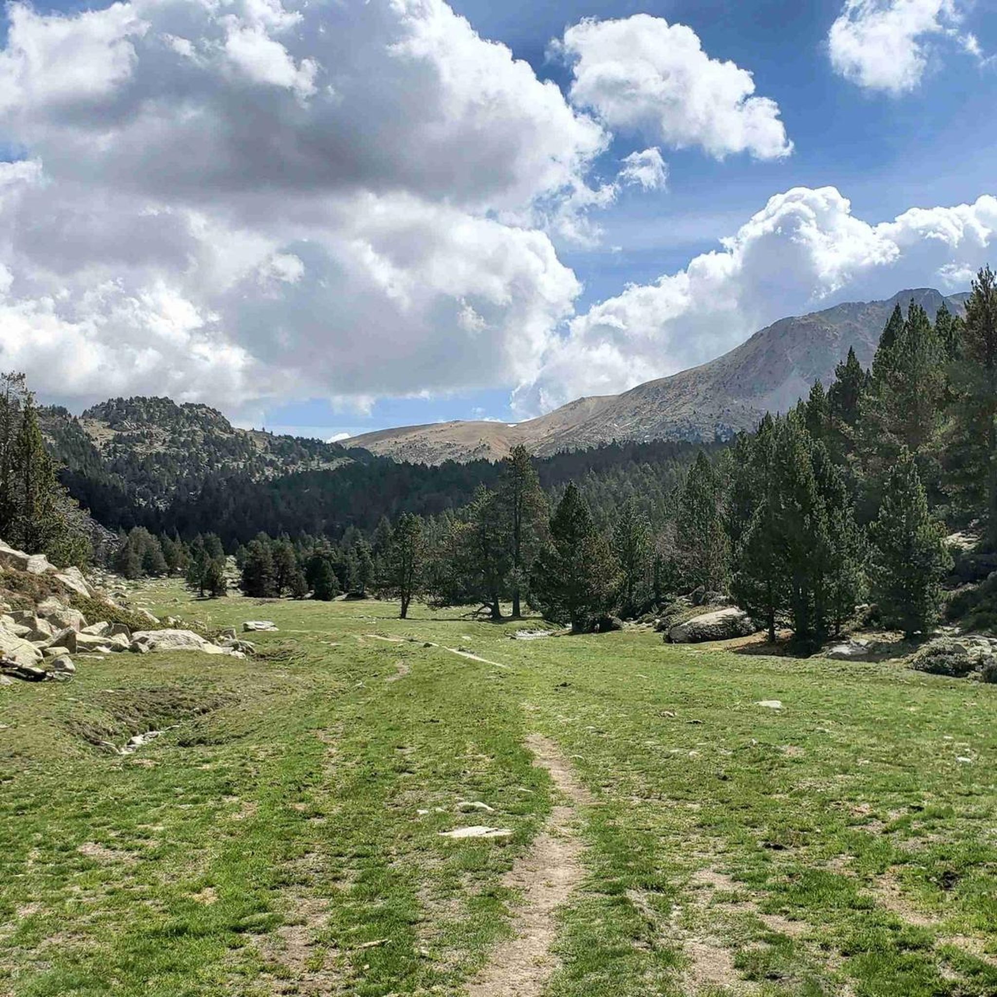
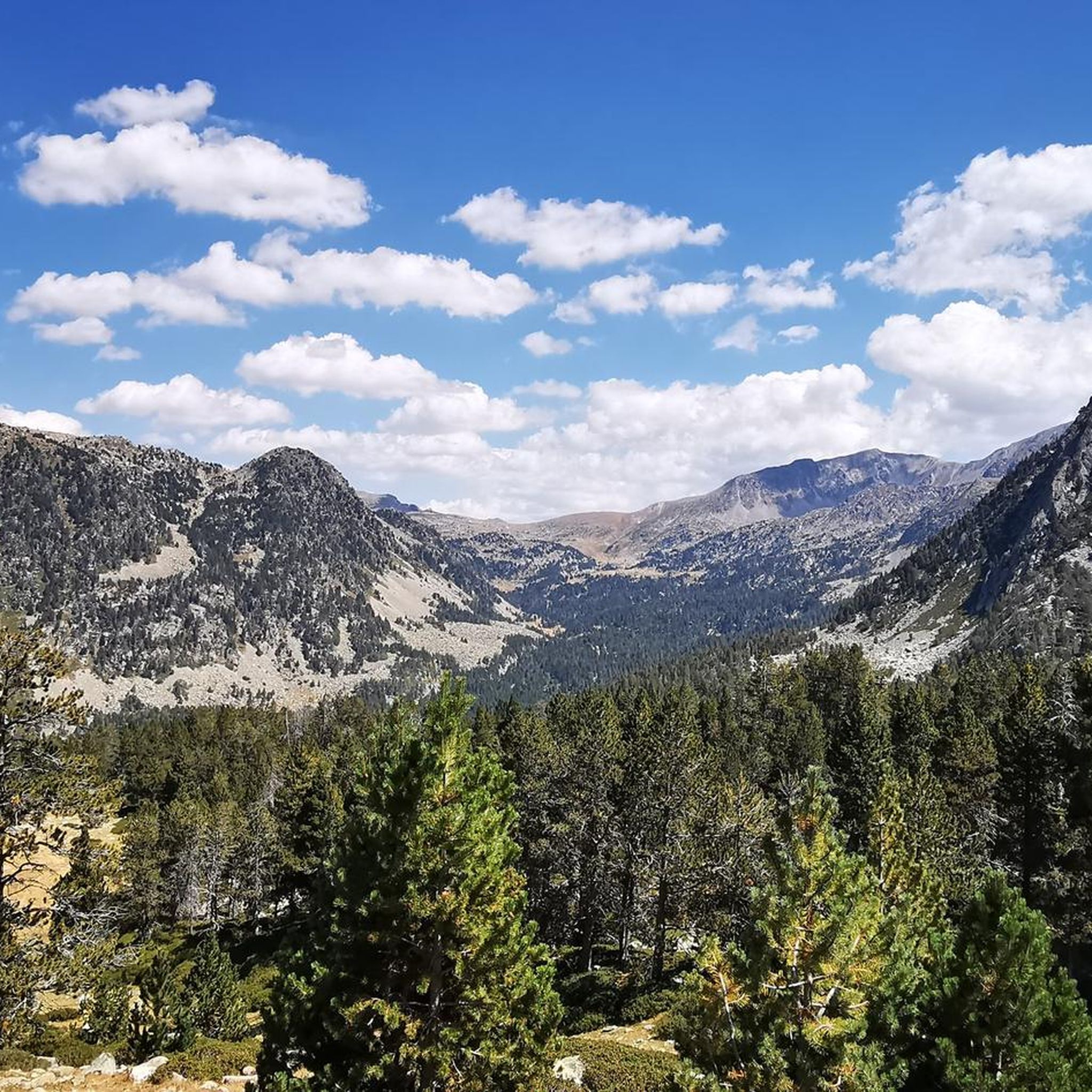
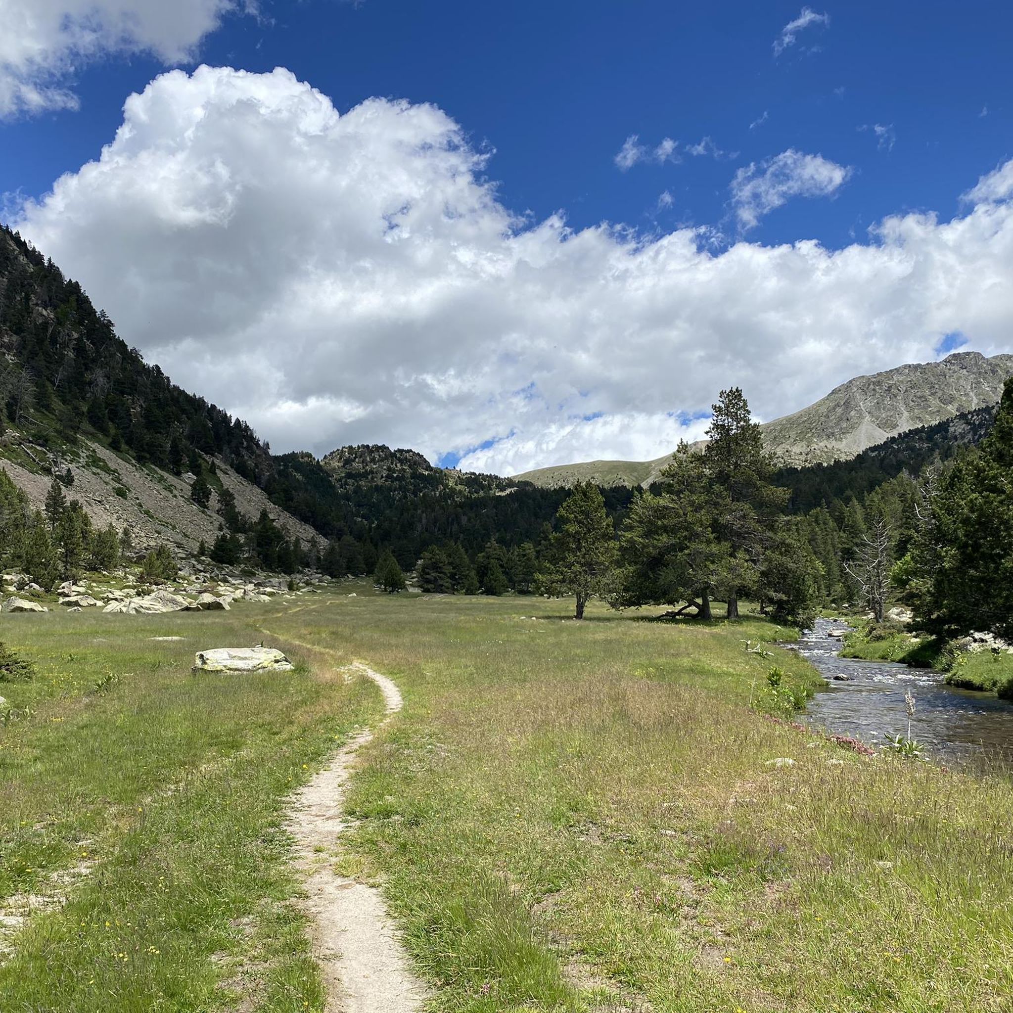
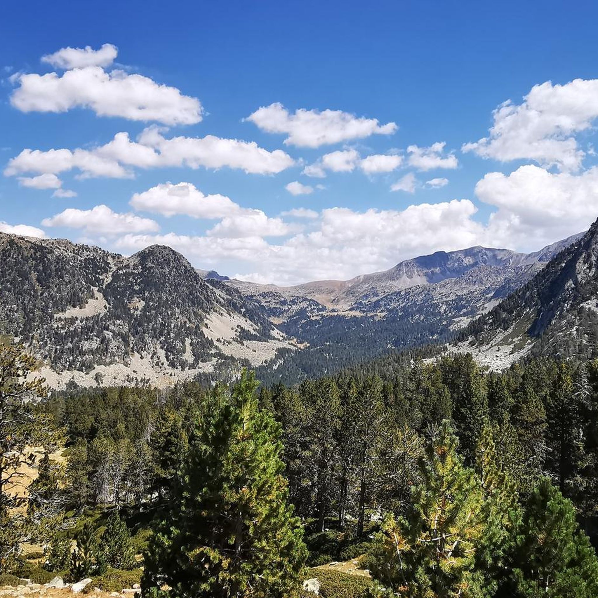
Hiking in Escaldes-Engordany offers diverse landscapes within the Pyrenees, characterized by high peaks, deep valleys, and alpine lakes. The region encompasses parts of the Vall del Madriu-Perafita-Claror, a UNESCO World Heritage Site, featuring lush forests and meadows. This area provides a range of hiking opportunities, from gentle walks around lakes to challenging multi-day treks through mountainous terrain.
Best hiking trails in Escaldes-Engordany
- The most popular hiking route is Estanque de l'Illa por el Valle del Madriu — circular desde Escaldes-Engordany…
Last updated: August 30, 2026
4.8
(59)
419
hikers
22.8km
08:22
1,250m
1,240m
Hard hike. Very good fitness required. Mostly accessible paths. Sure-footedness required.
4.1
(37)
151
hikers
11.5km
04:18
700m
700m
Moderate hike. Good fitness required. Mostly accessible paths. Sure-footedness required.

Sign up for free
3.5
(23)
61
hikers
11.1km
04:22
810m
810m
Hike the challenging Pic de Padern circular trail from Escaldes-Engordany, featuring technical sections, the Sant Antoni de la Grella Bridge
4.2
(16)
45
hikers
10.3km
02:57
240m
250m
Hike the Rec de l'Obac to Passeig del Rec del Solà circular route from Les Escaldes for panoramic views and historic canals.
4.6
(7)
37
hikers
13.2km
06:24
1,070m
1,070m
Hard hike. Very good fitness required. Mostly accessible paths. Sure-footedness required.
4.5
(2)
25
hikers
17.4km
06:38
1,190m
1,190m
Hard hike. Very good fitness required. Easily-accessible paths. Suitable for all skill levels.
4.3
(8)
30
hikers
9.17km
03:46
700m
700m
Hike the moderate 5.7-mile Bordas de Entremesaigües y Ràmio circular trail in Andorra's UNESCO Madriu Valley.
4.3
(3)
9
hikers
Easy hike. Great for any fitness level. Easily-accessible paths. Suitable for all skill levels.
5.0
(4)
26
hikers
3.40km
01:34
290m
290m
This difficult 2.1-mile (3.4 km) circular hike in Andorra's Madriu-Perafita-Claror Valley gains 956 feet (291 metres) in 1h 33m.
5.0
(2)
8
hikers
7.58km
02:39
390m
400m
Hike the moderate 4.7-mile La Comella and Rec de l'Obac Loop for panoramic city views, shaded paths, and natural springs.
Get access to more routes and recommendations from other explorers.
Sign up for free
Already have an account?
Our route recommendations are based on thousands of hikes, rides, and runs completed by other people on komoot.
Start today with a free account
Your next adventure awaits.
Login or Signup
Popular around Escaldes-Engordany


Other adventures in Escaldes-Engordany

Tips from the Community

Beautiful walk over the Puente de la Tosa following the river. Directions to walk to Engolasters lake, Andorra.
0
0


Mountain hut for overnight stay at 2488 m altitude. Very functional, good food. You sleep in 8-bed rooms.
0
0

It is a very difficult route, certainly not average. It does indeed start with a well-maintained path, but as soon as you go up the mountain it is not a hiking trail, but a path, where you have to climb and clamber a lot. Near the top you really have to climb with your hands and feet. The road (GPS) is poorly indicated. When it rains it becomes dangerously slippery. We experienced thunder and hail (we left in beautiful weather) which made us underestimate the threatening conditions. We did not finish the route, but descended via the road. This is super far. Think carefully and prepare (eat, drink, jacket) before you start this challenge! In retrospect we are very glad that we did not finish the route! On the road we had a lift from locals who confirmed that this is a very difficult route, with a great risk of changing weather. They indicated that there should be better warnings about this.
0
0
It is not a recommended route when there is snow on the road. The road signs are often on the ground where you cannot see them under the snow.
0
0

Spectacular video mapping that projects the frescoes that decorated the church onto the walls, exciting.
0
0

'The Nobility of Time' 1977 Salvador Dali
1
0
Frequently Asked Questions
How many hiking trails are available in Escaldes-Engordany?
Escaldes-Engordany offers a diverse network of nearly 60 hiking trails. These routes cater to various skill levels, from gentle walks to challenging multi-day treks through the Pyrenean landscapes.
What are the different difficulty levels for hiking in Escaldes-Engordany?
The trails in Escaldes-Engordany are categorized into three main difficulty levels: there are 20 easy routes, 23 moderate routes, and 14 difficult routes. This variety ensures options for all hikers, from beginners to experienced mountaineers.
Are there any easy or family-friendly hikes in Escaldes-Engordany?
Yes, Escaldes-Engordany offers several easy and family-friendly options. A good choice is the circular path From Escaldes-Engordany to Andorra la Vella — circular via the path of the Rec de l'Obac, which is relatively flat and accessible. The area around Lake Engolasters also features gentle loops suitable for families, and you can even find the Adventura Forest nearby for an alternative outdoor experience.
What kind of natural attractions can I see along the hiking trails?
Hiking in Escaldes-Engordany allows you to explore stunning natural attractions. You can discover the UNESCO World Heritage Site of Madriu-Perafita-Claror Valley, serene alpine lakes like Estany de la Nou, and various peaks offering panoramic views, such as Tossa del Braibal. The region is also rich in forests and diverse flora and fauna.
Are there any circular hiking routes in Escaldes-Engordany?
Many trails in Escaldes-Engordany are circular, allowing you to start and end at the same point. For example, the moderate Ascent to Lago de Engolasters — circular from Escaldes-Engordany offers beautiful lake views. For a more challenging option, consider the Lago de la Nou and valleys of Claror and Perafita — circular from Escaldes-Engordany.
What is the best time of year to go hiking in Escaldes-Engordany?
The best time for hiking in Escaldes-Engordany is generally from late spring to early autumn (May to October). During these months, the weather is milder, and the trails are typically free of snow, allowing access to high-altitude routes and alpine lakes. Some lower-elevation trails may be accessible year-round.
Are there any trails that offer significant elevation gain for experienced hikers?
Yes, experienced hikers can find routes with substantial elevation gain. The difficult Ascent to Tossa del Braibal via Estanque Blau — circular from Engolasters is a challenging option, as is the Entremesaigües Trail. The region's high peaks, some reaching almost 3,000 meters, provide ample opportunities for demanding ascents.
What do other hikers say about the trails in Escaldes-Engordany?
The hiking trails in Escaldes-Engordany are highly rated by the komoot community, with an average score of 4.7 stars from over 450 reviews. Hikers often praise the stunning Pyrenean landscapes, the variety of routes for different abilities, and the well-maintained paths that lead to beautiful alpine lakes and valleys.
Are there any trails that lead to viewpoints with panoramic vistas?
Many trails in Escaldes-Engordany offer spectacular viewpoints. The region's high peaks and deep valleys naturally provide numerous opportunities for panoramic vistas. Routes like the Pic de Padern Loop will take you through mountain scenery, often revealing expansive views of the surrounding Pyrenees.
Can I spot any wildlife or unique flora while hiking?
Escaldes-Engordany's diverse landscapes, including lush forests and alpine meadows, are home to a variety of flora and fauna. Hikers may encounter diverse alpine wildflowers and have opportunities for wildlife spotting, especially in quieter areas of the Vall del Madriu-Perafita-Claror, a UNESCO World Heritage Site known for its rich biodiversity.
Are there any long-distance or multi-day hiking options?
For seasoned hikers looking for a multi-day adventure, the challenging 92-kilometer Coronallacs Trail starts in Escaldes-Engordany. This circular route connects the four staffed huts in Andorra, offering an immersive exploration of the country's most remote and scenic spots over approximately five days.
Most popular routes in Escaldes-Engordany
Most popular attractions in Escaldes-Engordany

Get inspired with the komoot mobile app


Didn’t find what you were looking for?
Check out more Hikes throughout Escaldes-Engordany below and find the perfect route in your destination.
Explore more
Browse the best Hikes in other regions.
