The best road cycling routes around Eagleville
4.9
(41)
1,611
riders
48
rides
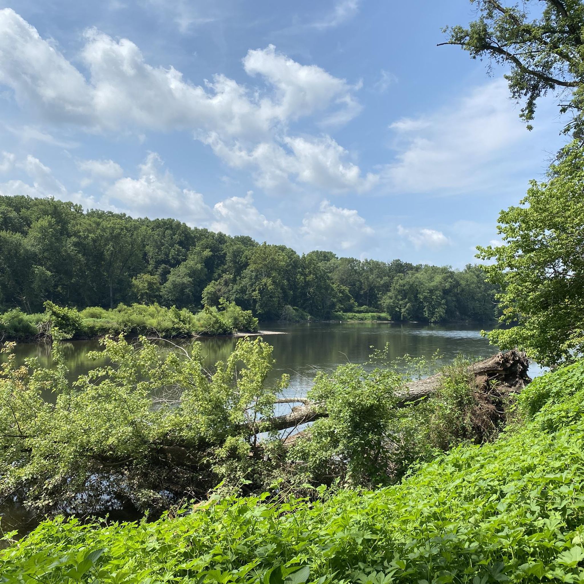
Road cycling around Eagleville, Pennsylvania, offers diverse routes through scenic landscapes. The region is characterized by its proximity to the Schuylkill River Trail, providing extensive paved and crushed gravel sections along rural farmlands and riverbanks. Cyclists can also explore wooded areas and historical sites, including those within Valley Forge National Historical Park. The terrain varies, offering both relatively flat river floodplains and routes with moderate elevation changes.
Best road cycling routes around Eagleville
- The most popular road cycling route is…
Last updated: May 20, 2026
5.0
(1)
33
riders
21.5km
01:09
150m
150m
Easy road ride. Great for any fitness level. Mostly well-paved surfaces and easy to ride.
5
riders
94.8km
04:49
1,000m
1,000m
Hard road ride. Very good fitness required. Mostly well-paved surfaces and easy to ride.

Sign up for free
5
riders
32.5km
01:35
260m
260m
Easy road ride. Great for any fitness level. Mostly well-paved surfaces and easy to ride.
4
riders
57.0km
02:42
570m
570m
Moderate road ride. Good fitness required. Mostly well-paved surfaces and easy to ride.
4
riders
50.6km
02:28
500m
500m
Moderate road ride. Good fitness required. Mostly well-paved surfaces and easy to ride.
Get access to more routes and recommendations from other explorers.
Sign up for free
Already have an account?
Our route recommendations are based on thousands of hikes, rides, and runs completed by other people on komoot.
Start today with a free account
Your next adventure awaits.
Login or Signup




Tips from the Community

This is a perfect spot to access the Schuylkill River Trail. At this trailhead, you'll find a dog park and a picnic area—an excellent place to start your journey or turn around and head back.
1
0

This memorial arch was deliberately designed to resemble a simplified version of the Arch of Titus in Rome, Italy; it commemorates the arrival of George Washington and his Continental Army to Valley Forge.
0
0

The Lower Perkiomen Valley Park is a 107 acre park in Upper Providence Township. From the park, there is access to the Perkiomen Trail, great views of the Perkiomen Creek and several nature trails.
0
0
The Perkiomen Trail is a 20-mile-long trail that follows the Perkiomen Creek. It is popular with cyclists, hikers and runners. The surface is mostly crushed stone, but there are some paved sections.
0
0

Warwick County Park comprises 535 acres of mixed hardwood forest, wetlands, meadows, and riparian regions by French Creek. There are various pavilions and picnic sites, miles of trails, play grounds, beach volleyball court, and an ADA accessible fishing pier on French Creek.
1
0

French Creek State Park is a 7,730-acre park filled with forests, lakes, and wetlands. This is the largest patch of contiguous forest between Washington D.C. and New York City.
0
0
Sullivan's Bridge is a bridge for non-motorized traffic and connects the Joseph Plumb Martin Trail and the Schuylkill River Trail. On your way across the bridge, there are great views of the Schuylkill River.
1
0

The Patriots of African Descent Monument is one of the newest additions to Valley Forge National Historical Park. The monument is in remembrance of the black soldiers in the American Revolution. There are not many memorials like this on federal land.
0
0
Frequently Asked Questions
How many road cycling routes are available around Eagleville?
There are over 45 road cycling routes around Eagleville, offering a diverse range of options for cyclists. These routes are highly rated by the komoot community, with an average score of 4.9 stars from over 40 reviews.
What are the general difficulty levels of road cycling routes in Eagleville?
Eagleville offers a variety of routes catering to different skill levels. You'll find 15 easy routes, 29 moderate routes, and 4 more challenging routes, ensuring there's something for everyone from beginners to experienced riders.
What kind of terrain can I expect on road cycling routes near Eagleville?
Road cycling around Eagleville features diverse terrain, including rural farmlands, river floodplains, and historical parklands. Many routes utilize sections of the Schuylkill River Trail and the Perkiomen Trail, which offer both paved and crushed gravel surfaces winding through varied landscapes and along riverbanks.
Are there any historical landmarks or points of interest along the road cycling routes?
Yes, several routes pass by significant landmarks. For instance, the National Memorial Arch – View from Sullivan's Bridge loop from Audubon offers views of the historic National Memorial Arch within Valley Forge National Historical Park. You might also encounter other historical sites like the Ruins.
Can I find road cycling routes suitable for families with children?
Yes, Eagleville has several easy road cycling routes that are suitable for families. The National Memorial Arch – View from Sullivan's Bridge loop from Audubon is an easy 13.3-mile route that is popular and offers scenic views without excessive difficulty.
Are there any long-distance or challenging road cycling routes for experienced riders?
For experienced riders seeking a challenge, the French Creek State Park – Hopewell Lake loop from Collegeville is a difficult 59.2-mile route with significant elevation gain, offering a demanding ride through scenic areas.
What are some scenic viewpoints or natural features I can see while cycling?
Many routes offer beautiful natural scenery. The Schuylkill River Trail provides tranquil riverbanks and views of rural farmlands. Routes like the Perkiomen Trail – View from Sullivan's Bridge loop from Yerkes wind through varied terrain with picturesque river views. You can also explore areas around French Creek State Park and Lower Perkiomen Valley Park.
Are there any circular road cycling routes available?
Yes, many of the routes around Eagleville are designed as loops, allowing you to start and end at the same point. Examples include the National Memorial Arch – View from Sullivan's Bridge loop from Audubon and the Perkiomen Trail – Lower Perkiomen Valley Park loop from Collegeville.
What is the best time of year for road cycling in Eagleville?
The region generally offers pleasant conditions for road cycling during spring, summer, and fall. These seasons provide comfortable temperatures and vibrant scenery, making them ideal for exploring the trails and rural roads around Eagleville.
Are dogs allowed on the road cycling trails?
Many multi-use trails in the region, such as sections of the Schuylkill River Trail and Perkiomen Trail, generally allow dogs on leash. However, it's always best to check specific park or trail regulations before you go, as rules can vary.
Are there places to stop for refreshments like cafes or pubs along the routes?
The Schuylkill River Trail, which is a major feature of the region's cycling network, is known for having opportunities to stop at brew pubs along the route. Many towns and communities along the trails also offer cafes and other refreshment options.
Where can I find parking for road cycling routes in Eagleville?
Many popular trailheads and parks, such as those along the Schuylkill River Trail and Perkiomen Trail, offer designated parking areas. For specific routes, it's advisable to check the route details on komoot, as they often include information about starting points and parking availability.
Is public transport available to access road cycling trails near Eagleville?
While Eagleville itself is more car-dependent, some larger towns and cities along the extensive Schuylkill River Trail may have public transport connections. However, direct public transport access specifically to all road cycling trails directly from Eagleville might be limited, making personal transport often the most convenient option.
Most popular attractions around Eagleville

Get inspired with the komoot mobile app


Explore more
Browse the best Road cycling routes in other regions.
