The best walks and hikes around Desales University
4.1
(7)
82
hikers
16
hikes
Hiking trails around DeSales University offer access to a diverse landscape characterized by rolling hills, spacious lawns, and lush natural areas. The region provides panoramic views of the Lehigh Valley and is surrounded by numerous natural preserves. These areas feature varied terrain, including multi-use trails, babbling brooks, and glacial boulders, with moderate elevation changes. The varied terrain ensures that hikers of all skill levels can find suitable paths.
Best hiking trails around Desales University
- The most popular hiking route is…
Last updated: June 28, 2026
7.05km
02:01
170m
170m
Moderate hike. Good fitness required. Easily-accessible paths. Suitable for all skill levels.
15.7km
04:03
60m
120m
Moderate hike. Good fitness required. Easily-accessible paths. Suitable for all skill levels.

Sign up for free
1.96km
00:33
40m
30m
Easy hike. Great for any fitness level. Easily-accessible paths. Suitable for all skill levels.
5.04km
01:19
40m
30m
Easy hike. Great for any fitness level. Easily-accessible paths. Suitable for all skill levels.
6
hikers
10.5km
03:01
260m
260m
Moderate hike. Good fitness required. Easily-accessible paths. Suitable for all skill levels.
Get access to more routes and recommendations from other explorers.
Sign up for free
Already have an account?
Our route recommendations are based on thousands of hikes, rides, and runs completed by other people on komoot.
Start today with a free account
Your next adventure awaits.
Login or Signup




Tips from the Community

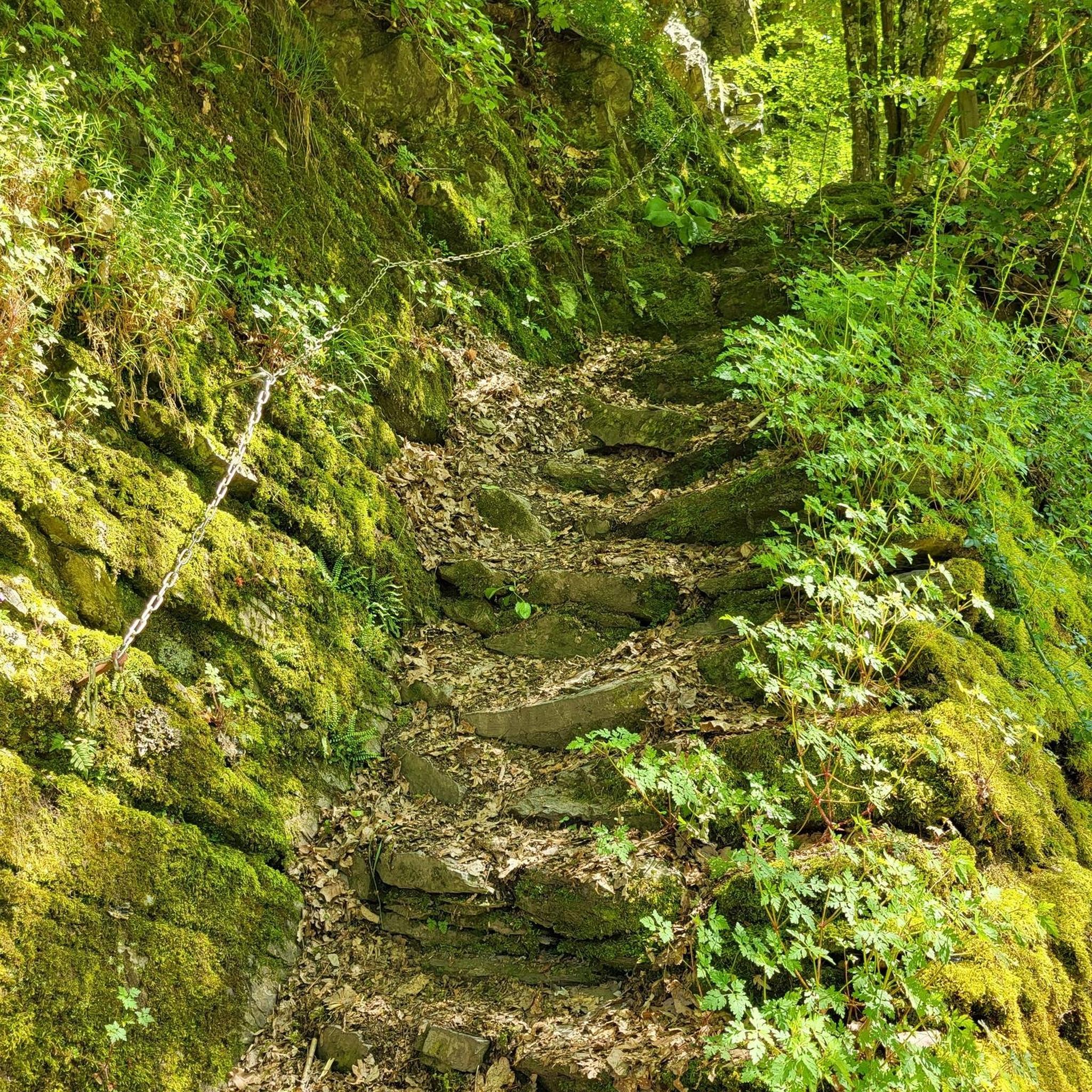
The Uplands Trail is a short, .7-mile, relatively easy path; however, it is rocky and uneven in some areas. The trail provides access to the Mountain Top and Log trails and offers nice elevation changes along the way. While on this route, you'll see plenty of wildlife, including deer, fox and several bird species, as you immerse yourself in the beautiful forest with trees over 100 years old.
0
0

The Wildlands Conservancy South Mountain Preserve spans 350 acres of woodland, featuring hard-packed dirt trails with some rocky sections throughout. This area is home to a wide variety of birds, so keep a lookout for them as you explore the trails.
1
0

Saucon Creek is a 17-mile creek that flows to the Lehigh River in Bethlehem. This creek is considered to be a high quality fishing spot.
0
0

The trails here are packed earth with rock gardens and log crossings. They are open and fun for mountain biking. Some of them are more technical than others. There are mostly marked trails but you might want to check a local shop to get more updated information. It takes less than 2 hours normally to ride all of the trails once.
0
0
Frequently Asked Questions
How many hiking trails are there around DeSales University?
There are 9 hiking routes available around DeSales University, offering a variety of experiences. These include 3 easy trails and 6 moderate trails, catering to different fitness levels.
What is the terrain like on the hiking trails near DeSales University?
The terrain around DeSales University is characterized by rolling hills, spacious lawns, and lush natural areas. Trails often feature varied landscapes, including babbling brooks, glacial boulders, and moderate elevation changes, providing panoramic views of the Lehigh Valley.
Are there easy hiking trails suitable for beginners or casual walkers?
Yes, there are several easy options. For example, the Monocacy Way to Monocacy Park Complex — Bethlehem is a 4.2-mile path with minimal elevation gain, perfect for a relaxed walk. There are 3 easy trails in total in the area.
Are there any loop trails available for hiking?
Yes, several loop trails are available. A popular choice is the WPP Red & Blue Trail loop — Lehigh Mountain Park, which is a 7.9-mile moderate route. Another excellent option is the Wilderness, Uplands, & Log Trail loop — Wildlands Conservancy South Mountain Preserve, a 6.5-mile moderate path.
What natural features or landmarks can I see while hiking?
While hiking, you can encounter diverse natural features such as babbling brooks and glacial boulders, particularly along trails in the Wildlands Conservancy South Mountain Preserve. You might also spot wildlife like foxes. For specific landmarks, consider visiting the South Mountain Preserve – Wildlands Conservancy or exploring the Saucon Rail Trail.
When is the best time of year to hike near DeSales University?
The region offers beautiful hiking experiences throughout the year. Fall and winter are particularly rewarding for scenic views and leaf-peeping, especially in areas like the Brenner-Penfield Macungie Mountain Preserve. Spring brings out babbling brooks and spring peepers. Always check local conditions before heading out.
Are there family-friendly hiking options near DeSales University?
Yes, the area offers trails suitable for families. The Monocacy Way to Monocacy Park Complex — Bethlehem is an easier, flatter option that can be enjoyed by all ages. Many trails within the university's expansive grounds also provide accessible, open spaces for family walks.
Can I bring my dog on the hiking trails?
Many natural preserves and parks in the Lehigh Valley area are dog-friendly, often requiring dogs to be on a leash. It's always best to check specific park regulations before you go, but generally, you'll find options to enjoy with your canine companion.
Is parking available at the trailheads?
Yes, parking is generally available at the trailheads for the various preserves and parks in the vicinity of DeSales University, such as the Wildlands Conservancy South Mountain Preserve and Lehigh Mountain Park. Specific parking details can often be found on the respective park websites or trail guides.
What do other hikers say about the trails around DeSales University?
The trails around DeSales University are highly rated by the komoot community, with an average score of 4.3 stars from around 7 reviews. Hikers often praise the varied terrain, from rolling hills to lush natural areas, and the beautiful views of the Lehigh Valley.
Are there longer or more challenging hikes for experienced hikers?
For more experienced hikers, there are several moderate trails that offer greater distances and elevation gains. The WPP Red & Blue Trail loop — Lehigh Mountain Park covers nearly 8 miles with over 700 feet of elevation gain. Another good option is the Wilderness, Uplands, & Log Trail loop — Wildlands Conservancy South Mountain Preserve, which is 6.5 miles long with over 800 feet of ascent.
Most popular attractions around Desales University

Get inspired with the komoot mobile app


Explore more
Browse the best Hikes in other regions.
