The best road cycling routes around Clinton
31
riders
9
rides
Road cycling routes around Clinton are characterized by undulating terrain, often traversing state parklands and former rail trails. The region features a mix of open roads and sections that pass through natural areas, including tunnels. Elevations vary, with some routes featuring significant climbs and descents. The landscape provides diverse settings for road cyclists.
Best road cycling routes around Clinton
- The most popular road cycling route is Santiago to Raccoon Creek State Park loop, a 51.1 miles (82.2 km) trail…
Last updated: July 2, 2026
82.2km
04:17
1,050m
1,050m
Hard road ride. Very good fitness required. Mostly well-paved surfaces and easy to ride.
6
riders
26.4km
01:19
190m
190m
Moderate road ride. Great for any fitness level. Some segments of this route may be unpaved and difficult to ride.

Sign up for free
9
riders
60.4km
04:24
830m
830m
Moderate road ride. Good fitness required. Some segments of this route may be unpaved and difficult to ride.
6
riders
Moderate road ride. Good fitness required. Some segments of this route may be unpaved and difficult to ride.
2
riders
32.7km
01:34
380m
380m
Moderate road ride. Good fitness required. Mostly well-paved surfaces and easy to ride.
Get access to more routes and recommendations from other explorers.
Sign up for free
Already have an account?
Our route recommendations are based on thousands of hikes, rides, and runs completed by other people on komoot.
Start today with a free account
Your next adventure awaits.
Login or Signup
Popular around Clinton


Tips from the Community


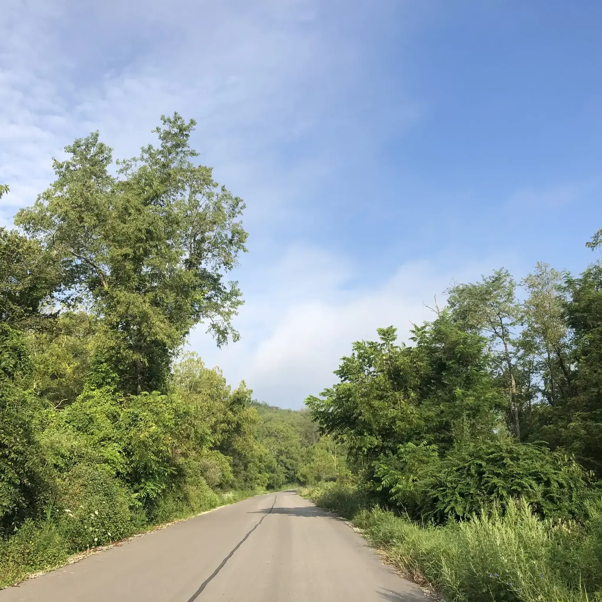
McCaslin Road is a quiet paved road that is part of the route that leads from the Pittsburgh airport parking lot to the Montour Trail. The route is known as the Montour Trail Airport Connector Route and is pretty easy to follow since it's mostly a straight shot.
0
0
The Forestbrooke Conservation Area is a 7-acre haven for plants and animals. As you ride along the Montour Trail, you'll have a great opportunity to take in the sights and sounds of nature.
0
0

A 7,572-acre park in Beaver County, Raccoon Creek State Park offers campsites and amenities, along with a much-loved wildflower preserve.
0
0
Panhandle Trail, nestled in western Pennsylvania, offers a scenic journey through lush forests and charming towns. Spanning 29 miles along a former railroad corridor, it beckons cyclists, hikers, and nature enthusiasts to explore its beauty and tranquility year-round.
0
0
Enlow Tunnel, a remarkable feat of engineering, was excavated through the hillside in 1926 as part of a realignment initiative by the Montour Railroad. Its construction aimed to eradicate multiple challenging curves in the railroad's original main line. Stretching 575 feet, this tunnel replaced a half-mile section of track that previously wound around the hill alongside Montour Run.
0
0
The Montour Trail - Boggs Trailhead Campsite is exclusively for hikers, runners, and bikers passing through the Montour Trail. Please note that overnight parking is not allowed, and vehicles may be required to be moved by the police. Reservations are unnecessary, and there is no fee for utilizing the sites, which operate on a first-come, first-served basis.
0
0
The Montour Trail offers a prime example of a superb rail-trail experience right in the vicinity of Pittsburgh. As one of the nation's longest suburban rail-trails, spanning approximately 47 miles along a relatively flat half-loop, from Coraopolis by the Ohio River to Clairton along the Monongahela River, it provides an extensive recreational pathway. Branch routes extend its length to over 60 miles, with a northwest branch directly linking to Pittsburgh International Airport. Additionally, it seamlessly connects with other regional trails, including the Great Allegheny Passage and the C&O Canal Towpath, forming part of the extensive 300+ mile trail network from Pittsburgh to Washington, DC. It's easily accessible by car and public transit, with numerous access points and ADA-compliant facilities along the way, ensuring a convenient and inclusive experience for all trail users.
0
0
Frequently Asked Questions
How many road cycling routes are available around Clinton?
Clinton offers over a dozen road cycling routes, catering to various skill levels. The majority are moderate, with some challenging options for experienced cyclists.
Are there any beginner-friendly road cycling routes in Clinton?
While most routes around Clinton are moderate to difficult due to undulating terrain and elevation changes, routes that incorporate former rail trails, like sections of the Montour Trail, might offer a gentler experience for those newer to road cycling. However, no routes are specifically classified as 'easy' in this area.
What are the best routes for experienced road cyclists seeking a challenge?
For experienced road cyclists looking for a challenge, the Santiago to Raccoon Creek State Park loop is classified as difficult, featuring substantial elevation gain over its 51.1 miles. This route provides a demanding ride through parkland.
What kind of terrain can I expect on road cycling routes in Clinton?
Road cycling routes around Clinton are characterized by undulating terrain, often traversing state parklands and former rail trails. You'll encounter a mix of open roads and sections that pass through natural areas, including tunnels. Elevations vary, with some routes featuring significant climbs and descents.
Are there any scenic viewpoints or landmarks along the road cycling routes?
Yes, several routes offer scenic elements and pass by notable landmarks. For instance, the Enlow Tunnel – McCaslin Road loop from Boggs Road includes passage through the historic Enlow Tunnel. Other routes may feature views of the Sewickley Bridge or pass by the Park lake.
What is the typical length and duration of road cycling routes in Clinton?
Route lengths vary significantly. For example, the Enlow Tunnel – McCaslin Road loop is about 16.4 miles (26.4 km) and takes around 1 hour 18 minutes, while the Santiago to Raccoon Creek State Park loop spans 51.1 miles (82.2 km) and typically requires over 4 hours to complete.
Are there any routes that incorporate former rail trails?
Yes, some road cycling routes in Clinton utilize sections of former rail trails, such as the Montour Trail. These sections often provide a different riding experience compared to open roads, sometimes passing through natural areas and tunnels.
What do other road cyclists say about the routes in Clinton?
The road cycling routes in Clinton are highly rated by the komoot community, with an average score of 5.0 stars. Around 30 road cyclists have used komoot to explore Clinton's varied terrain, often appreciating the diverse settings and challenging climbs.
Are there any circular road cycling routes available?
Many of the popular road cycling routes around Clinton are designed as loops, offering a continuous ride back to your starting point. Examples include the Santiago to Raccoon Creek State Park loop and the Raccoon Creek State Park loop from Lyle Covered Bridge.
Which routes pass through Raccoon Creek State Park?
Several routes offer the opportunity to cycle through Raccoon Creek State Park. Notable options include the Santiago to Raccoon Creek State Park loop and the Raccoon Creek State Park loop from Lyle Covered Bridge, both providing extensive riding within the park's natural setting.
Can I find routes that include the Enlow Tunnel?
Yes, the Enlow Tunnel – McCaslin Road loop from Boggs Road specifically features passage through the historic Enlow Tunnel, offering a unique experience for road cyclists.
Most popular routes around Clinton
Most popular attractions around Clinton

Get inspired with the komoot mobile app


Explore more
Browse the best Road cycling routes in other regions.
