
The best walks and hikes around Bryn Athyn
5.0
(2)
72
hikers
15
hikes
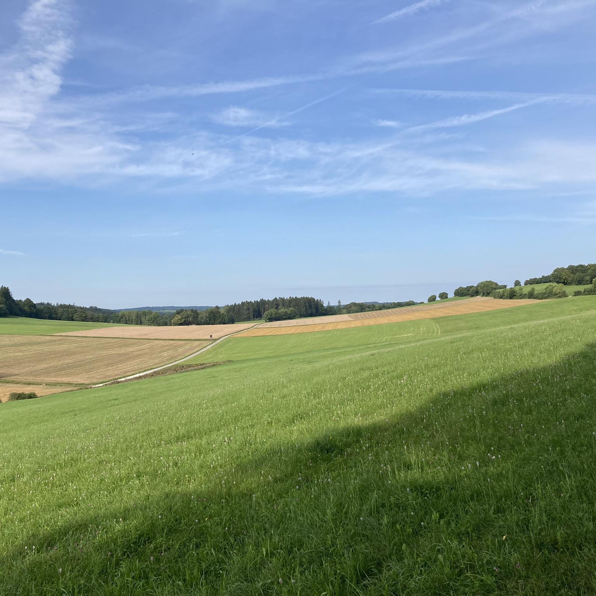
Hiking around Bryn Athyn is characterized by gentle hills, extensive woodlands, and serene meadows. The region's landscape is primarily shaped by the Pennypack Creek, with many trails following its picturesque banks. The terrain features both crushed stone paths and natural surface trails, providing varied hiking environments within local parks and nature preserves.
Best hiking trails around Bryn Athyn
- The most popular hiking route is Mitchell Trail, Creek Road and Raytharn Trail Loop, a 3.5 miles (5.7 km) trail that…
Last updated: August 18, 2026
5.0
(1)
10
hikers
4.17km
01:04
10m
20m
Explore the easy Warminster Park Trail, a pleasant hike spanning 2.6 miles (4.2 km) with a gentle elevation gain of 45 feet (14 metres). You can expect to complete this…
9
hikers
5.68km
01:35
70m
110m
Embark on the Mitchell Trail, Creek Road and Raytharn Trail Loop, a moderate hike spanning 3.5 miles (5.7 km) with an elevation gain of 224 feet (68 metres). You can…

Sign up for free
6.60km
01:45
70m
70m
The Pennypack Creek Trail offers an easy hike through a varied landscape, winding through the scenic Pennypack Creek Valley. You will enjoy views of the creek, woodlands, and open meadows,…
1.86km
00:30
20m
20m
Discover the easy South Park Loop Trail, a refreshing hike that spans 1.2 miles (1.9 km) with a minimal elevation gain of 68 feet (21 metres). You can comfortably complete…
1.61km
00:25
10m
10m
Step onto the Masons Mill Park Loop for a refreshing hike through tranquil wooded paths. This easy route covers 1.0 miles (1.6 km) with a gentle elevation gain of just…
Get access to more routes and recommendations from other explorers.
Sign up for free
Already have an account?
Our route recommendations are based on thousands of hikes, rides, and runs completed by other people on komoot.
Start today with a free account
Your next adventure awaits.
Login or Signup


Frequently Asked Questions
Are the hiking trails around Bryn Athyn dog-friendly?
Yes, many trails in the area are dog-friendly, but they generally require dogs to be on a leash. Parks like Lorimer Park and the Pennypack Ecological Restoration Trust welcome leashed dogs on their paths. Always check the specific regulations for the park or preserve you plan to visit before you go.
What are some good family-friendly hikes in the Bryn Athyn area?
For a great family outing, consider the Lorimer Park loop — Philadelphia. It's an easy 4-mile (6.5 km) walk through woods and meadows with plenty of space for a picnic. The park's gentle terrain and scenic creek views make it a local favorite for families.
Where can I find a longer loop hike?
If you're looking for a longer, more substantial loop, the Knight’s Bridge loop from Woodmont is an excellent choice. This moderate 9-mile (14.6 km) route offers a rewarding experience with varied scenery along the Pennypack Creek.
What are the trail surfaces like on the main paths?
The trail surfaces vary. The Pennypack Trail, a former rail line, is primarily a wide, level path made of crushed stone, making it suitable for easy walking. Trails within nature preserves like the Pennypack Ecological Restoration Trust and Lorimer Park are typically natural surface paths that can be grassy, dirt, or gravel, with some rolling hills.
Can I combine hiking with seeing the area's historic architecture?
Absolutely. The Pennypack Trail provides convenient access to the Bryn Athyn Historic District. You can easily transition from a rustic hike along the creek to a stroll around the magnificent grounds of the Bryn Athyn Cathedral and Cairnwood Estate, which are known for their stunning architecture and beautiful gardens.
Where is a good place to park to access the trails?
Both Lorimer Park and the Pennypack Ecological Restoration Trust are popular starting points with dedicated parking areas. You can also find several trailheads with parking for the Pennypack Trail, such as the one located at Byberry Road, which provides direct access to the path.
Are there any easy circular walks available?
Yes, there are several easy loops. The Pennypack Trail loop from Rhawnhurst is a pleasant 4.3-mile (7 km) circular route that is mostly flat and follows the creek, making for a relaxing walk.
What kind of scenery can I expect on the trails?
The hiking around Bryn Athyn is defined by the tranquil Pennypack Creek corridor. You'll walk through a mix of mature woodlands with a canopy of large trees, open meadows, and wetlands. A key feature in Lorimer Park is Council Rock, a large schist outcrop that offers scenic views overlooking the creek.
Are there any particularly challenging hikes in the region?
While most trails are easy to moderate, you can find more challenging terrain within the Pennypack Ecological Restoration Trust. The Coyote Loop, at 3.1 miles, is considered the most strenuous route from the trust's headquarters, featuring rolling hills and varied creekside scenery.
What makes Bryn Athyn a unique hiking destination?
Bryn Athyn offers a unique blend of natural beauty and world-renowned architecture. It's one of the few places where you can spend the morning on a rustic trail in a nature preserve and the afternoon admiring the Gothic and Romanesque-style Bryn Athyn Cathedral, all within easy walking distance of each other.
Is it possible to hike to the site of the historic Bryn Athyn train wreck?
Yes, the Pennypack Trail passes through an area locally known as Death Gulch, which is the site of a head-on train crash that occurred in 1921. Hiking this section of the trail allows you to see the deep, wooded ravine where the historic event took place.
Most popular attractions around Bryn Athyn

Get inspired with the komoot mobile app


Explore more
Browse the best Hikes in other regions.
