The best road cycling routes around Laureldale
4.5
(3)
58
riders
15
rides
Road cycling routes around Laureldale, Pennsylvania, are set amidst rolling country roads and diverse natural landscapes. The region is characterized by moderate hills, tranquil valleys, and proximity to significant natural features like Mount Penn and the Schuylkill River. This terrain provides varied experiences for road cyclists, from challenging ascents to picturesque, less strenuous rides.
Best road cycling routes around Laureldale
- The most popular road cycling route is Mount Penn loop, a 14.1 miles (22.6 km) trail that takes 1…
Last updated: June 28, 2026
1
riders
22.6km
01:17
320m
320m
Moderate road ride. Good fitness required. Mostly well-paved surfaces and easy to ride.
5.0
(1)
12
riders
48.9km
02:32
310m
310m
Moderate road ride. Good fitness required. Mostly well-paved surfaces and easy to ride.

Sign up for free
12
riders
93.1km
05:11
590m
590m
Hard road ride. Very good fitness required. Some segments of this route may be unpaved and difficult to ride.
6
riders
73.5km
03:41
760m
760m
Moderate road ride. Good fitness required. Mostly well-paved surfaces and easy to ride.
4.0
(2)
4
riders
40.8km
02:01
310m
310m
Moderate road ride. Good fitness required. Some segments of this route may be unpaved and difficult to ride.
Get access to more routes and recommendations from other explorers.
Sign up for free
Already have an account?
Our route recommendations are based on thousands of hikes, rides, and runs completed by other people on komoot.
Start today with a free account
Your next adventure awaits.
Login or Signup


Tips from the Community

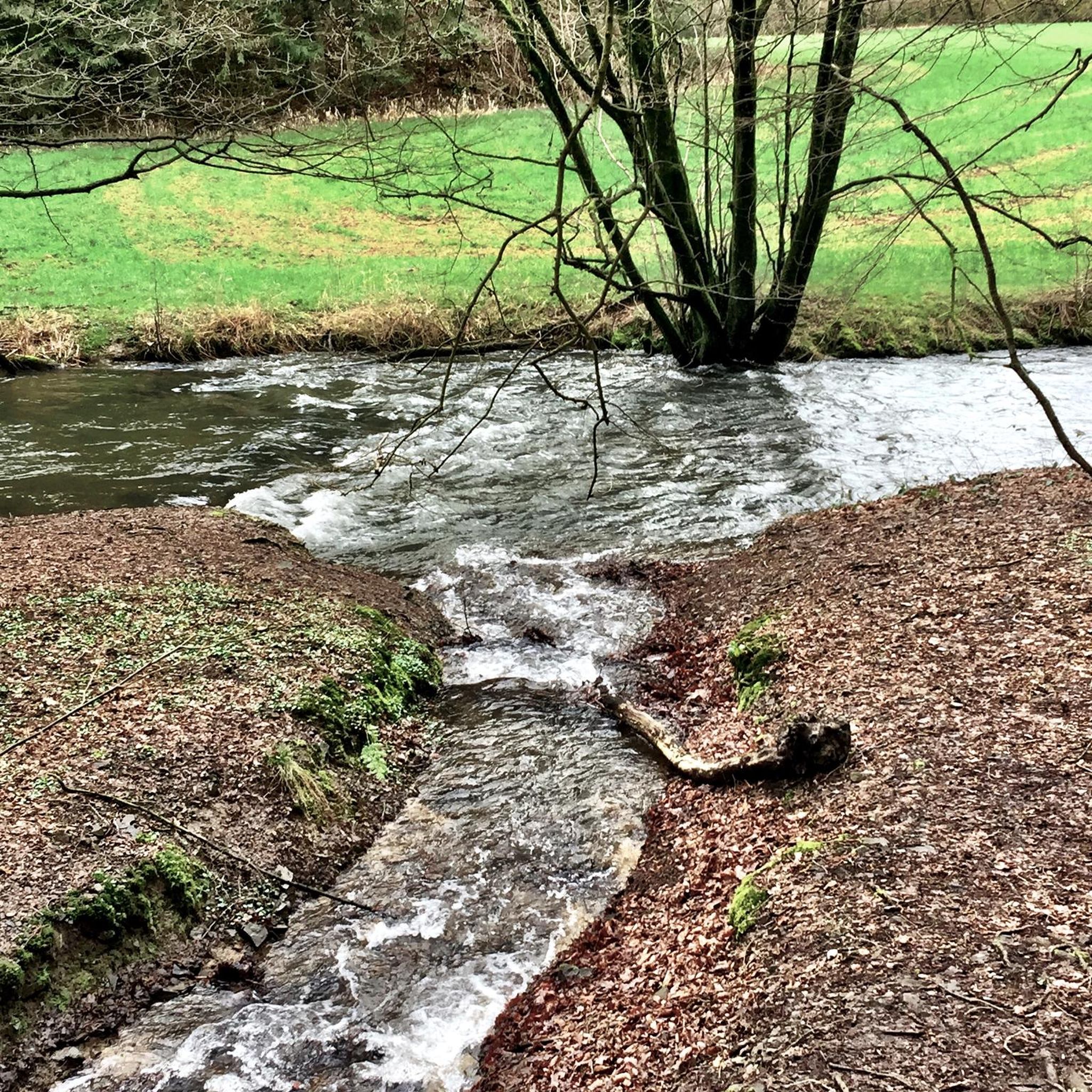
This is a picturesque pond with trails running alongside it and wooden decks to relax on—an alternate trail system if you want to escape busy roads, ride along the creek, or just find a nice spot for a break.
0
0

The Schuylkill River flows through Pennsylvania, weaving a picturesque path rich in history and natural beauty, with plenty of opportunities for outdoor adventure.
0
0

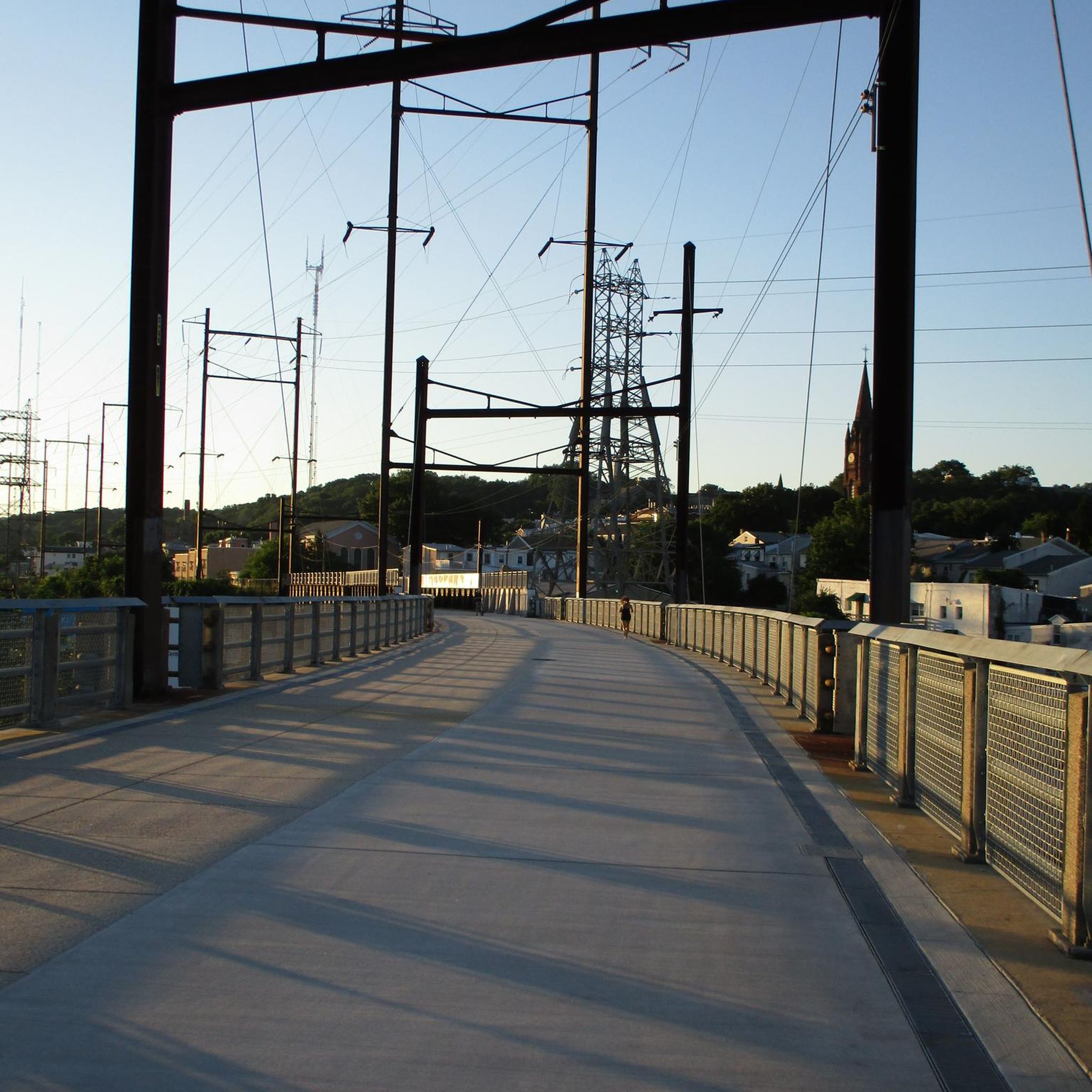
Access and parking for the Schuylkill River Trail. There are shelters and benches on the site as well, so it is a great place to stop for a break while biking the path. The park is on the banks of the Schuylkill River, so it also gives great views of the river and has a wonderful pedestrian bridge over the river.
0
0

Oley was originally settled in 1700 and is known for its rolling farmland and beautiful scenery. It is currently listed on the National Register of Historic Places.
0
0

The Reading Pagoda is a 7-story building that was constructed in 1908 as a luxury hotel. In 1911, it was donated to Reading and is still owned by the city. The pagoda is now open for public visits, where you can climb the 87 steps to the top floor for a great view.
0
1
Neversink Mountain Preserve, a natural treasure surrounding the City of Reading, offers breathtaking vistas from popular spots like the City Overlook and Witches Hat (McIlvain Pavilion). Managed by Berks Nature, the 900-acre mountain teems with diverse flora and fauna, making it a haven for wildlife enthusiasts.
0
0

The small dam at the southern end of the Antietam Lake creates a waterfall of sorts. The best view of the dam and cascade is from Antietam Road.
0
0
Wyomissing Creek Trail is a great paved, multiuse trail. It runs alongside the Wyomissing Creek and goes the length of the Wyomissing Parklands. It can be used as a connector trail to the Schuylkill River Trail that travels from Reading to Pottstown.
0
0
Frequently Asked Questions
How many road cycling routes are available around Laureldale?
Based on komoot data, there are over 10 road cycling routes around Laureldale, offering a variety of experiences for different skill levels.
What kind of terrain can I expect on road cycling routes near Laureldale?
The region around Laureldale is known for its rolling hills and quiet country roads. You'll find routes with moderate hills and challenging ascents, particularly around Mount Penn, as well as tranquil valley roads with less traffic. The terrain provides options from moderate loops to more difficult, longer rides.
Are there any road cycling routes suitable for beginners or those looking for an easier ride?
While many routes feature rolling hills, the region also offers less strenuous options. For a relatively flat experience, consider routes that traverse the picturesque countryside between Fleetwood and Kutztown. The Schuylkill River Trail, accessible from nearby Reading, also offers mostly paved or crushed stone surfaces ideal for comfortable, long-distance cycling.
Where can I find more challenging road cycling routes around Laureldale?
For a more challenging ride, the Lake Ontelaunee Trail – Lake Ontelaunee loop from Reading is a difficult 63.1-mile (101.6 km) trail with significant elevation changes. Routes around Mount Penn, such as the Mount Penn loop, also offer rewarding climbs and views.
What are some scenic viewpoints or landmarks I can see along the road cycling routes?
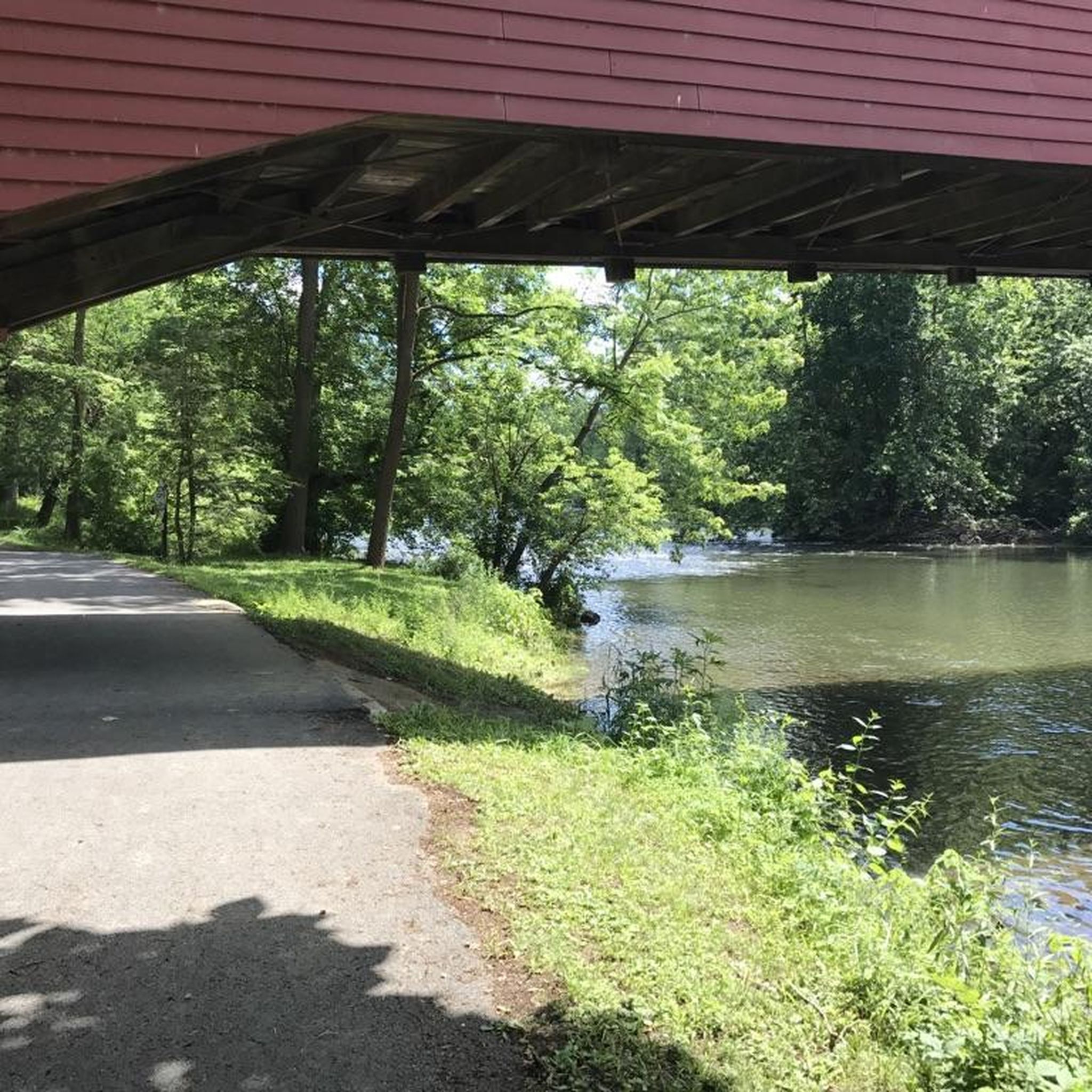
Many routes offer scenic views. The Mount Penn loop provides rewarding views from Mount Penn itself. You can also explore routes that pass by attractions like Wertz's Covered Bridge or the iconic Reading Pagoda. The Schuylkill River Trail offers views of the historic Schuylkill River.
Are there any family-friendly road cycling options near Laureldale?
While specific family-friendly road cycling routes are not detailed, the Schuylkill River Trail is a multi-use pathway with mostly paved or crushed stone surfaces, making large sections suitable for families. It offers a comfortable, long-distance cycling experience through diverse landscapes.
What is the best time of year for road cycling in Laureldale?
The region's rolling hills and scenic landscapes are enjoyable throughout the warmer months. Spring and fall typically offer pleasant temperatures and beautiful scenery, making them ideal for road cycling. Summer can also be great, though it's advisable to ride earlier in the day to avoid peak heat.
Are there any routes that include access to cafes or pubs?
Many routes traverse scenic countryside and connect to towns. For example, the Oley loop from Jen & Jessies ice Cream Parlor starts from an ice cream parlor, suggesting opportunities for refreshments. Exploring routes that pass through towns like Fleetwood or Kutztown will likely offer access to local cafes and pubs.
What do other road cyclists enjoy most about road cycling in Laureldale?
The area is highly rated by the komoot community, with an average score of 4.5 stars. Reviewers often praise the diverse terrain, from challenging climbs to tranquil valley roads, and the access to scenic natural features like Mount Penn and the Schuylkill River. The variety of routes caters to different ability levels.
Where can I access the Schuylkill River Trail from Laureldale?
The Schuylkill River Trail is accessible from various points in Berks County, including nearby Reading. You would typically need to travel a short distance to Reading to join the trail, which offers extensive paved and crushed stone sections ideal for road cycling.
Are there any circular road cycling routes available?
Yes, many of the road cycling routes around Laureldale are designed as loops. Examples include the popular Mount Penn loop, the Oley loop from Jen & Jessies ice Cream Parlor, and the Skating Pond – Cornwall Terrace Pond loop from Reading, providing convenient circular journeys.
What are some longer road cycling routes for endurance rides?
For longer endurance rides, the Lake Ontelaunee Trail – Lake Ontelaunee loop from Reading is a substantial 63.1-mile (101.6 km) route that leads through varied landscapes and typically takes almost 6 hours to complete. This route offers a significant challenge for experienced cyclists.
Most popular attractions around Laureldale

Get inspired with the komoot mobile app


Explore more
Browse the best Road cycling routes in other regions.
