The best walks and hikes around Ernsthofen
4.4
(820)
7,448
hikers
43
hikes
Hiking around Ernsthofen offers a variety of trails through diverse landscapes. The region is characterized by its riverside paths along the Enns, gentle rolling hills, and extensive forest areas. Hikers can expect routes that traverse agricultural land, pass by local landmarks, and provide views of the surrounding countryside. The elevation changes are generally moderate, making the area accessible for various fitness levels.
Best hiking trails around Ernsthofen
- The most popular hiking route is Gaissing Riverside Rest Area – Thaling Power…
Last updated: May 8, 2026
4.5
(2)
20
hikers
Moderate hike. Good fitness required. Easily-accessible paths. Suitable for all skill levels.
5.0
(1)
7
hikers
Moderate hike. Good fitness required. Easily-accessible paths. Suitable for all skill levels.

Sign up for free
4.7
(3)
9
hikers
5.96km
01:41
120m
120m
Easy hike. Great for any fitness level. Easily-accessible paths. Suitable for all skill levels.
5.0
(1)
17
hikers
3.70km
00:57
20m
20m
Easy hike. Great for any fitness level. Easily-accessible paths. Suitable for all skill levels.
4.5
(2)
11
hikers
8.25km
02:19
160m
160m
Moderate hike. Good fitness required. Easily-accessible paths. Suitable for all skill levels.
Get access to more routes and recommendations from other explorers.
Sign up for free
Already have an account?
Our route recommendations are based on thousands of hikes, rides, and runs completed by other people on komoot.
Start today with a free account
Your next adventure awaits.
Login or Signup

Tips from the Community

Guesthouse is closed. Hotel is in operation
0
0

Great for kids 👍 as motivation to exercise
0
0

There used to be a lookout point built on a tree trunk nearby. This rest area with a great view is much more comfortable and also offers exciting information!
7
0
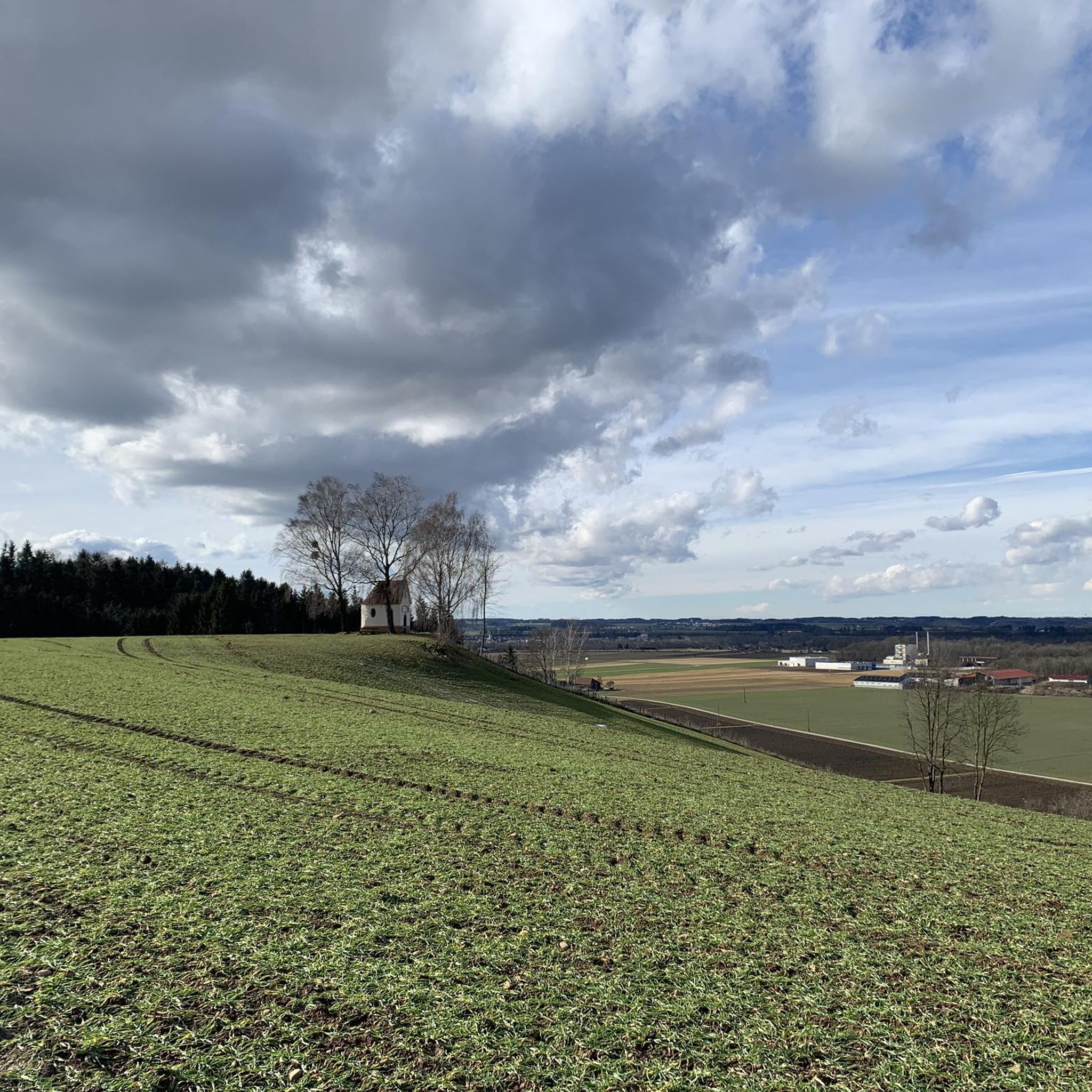
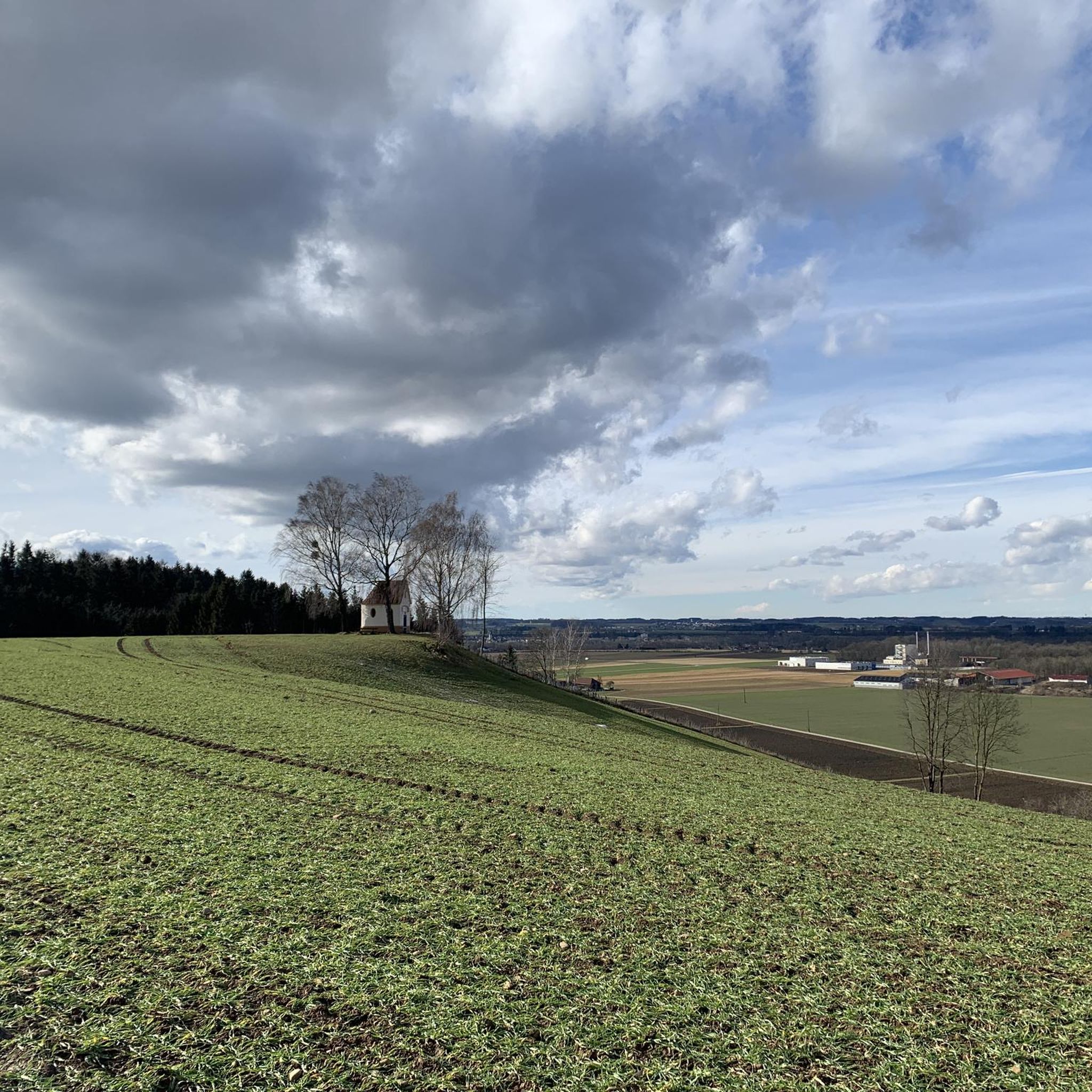
Lovingly designed rest area with a great view above Ernsthofen. There is also a stamp station here.
5
0

The parish and pilgrimage church "Maria Rast" is located in the valley of the town of Ernsthofen on the Enns. Even before 1007, Mary was invoked for her intercession as "Our help in misery". A place of worship was first mentioned in 1377. Until 1665, the Gothic Marian pilgrimage church stood directly on the banks of the Enns. Annual floods made it necessary to relocate the river in the direction of the steeply sloping Loderleiten ridge.
0
0
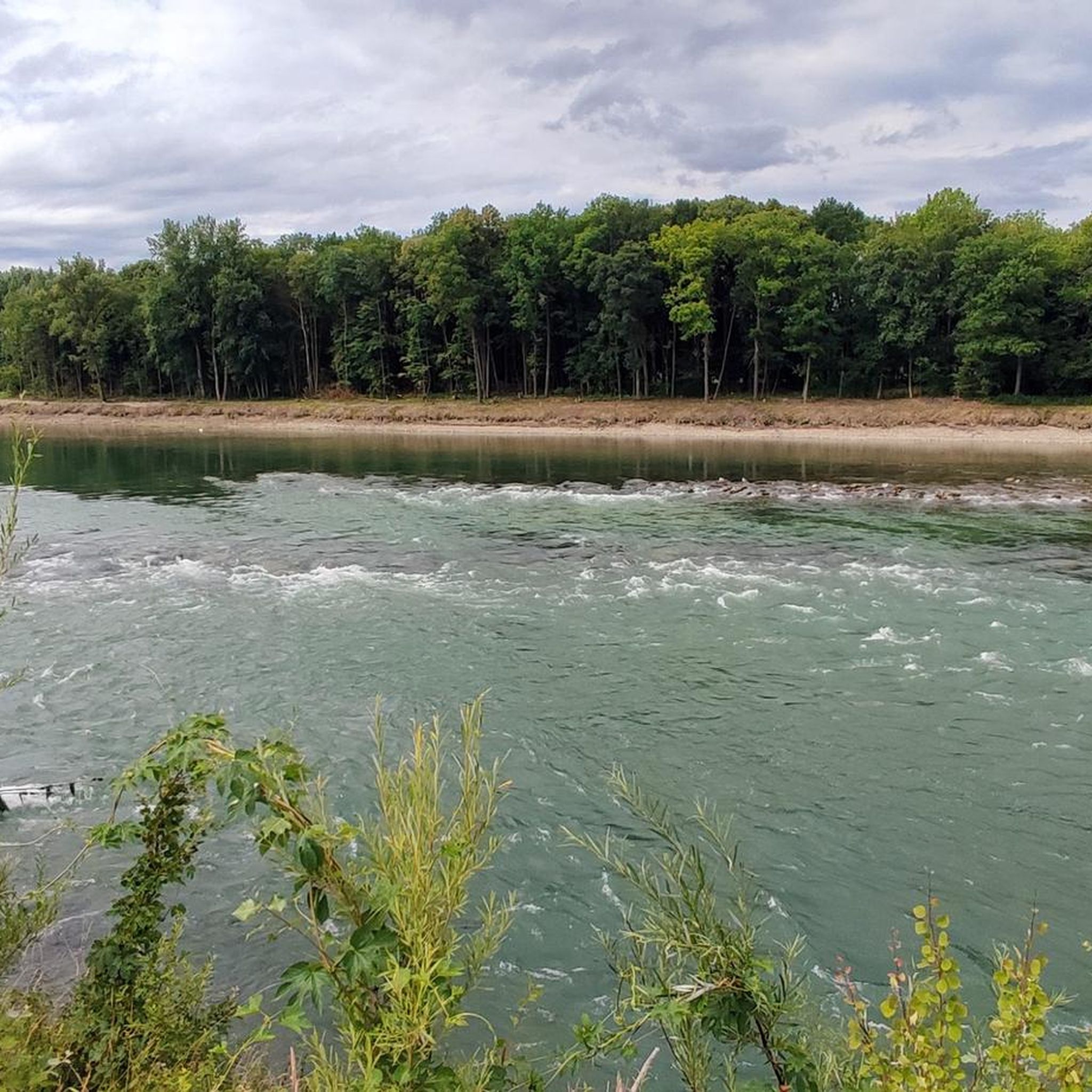
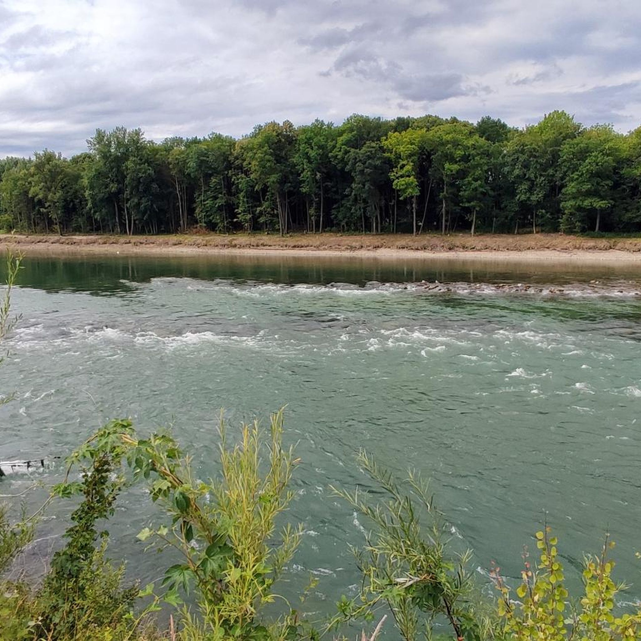
On the Kollerweg at the large oak tree above Ernsthofen we enjoy a wonderful view over the town, the Enns and Upper Austria.
0
0
Every year in April you can admire the beauty of the Mostviertler apple and pear trees.
0
0

http://guatsvomfellner.at/ petting zoo, good agricultural Products,
2
0
Frequently Asked Questions
How many hiking trails are available around Ernsthofen?
Ernsthofen offers a diverse network of over 40 hiking trails. These routes cater to various fitness levels, ranging from easy strolls to more moderate excursions through riverside paths, forests, and gentle hills.
Are there easy hikes suitable for beginners in Ernsthofen?
Yes, Ernsthofen has a good selection of easy hikes perfect for beginners. For example, the Blossoming Fruit Tree – Forest Path Near Ernsthofen loop from Ernsthofen is an easy 3.7-mile (6.0 km) trail that takes about 1 hour 41 minutes to complete, leading through orchards and forest paths.
What is the typical length of hikes around Ernsthofen?
Hikes around Ernsthofen vary in length. You can find shorter routes like the Gasthof Kirchenwirt Czepel loop from Ernsthofen, which is about 2.3 miles (3.7 km), or longer options such as the Gaissing Riverside Rest Area – Thaling Power Plant loop from Ernsthofen, which spans 10.0 miles (16.1 km).
Are there family-friendly hiking options in Ernsthofen?
Many trails in Ernsthofen are suitable for families, especially those with moderate elevation changes and well-maintained paths. The region's gentle hills and forest trails provide pleasant environments for all ages. Look for routes marked as 'easy' for the most family-friendly experiences.
Can I bring my dog on hiking trails in Ernsthofen?
Generally, dogs are welcome on hiking trails in Ernsthofen. However, it's always advisable to keep your dog on a leash, especially in agricultural areas, near livestock, or in nature protection zones. Please also remember to clean up after your pet.
When is the best time of year to go hiking in Ernsthofen?
The best time for hiking in Ernsthofen is typically from spring to autumn (April to October), when the weather is mild and the landscapes are vibrant. Spring offers blossoming fruit trees, while autumn provides beautiful foliage. Some trails may also be suitable for winter hiking, depending on snow conditions.
Are there many circular hiking routes around Ernsthofen?
Yes, Ernsthofen features numerous circular hiking routes, allowing you to start and end your journey in the same location. Examples include the Cellar smithy and pond – Ötscherblick Rest Area loop from Ernsthofen, which offers diverse scenery including a pond and viewpoints.
What interesting landmarks or attractions can I see along the hiking trails?
Hiking around Ernsthofen can lead you to several interesting sights. You might encounter natural monuments like The Picture Oak at Rohrberg or the Marbacher Linde. Some routes also offer views of the confluence of the Steyr and Enns rivers, or pass by historical sites such as the Historic center of Mauthausen.
Are there hiking routes in Ernsthofen that include a pub or restaurant stop?
Yes, some hiking routes in Ernsthofen are designed to pass by local eateries or offer opportunities for a refreshment stop. The Gasthof Kirchenwirt Czepel loop from Ernsthofen is an example of a route that incorporates a local inn, perfect for a break during your hike.
What do other hikers enjoy most about hiking in Ernsthofen?
The hiking trails around Ernsthofen are highly rated by the komoot community, with an average score of 4.5 stars from over 200 reviews. Hikers often praise the region's diverse landscapes, including peaceful riverside paths along the Enns, charming forest trails, and the gentle rolling hills that offer scenic views without overly strenuous climbs.
Which hikes offer the best scenic viewpoints in Ernsthofen?
For scenic viewpoints, consider routes that ascend to higher ground or pass by designated rest areas. The Cellar smithy and pond – Ötscherblick Rest Area loop from Ernsthofen, for instance, leads to a rest area known for its views, likely including glimpses of the Ötscher mountain on clear days.
Are hiking trailheads in Ernsthofen accessible by public transport?
While many trails in Ernsthofen are easily accessible by car, public transport options may vary. It's recommended to check local bus schedules or regional train connections to nearby towns like Enns or Mauthausen, and then plan your route to a trailhead from there. Some routes might start directly from the village center of Ernsthofen.
Most popular routes around Ernsthofen
Most popular attractions around Ernsthofen

Get inspired with the komoot mobile app


Explore more
Browse the best Hikes in other regions.
