The best road cycling routes around Marietta
4.8
(8)
324
riders
33
rides
Road cycling routes around Marietta offer a diverse landscape for riders. The region features varied terrain, including riverfront paths and areas with moderate elevation changes. Cyclists can explore routes that traverse alongside waterways and through natural areas. The network provides options for different skill levels, from gentle, flat sections to routes with more sustained climbs.
Best road cycling routes around Marietta
- The most popular road cycling route is White Cliffs of Conoy – Chickies Rock County Park loop from Columbia…
Last updated: October 5, 2026
5.0
(1)
83
riders
31.4km
01:27
140m
140m
Moderate road ride. Great for any fitness level. Some segments of this route may be unpaved and difficult to ride.
67
riders
Moderate road ride. Great for any fitness level. Some segments of this route may be unpaved and difficult to ride.

5.0
(1)
47
riders
Moderate road ride. Great for any fitness level. Some segments of this route may be unpaved and difficult to ride.
13
riders
16.8km
00:44
30m
30m
Easy road ride. Great for any fitness level. Mostly well-paved surfaces and easy to ride.
12
riders
68.3km
02:52
250m
250m
Moderate road ride. Good fitness required. Mostly well-paved surfaces and easy to ride.
Get access to more routes and recommendations from other explorers.
Already have an account?
Our route recommendations are based on thousands of hikes, rides, and runs completed by other people on komoot.
Start today with a free account
Your next adventure awaits.
Popular around Marietta

Tips from the Community

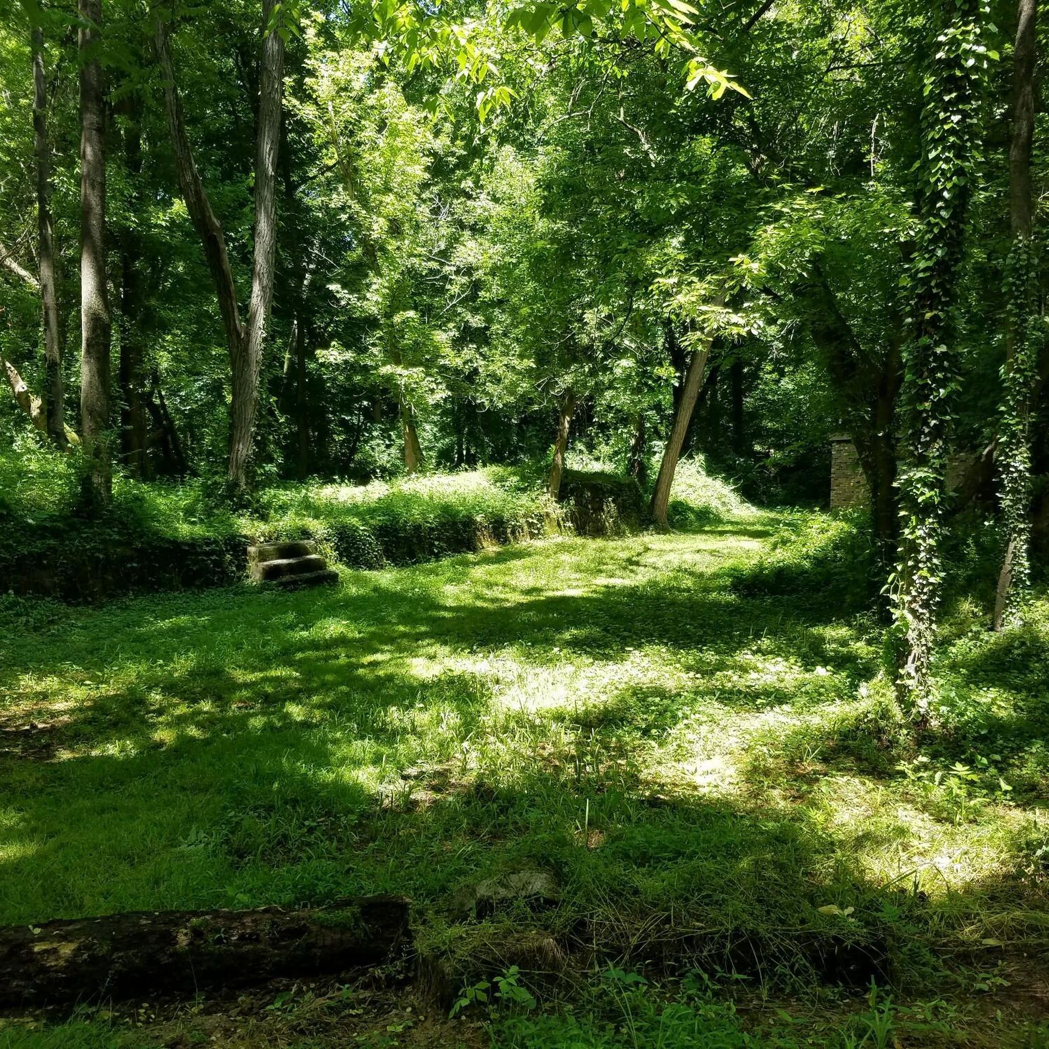
Here the bike path crosses scenic Chiques Creek. You can see the remnants of the Hiestand Saw Mill and Dam on the northwest side of the river.
0
0

The Chickies Rock Overlook Trail begins at a trailhead off of Chickies Hill Road and is a straightforward, packed trail to a great overlook. The trail runs along the remains of an old trolley line from the early 1900s which once led tourists to the overlook. It is a pretty popular spot, so be prepared to encounter other walkers, hikers and runners along the way and come early if you are hoping for a little solitude on the trail.
0
0

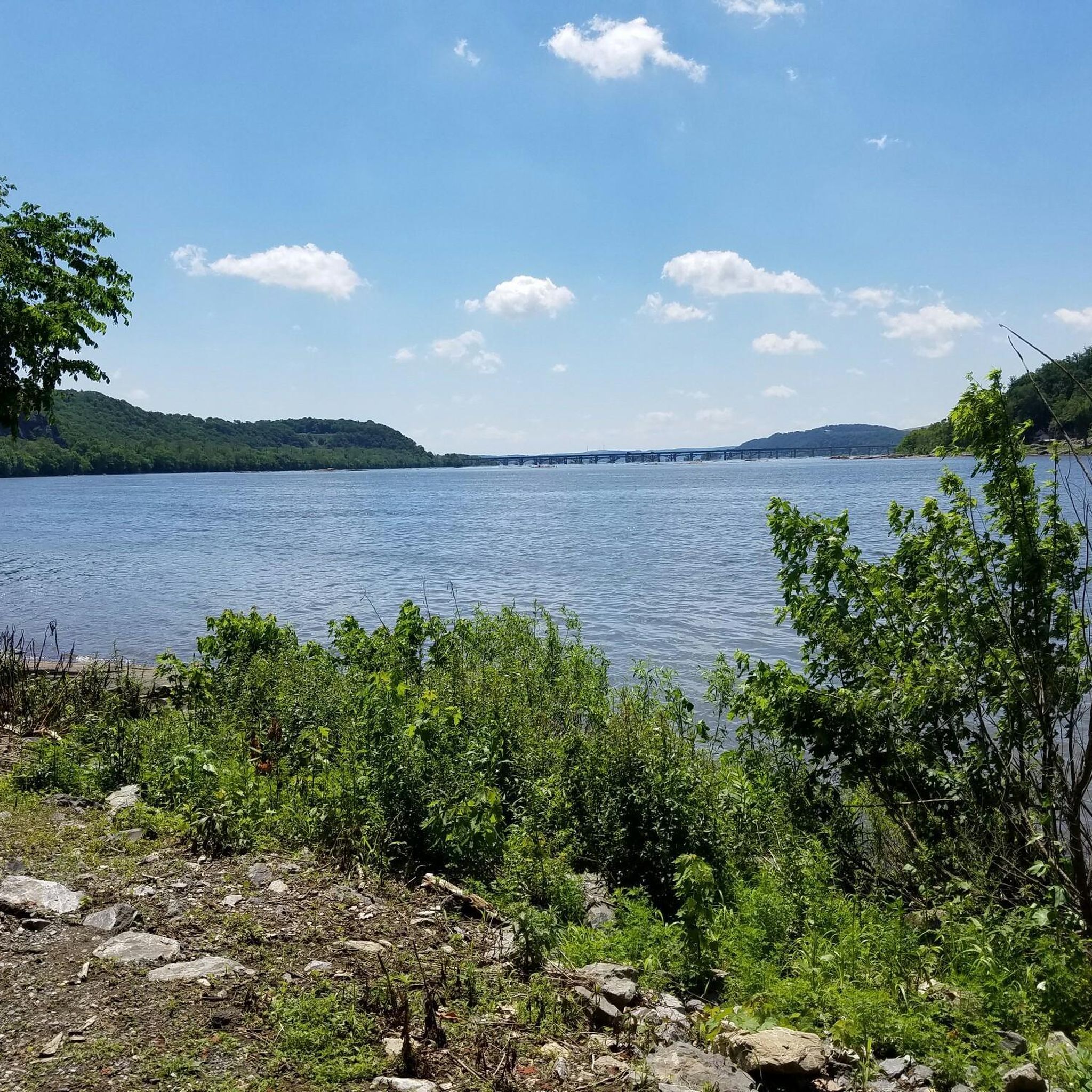
The Northwest Lancaster County River Trail is a multiuse trail that follows the Susquehanna River. It is fully paved and passes through farmland and woods. From the path there are great views of the river.
0
0

While the Susquehanna river trail is beautiful, parts of it can be muddy/flooded and sometimes impassable after heavy rain.
0
0

Waterville Bridge spans Swatara Creek, offering picturesque views of the water below. The bridge's architecture enhances the scenic beauty, creating a charming spot to appreciate the tranquil flow of Swatara Creek and the natural surroundings.
0
0

The White Cliffs of Conoy are a must-see. They sit nearly 30 feet above the riverbank and are the residue of a local limestone and dolomite quarry in the 1800's. The cliffs afford grand views of the Susquehanna River.
0
0
Chickies Rock County Park is a park on the banks of the Susquehanna River. There are multiple view points in the park that give a great vista of the river and woodlands on its bank. Northwest Lancaster County River Trail runs through the park.
0
0
The Northwest Lancaster County River Trail is a multiuse trail that follows the Susquehanna River. It is fully paved and passes through farmland and woods. From the path there are great views of the river.
0
0
Frequently Asked Questions
How many road cycling routes are available around Marietta?
Marietta offers 27 road cycling routes, catering to various skill levels. You'll find 7 easy routes, 19 moderate routes, and 1 difficult route for those seeking a greater challenge.
What kind of terrain can I expect on road cycling routes in Marietta?
The terrain around Marietta is quite varied, featuring hilly and wooded areas that provide scenic rides and some challenging climbs. You'll also find riverfront paths and dedicated paved trails like the Silver Comet Trail, which offers gentle slopes and long-distance riding without traffic. Routes can range from mostly flat sections to areas with moderate elevation changes.
Are there any family-friendly road cycling routes in Marietta?
Yes, Marietta has several options suitable for families. The Silver Comet Trail is particularly well-suited for family rides due to its paved, traffic-free nature and gentle slopes. Additionally, sections of the Mountain to River Trail, especially between Brown Park and Tower Road, are mostly flat and dedicated to bikes and pedestrians, making them great for leisure rides with family.
Where can I find scenic viewpoints along road cycling routes in Marietta?
For scenic views, consider routes that pass through Kennesaw Mountain National Battlefield Park, which can offer rewarding vistas, potentially including the Atlanta skyline from higher elevations. The Chattahoochee River National Recreation Area also provides scenic views of the river and surrounding forest. For specific viewpoints, the View of the Susquehanna River from Chickies Rock is a notable highlight.
Are there any long-distance road cycling routes in the Marietta area?
Absolutely. The Silver Comet Trail is a major draw for long-distance cyclists, offering 61.5 miles of paved, traffic-free riding. It even connects to the 33-mile Chief Ladiga Trail in Alabama, creating a continuous 94.5-mile route for extended rides. For a moderate loop with river views, consider the White Cliffs of Conoy – Chickies Rock County Park loop from Columbia, which covers 25.6 miles.
What are some notable landmarks or attractions I can see while cycling in Marietta?
While cycling, you can encounter several interesting landmarks and natural features. The White Cliffs of Conoy offer a unique natural sight. You might also cross or ride near impressive structures like the Safe Harbor Railroad Bridge or the Old Trolley Line Bridge. Kennesaw Mountain National Battlefield Park itself is a significant historical and natural attraction.
Are there road cycling routes with loop options in Marietta?
Yes, many routes in Marietta are designed as loops, offering a convenient way to start and end your ride in the same location. Examples include the Safe Harbor Railroad Bridge – Old Trolley Line Bridge loop from Columbia, a 17.2-mile moderate path, and the White Cliffs of Conoy – Chickies Rock County Park loop from River Front Park, which is 19.5 miles.
What do other road cyclists enjoy most about cycling in Marietta?
The road cycling routes around Marietta are highly rated by the komoot community, with an average score of 4.75 stars from over 6 reviews. Cyclists often praise the varied terrain, from riverfront paths to areas with gentle to moderate elevation changes, and the network of trails that offers options for different ability levels.
Is Kennesaw Mountain National Battlefield Park accessible for road cycling?
Kennesaw Mountain National Battlefield Park does offer cycling opportunities on its main roads and a multi-use paved trail. However, access to the mountain road has specific restrictions on weekends and holidays, so it's advisable to check their official guidelines before planning your ride. You can find more information on bicycling at the park on the National Park Service website.
Are there easy road cycling routes suitable for beginners in Marietta?
Beginners will find several easy road cycling routes in Marietta. The Silver Comet Trail is an excellent choice due to its flat, paved surface and lack of traffic. For a shorter, easy loop, consider the Safe Harbor Railroad Bridge loop from Marietta, which is 10.5 miles (16.8 km) with minimal elevation gain.
Where can I find parking for bike trails in Marietta?
Many of Marietta's popular bike trails, such as the Silver Comet Trail and those within Kennesaw Mountain National Battlefield Park, offer designated parking areas. For specific routes, it's always a good idea to check the route details on komoot or the respective park websites for parking information at trailheads.
What is the best time of year for road biking in Marietta?
Marietta generally offers pleasant cycling conditions during spring and fall, when temperatures are mild and the natural scenery is vibrant. Summer can be hot and humid, while winter is typically mild but can have occasional cold snaps. Always check local weather conditions before heading out.
Most popular attractions around Marietta

Get inspired with the komoot mobile app


Explore more
Browse the best Road cycling routes in other regions.
