The best road cycling routes around Mount Oliver
4.7
(39)
2,283
riders
143
rides
Road cycling routes around Mount Oliver are characterized by the region's challenging, hilly terrain and integration into the greater Pittsburgh area. This landscape features exceptionally steep streets, providing rigorous training opportunities. The area also offers access to extensive trail networks, including riverfront paths and longer rail-trails, which provide varied experiences for road cyclists.
Best road cycling routes around Mount Oliver
- The most popular road cycling route is Three Rivers Heritage Trail and Highland Park Loop, a 23.5 miles (37.9…
Last updated: June 29, 2026
12
riders
37.9km
01:49
330m
330m
Moderate road ride. Good fitness required. Some segments of this route may be unpaved and difficult to ride.
5.0
(1)
142
riders
Moderate road ride. Good fitness required. Some segments of this route may be unpaved and difficult to ride.

Sign up for free
5.0
(1)
43
riders
37.5km
01:53
200m
200m
Easy road ride. Great for any fitness level. Mostly well-paved surfaces and easy to ride.
5.0
(2)
58
riders
Moderate road ride. Great for any fitness level. Some segments of this route may be unpaved and difficult to ride.
3.0
(1)
27
riders
23.3km
01:14
230m
230m
Easy road ride. Great for any fitness level. Mostly well-paved surfaces and easy to ride.
Get access to more routes and recommendations from other explorers.
Sign up for free
Already have an account?
Our route recommendations are based on thousands of hikes, rides, and runs completed by other people on komoot.
Start today with a free account
Your next adventure awaits.
Login or Signup



Tips from the Community

Great ride along the river with several places to pull off and enjoy the view.
0
0


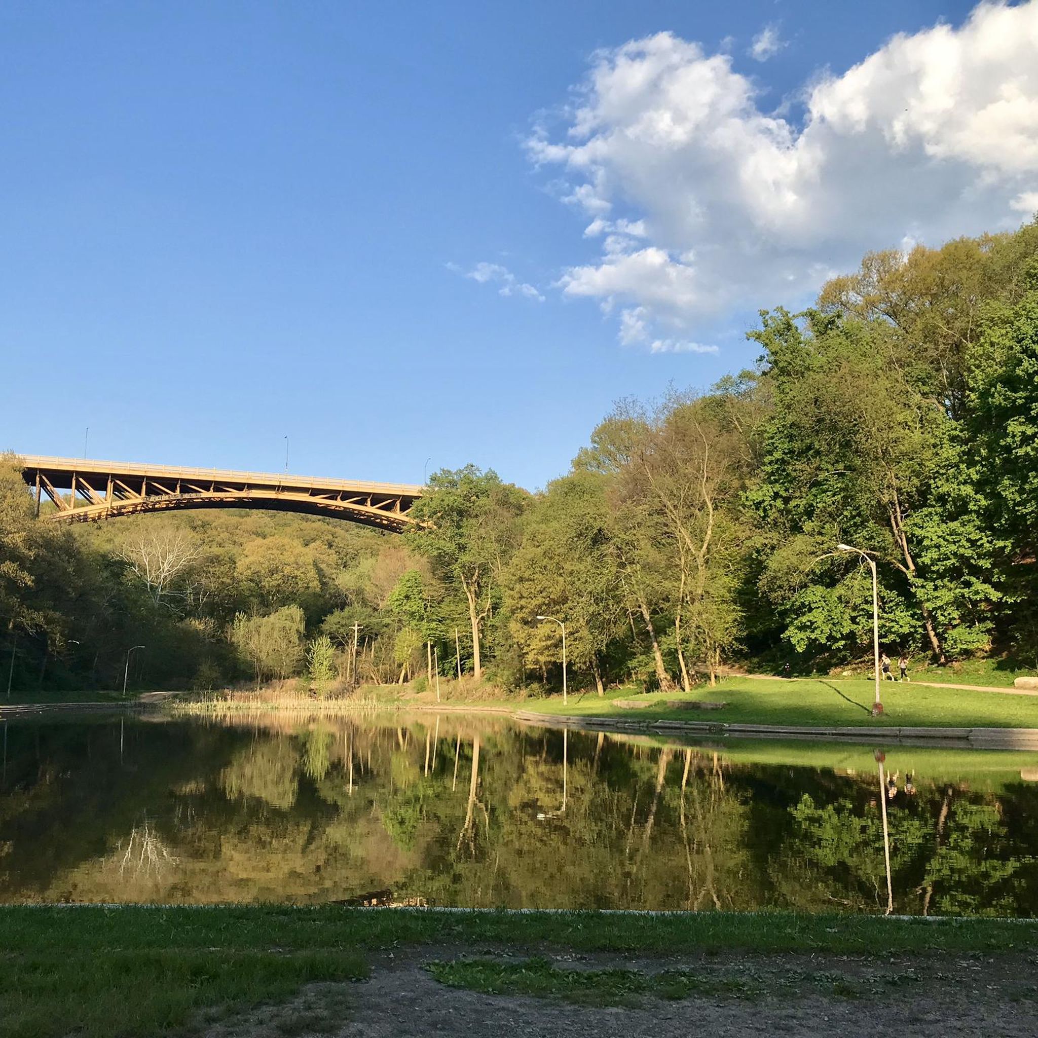
The bridges of Pittsburgh are just magnificent
0
0


If You need water, don't count on public water fountains in Pittsburgh because they barely ever get turned on.
1
0
This is where the Allegheny River and the Monongahela River meat to form the Ohio River.
1
0

The Hot Metal Bridge is one of the most recognizable landmarks along the GAP. It crosses the Monongahela River and was an important bridge during the city's industrial heyday. Now, it is a great place to cross by bike and get a wonderful view of the city and river below.
1
0
Frequently Asked Questions
How challenging is road cycling around Mount Oliver?
Road cycling around Mount Oliver is known for its challenging, hilly terrain, including exceptionally steep streets that provide rigorous training opportunities. The region is part of the greater Pittsburgh area, which features some of the steepest streets globally, such as Canton Avenue with a 37% gradient. While there are easier options, many routes offer significant elevation gains for experienced cyclists.
Are there road cycling routes suitable for families or beginners?
Yes, while the area is known for its challenging climbs, there are also easier routes. For example, the Hot Metal Bridge – Eliza Furnace Trail loop from University of Pittsburgh is an easy 6.2-mile route that leads through urban greenways and along the Monongahela River. Another easy option is the Point State Park – North Shore Trail loop from Forbes Field Oufield Wall and Flagpole, offering 25 miles of scenic riding.
What are some notable landmarks or attractions I might see while cycling?
Many routes offer views of significant landmarks. For instance, the Homestead Pump House – Three Rivers Heritage Trail loop from Steel Plaza connects historical industrial sites like the Homestead Pump House with urban landscapes. You might also encounter the Hot Metal Bridge, Acrisure Stadium, or the Fort Pitt Block House on various routes.
What is the best time of year for road cycling in Mount Oliver?
The region is particularly popular for cycling during August and September, offering pleasant weather conditions for exploring the diverse terrain. However, the extensive trail networks and urban routes can be enjoyed throughout the warmer months.
Where can I find parking for road cycling routes near Mount Oliver?
Given Mount Oliver's integration into the greater Pittsburgh area, parking is generally available near trailheads and urban starting points. Many routes, especially those along the riverfront trails, have designated parking areas in city parks or near attractions. It's advisable to check specific route details for the most convenient parking options.
Are there options for longer, multi-day road cycling adventures?
Yes, Mount Oliver's proximity to Pittsburgh provides access to major trail systems like the Great Allegheny Passage (GAP) and the Montour Trail. The GAP offers picturesque views and historical sites, connecting to other trails for extended cycling adventures. The Montour Trail, known as the longest suburban rail-trail in the U.S., provides a largely flat riding experience for over 47 miles and connects to the GAP, offering diverse options for longer rides.
What kind of terrain can I expect on Mount Oliver's road cycling routes?
You can expect a mix of challenging hilly topography with steep urban streets, alongside more leisurely riverfront paths. The area offers everything from intense climbs on some of the world's steepest streets to scenic rides along the Three Rivers Heritage Trail, providing varied experiences for all skill levels.
Are there any circular road cycling routes available?
Many of the popular routes around Mount Oliver are designed as loops, offering circular journeys. For example, the Three Rivers Heritage Trail and Highland Park Loop is a moderate 23.5-mile circular route that offers scenic views along the riverfront and through urban parks.
What do other cyclists say about the road cycling experience in Mount Oliver?
The road cycling routes in Mount Oliver are highly rated by the komoot community, with an average score of 4.51 stars from over 29 reviews. Cyclists often praise the varied terrain, from challenging climbs to scenic riverfront paths, and the accessibility to extensive trail networks.
Can I access road cycling routes using public transport?
Given Mount Oliver's location within the greater Pittsburgh area, many urban and riverfront routes are accessible via public transport. Pittsburgh's public transit system can connect you to various starting points for trails like the Three Rivers Heritage Trail, making it convenient to reach cycling routes without a car.
Are there any easy-to-access scenic routes for a shorter ride?
Absolutely. The Eliza Furnace Trail loop from Forbes Field Oufield Wall and Flagpole is an easy 7.8-mile route, perfect for a shorter, scenic ride. It offers a pleasant experience through urban greenways and along the Monongahela River.
Where can I find refreshments or places to stop along the routes?
Many routes, especially those traversing urban areas or popular trail networks like the Three Rivers Heritage Trail, pass through neighborhoods with cafes, pubs, and restaurants. Pittsburgh's vibrant city center and surrounding districts offer numerous options for refreshments and stops along your ride.
How many road cycling routes are available in the Mount Oliver area?
There are over 140 road cycling routes available around Mount Oliver, offering a wide variety of distances and difficulty levels to suit different preferences and fitness levels.
Most popular attractions around Mount Oliver

Get inspired with the komoot mobile app


Explore more
Browse the best Road cycling routes in other regions.
