The best road cycling routes around Jefferson Hills
4.8
(4)
582
riders
35
rides
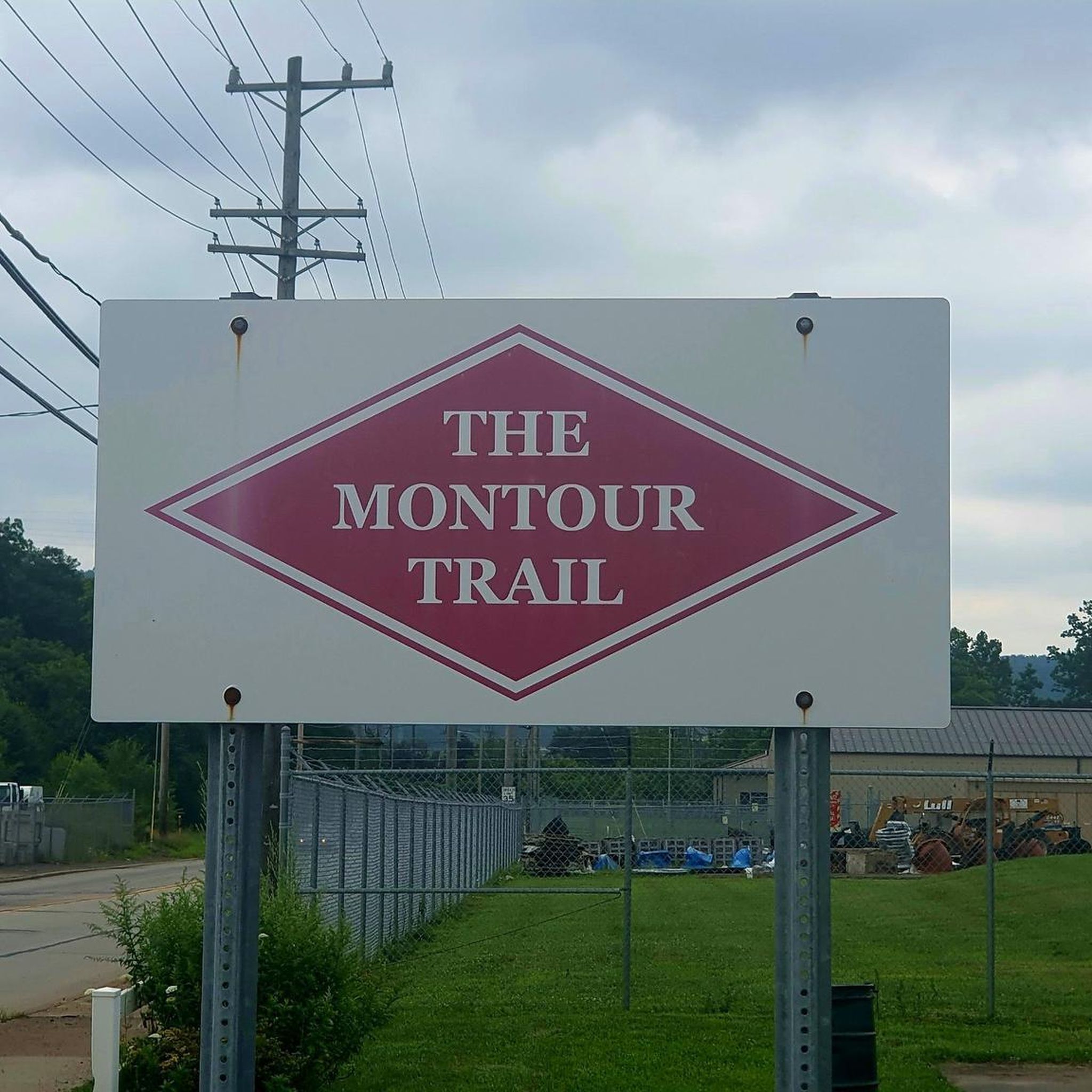
Road cycling around Jefferson Hills, Pennsylvania, is characterized by rolling hills and forests, offering a dynamic and scenic experience. The region's southeastern border is defined by the Monongahela River, providing riverfront views and pathways. While dedicated paved road cycling routes within the borough are not extensively detailed, the local roads present varied terrain with elevation changes. Access to extensive multi-use trail networks, such as the Great Allegheny Passage and Montour Trail, further enhances cycling opportunities.
Best road cycling routes around…
Last updated: August 9, 2026
5.0
(2)
226
riders
61.2km
02:56
340m
340m
Moderate road ride. Good fitness required. Mostly well-paved surfaces and easy to ride.
12.5km
00:42
160m
160m
Easy road ride. Great for any fitness level. Mostly well-paved surfaces and easy to ride.

Sign up for free
4.5
(2)
200
riders
101km
05:19
820m
820m
Hard road ride. Very good fitness required. Some segments of this route may be unpaved and difficult to ride.
21
riders
Moderate road ride. Good fitness required. Some segments of this route may be unpaved and difficult to ride.
18
riders
27.3km
01:31
400m
400m
Moderate road ride. Good fitness required. Mostly well-paved surfaces and easy to ride.
Get access to more routes and recommendations from other explorers.
Sign up for free
Already have an account?
Our route recommendations are based on thousands of hikes, rides, and runs completed by other people on komoot.
Start today with a free account
Your next adventure awaits.
Login or Signup




Tips from the Community

Color park is really pretty butt getting to it from the point is a little rough with the brick roads.
0
0

Great ride along the river with several places to pull off and enjoy the view.
0
0

This is a good place to take a break on a hot day, as the waterfall produces cold wind. DO NOT DRINK this water, It is from an acid mine and the red-orange color comes from iron and rust.
1
0
If You need water, don't count on public water fountains in Pittsburgh because they barely ever get turned on.
1
0
This is where the Allegheny River and the Monongahela River meat to form the Ohio River.
1
0

S THE WATERFALL Demonstrating acid mnine drainage The water here is acid and iron-rich, coming up to the surface from underground mines, stairung the-rocks ruspred. Acid mine drainage (AMID) is a major source of water pollution. Cause of extensive stream environmental damage. The Ocean Coal Company, a subsidiaries of Bevind- White Coal Company Philadelphia, PA, esaiblished several mines in this region including, in 1900, Ocean No. 2. It is purported that drainage from ocean No. 2 is the chief cause of the Red Waterfall Why is it acidic and full of iron? Hundreds of millions of years ago, the massive Pittsburgh Coal Seam formed underneath parts of Pennsylvania, West Virginia, and Ohiờ from ancient swamp plants. Sand, silts, shells, and other -matter were deposited and made a rock seal over the carbon-rich vegetation, This rock contained the mineral "pyrite," made of iron and sulfur Coal mining exposes pyrite to oxygen and ground water causing the formation of sulfuric acid and a number of red, orange, and yellow compound s. AMD occurs when this mine water seeps, or in this-case, bursts out into Streams. The yellow sulfur can be seen in the shale near coal seams. GRESCHIN DASSAGE SPONSORED BY: Southwestern PA Heritage Breservation- Commission Allegheny Trail Alliances Regional Trail Corpofation For moterinformation. www.gaptrail.org
0
0

The Red Waterfall is one of the main highlights on the GAP between West Newton and McKeesport. The falls gets its name from the water that has been colored red by nearby underground coal mines, which has made the water acidic and iron-rich water.
0
0
Frequently Asked Questions
How many road cycling routes are available in Jefferson Hills?
There are over 30 road cycling routes around Jefferson Hills, offering a variety of experiences for different skill levels. You can find routes ranging from easy loops to more challenging long-distance rides.
What kind of terrain can I expect on road cycling routes in Jefferson Hills?
Road cycling in Jefferson Hills is characterized by rolling hills and forests, providing a dynamic and scenic experience. While local roads offer varied terrain with elevation changes, you'll also find access to extensive multi-use trail networks like the Great Allegheny Passage and Montour Trail, which feature mostly crushed limestone surfaces, though some sections are paved.
Are there any easy or beginner-friendly road cycling routes in the area?
Yes, Jefferson Hills offers several easy routes suitable for beginners or those looking for a more relaxed ride. An example is the South Park and Buffalo Ridge Loop, an easy 7.8-mile path featuring varied terrain through South Park.
What are some challenging road cycling routes around Jefferson Hills?
For those seeking a challenge, routes like the Point State Park – Homestead Pump House loop from Glassport offer a difficult 62.2-mile journey through urban and riverfront landscapes with significant elevation changes. Many routes in the region feature rolling hills that provide a good workout.
Can I find scenic viewpoints or landmarks along the road cycling routes?
Absolutely. The region boasts scenic views, especially along the Monongahela River. You might encounter landmarks such as the historic McKeesport Connecting Railroad Bridge. The View of Phantom’s Revenge at Kennywood Park is also visible from nearby trail sections, offering a unique sight.
Are there multi-use trails accessible for road cyclists in Jefferson Hills?
Yes, Jefferson Hills provides excellent access to major multi-use trail systems. The renowned Great Allegheny Passage (GAP) and the Montour Trail are easily accessible. While much of these trails are crushed limestone, some sections are paved, and wider tires (32mm or larger) or hybrid/gravel bikes are generally recommended for comfort on the unpaved portions.
What are the best times of year for road cycling in Jefferson Hills?
The spring and fall seasons generally offer the most pleasant weather for road cycling in Jefferson Hills, with moderate temperatures and beautiful foliage. Summer can be enjoyable, but be prepared for warmer temperatures and potential humidity. Winter cycling is possible, but conditions may vary, with some trails potentially being less suitable due to snow or ice.
Are the trails in Jefferson Hills suitable for families or those cycling with dogs?
While the local roads offer varied terrain, the multi-use trails like the Great Allegheny Passage and Montour Trail are generally more suitable for families and those cycling with dogs, as they often provide flatter, off-road experiences. Always check specific trail regulations regarding dogs.
Where can I find parking for road cycling routes in Jefferson Hills?
Parking is available at various access points for the major trail systems. For the Great Allegheny Passage, local trailheads in Jefferson Hills can be found at Triphammer Road, Gill Hall Road, Route 51 - Large, and Clairton. Specific parking information for other routes may vary, so it's advisable to check route details before your ride.
What do other cyclists say about road cycling in Jefferson Hills?
The road cycling routes in Jefferson Hills are highly rated by the komoot community, with an average score of 4.8 stars from 5 reviews. Cyclists often praise the varied terrain, scenic views, and the extensive network of trails that offer diverse riding experiences.
Are there any loop routes for road cyclists in Jefferson Hills?
Yes, there are several loop routes available. For instance, the South Park Turtle Pond – Duck Pond loop from South Park Township is a moderate 15.4-mile route that takes you through scenic areas, including the South Park Turtle Pond and Duck Pond.
What natural features can I expect to see while cycling in Jefferson Hills?
You'll encounter a landscape rich with rolling hills and forests. The Monongahela River forms the southeastern border, offering picturesque riverfront views. Several local streams, including Peters Creek, Beam Run, and Lewis Run, also flow through the area, adding to its natural beauty. A unique natural feature along the GAP trail is the Red Waterfall, known for its striking red-orange color.
Most popular attractions around Jefferson Hills

Get inspired with the komoot mobile app


Explore more
Browse the best Road cycling routes in other regions.
