The best road cycling routes around Ering
4.6
(311)
5,491
riders
12
rides
Road biking Ering, Germany, provides diverse routes through the picturesque Lower Bavaria region, characterized by its location along the Inn River. The area features a mix of floodplain landscapes, rolling hills, and forests, offering varied terrain for road cyclists. Many routes traverse the European Reserve on the Lower Inn, known for its natural beauty and well-paved surfaces suitable for different fitness levels.
Best road cycling routes around Ering
- The most popular road cycling route is Aenus Sculpture – Eglsee Bird-Watching…
Last updated: October 7, 2026
16
riders
38.1km
01:48
410m
410m
Moderate road ride. Good fitness required. Mostly well-paved surfaces and easy to ride.
18
riders
39.3km
01:38
80m
80m
Easy road ride. Great for any fitness level. Mostly well-paved surfaces and easy to ride.

5.0
(3)
18
riders
55.7km
02:24
370m
370m
Moderate road ride. Good fitness required. Mostly well-paved surfaces and easy to ride.
5.0
(2)
17
riders
54.9km
02:31
200m
200m
Moderate road ride. Good fitness required. Mostly well-paved surfaces and easy to ride.
17
riders
Easy road ride. Great for any fitness level. Mostly well-paved surfaces and easy to ride.
Get access to more routes and recommendations from other explorers.
Already have an account?
Our route recommendations are based on thousands of hikes, rides, and runs completed by other people on komoot.
Start today with a free account
Your next adventure awaits.
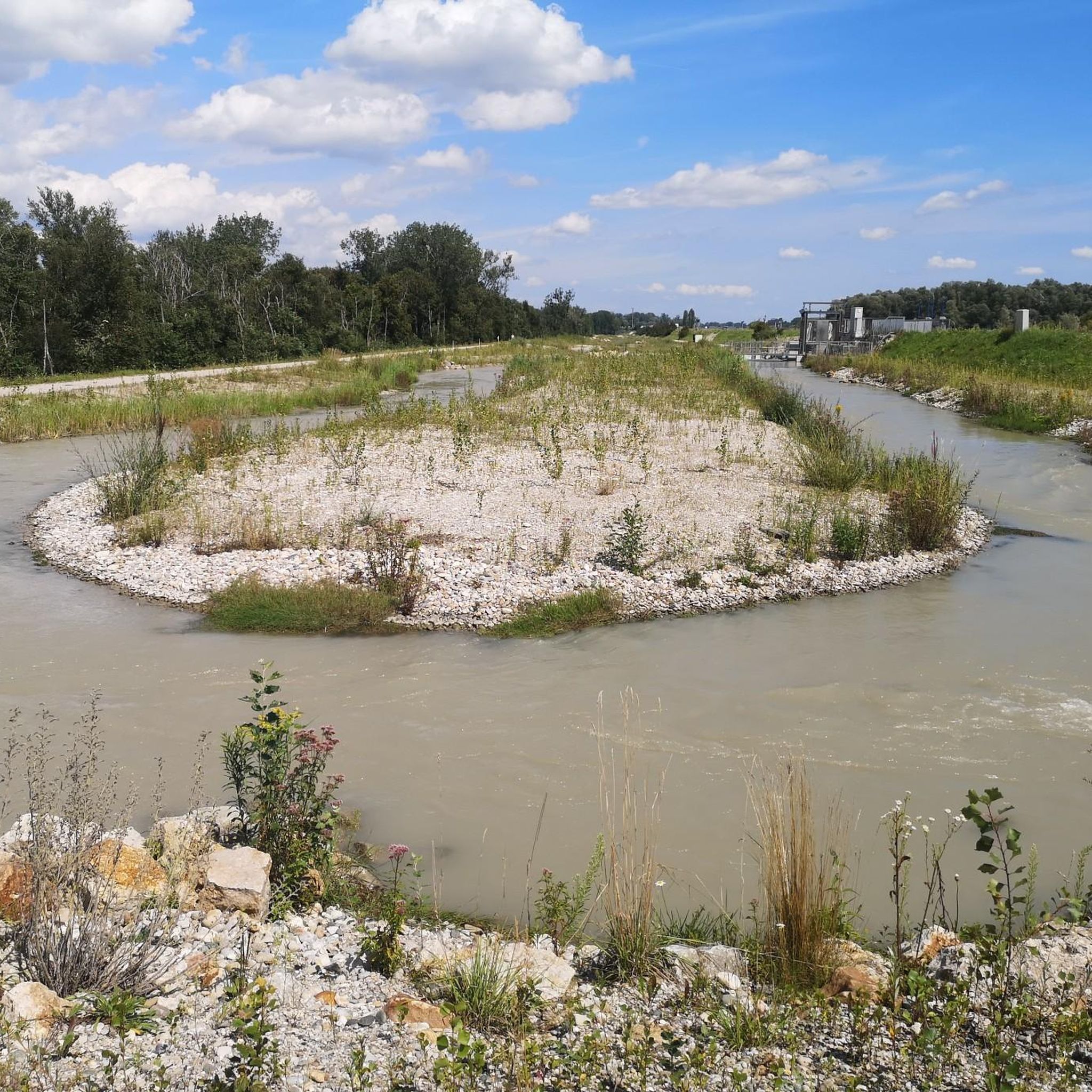
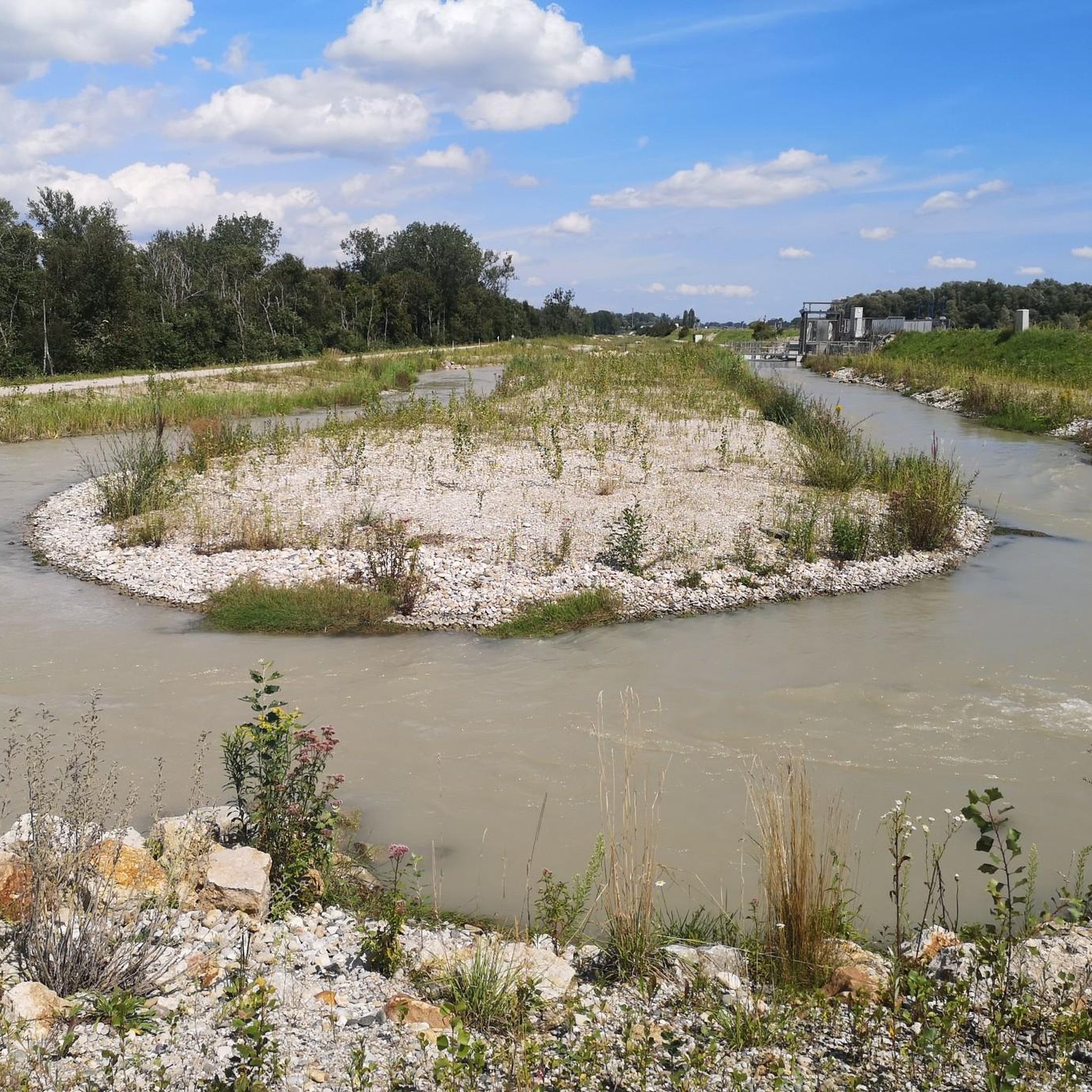
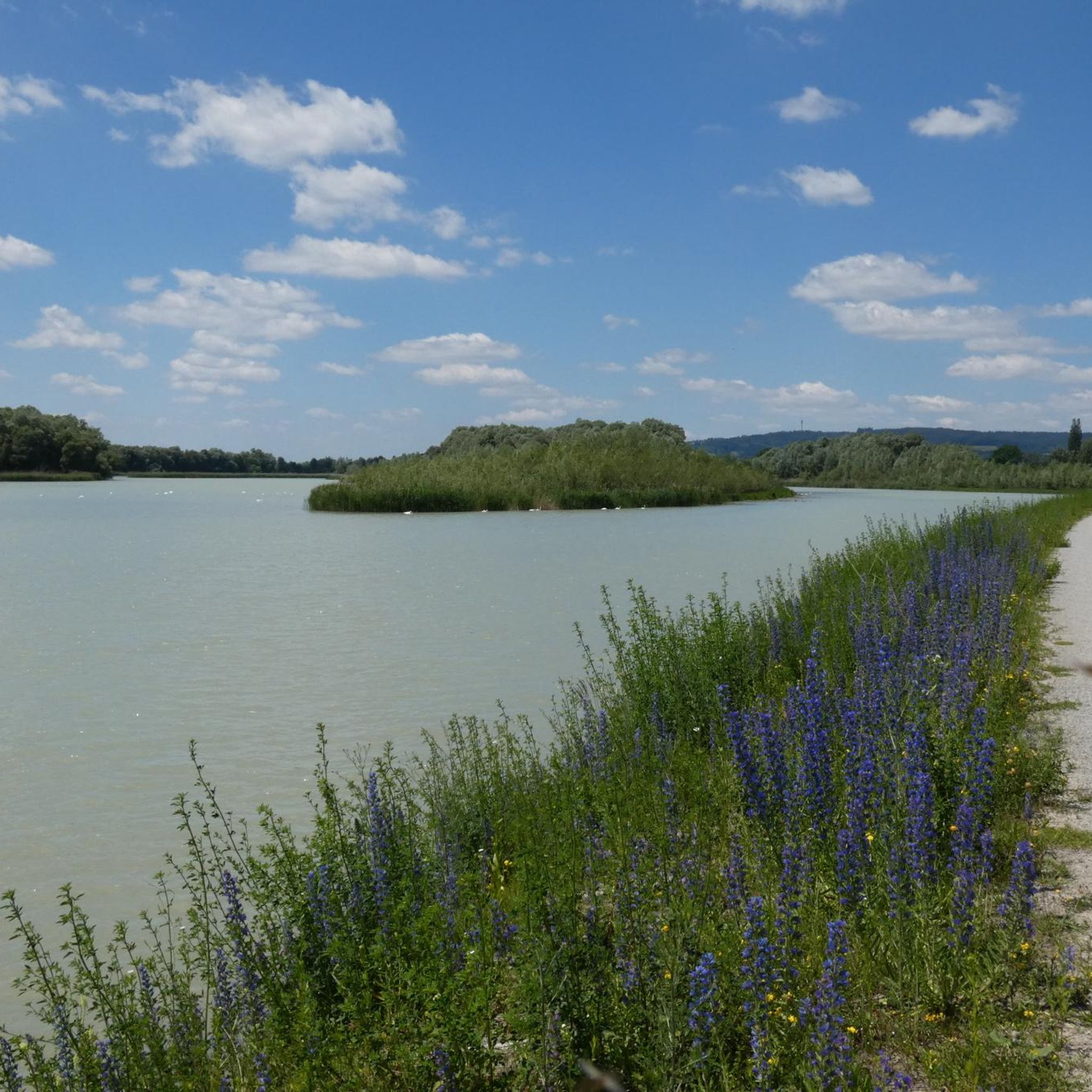
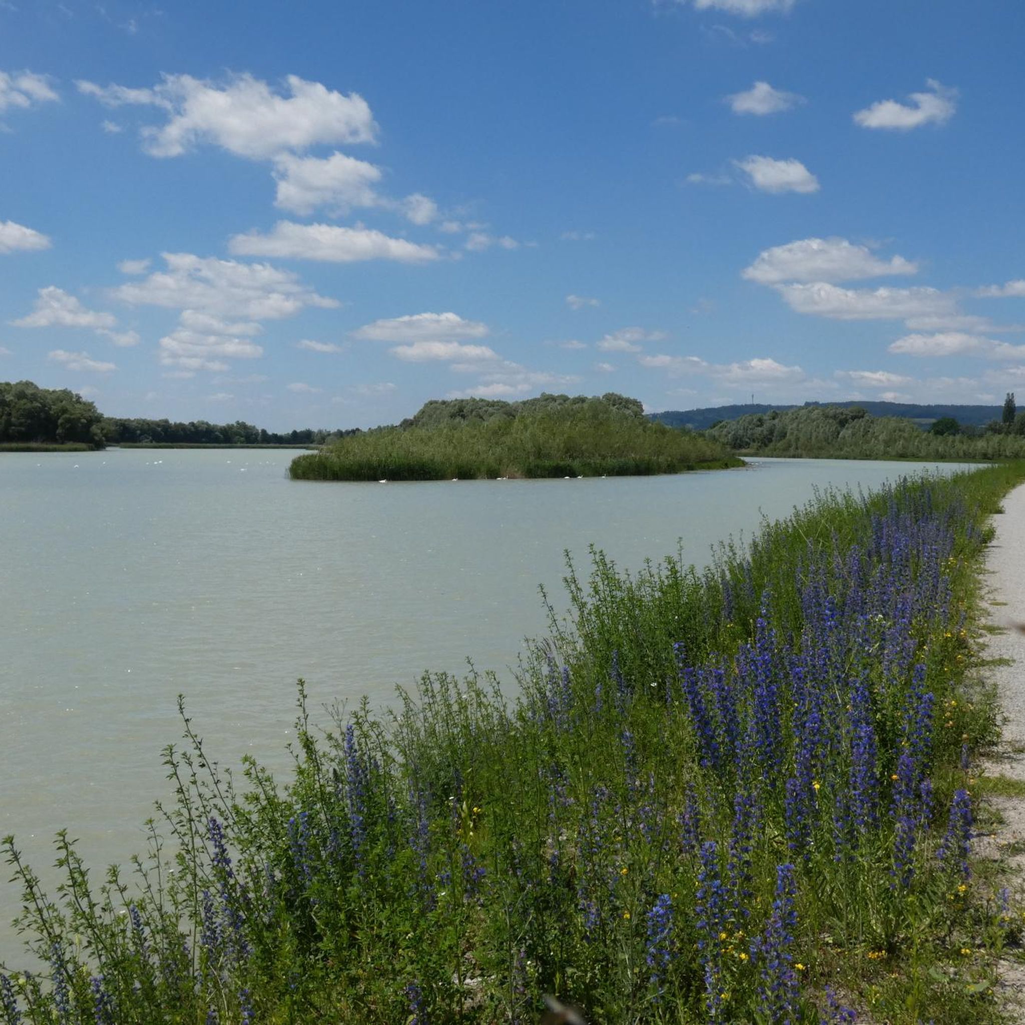
Tips from the Community

At every corner you are reminded of Baden
0
0
Great event location near the Inn.
0
0
Yes, something is already being done here for all swimmers ;-)
0
0

Also a good place to stop for refreshments
0
0
The small Bavarian-Austrian border crossing
0
0
Historically, the route also has a lot to offer,
0
0

Great mill wheel that's still active
0
0
Frequently Asked Questions
What kind of terrain can I expect when road cycling around Ering?
Road cycling around Ering, Germany, offers a diverse landscape characterized by its location along the Inn River. You'll find a mix of floodplain areas, gentle rolling hills, and forests. Many routes traverse the European Reserve on the Lower Inn, providing well-paved surfaces suitable for various fitness levels.
How many road cycling routes are available in the Ering area?
There are over 400 road cycling routes around Ering, catering to different skill levels. This includes nearly 100 easy routes, over 300 moderate routes, and a selection of more challenging options.
Are there any easy road cycling routes suitable for beginners in Ering?
Yes, Ering offers numerous easy road cycling routes. An excellent option is the Braunau Town Square – Braunau Town Hall loop from Hagenau im Innkreis, an easy 27.5-mile (44.3 km) path with gentle gradients that passes through scenic towns along the Inn River. Another easy route is the Roadbike loop from Prienbach, covering about 8.5 miles (13.6 km).
What are some scenic viewpoints or natural features to look out for on road cycling routes in Ering?
Many routes in Ering offer picturesque views, especially those along the Inn River and through the European Reserve on the Lower Inn. You can visit the Eglsee Bird-Watching Tower, which is part of the popular Aenus Sculpture – Eglsee Bird-Watching Tower loop from Münchham. Other natural highlights include the Waldsee Simbach am Inn and the Gries Bathing Lake.
Are there any circular road cycling routes around Ering?
Yes, many road cycling routes in Ering are designed as loops. Popular examples include the Aenus Sculpture – Eglsee Bird-Watching Tower loop from Münchham, a 34.5-mile (55.5 km) moderate route, and the Eglsee Bird-Watching Tower – Buchschachen Intersection loop from Ering, a 23.2-mile (37.4 km) moderate trail.
What do other road cyclists enjoy the most about road cycling in Ering?
The road cycling routes in Ering are highly rated by the komoot community, with an average score of 4.6 stars from over 240 reviews. Cyclists often praise the varied terrain, the scenic views along the Inn River, and the well-maintained paths within the European Reserve on the Lower Inn, which cater to different ability levels.
Are there any historical landmarks or points of interest along the road cycling routes?
While cycling, you might encounter historical sites such as Hagenau Castle, which is near some of the cycling paths. The routes also pass through charming towns along the Inn River, offering glimpses into the region's heritage.
What is the typical duration for a road cycling route in Ering?
Route durations vary significantly based on distance and difficulty. For example, the moderate Aenus Sculpture – Eglsee Bird-Watching Tower loop from Münchham typically takes around 2 hours and 22 minutes, while the shorter, easy Roadbike loop from Prienbach can be completed in about 34 minutes.
Are there any family-friendly road cycling paths in Ering?
Yes, the Ering area offers several easy routes with gentle gradients that are suitable for families. The Braunau Town Square – Braunau Town Hall loop from Hagenau im Innkreis is a great option, providing a pleasant ride through scenic towns without significant elevation changes. The Aigen am Inn town center – Terrace at Grün Café loop from Malching is another easy, relatively flat route.
What is the elevation gain like on road cycling routes in Ering?
The elevation gain varies across routes, reflecting the mix of floodplain and rolling hills. Easy routes like the Aigen am Inn town center – Terrace at Grün Café loop from Malching have minimal elevation gain (around 168 feet or 51 meters). Moderate routes, such as the Aenus Sculpture – Eglsee Bird-Watching Tower loop from Münchham, feature more significant climbs, with an elevation gain of about 1198 feet (365 meters).
Most popular attractions around Ering

Get inspired with the komoot mobile app


Explore more
Browse the best Road cycling routes in other regions.
