The best road cycling routes around Lincoln Beach
5.0
(2)
61
riders
6
rides
Road cycling routes around Lincoln Beach are characterized by the Oregon Coast's varied terrain, featuring coastal roads, lakefront paths, and river valleys. The region offers a mix of flat sections along the shore and significant elevation changes as routes venture inland or along bluffs. Road cyclists can expect to encounter diverse landscapes, from open ocean views to more sheltered areas alongside lakes and rivers.
Best road cycling routes around Lincoln Beach
- The most popular road cycling route is Oregon Coast…
Last updated: September 28, 2026
5.0
(1)
11
riders
105km
04:53
1,180m
1,180m
Hard road ride. Very good fitness required. Mostly well-paved surfaces and easy to ride.
6
riders
51.9km
02:35
760m
760m
Moderate road ride. Good fitness required. Mostly well-paved surfaces and easy to ride.

21
riders
191km
08:48
1,930m
1,930m
Hard road ride. Very good fitness required. Some segments of this route may be unpaved and difficult to ride.
10
riders
58.4km
03:01
790m
790m
Moderate road ride. Good fitness required. Some segments of this route may be unpaved and difficult to ride.
5.0
(1)
6
riders
Moderate road ride. Good fitness required. Mostly well-paved surfaces and easy to ride.
Our route recommendations are based on thousands of hikes, rides, and runs completed by other people on komoot.
Start today with a free account
Your next adventure awaits.
Popular around Lincoln Beach
Tips from the Community

Fantastic
0
0

Depoe Bay is a city in Lincoln County, Oregon, located on Route 101 on the Pacific Ocean. The bay of the same name is a 6-acre (2.4 ha) harbor, which the city promotes as the smallest navigable harbor in the world. Depoe Bay was named after Siletz Indian Charles "Charley" Depot, to whom the land was originally granted in 1894 as part of the Dawes Act of 1887. There are conflicting accounts of the origin of his name. It is said that he received the name "Depot Charley" because he worked at the military depot near Toledo, Oregon. The family later became known as "DePoe." His original tribal affiliation was Tututni. In 1975, the fishing trip sequence in One Flew Over the Cuckoo's Nest was filmed in Depoe Bay. In 1983, the harbor sequence in Hysterical was filmed in Depoe Bay, with the Depoe Bay Bridge prominently featured in the background. In 2008, restaurant scenes from The Burning Plain were filmed in Depoe Bay at the Tidal Raves restaurant. On March 11, 2011, the Depoe Bay harbor was damaged by a tsunami caused by the Tohoku earthquake off the coast of Japan. On August 21, 2017, Depoe Bay was one of the first places in the United States to experience the entirety of that year's North American solar eclipse.
0
0
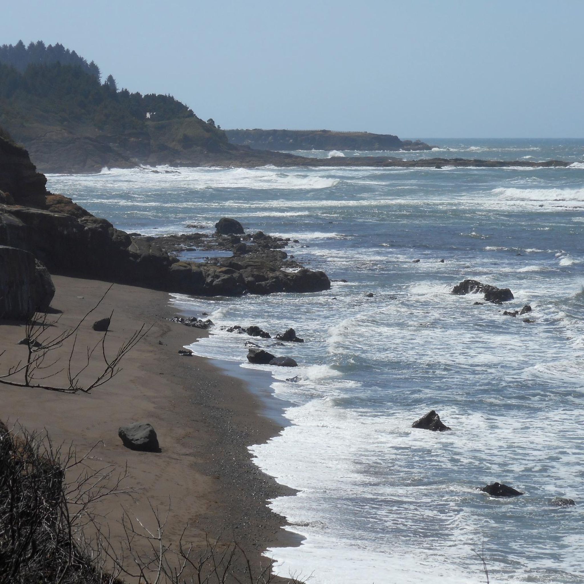
A wondrous and rugged bay rimmed with basalt. Boiler Bay is a great place to watch wild surfing action on the rocky spurs. This magnificent panoramic view offers a great opportunity to see gray whales all year round. Bring your binoculars - this is one of the best places in Oregon to see oceanic birds (like shearwaters, jaegers, albatrosses, grebes, pelicans, loons, oystercatchers and murrelets). In 1910 an explosion sank the J. Marhoffer and you can see the ship's boiler at low tide.
0
0

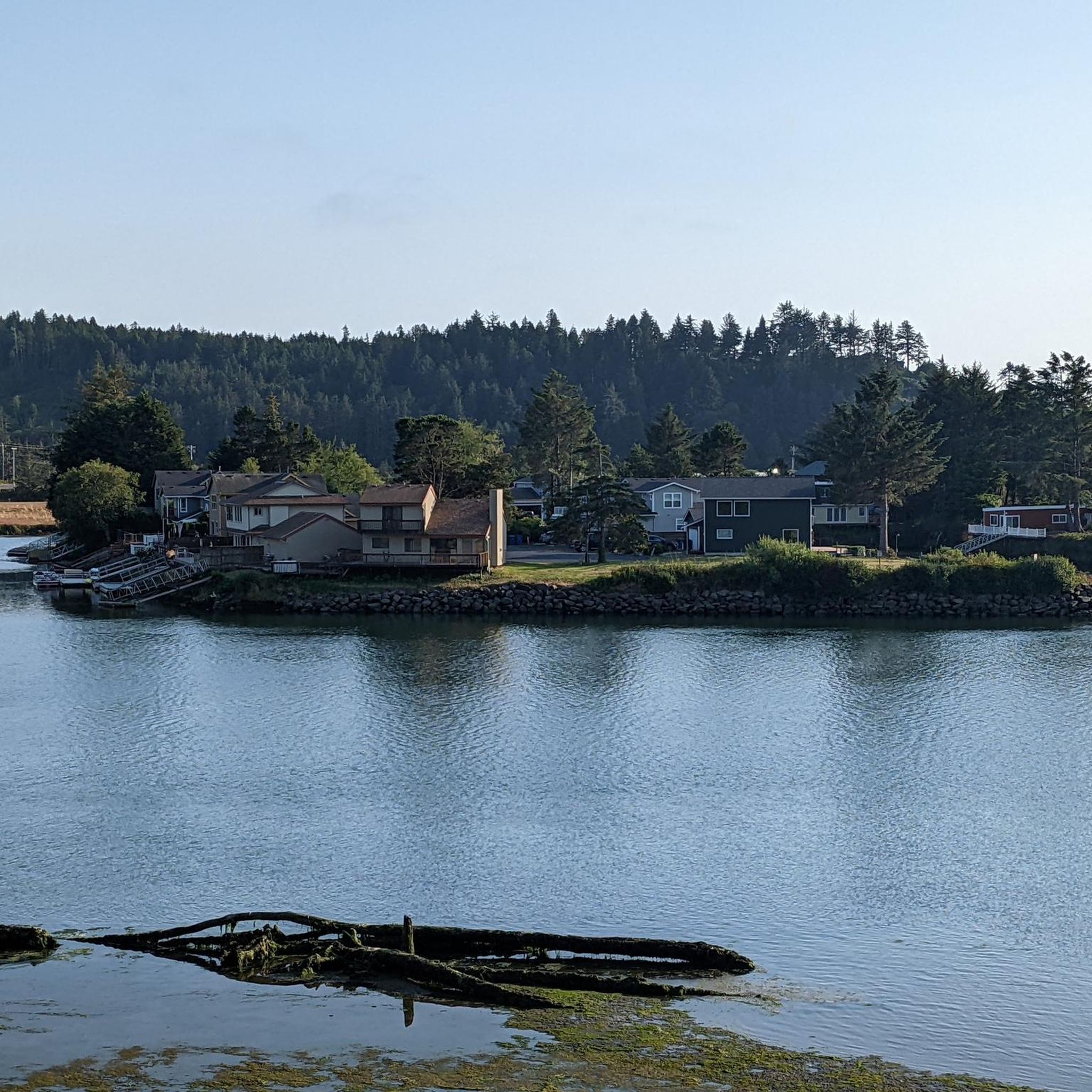
This state park lies on the north side of Yaquina Bay, where the Yaquina River meets the Pacific. You'll find trails, beaches, and great views of the Yaquina Bay Bridge & lighthouse.
1
0
Rocky Creek State Park is blessed with dramatic cliffs, pounding surf, forested bluffs. And if that wasn't enough, it's also an excellent location for whale watching. Especially during the gray whale migration periods of December-January and March-April.
0
0
There are some places where it seems almost pointless to write a tip because human languages don't have the capacity to describe the beauty. This is one such place. On this short stretch of road just off of Highway 101 you'll see sites that you'll never forget, and will always be pulling you back just so you can see them again.
1
0
Yaquina Head is a peninsula on the west coast of the United States north of Newport, Oregon in Lincoln County. The name comes from an Indian tribe that lived on the Oregon coast and is now virtually extinct. At the tip of the peninsula is the Yaquina Head Lighthouse.
0
0
Devils Punch Bowl State Natural Area is a state park on the coast of the US state of Oregon. The park is located eight miles north of Newport in Lincoln County, about a quarter mile from Highway 101. There is a picnic area within the 8-acre park, and a path leads from the cliffs to a sandy stretch of beach with tide pools. At the center of the state park lies a large natural basin cut into the rocky shoreline and connected to the Pacific Ocean by two tunnels. When the waves splash loudly into this pool, called the Devils Punchbowl, at high tide, the water is swirled around and fountains of spray spray into the sky. The basin is believed to have been formed by the collapse of two caves created by wind and tides. The stretch of beach south of the state park offers good surfing conditions, with a funnel-like rock called Gull Rock about a half-mile offshore. There are at least 17 large rocks off the coast that are part of the Oregon Islands National Wildlife Refuge. Because the park offers sweeping panoramic views of the ocean, it is a very popular spot for observing gray whale migration in spring and fall.
0
1
Frequently Asked Questions
How many road cycling routes are available around Lincoln Beach?
The Lincoln Beach area offers a variety of road cycling routes, with a total of 6 routes detailed in this guide. These routes cater to different skill levels, from easy to difficult.
Are there any easy road cycling routes suitable for beginners in Lincoln Beach?
Yes, Lincoln Beach has options for beginners. This guide features 1 easy road cycling route, providing a gentle introduction to the area's coastal scenery.
What kind of terrain can I expect on road cycling routes around Lincoln Beach?
Road cycling routes around Lincoln Beach are characterized by the Oregon Coast's varied terrain. You can expect a mix of coastal roads, lakefront paths, and river valleys. There are both flat sections along the shore and significant elevation changes as routes venture inland or along bluffs.
Are there challenging road cycling routes for advanced riders in Lincoln Beach?
Yes, for advanced road cyclists seeking a challenge, Lincoln Beach offers 2 difficult routes. An example is the Oregon Coast Bikeway and Siletz River Loop, which combines coastal riding with scenic river valley sections over 65 miles.
Are there any loop road cycling trails in Lincoln Beach?
Yes, many of the road cycling routes in Lincoln Beach are loops. For instance, the Devil's Lake & Old Highway 101 loop is a popular moderate option, offering views of Devil's Lake and following historic highway sections.
What are some scenic viewpoints or attractions I can see along the road cycling routes?
Many routes offer stunning coastal views. You might pass by attractions such as Boiler Bay State Scenic Viewpoint, the D River, or the picturesque Depoe Bay. The Depoe Bay – Devils Punch Bowl loop from Gleneden Beach State Recreation Site is known for its coastal viewpoints.
What do other road cyclists enjoy most about road cycling in Lincoln Beach?
The area is highly rated by the komoot community, with an average score of 5.0 stars from over 3 reviews. Road cyclists often praise the diverse landscapes, from open ocean views to more sheltered areas alongside lakes and rivers, and the varied terrain that offers options for all skill levels.
What is the typical duration for road cycling routes in Lincoln Beach?
The duration of road cycling routes in Lincoln Beach varies significantly. For example, a moderate route like the Depoe Bay – Devils Punch Bowl loop from Gleneden Beach State Recreation Site can be completed in about 2 hours, while a difficult route such as the Oregon Coast Bikeway and Siletz River Loop might take nearly 5 hours.
Are there any routes that feature both coastal and river valley scenery?
Yes, the Oregon Coast Bikeway and Siletz River Loop is an excellent example. This route combines expansive coastal riding with scenic sections through the Siletz River valley, offering a diverse cycling experience.
Are there any road cycling routes that follow historic highway sections?
Yes, the Devil's Lake & Old Highway 101 loop is a popular choice that incorporates historic highway sections, providing a unique blend of scenic beauty and a touch of local history.
Most popular routes around Lincoln Beach
Most popular attractions around Lincoln Beach

Get inspired with the komoot mobile app


Explore more
Browse the best Road cycling routes in other regions.
