The best walks and hikes around Oregon City
4.8
(19)
215
hikers
46
hikes
Hiking around Oregon City offers diverse terrain shaped by its location on two plateaus and a 90-foot basalt bluff. The region is characterized by the Willamette and Clackamas Rivers, providing river access and scenic views. Volcanic formations, such as Mount Talbert, and verdant forests and mossy canyons like Newell Creek Canyon, contribute to the varied landscape. These features create a range of hiking opportunities, from elevated river views to trails through ancient lavas and dense woodlands.
Best hiking trails around…
Last updated: September 26, 2026
18
hikers
4.32km
01:09
40m
40m
The Stone Creek Hiking Trail in Clackamas County offers a serene escape into a verdant landscape, making it a highly rated spot for tranquility. You'll follow well-maintained paths, enveloped by…
5
hikers
2.64km
00:42
20m
20m
The Heron Creek Loop Trail offers a delightful, easy escape into the riparian beauty of Mary S. Young State Recreation Area in West Linn, Oregon. This 1.6-mile (2.6 km) loop…

4.0
(1)
3
hikers
1.05km
00:18
10m
40m
The Riverside Loop Trail offers a delightful escape into nature, tracing the gentle curves of the river. You'll find yourself strolling along well-maintained paths, often shaded by a canopy of…
1
hikers
2.04km
00:31
0m
10m
Embark on an easy hike along the Clackamette Park Loop, a serene route that winds through lush greenery and open lawn areas. You will find yourself at the beautiful confluence…
23.9km
06:12
140m
140m
Embark on the Trolley Trail for a challenging hiking experience that spans 14.9 miles (23.9 km) and involves an elevation gain of 451 feet (138 metres). This difficult route typically…
Get access to more routes and recommendations from other explorers.
Already have an account?
Our route recommendations are based on thousands of hikes, rides, and runs completed by other people on komoot.
Start today with a free account
Your next adventure awaits.
Other adventures around Oregon City

Tips from the Community

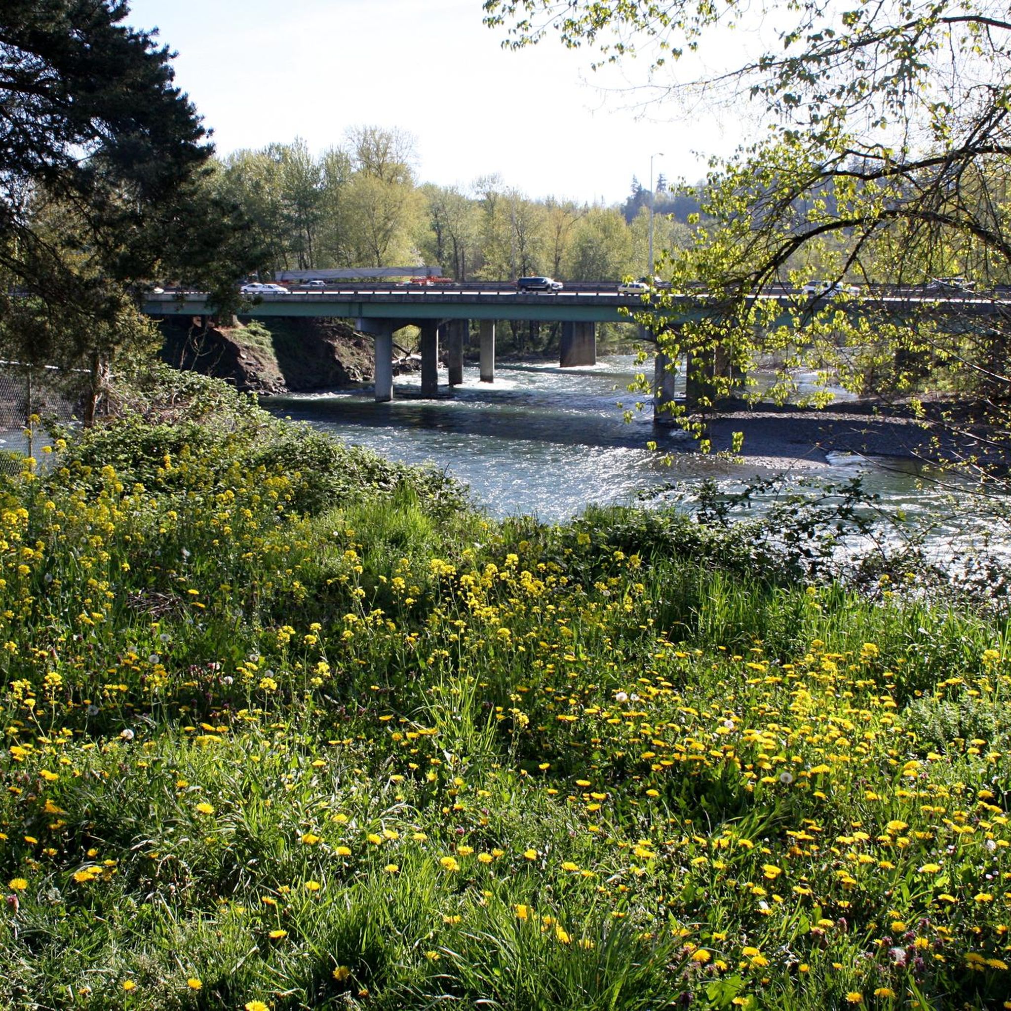
The Clackamas River gets its name from the Clackamas people who have lived in the area for hundreds of generations. Though much of the river's course has been developed 47 of its 83 miles are designated as NWSRS (National Wild and Scenic River System)
0
0

Great diversion spot just off the road that that takes you to some closer views of the river along the Cross Park Trail.
0
0

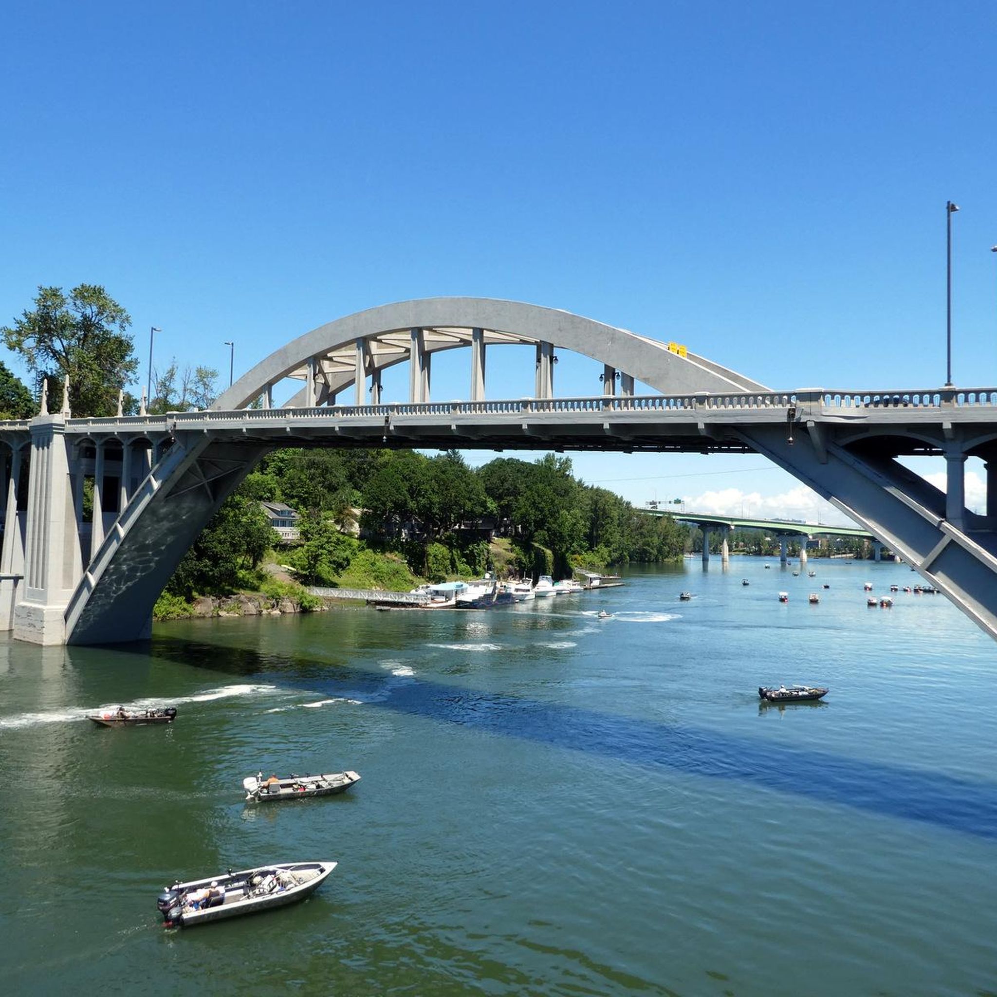
The 82nd Drive Pedestrian Bridge, a crucial link between Gladstone and Oregon City in Oregon, has been entrusted to the vigilant care of the Clackamas Water Environment Services since 1998, ensuring its continued role in uniting these communities.
0
0
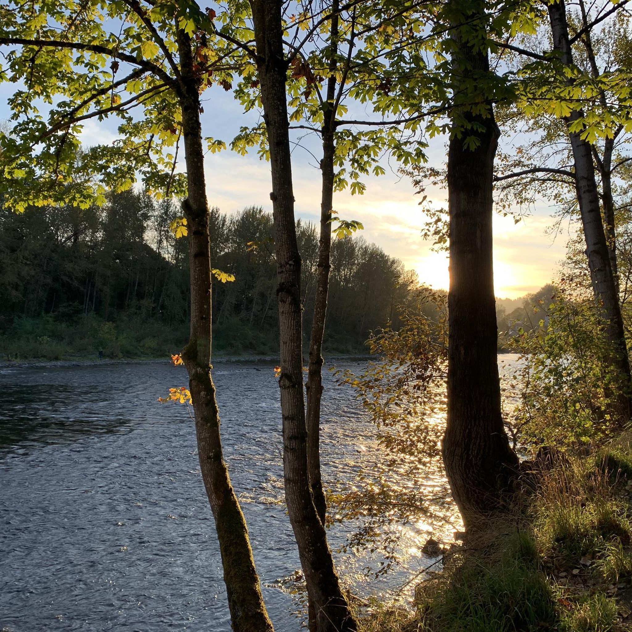
The Clackamas River, spanning about 83 miles, weaves through untamed forests and rugged mountains in its upper reaches, later gracing agricultural and urban landscapes. This river's old-growth woodlands, diverse bird havens, thriving fish populations, and opportunities for recreation, including fishing and exciting whitewater rafting, have earned over half of its length a cherished spot in the National Wild and Scenic Rivers System.
0
0
The 82nd Drive Pedestrian Bridge, a crucial link between Gladstone and Oregon City in Oregon, has been entrusted to the vigilant care of the Clackamas Water Environment Services since 1998, ensuring its continued role in uniting these communities.
0
0

Frequently Asked Questions
How many hiking trails are available in Oregon City?
Oregon City offers a wide variety of hiking experiences with over 25 trails documented on komoot. These routes cater to different preferences, ranging from easy strolls to more moderate hikes through diverse landscapes.
Are there easy or beginner-friendly hiking options in Oregon City?
Yes, Oregon City has numerous easy and beginner-friendly trails. For instance, the Park Loop Trail — Mount Talbert Nature Park is an easy 3.3-mile path, and the Clackamas Community College Loop Trail is another accessible option. Many parks like Newell Creek Canyon Nature Park also feature trails with gentle slopes suitable for all skill levels.
Can I bring my dog on the hiking trails in Oregon City?
Yes, several trails in and around Oregon City are dog-friendly, provided your canine companion is on a leash. The Stone Creek Hiking Trail, a 2.8-mile woodchip path, welcomes leashed dogs. Similarly, the Clackamas River Trail also permits leashed dogs, offering a pleasant walk along the river.
Are there any family-friendly hikes suitable for children?
Many of Oregon City's parks and trails are suitable for families. Newell Creek Canyon Nature Park, for example, offers trails ranging from half a mile to 1 mile, with some short steep sections and rolling slopes, making it an engaging option for families. The McLoughlin Promenade is also an easy 2.5-mile walk with scenic views that children can enjoy.
Which trails offer the best scenic views in Oregon City?
For stunning vistas, the McLoughlin Promenade is highly recommended. This historic walk provides scenic views of the Willamette River and the iconic Willamette Falls from a ridge high above the river. The Stone Creek Hiking Trail also offers views of the beautifully maintained golf course and distant glimpses of Mt. Hood on clear days.
Are there any loop trails for a circular hiking experience?
Yes, Oregon City features several loop trails. The Clackamas River Greenway & Trolley Trail loop — Gladstone is a popular 3.8-mile option. Another great choice is the Riverside loop Trail — Cedar Island Park, which offers a pleasant circular route.
Can I find hikes with waterfalls near Oregon City?
Newell Creek Canyon Nature Park is a great place to find trails with waterfalls. The park's robust trail system includes paths with views of creeks and falls, such as the Tumble Falls trail, providing a refreshing experience amidst lush forests.
What kind of natural landscapes can I expect to see while hiking around Oregon City?
Hiking around Oregon City offers a diverse range of natural landscapes. You can expect to explore lush forests, scenic waterways, and elevated viewpoints. The region is characterized by its steep topography carved into 13 watersheds, featuring majestic bigleaf maples, crystal-clear creeks, and riverfront scenery along the Willamette and Clackamas Rivers.
What do other hikers say about the trails in Oregon City?
The trails in Oregon City are highly regarded by the komoot community, boasting an impressive average rating of 4.9 stars from over 10 reviews. Hikers frequently praise the well-maintained paths, the beauty of the natural surroundings, and the variety of options available for different skill levels.
Are there any notable attractions or points of interest near the hiking trails?
Absolutely. While hiking, you can explore several points of interest. The McLoughlin Promenade offers views of the historic Willamette Falls. You can also find the Clackamas River, Tryon Creek, and the Oswego Iron Furnace. For more information on Newell Creek Canyon Nature Park, you can visit oregonmetro.gov.
What is the best time of year to hike in Oregon City?
Oregon City's mild climate makes it suitable for hiking year-round. However, spring and fall offer particularly pleasant conditions with comfortable temperatures and vibrant foliage. Spring brings blooming wildflowers, while fall showcases stunning autumn colors. Summer is also popular, but trails can be busier, and winter offers a unique, quieter experience, though some paths might be muddy.
Most popular attractions around Oregon City

Get inspired with the komoot mobile app


Explore more
Browse the best Hikes in other regions.
