The best MTB trails around Milwaukie
4.0
(1)
49
riders
12
rides
Mountain biking around Milwaukie offers access to a diverse network of multi-use paths and serves as a gateway to varied terrain in the broader Oregon area. While dedicated single-track mountain bike trails are not extensively found within the city limits, Milwaukie is situated along the Willamette River, providing scenic waterfront parks and connections to extensive cycling infrastructure. The region features a mix of paved and unpaved multi-use trails, with opportunities to explore natural areas and urban parks. Its location allows…
Last updated: July 11, 2026
3.77km
00:22
110m
110m
Moderate mountain bike ride. Great for any fitness level. Advanced riding skills necessary.
17
riders
Moderate mountain bike ride. Good fitness required. Advanced riding skills necessary.

Sign up for free
4.0
(1)
14
riders
Easy mountain bike ride. Great for any fitness level. Suitable for all skill levels.
9
riders
Moderate mountain bike ride. Good fitness required. Suitable for all skill levels.
4
riders
21.1km
01:35
500m
500m
Moderate mountain bike ride. Good fitness required. Suitable for all skill levels.
Get access to more routes and recommendations from other explorers.
Sign up for free
Already have an account?
Our route recommendations are based on thousands of hikes, rides, and runs completed by other people on komoot.
Start today with a free account
Your next adventure awaits.
Login or Signup

Tips from the Community

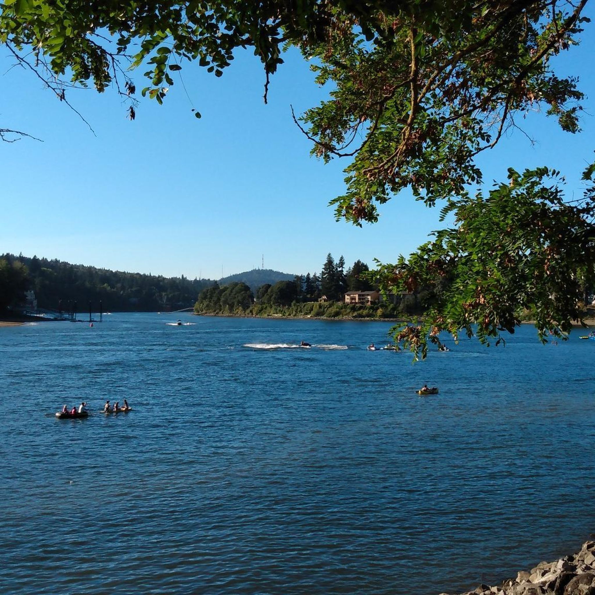
Willamette Park is a 26-acre green space along the river in south Portland, just off Southwest Macadam Avenue. It offers a mix of recreation and river access, with a boat dock and ramp, paved and unpaved paths, picnic areas, and sports facilities including a soccer field and tennis courts. Families and dog owners frequent the playground and off-leash area, while cyclists often pass through on the nearby Willamette Greenway Trail.
0
0

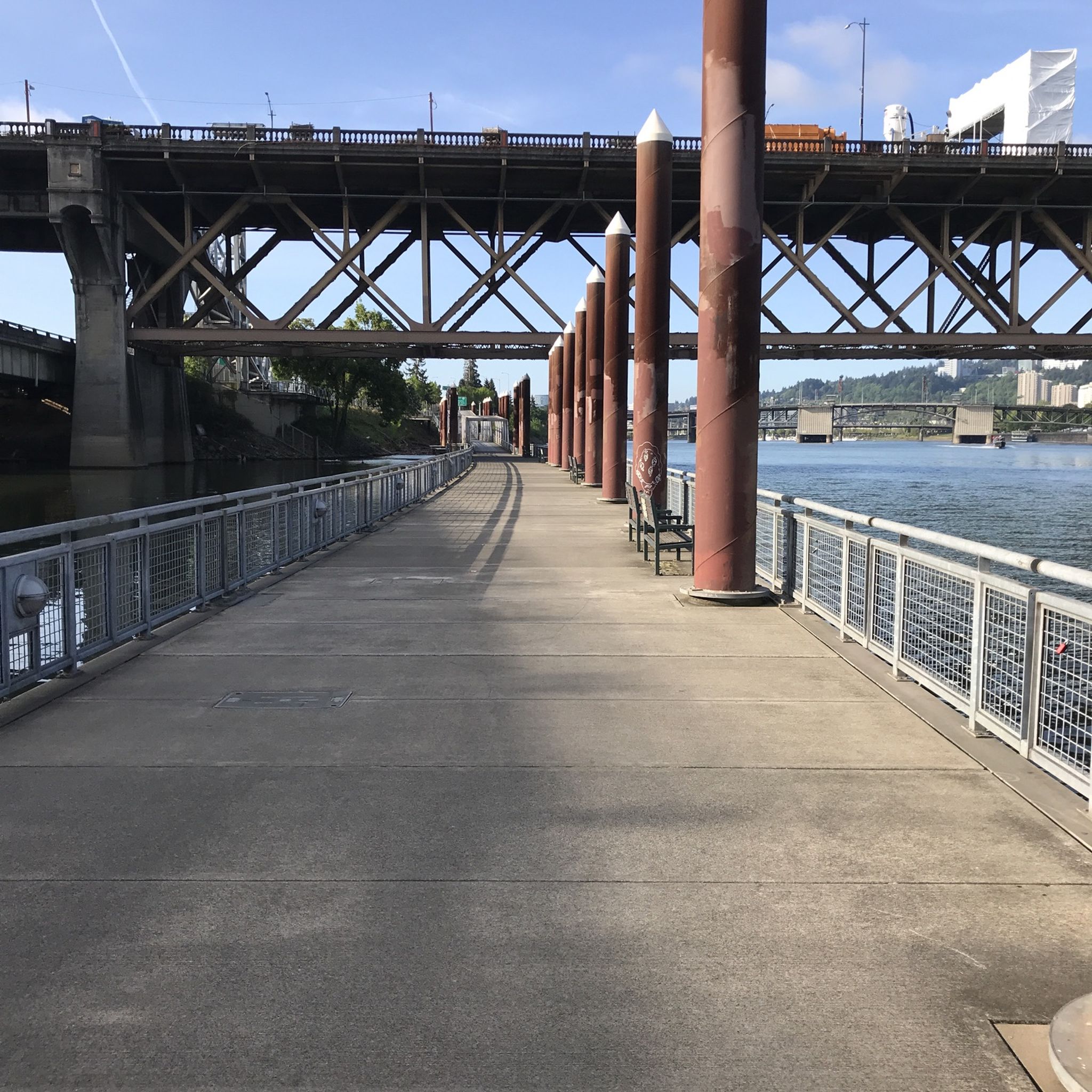
The Broadway Bridge was built in 1913. It was originally black, but was repainted red in 1963.
1
0

This trailhead marks a popular route for hikers in the area. It is .3 miles from the Wild Cherry Trail, .9 miles to the Dogwood Trail and 1.4 miles to the Alder Trail. If you head west, all of these connector trails reach the Wildwood Trail, which offers ample opportunities to create loop variations. It is important to note that parking is limited, especially on the weekends.
0
0
Home to 2,000+ species of trees and shrubs, this park features several trails through fantastic tree groves and beautiful gardens. It's an ideal place for a short or extended run, especially in the fall when the leaves are changing.
0
0

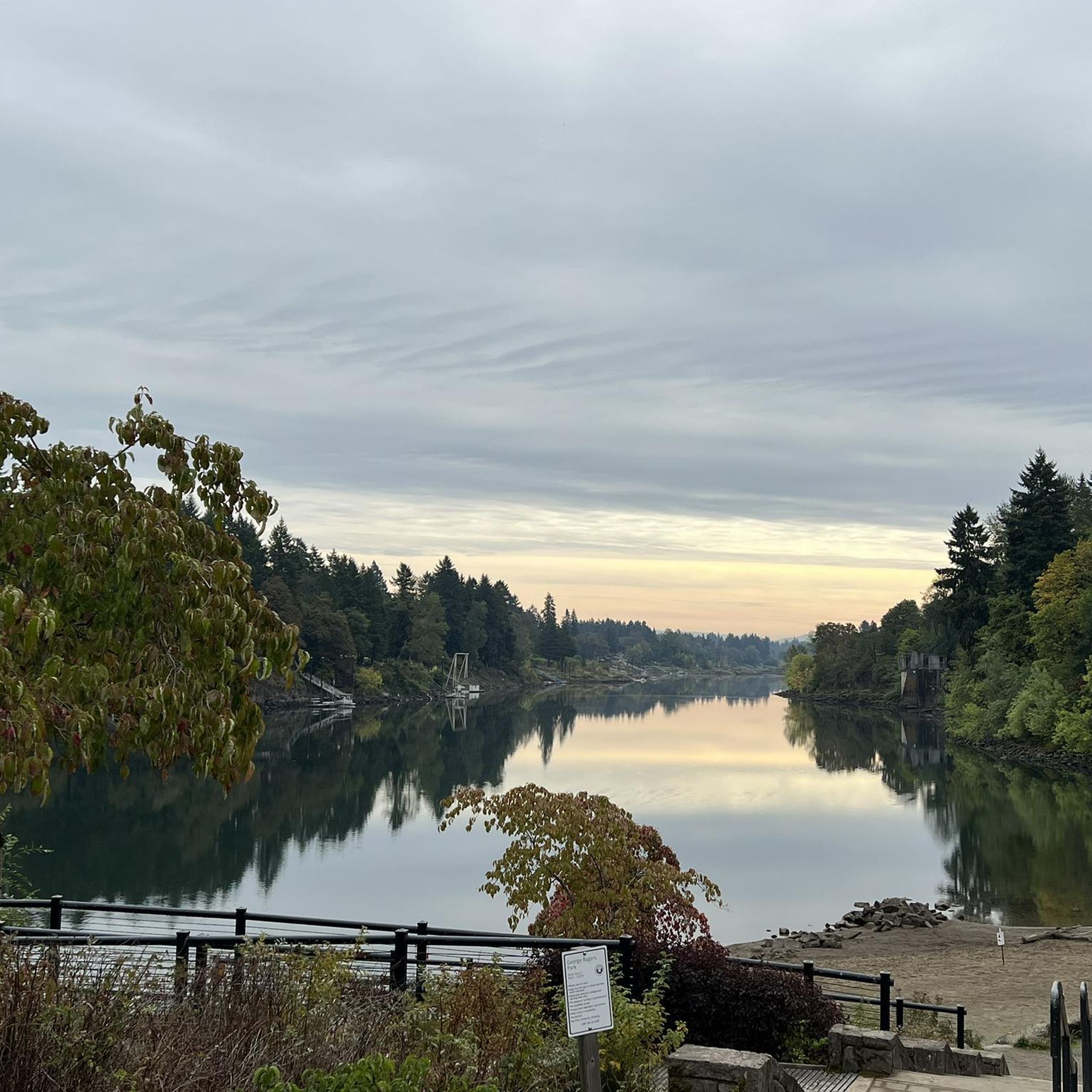
The Willamette River stretches over 255 miles from Cottage Grove in the southern Willamette Valley to Portland, where it meets the Columbia River. The Multnomah Channel branches off near Sauvie Island before joining the Columbia. The Willamette River Greenway offers a few open green spaces along the riverbanks, some with boat launches and basic amenities. Bikers also pass through preserved areas for native wildlife and with scenic views. This trail is a popular destination for biking, walking, and running along its shared paths.
0
0
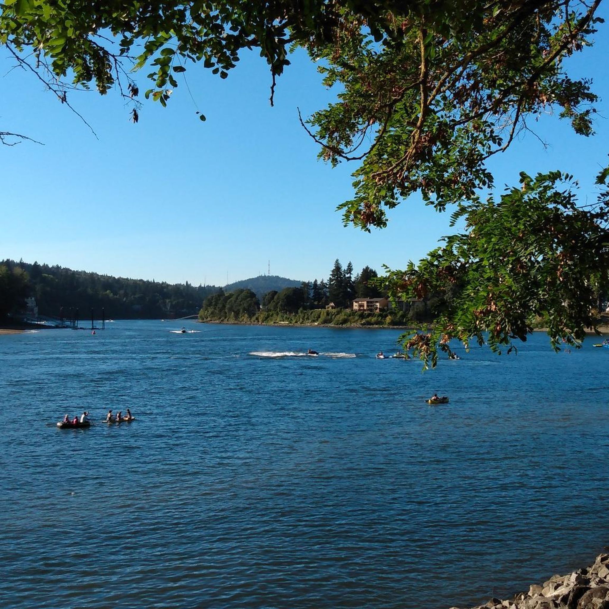
The Willamette River Greenway is a 5.3-mile out-and-back trail perfect for birding, running, biking, and walking. The Willamette River stretches over 255 miles from Cottage Grove to Portland, where it meets the Columbia River. Along its banks, the Willamette River Greenway provides open spaces, some with boat launches and camping, while others preserve native plants and scenic river views.
0
0

The Eastbank Esplanade was brought about by the 1996 Willamette Valley Flood. After that flood washed out the existing !-5 bike bypass and new path was needed and the Eastbank Esplanade was born.
0
0
Governor Tom McCall Waterfront Park, or just Waterfront Park, is a 36.59-acre park in downtown Portland, Oregon. This lovely park stretches along the Willamette River and features a paved multi-use pathway that attracts joggers, bikers, and walkers. The path offers scenic views of the river and the city skyline, making it a popular spot for recreational activities and commuting. The pathway also connects to other city parks and is part of the larger riverfront greenway. Waterfront Park hosts major events, including the Waterfront Blues Festival and Rose Festival, is a popular U.S. presidential campaign stop, and features attractions like the Salmon Street Springs fountain, and various art instillations, plazas, memorials.
0
0
Frequently Asked Questions
How many mountain bike trails are available around Milwaukie?
There are over a dozen mountain bike routes available around Milwaukie on komoot, catering to various skill levels. These include a mix of easy, moderate, and challenging options, with 4 easy, 7 moderate, and 1 difficult trail.
Are there any easy mountain bike trails suitable for beginners in the Milwaukie area?
Yes, there are several easy routes perfect for beginners. One option is the Heron Pointe Wetland – Butterfly Park loop from Hollywood/Northeast 42nd Avenue, which offers a gentle ride through natural surroundings.
What kind of terrain can I expect on mountain bike trails near Milwaukie?
Mountain biking around Milwaukie features a diverse range of terrain. While dedicated single-track trails are less common directly within the city, you'll find extensive multi-use paths, riverfront trails, and access to broader forested areas. Routes can include paved sections, unpaved paths like the historic Trolley Trail, and more rugged forest roads such as those found on Northwest Leif Erikson Drive.
Are there any family-friendly mountain bike trails around Milwaukie?
Milwaukie's extensive network of multi-use paths, including sections of the Trolley Trail and Springwater Corridor, are generally suitable for families. These trails often feature paved or well-maintained surfaces, making them accessible for riders of varying ages and skill levels. For a shorter, unique experience, the Mount Tabor Red, Blue, and Green Trail Loop offers an urban park ride.
Can I bring my dog on the mountain bike trails near Milwaukie?
Many multi-use trails in the Milwaukie area, including parts of the Trolley Trail and Springwater Corridor, are dog-friendly, provided your dog is on a leash. For more natural settings, nearby areas like Molalla River State Park are known for dog-friendly hiking trails, which may offer unpaved paths suitable for some forms of mountain biking or gravel riding. Always check specific trail regulations before heading out.
What are some scenic mountain bike routes with good views?
For scenic views, consider routes that follow the Willamette River waterfront. The Willamette River view – Sellwood Bridge loop from Northeast 60th Avenue offers picturesque river vistas. Additionally, the unique urban park of Mount Tabor, explored by the Mount Tabor Red, Blue, and Green Trail Loop, provides views from an extinct volcanic cinder cone.
Are there any loop mountain bike trails in the Milwaukie area?
Yes, several routes are designed as loops. The Mount Tabor Red, Blue, and Green Trail Loop is a popular option. For a longer ride, the Northwest Leif Erikson Drive – Eastbank Esplanade loop from Southeast Division Street provides a substantial loop through varied landscapes.
What are some interesting landmarks or natural features to see along the trails?
Milwaukie's trails offer access to several notable features. You can explore the unique geology of Elk Rock Island, accessible from Spring Park when river levels are low. The Mount Tabor Red, Blue, and Green Trail Loop takes you through Mount Tabor, an extinct volcanic cinder cone. Other nearby natural attractions include the Clackamas River and the Hoyt Arboretum.
What do other mountain bikers enjoy most about mountain biking in Milwaukie?
The routes in Milwaukie are highly rated by the komoot community, with an average score of 3.5 stars. Riders often appreciate the diverse network of multi-use paths, the scenic riverfront sections, and the convenient access to broader natural areas for varied experiences.
Is public transport available to access mountain bike trails in Milwaukie?
Milwaukie has a comprehensive cycling infrastructure and is well-connected by public transport, making it feasible to access many multi-use trails without a car. The Trolley Trail and Springwater Corridor, for instance, are integrated into the broader Portland metropolitan area's transport network, allowing for convenient access to various starting points.
Are there any cafes or pubs near the mountain bike trails in Milwaukie?
Milwaukie's urban setting means many trails, particularly the multi-use paths like the Trolley Trail and Springwater Corridor, pass through or near neighborhoods with various amenities. You'll find cafes, pubs, and restaurants in Milwaukie's downtown area and along the routes, perfect for a post-ride refreshment or meal.
What is the best time of year to go mountain biking near Milwaukie?
The Milwaukie area generally offers good mountain biking conditions from spring through fall. The mild climate means many trails are accessible for much of the year, though winter rides can be wet. Spring brings lush greenery, while fall offers vibrant colors. Always check local weather and trail conditions before heading out, especially after heavy rain.
Most popular attractions around Milwaukie

Get inspired with the komoot mobile app


Explore more
Browse the best MTB trails in other regions.
