The best road cycling routes around Redmond
5.0
(3)
297
riders
9
rides
Road cycling routes around Redmond are characterized by an extensive network of paved trails, winding alongside rivers and lakes, and through forested areas. The region features over 59 miles of public trails, including flat river paths and routes with moderate elevation changes. These routes often follow waterways like the Sammamish River and Lake Sammamish, connecting urban areas with natural preserves. The landscape includes lush forests, rolling hills, and access to larger bodies of water, providing varied terrain for cyclists.
Best…
Last updated: September 27, 2026
5.0
(3)
239
riders
76.0km
03:37
640m
640m
Embark on the Twin Bridges Scenic Bikeway, a moderate 47.2-mile (76.0 km) racebike route that promises ever-changing scenery over approximately 3 hours and 36 minutes. You will gain 2097 feet…
15
riders
50.0km
02:03
280m
280m
The Cline Falls Road & Old Bend Redmond Highway loop offers a fantastic road cycling experience, winding through lush forests and rolling hills alongside the Deschutes River. You'll be treated…

19
riders
39.1km
01:38
240m
240m
Easy road ride. Great for any fitness level. Mostly well-paved surfaces and easy to ride.
6
riders
41.8km
01:59
180m
180m
Easy road ride. Great for any fitness level. Mostly well-paved surfaces and easy to ride.
4
riders
Moderate road ride. Good fitness required. Mostly well-paved surfaces and easy to ride.
Get access to more routes and recommendations from other explorers.
Already have an account?
Our route recommendations are based on thousands of hikes, rides, and runs completed by other people on komoot.
Start today with a free account
Your next adventure awaits.
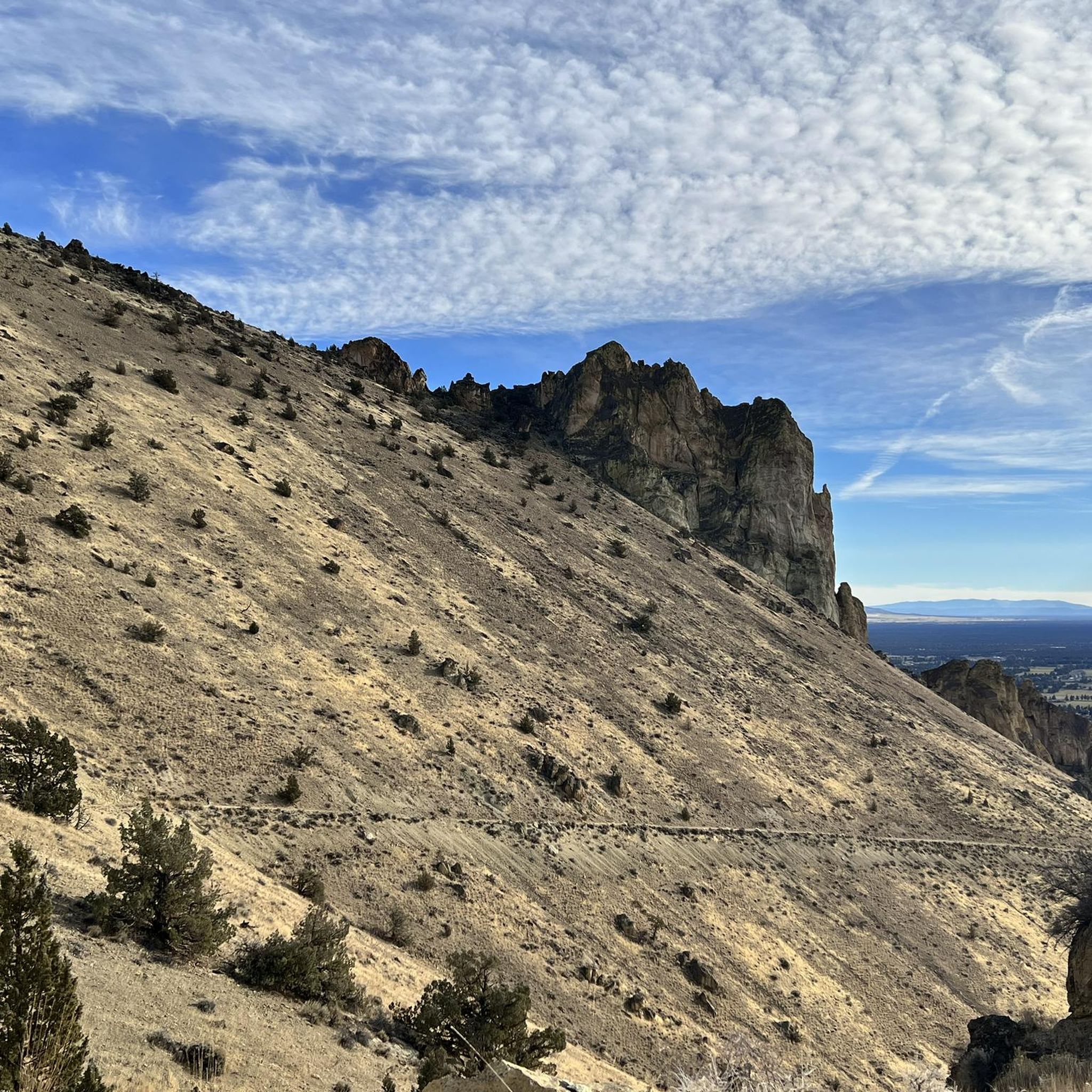
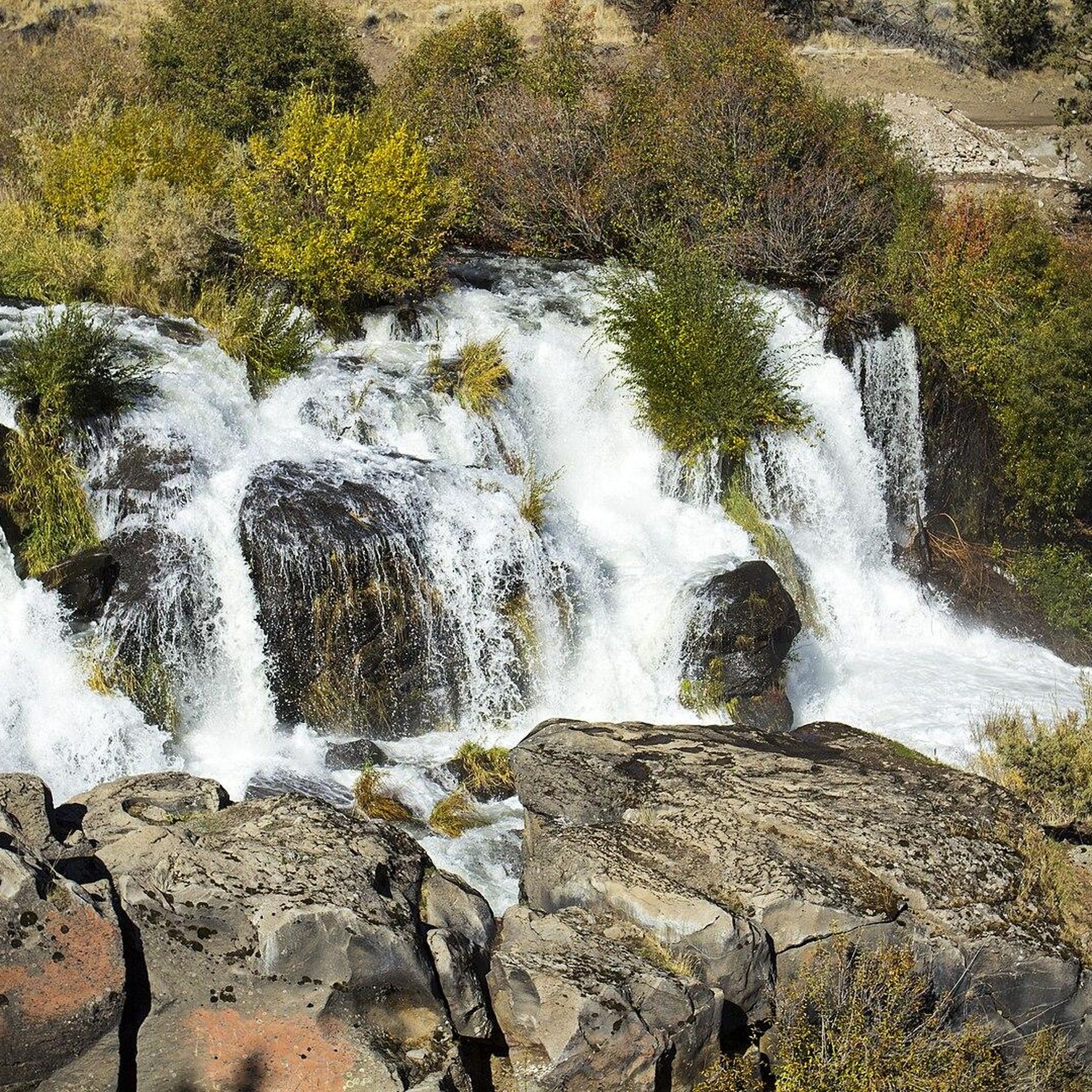
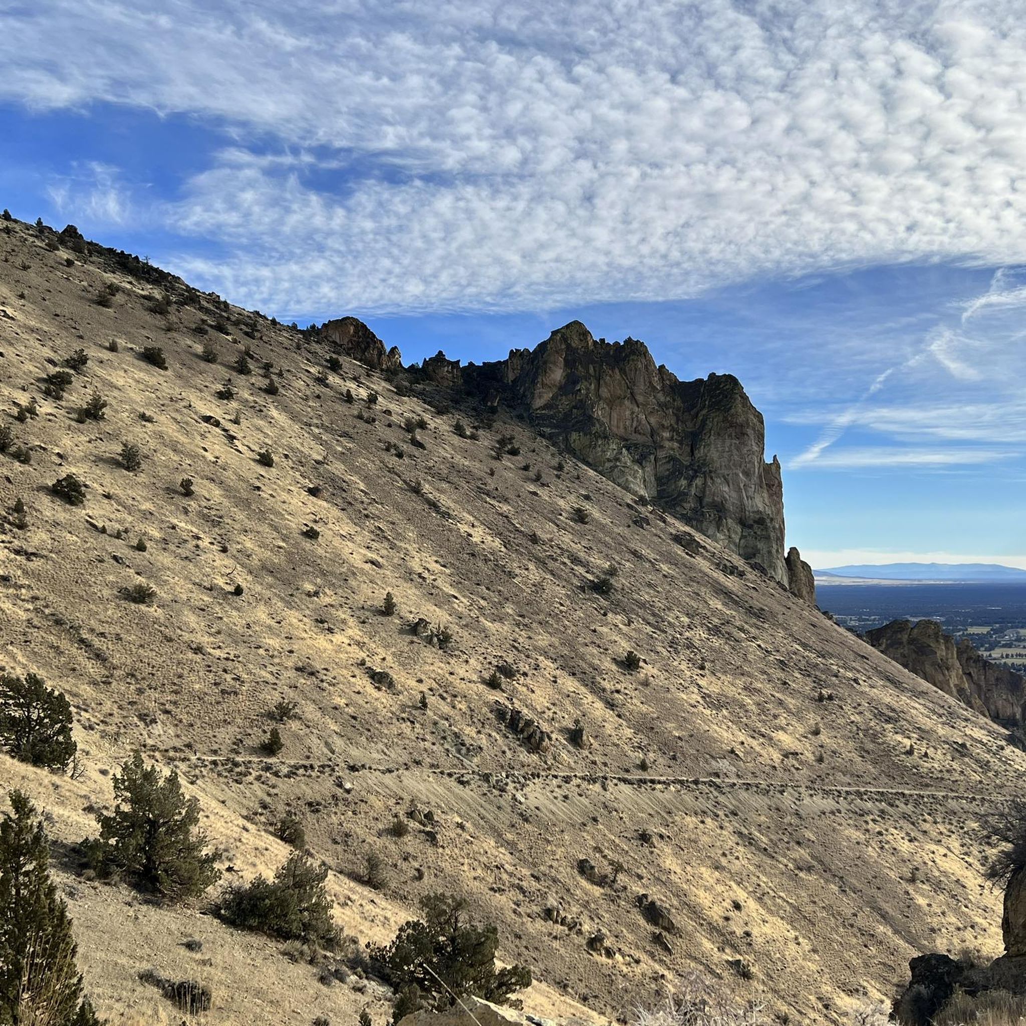
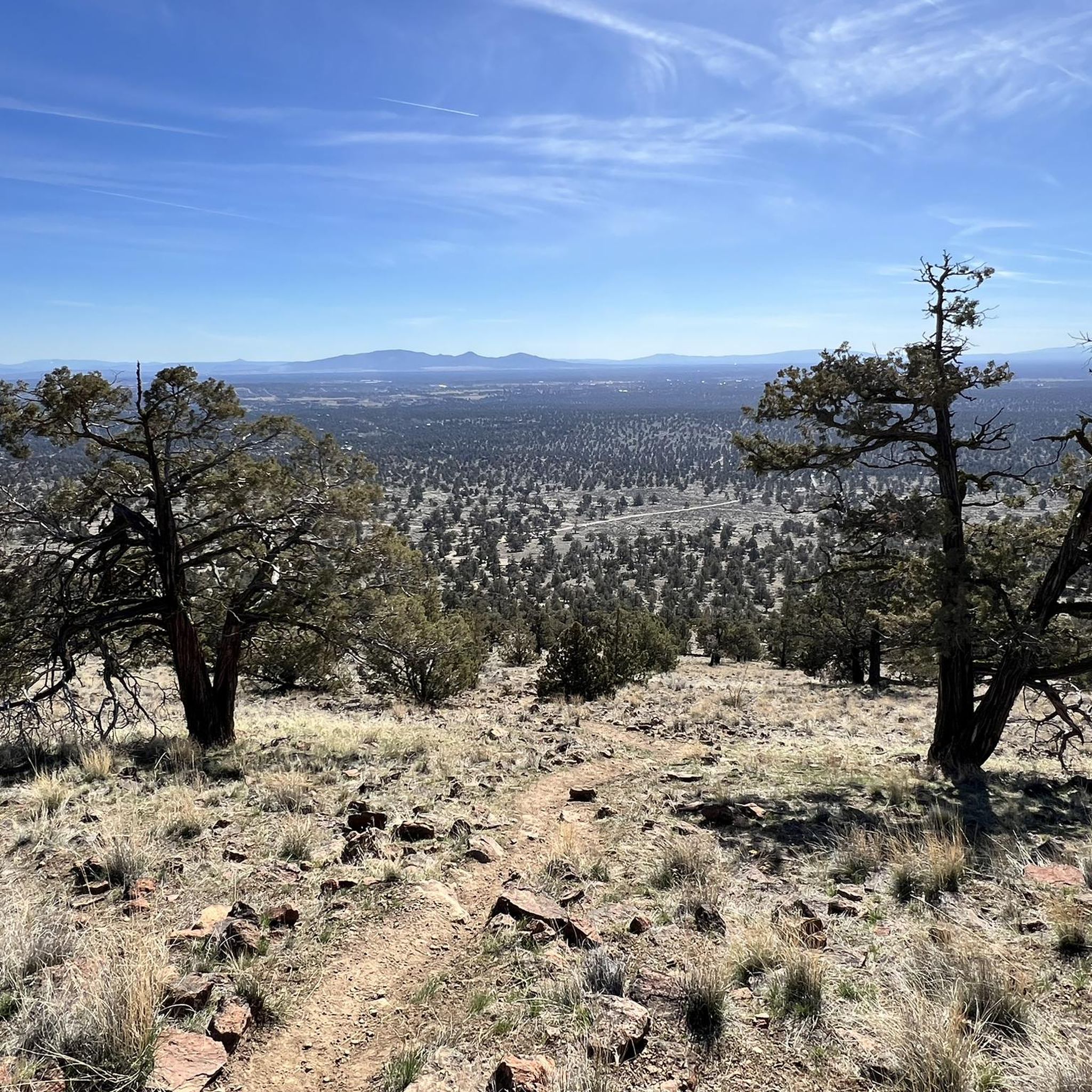
Tips from the Community

The Dry Canyon Trail runs for just under 8 miles through Redmond. Along the way it passes by a number of parks, through neighborhoods, and across or under many streets. It's a great way to get out and explore the area and still have a good chance to spot some local wildlife.
0
0

Very easy hike that goes under the highway and back up north to where the falls actually are, compared to the viewpoint park.
0
0

A popular park with miles of hiking, running and mountain biking trails both on trail and pavement. Tumalo Creek offers a place to cool off on a warm day.
0
0

Although you wouldn't think it of a city park, Dry Canyon offers a great opportunity to enjoy the wildlife of the Central Oregon High Desert. With a variety of wild flower and fauna, you are sure to enjoy a peaceful outing.
0
0
A beautiful backdrop for when you tee off at The Resort Course at Eagle Crest, a majestic high desert course with a challenging layout. The Lake is a mainstay here that attracts the eyes of all that pass by.
0
0

Tumalo State Park rests over four miles along the beautiful Deschutes River. It is open year-round and an ideal base camp for any outdoor activity. The day-use area has plenty of picnic tables shaded by giant ponderosa pines, alders and juniper trees, making it a great spot to stop for lunch. On hot summer days, it is a popular spot for visitors to enjoy floating in the cool water.
0
0
Twin Bridges Scenic Bikeway is a popular ride in Central Oregon for good reason. The bikeway gets its name from the two crossings it makes over the Deschutes River. You'll find yourself cycling through forests and high desert terrain all while marveling and the stunning views of the Cascade Mountains.
0
0
Juniper Trailhead parking is free and open year-round. It is a small lot for access to the Maston Trail use area, a popular recreation area for hikers, runners and cyclists.
0
0
Frequently Asked Questions
What kind of terrain can I expect on road cycling routes around Redmond?
Redmond's road cycling routes feature an extensive network of paved trails, often winding alongside the Sammamish River and Lake Sammamish. You'll find a mix of flat river paths and routes with moderate elevation changes, passing through lush forests and rolling hills. The city is known for its commitment to cycling infrastructure, offering both on-street bike lanes and off-street trails.
Are there road cycling routes suitable for beginners in Redmond?
Yes, Redmond offers several easy road cycling routes. For instance, the Eagle Crest Lake – Juniper Trailhead loop from Cline Falls State Park is an easy 24.3-mile path, and the Forked Horn Butte – Dry Canyon Wildlife loop from Saint Charles Medical Center Redmond is another easy option at 26.1 miles. These routes are generally flat and well-maintained, making them suitable for less experienced cyclists.
What are some popular longer road cycling routes in the Redmond area?
For those seeking longer rides, the Twin Bridges Scenic Bikeway is a popular moderate route spanning 47.2 miles. Another excellent option is the Dry Canyon Wildlife – Twin Bridges resting area & bike aid station loop from Saint Charles Medical Center Redmond, which covers 36.7 miles and offers varied landscapes.
What attractions or landmarks can I see along road cycling routes in Redmond?
Redmond's routes offer access to various natural features and points of interest. You might encounter the scenic Crooked River, or pass by unique geological formations like Monkey Face Rock. Many trails also offer views of the Sammamish River and Lake Sammamish, providing opportunities for wildlife spotting.
Are there any loop road cycling routes available in Redmond?
Yes, many road cycling routes in Redmond are designed as loops. Examples include the Cline Falls Road & Old Bend Redmond Highway loop, which is a moderate 31.1-mile path, and the Eagle Crest Lake – Juniper Trailhead loop from Cline Falls State Park, an easy 24.3-mile option.
What makes Redmond a good destination for road cycling?
Redmond is often called the 'Bicycle Capital of the Northwest' due to its extensive network of over 59 miles of public trails, dedicated cycling infrastructure, and scenic landscapes. The city is recognized as a Bicycle Friendly Community, offering diverse routes from flat river paths to routes with moderate elevation, catering to various skill levels.
What do other road cyclists enjoy most about road cycling in Redmond?
The road cycling experience in Redmond is highly rated by the komoot community, with an average score of 5.0 stars. Cyclists often praise the well-maintained paved trails, the scenic views along waterways like the Sammamish River and Lake Sammamish, and the variety of routes that connect urban areas with natural preserves.
Are there family-friendly road cycling options in Redmond?
Yes, Redmond's extensive network of mostly flat and paved trails, such as sections of the Sammamish River Trail and East Lake Sammamish Trail, are ideal for family cycling. These trails are well-maintained and offer scenic, safe environments away from heavy traffic, suitable for all ages and skill levels.
Where can I find information about parks and trails in Redmond?
For comprehensive information on Redmond's parks and trails, including details on facilities and access, you can visit the official city website. Specifically, the Parks & Trails section provides valuable resources: redmond.gov/186/Parks-Trails.
Are there opportunities for mountain biking or other outdoor activities near Redmond?
While this guide focuses on road cycling, Redmond and its surroundings offer diverse outdoor activities. The Redmond Watershed Preserve has over 7 miles of trails suitable for mountain biking. Additionally, Marymoor Park provides trails for walking and jogging, and the nearby Tiger Mountain State Forest offers hiking and mountain biking trails with breathtaking views.
What is the best time of year for road cycling in Redmond?
Redmond's trails are generally accessible year-round due to their paved and well-maintained nature. However, the spring, summer, and early fall months typically offer the most pleasant weather for road cycling, with milder temperatures and less rain, allowing for comfortable rides and optimal scenic enjoyment.
How many road cycling routes are available in Redmond?
There are nearly a dozen road cycling routes available around Redmond, offering a range of distances and difficulty levels. These include easy loops perfect for a leisurely ride and moderate challenges for more experienced cyclists.
Most popular routes around Redmond
Most popular attractions around Redmond

Get inspired with the komoot mobile app


Explore more
Browse the best Road cycling routes in other regions.
