The best walks and hikes around Engerwitzdorf
4.5
(4466)
38,932
hikers
112
hikes
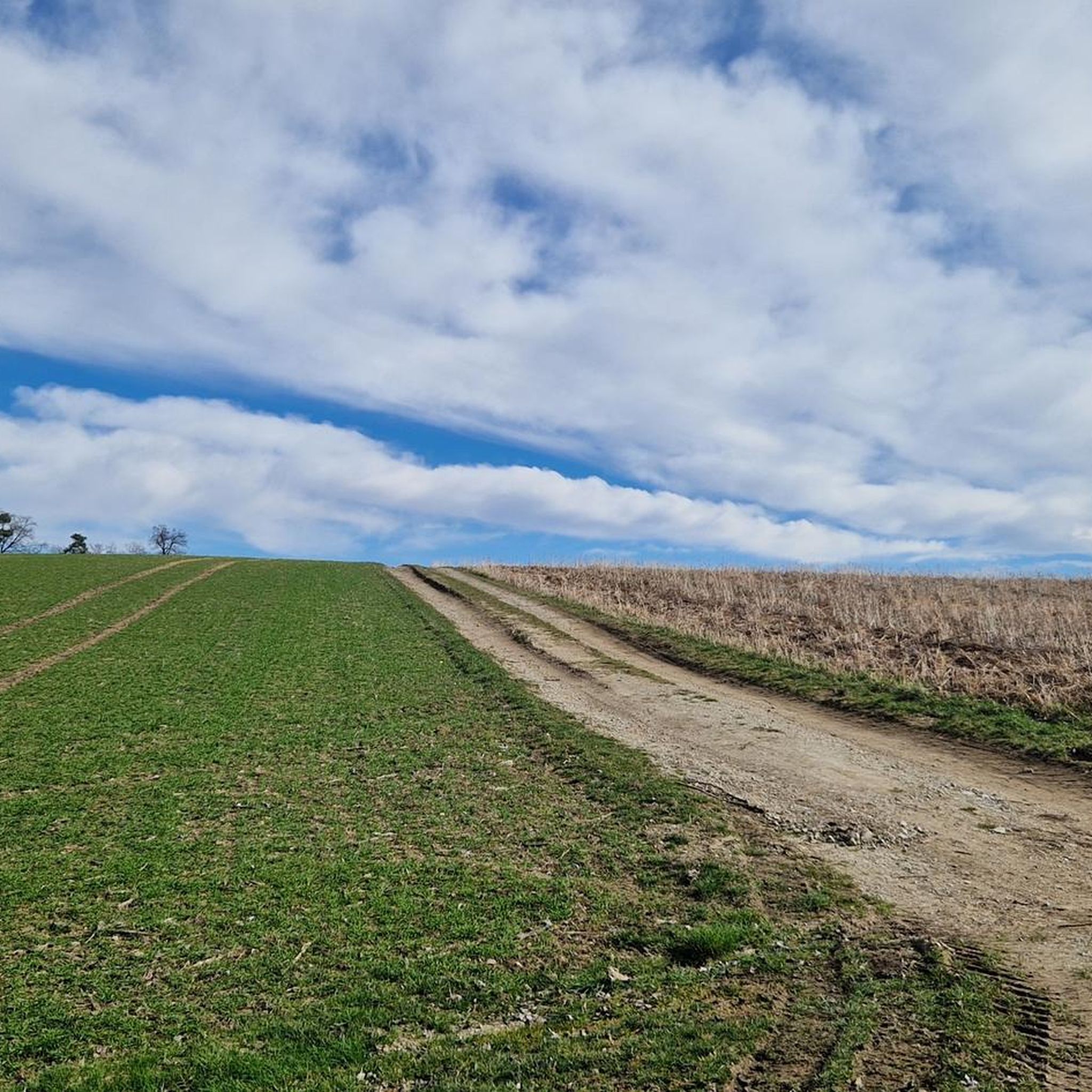
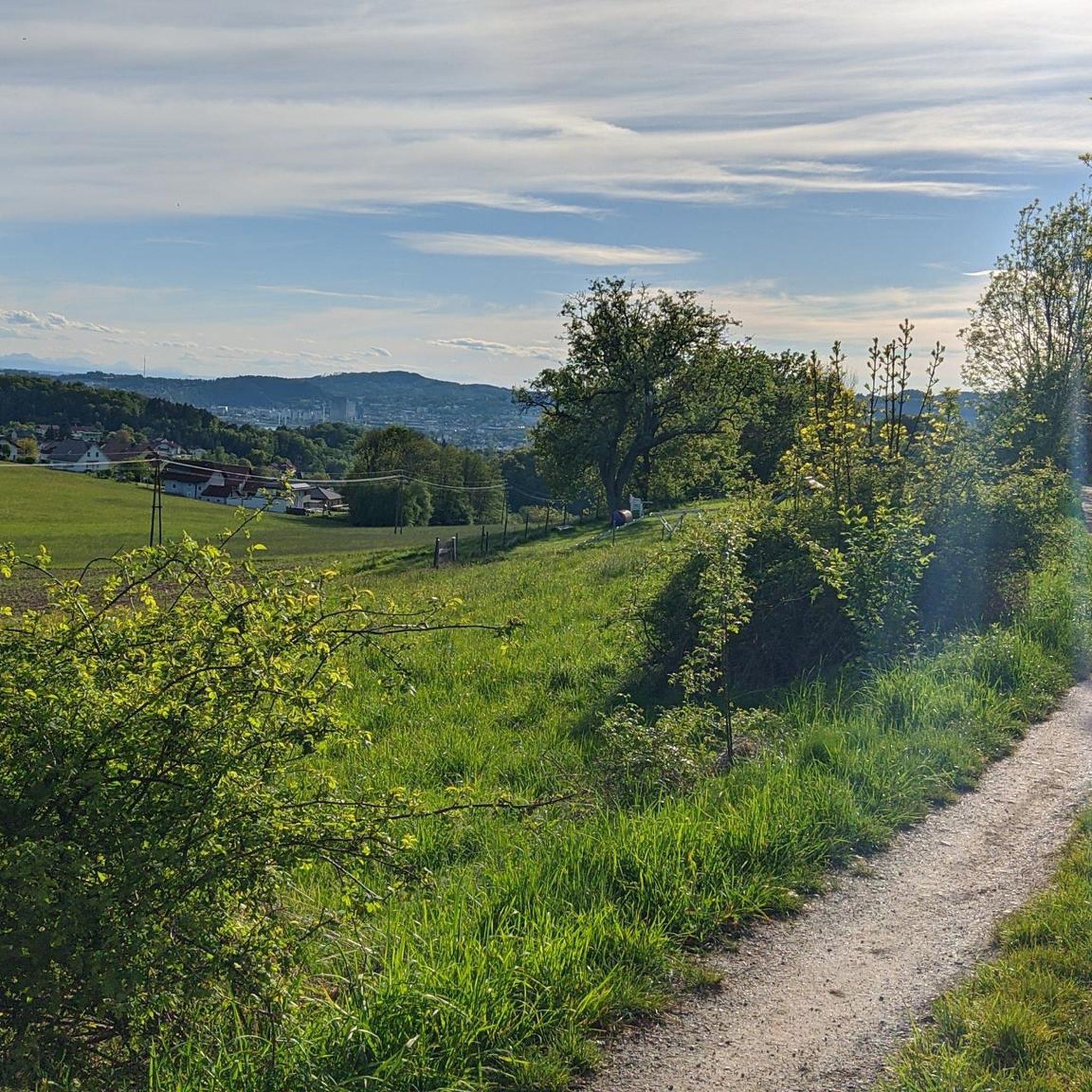
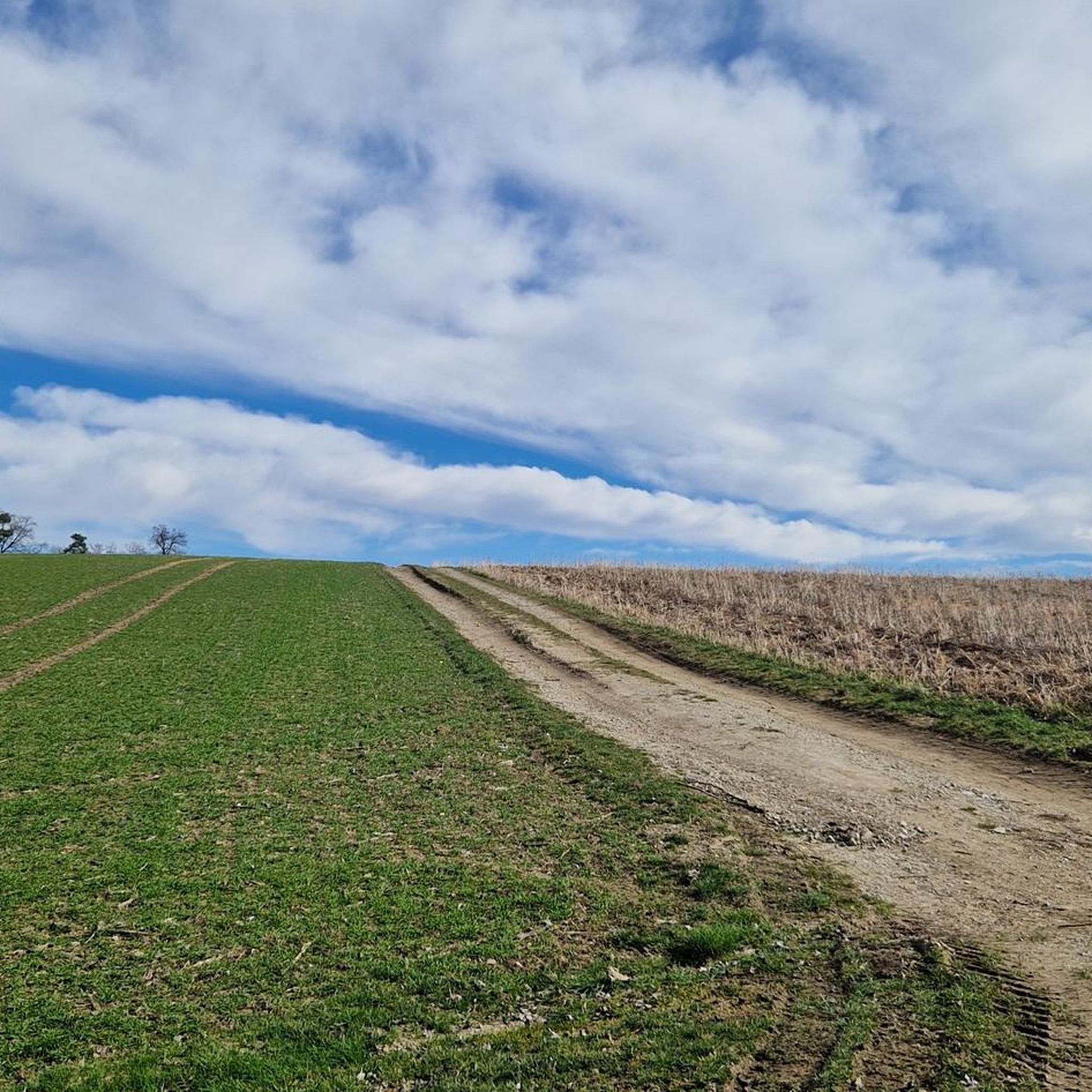
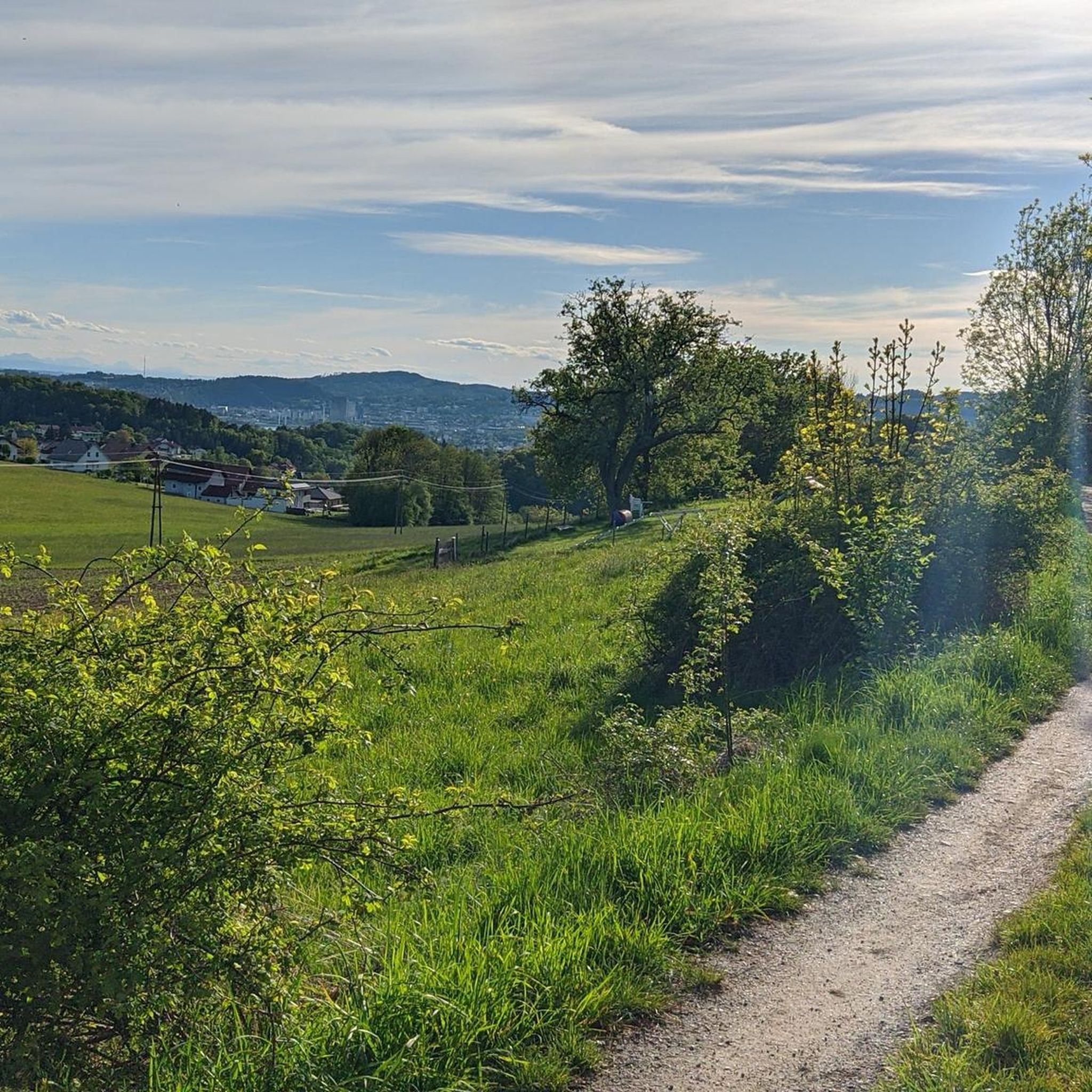
Hiking around Engerwitzdorf features a landscape characterized by rolling hills, dense woodlands, and river valleys within the Mühlviertel region. The area offers a variety of paths that traverse agricultural land and forested sections, providing views of the surrounding countryside. Elevation changes are generally moderate, making many routes accessible for day hikes.
Best hiking trails around Engerwitzdorf
- The most popular hiking route is Gusental Trail – Flehlucka Cave (Erdstall) loop from Gallneukirchen, a 6.5 miles (10.5 km) trail that takes…
Last updated: July 2, 2026
4.2
(13)
53
hikers
10.00km
02:42
140m
140m
Moderate hike. Good fitness required. Easily-accessible paths. Suitable for all skill levels.
4.9
(12)
37
hikers
Moderate hike. Good fitness required. Easily-accessible paths. Suitable for all skill levels.

Sign up for free
3.0
(1)
24
hikers
12.3km
03:29
270m
270m
Moderate hike. Good fitness required. Easily-accessible paths. Suitable for all skill levels.
4.0
(2)
30
hikers
Easy hike. Great for any fitness level. Easily-accessible paths. Suitable for all skill levels.
4.3
(6)
22
hikers
8.39km
02:30
260m
260m
Moderate hike. Good fitness required. Easily-accessible paths. Suitable for all skill levels.
Get access to more routes and recommendations from other explorers.
Sign up for free
Already have an account?
Our route recommendations are based on thousands of hikes, rides, and runs completed by other people on komoot.
Start today with a free account
Your next adventure awaits.
Login or Signup

Tips from the Community

A summit with no view. The summit cross had fallen over during our visit.
0
0

A gem on a very beautiful cycling route. A brief pause has a positive effect on the soul!
0
0

When the weather is nice, you have a great view of Linz, Steyregg and even the Alps.
0
1

A beautiful place for breakfast, a snack, dinner, or simply to enjoy. A stunning view of half of Upper Austria...
0
1

The sun lounger at the rest area is already well attended 😎
0
0
Unfortunately, you can only visit the monastery from the outside.
1
0
Easy to walk meadow path.
0
0
Comfortable hike without much elevation gain.
0
0
Frequently Asked Questions
How many hiking trails are available around Engerwitzdorf?
There are over 110 hiking routes in the Engerwitzdorf area, offering a wide range of options for different preferences and fitness levels. These include 58 easy, 52 moderate, and 2 difficult trails.
Are there any easy, family-friendly walks in Engerwitzdorf?
Yes, Engerwitzdorf offers numerous easy trails suitable for families. A good option is the Katsdorf Church and Fountain – View of Katsdorf loop, which is 4.3 miles (6.8 km) long and features gentle terrain, perfect for a leisurely outing.
What kind of views can I expect on hikes around Engerwitzdorf?
The region is characterized by rolling hills, dense woodlands, and river valleys, providing scenic views of the surrounding Mühlviertel countryside. Some trails offer expansive vistas, such as the View of Linz – View of Mühlviertel loop, which provides panoramic outlooks.
Are there any circular hiking routes in the area?
Many of the trails around Engerwitzdorf are designed as circular routes, allowing you to start and end at the same point. An example is the Gusental Trail – Flehlucka Cave (Erdstall) loop, which takes you through the Gusental valley and past a natural cave feature.
What historical or natural landmarks can I see while hiking near Engerwitzdorf?
The area features several interesting landmarks. You can explore natural rock formations like the Weltstein, or visit historical sites such as the Former Pulgarn Monastery along the Former Pulgarn Monastery – Stoanane Stubm loop. Other points of interest include the Pfenningberg Summit Cross.
What do other hikers enjoy most about the trails in Engerwitzdorf?
The trails in Engerwitzdorf are highly rated by the komoot community, with an average score of 4.0 stars from over 80 reviews. Hikers often praise the varied terrain, well-maintained paths, and the peaceful atmosphere of the woodlands and open fields.
Are there any challenging hiking trails for experienced hikers?
While most routes are easy to moderate, there are a couple of more challenging trails available for those seeking a greater workout. These routes typically feature steeper ascents and longer distances, providing a good test of endurance within the region's rolling landscape.
Can I find places to eat or rest along the hiking trails?
Yes, there are several huts and inns in the vicinity where you can stop for refreshments or a meal. Options include the Zur Gis Inn, Pelmbergstüberl, and Roadlhof Inn, offering local cuisine and a chance to rest.
Is public transport available to access hiking trails in Engerwitzdorf?
Engerwitzdorf is part of the regional public transport network. While some trailheads might require a short walk from a bus stop, many routes are accessible by public transport, especially those starting from larger villages like Gallneukirchen. It's advisable to check local bus schedules for specific routes.
Are there any trails that pass by unique natural features?
Yes, some trails highlight the region's natural beauty. For instance, the Gusental Trail – Flehlucka Cave (Erdstall) loop includes a visit to the Flehlucka Cave, a unique natural formation.
What is the best time of year to go hiking in Engerwitzdorf?
The hiking season in Engerwitzdorf generally runs from spring through autumn. Spring offers blooming landscapes, while summer provides lush greenery. Autumn is particularly beautiful with vibrant fall foliage. Winter hiking is also possible on cleared paths, though conditions can vary.
Are there any less crowded hiking options for a peaceful experience?
Given the abundance of trails, it's possible to find quieter routes, especially on weekdays or by exploring some of the less-trafficked paths away from the most popular starting points. The region's extensive network allows for a peaceful hiking experience.
Are dogs allowed on the hiking trails in Engerwitzdorf?
Generally, dogs are welcome on hiking trails in Engerwitzdorf, provided they are kept on a leash, especially in agricultural areas or near livestock. Always remember to clean up after your pet to maintain the natural environment for everyone.
Most popular routes around Engerwitzdorf
Most popular attractions around Engerwitzdorf

Get inspired with the komoot mobile app


Explore more
Browse the best Hikes in other regions.
