The best road cycling routes around Newburgh Heights
4.5
(21)
1,042
riders
50
rides
Road cycling around Newburgh Heights, Ohio, benefits from its strategic location and connections to the Cleveland Metroparks system. The area features dedicated cycling infrastructure, including the Harvard Avenue Cycletrack, which provides a separated, two-way path for cyclists. This infrastructure connects to broader networks like the Ohio & Erie Canal Towpath Trail, offering extensive paved routes through varied landscapes. The region encompasses green spaces such as Washington Reservation, a 59-acre Metropark with wetlands and all-purpose trails.
Best road cycling routes around…
Last updated: June 29, 2026
2
riders
67.4km
04:15
400m
400m
Cycle the Cuyahoga County High Point loop via Ohio & Erie Canal Towpath Trail, a 41.9-mile moderate road cycling route.
5.0
(1)
20
riders
21.4km
00:56
120m
120m
Moderate road ride. Great for any fitness level. Some segments of this route may be unpaved and difficult to ride.

Sign up for free
7
riders
13.8km
00:42
130m
130m
Easy road ride. Great for any fitness level. Mostly well-paved surfaces and easy to ride.
22
riders
Easy road ride. Great for any fitness level. Mostly well-paved surfaces and easy to ride.
Get access to more routes and recommendations from other explorers.
Sign up for free
Already have an account?
Our route recommendations are based on thousands of hikes, rides, and runs completed by other people on komoot.
Start today with a free account
Your next adventure awaits.
Login or Signup
Popular around Newburgh Heights

Tips from the Community

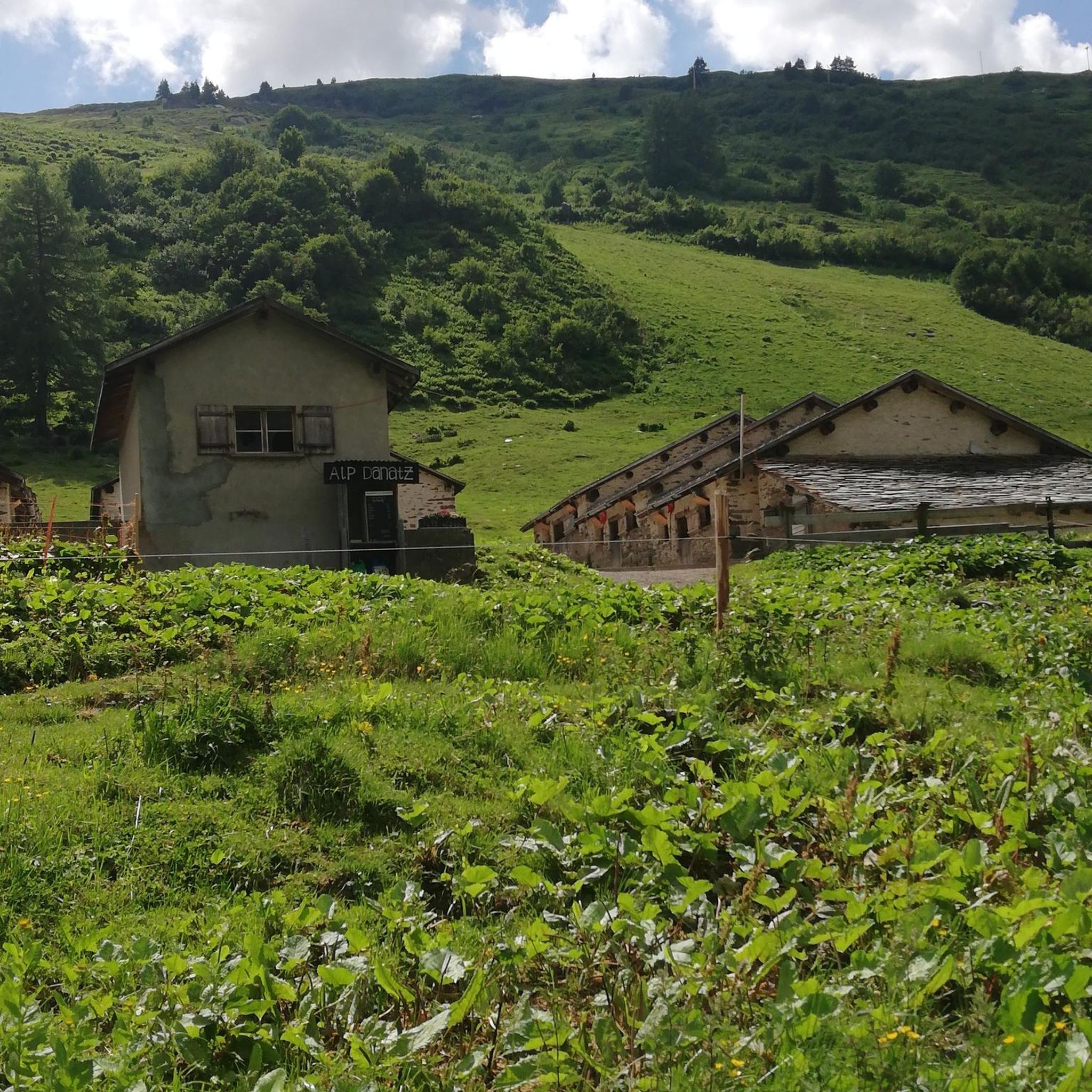
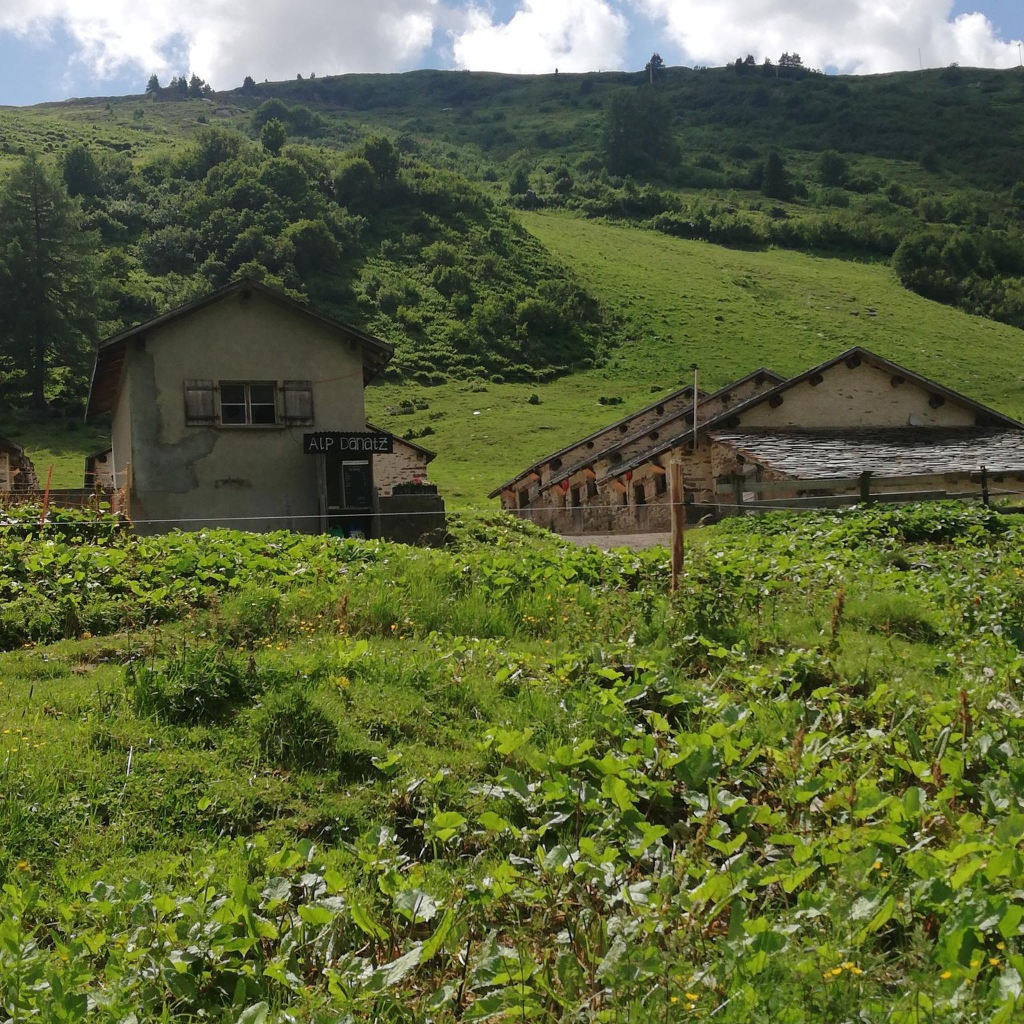
Great Really a great place for a quick bite to eat. Free parking in the back for 1.5 hours.
0
0

The Cleveland Lakefront Bikeway spans 15.1 miles along Lake Erie's shoreline, connecting Euclid and Lakewood. This route, marked with signage, includes some on-road sections and links various cultural sites, parks, and neighborhoods. This part of the bikeway offers beautiful views of Edgewater Beach. The beach offers activities like beach volleyball, cabana rentals, and kayaking, with panoramic views of downtown Cleveland. The beach, accessible from both upper and lower sections of Edgewater Park, features a dog-friendly area and 1,000 feet of swimming area.
0
0
The Ohio and Erie Canal Reservation provides a picturesque overlook of the Cuyahoga River, blending industrial scenery with natural beauty. The mostly paved Towpath Trail allows for hiking, biking, and wildlife observation. Additionally, visitors can fish, explore a nature center, and delve into a National Heritage corridor. This reservation has been reclaimed to support vibrant ecosystems, including wetlands, forests, the canal, and the Cuyahoga River, despite its industrial backdrop.
0
0
The Ohio & Erie Canal Towpath Trail, spanning over 90 miles as of 2022, is set to reach 101 miles upon completion. Stretching from Canal Basin Park in Cleveland to Canal Lands Park in New Philadelphia, Ohio, this trail traces the historic path where mules once pulled canal boats between 1827 and 1913. Today, the trail aligns with the historic towpath as closely as possible, guided by old maps and remaining traces. Visitor centers along the route offer insights into the cultural, historic, natural, and recreational significance of the trail. This section of the trail is compacted dirt. Although the ride is comfortable, use caution when wet.
0
0
The Cleveland Lakefront Bikeway spans 15.1 miles along Lake Erie's shoreline, connecting Euclid and Lakewood. This route, marked with signage, includes some on-road sections and links various cultural sites, parks, and neighborhoods. This part of the bikeway offers beautiful views of Edgewater Beach. The beach offers activities like beach volleyball, cabana rentals, and kayaking, with panoramic views of downtown Cleveland. The beach, accessible from both upper and lower sections of Edgewater Park, features a dog-friendly area and 1,000 feet of swimming area.
0
0

This section of the Ohio and Erie Canal Towpath Trail leads from the town of Brecksville to the Jaite Mill Historic District. It is part of the Buckeye Trail, which is a popular hiking trail in the area as well and follows the Cuyahoga River.
0
0

Great summer location to go swimming in Lake Erie and enjoy the sunshine with the family. The beach has restrooms and changing rooms. Dogs are allowed on certain sections of the coast.
0
0

At 1,287 feet in elevation this is the hight point of Cuyahoga County. There is now a large sign marking the spot along Broadview Road.
0
0
Frequently Asked Questions
How many road cycling routes are available around Newburgh Heights?
There are over 45 road cycling routes available around Newburgh Heights, offering a wide range of options for different preferences and skill levels. These routes leverage the area's dedicated cycling infrastructure and connections to the extensive Cleveland Metroparks system.
Are there road cycling routes suitable for beginners or families?
Yes, Newburgh Heights and its surrounding areas offer several easy road cycling routes perfect for beginners or families. For instance, the Steelyard Heritage Center – Ohio & Erie Canal Reservation loop is an easy 21.4-mile path that connects urban areas with natural landscapes. The Harvard Avenue Cycletrack also provides a safe, separated path within the village.
What kind of terrain can I expect on road cycling routes near Newburgh Heights?
Road cycling routes near Newburgh Heights feature diverse terrain. You'll find dedicated cycletracks like the Harvard Avenue Cycletrack, extensive paved all-purpose trails within the Cleveland Metroparks, and sections of the Ohio & Erie Canal Towpath Trail. These paths often traverse woodlands, wetlands, and offer scenic views along the Cuyahoga River, with generally gentle to moderate elevation changes.
Are there any challenging road cycling routes for experienced cyclists?
Yes, for experienced cyclists seeking a challenge, routes like the Cuyahoga County High Point loop via Ohio & Erie Canal Towpath Trail offer a longer, more demanding ride. This moderate 41.9-mile route includes significant distance and elevation, providing a rewarding experience through varied landscapes.
What are some scenic viewpoints or landmarks along the road cycling routes?
Many routes offer scenic views and pass by notable landmarks. You can cycle past the Free Stamp Sculpture, explore the natural beauty of the Ohio & Erie Canal Reservation, or enjoy views of Lake Erie from areas like Edgewater Beach. The extensive Cleveland Metroparks system, often called the "Emerald Necklace," provides numerous picturesque settings.
Where can I park my car when accessing road cycling trails?
Parking is generally available at various access points for the Cleveland Metroparks and the Ohio & Erie Canal Towpath Trail. Specific parking information for individual trailheads can often be found on the Metroparks website. Within Newburgh Heights, local access points to the Harvard Avenue Cycletrack are integrated into the road infrastructure.
Can I access the road cycling routes using public transport?
Yes, some sections of the Cleveland Metroparks bike trails, including parts of the Ohio & Erie Canal Towpath Trail, are accessible via public transport. It's advisable to check the Greater Cleveland Regional Transit Authority (RTA) schedules and routes for specific connections to trailheads or areas like the Eco-Village, which serves as a starting point for routes such as the Free Stamp Sculpture – Voinovich Bicentennial Park loop.
What is the best time of year for road cycling in Newburgh Heights?
The best time for road cycling in Newburgh Heights and Northeast Ohio is typically from spring through fall (April to October). During these months, the weather is generally mild and pleasant, and the natural landscapes are vibrant. While some trails may be accessible in winter, conditions can be challenging due to snow and ice.
Are there any loop road cycling trails in the area?
Yes, many road cycling routes around Newburgh Heights are designed as loops, allowing you to start and end at the same point. Examples include the Cuyahoga County High Point loop and the Lock 39, Ohio & Erie Canal – Brecksville-Northfield Bridge loop, which offer convenient circular journeys.
What do other road cyclists enjoy most about cycling in Newburgh Heights?
The area is highly rated by the komoot community, with an average score of 4.5 stars from over 30 reviews. Cyclists often praise the excellent connectivity to the Cleveland Metroparks system, the dedicated cycling infrastructure like the Harvard Avenue Cycletrack, and the diverse, scenic routes that combine urban exploration with natural beauty along the Ohio & Erie Canal Towpath Trail.
Are there any local parks or green spaces worth exploring by bike?
Beyond the extensive Metroparks, Newburgh Heights offers local green spaces like Washington Reservation, a 59-acre Metropark within the village that connects to the Ohio & Erie Canal Reservation. You can also explore Kathy Edwards Park, a reclaimed industrial site transformed into a recreational area. More information about Kathy Edwards Park can be found on the Newburgh Heights website.
Are dogs allowed on the road cycling trails in the Cleveland Metroparks system?
Generally, dogs are welcome on leashes on the all-purpose trails within the Cleveland Metroparks system, which includes many of the paths used for road cycling. However, specific rules and restrictions may apply in certain areas or during events, so it's always best to check the Cleveland Metroparks official guidelines for the most current information.
Most popular routes around Newburgh Heights
Most popular attractions around Newburgh Heights

Get inspired with the komoot mobile app


Explore more
Browse the best Road cycling routes in other regions.
