The best road cycling routes around Norton
5.0
(1)
207
riders
16
rides
Road cycling routes around Norton traverse a landscape characterized by river valleys and historic canal paths, offering varied terrain for cyclists. The region features a mix of paved roads and dedicated bike trails, winding through woodlands and open areas. Cyclists can expect routes with moderate elevation changes, suitable for different fitness levels.
Best road cycling routes around Norton
- The most popular road cycling route is Peninsula/Kent loop, a 51.7 miles (83.3 km) trail that takes 3 hours 41 minutes…
Last updated: June 28, 2026
13
riders
83.3km
03:41
550m
550m
The Peninsula/Kent loop is a popular 51.7-mile road cycling route in Cuyahoga Valley National Park, rated moderate with 1801 feet of gain.
9
riders
40.6km
02:33
250m
250m
The Freedom Trail and Bike & Hike Trail Loop is a 25.2-mile moderate road cycling route in Summit Metro Parks, offering diverse scenery.

Sign up for free
25
riders
80.9km
04:17
570m
570m
Moderate road ride. Good fitness required. Some segments of this route may be unpaved and difficult to ride.
5.0
(1)
23
riders
Moderate road ride. Good fitness required. Some segments of this route may be unpaved and difficult to ride.
18
riders
33.5km
01:27
260m
260m
Easy road ride. Great for any fitness level. Mostly well-paved surfaces and easy to ride.
Get access to more routes and recommendations from other explorers.
Sign up for free
Already have an account?
Our route recommendations are based on thousands of hikes, rides, and runs completed by other people on komoot.
Start today with a free account
Your next adventure awaits.
Login or Signup


Tips from the Community

Good alternative parking spot for the towpath if Peninsula lots are full
0
0
nice little farmers market. They do not accept cash, but there is an ATM on sight. Store sits right next to towpath trail
0
0


Some people like a pre-ride coffee, while others can't wait for their post-ride beer. As for me, nothing beats a mid-ride ice cream to cool down and rest for a while. If ice cream isn't your thing you they have a good selection of classic staples like burgers, hot dogs, nachos and more.
1
0

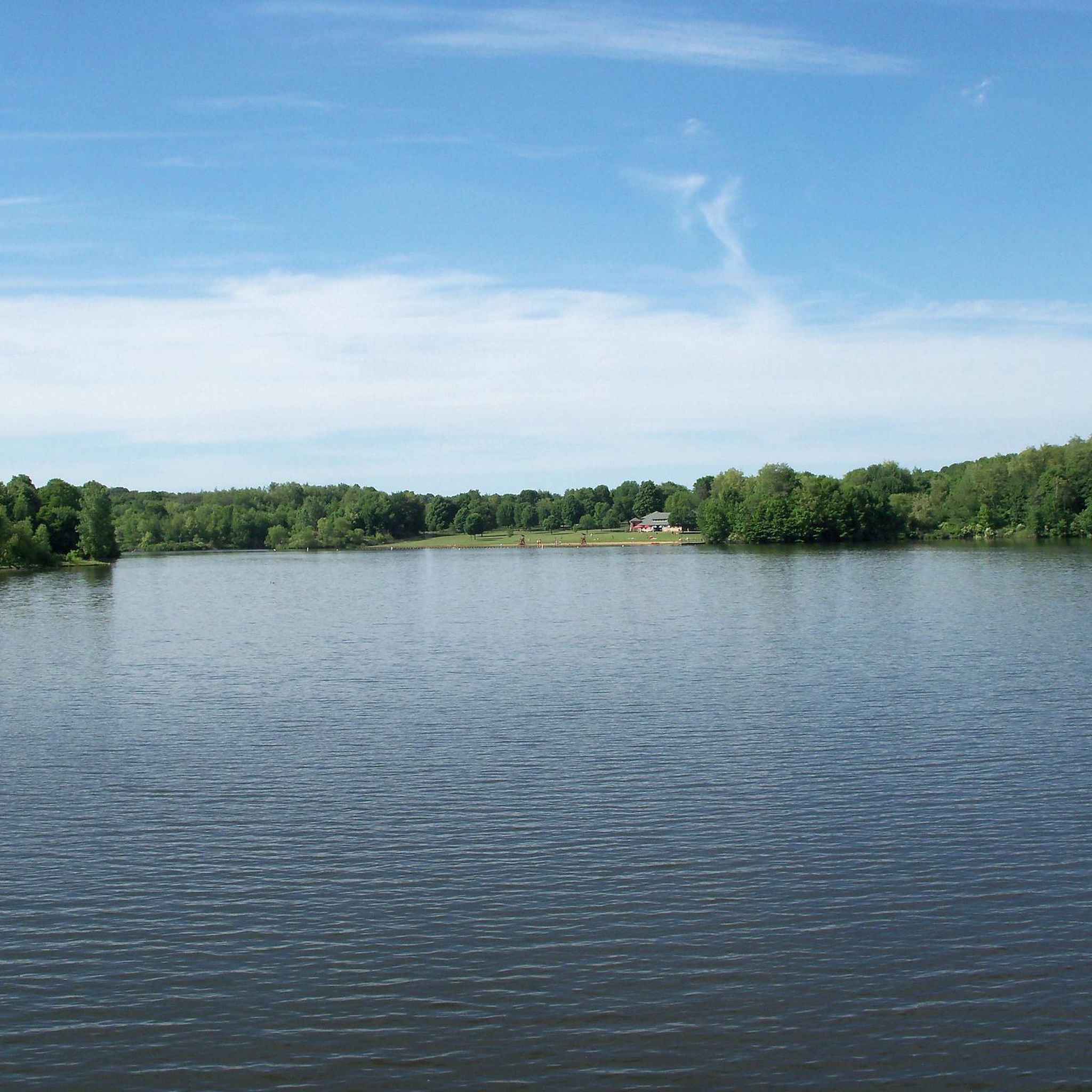
Cuyahoga Valley National Park sits between the cities of Cleveland and Akron along the Cuyahoga River. The park consists of 33,000 acres of deep forests, waterfalls, rolling hills, and farmland.
0
0

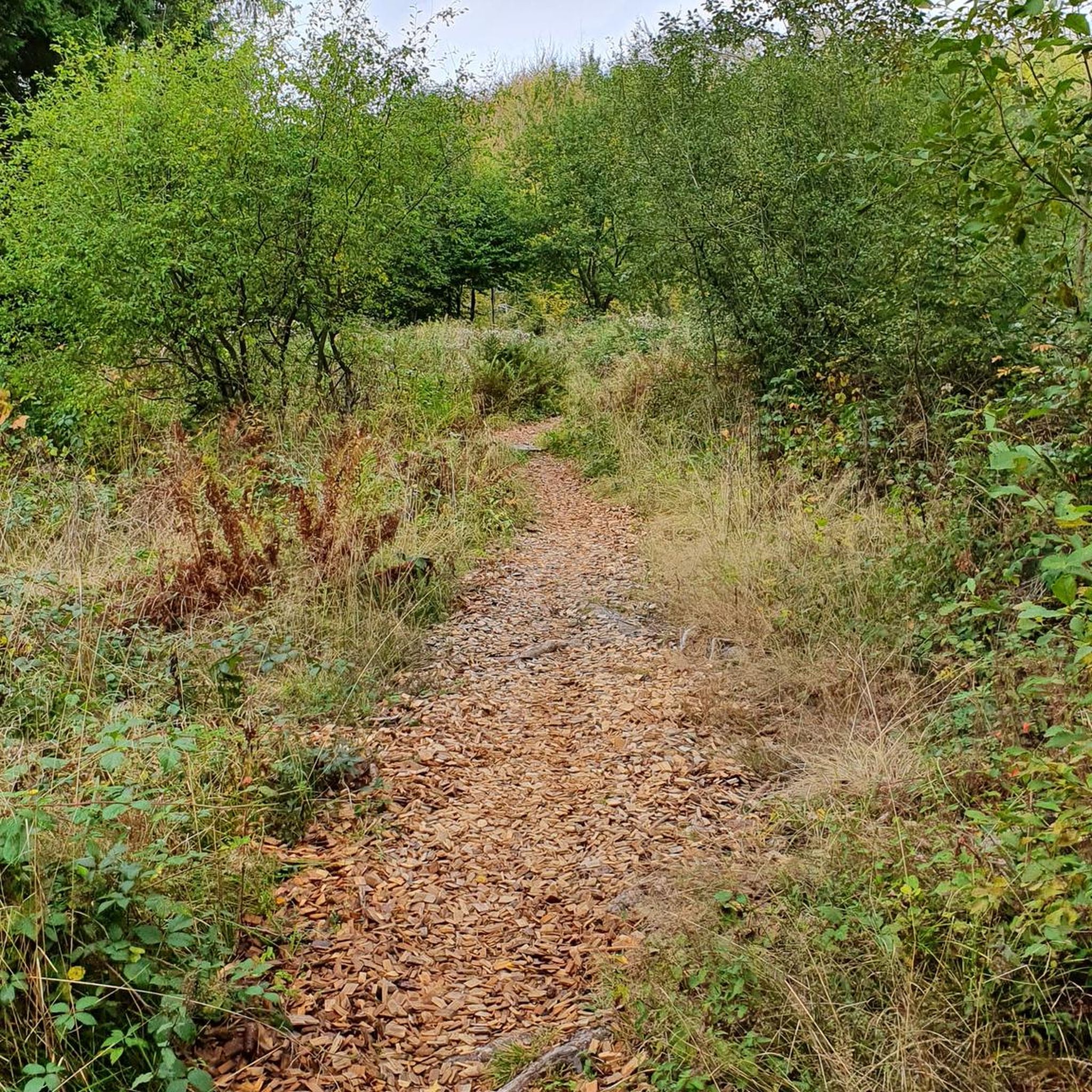
Once upon a time (but really not that long ago), mules walked this towpath as they hauled boats up and down the Ohio & Erie Canal. Nowadays, the towpath is a wonderful multi-use trail that threads alongside the canal and through the occasional bridge, like this one.
0
0

At this spot on the Ohio & Erie Canal Townpath Trail, you pass under I-80. You get a truly unique view of the underside of the highway and of the Cuyahoga River.
0
0
Lock 4 Park, located about 20 miles south of Akron, features the historic "Fulton Lock," the fourth lock south of the Akron summit on the Ohio & Erie Canal. Built in 1827, this sandstone structure is one of 146 lift locks —mechanisms that raised or lowered boats between stretches of water at different elevations — enabling navigation along the canal's 1,000 feet of vertical relief from Lake Erie to the Ohio River. Though no longer operational, the lock and surrounding park has long been a favored local picnic and fishing spot. The park also provides access to the Ohio & Erie Towpath Trail and includes amenities like a historic mill, picnic areas, a handicap-accessible fishing dock, and parking.
0
0
Frequently Asked Questions
Are there road cycling routes suitable for beginners or families in Norton?
Yes, Norton offers several easier road cycling routes. Approximately 4 of the 20 available routes are considered easy, providing a gentle introduction to the area's scenic paths. These routes often feature dedicated bike paths and less challenging terrain, making them ideal for families or those new to road cycling.
What kind of terrain can I expect on road cycling routes around Norton?
Road cycling routes around Norton primarily traverse river valleys and historic canal paths. You'll find a mix of paved roads and dedicated bike trails, winding through woodlands and open areas. Most routes feature moderate elevation changes, suitable for various fitness levels.
How long are the road cycling routes in Norton?
The road cycling routes in Norton vary in length. For example, the Peninsula/Kent loop is a longer ride at 51.7 miles (83.3 km), while the Freedom Trail and Bike & Hike Trail Loop covers a moderate 25.2 miles (40.6 km). There are options ranging from shorter, easier rides to longer, more challenging loops.
What are some scenic viewpoints or natural features I can see while road cycling in Norton?
While cycling in Norton, you'll encounter picturesque river valleys and canal paths. The region's routes often pass through woodlands and open areas, offering views of the natural landscape. You might also spot highlights like Summit Lake or various bridges, such as the Nice covered bridge and the Bridge over Tracks along Freedom Trail.
Are there any historical or cultural attractions along the road cycling routes?
Yes, some routes in Norton pass by areas with historical significance. For instance, the Jaite Mill Historic District – Brecksville-Northfield Bridge loop from Akron Northside takes you near the Jaite Mill Historic District. Another route, the Canal Fulton Historic Disctrict – St Helena Heritage Park loop, explores the Canal Fulton Historic District, offering glimpses into the region's past.
What do other road cyclists enjoy most about road cycling in Norton?
The komoot community highly rates the road cycling experience in Norton, with an average score of 5.0 stars. Reviewers often praise the varied terrain, which includes river valleys, canal paths, and woodlands, providing diverse and engaging rides for all ability levels.
Are there any challenging road cycling routes for experienced riders in Norton?
Yes, for more experienced riders, Norton offers several moderate routes with greater distances and elevation gains. The Peninsula/Kent loop, for example, covers over 50 miles with moderate climbs, providing a good challenge. There are 16 routes rated as moderate, ensuring plenty of options for those seeking a more strenuous ride.
What is the best time of year to go road cycling in Norton?
The best time for road cycling in Norton is generally during the spring, summer, and fall months when the weather is mild and the natural scenery is at its peak. During these seasons, you can fully enjoy the river valleys, canal paths, and woodlands. Winter conditions may present challenges due to cold weather or snow, making some routes less accessible.
Are there any specific trails or paths that are particularly popular for road cycling in Norton?
Among local road cyclists, the Peninsula/Kent loop is a very popular choice. Another favorite is the Freedom Trail and Bike & Hike Trail Loop, which combines dedicated bike paths with road sections for a diverse experience. The Beaver Marsh – Akron Art loop from Akron Northside is also well-loved for its journey through river valleys and urban park areas.
Where can I find facilities or rest stops along the road cycling routes in Norton?
While specific cafes are not detailed, many routes pass through or near towns where you can find amenities. Additionally, some routes may have facilities like the Big Bend Towpath Campsite at Sand Run Metro Park, which can serve as a rest stop or point of interest during your ride.
Are there any point-to-point road cycling routes in Norton, or are they mostly loops?
The guide primarily highlights loop routes, such as the Peninsula/Kent loop and the Freedom Trail and Bike & Hike Trail Loop. These loops offer the convenience of starting and ending at the same location. While specific point-to-point routes are not detailed, the extensive network of paths and roads allows for custom route planning if you prefer a one-way journey.
What should I wear for road cycling in Norton?
Given the varied terrain and potential for moderate elevation changes, it's advisable to wear appropriate cycling attire that wicks away moisture and provides comfort. Layers are recommended, especially during spring and fall, to adapt to changing temperatures. Always wear a helmet for safety.
Most popular routes around Norton
Most popular attractions around Norton

Get inspired with the komoot mobile app


Explore more
Browse the best Road cycling routes in other regions.
