The best cycling routes around Worthington
4.6
(84)
766
riders
64
rides
Touring cycling routes around Worthington primarily follow the Olentangy River and Alum Creek, offering mostly flat terrain suitable for various skill levels. The area features a network of paved trails connecting parks and natural areas, providing accessible cycling experiences. These routes often pass through green spaces and alongside waterways, characterized by gentle elevation changes. The landscape is generally urban and suburban, interspersed with natural river corridors and parklands.
Best touring cycling routes around Worthington
- The most popular touring cycling route is Olentangy River – Delawanda Park loop from Broadmeadows, a 20.2 miles (32.5 km) trail that takes 1 hour 51 minutes to complete. This route follows the Olentangy River, connecting several local parks.
- Another top favourite among local touring cyclists is Olentangy River Trail – Antrim Lake Deck loop from Ohio School for the Deaf, an easy 15.5 miles (24.9 km) path. This trail offers scenic views along the Olentangy River and around Antrim Lake.
- Local touring cyclists also love the Alum Creek Trail – Olentangy River loop from Perry Township, a 41.4 miles (66.6 km) trail leading through river corridors and parklands, often completed in about 3 hours 50 minutes.
- Touring cycling around Worthington is defined by river trails, interconnected park routes, and urban greenways. The network offers options for different ability levels, from easy family-friendly rides to longer, moderate loops.
- The routes in Worthington are highly rated by the komoot community with an average score of 4.5 stars from more than 70 reviews. More than 700 touring cyclists have used komoot to explore Worthington's varied terrain.
Last updated: May 21, 2026
4.6
(5)
75
riders
Moderate bike ride. Good fitness required. Mostly paved surfaces. Suitable for all skill levels.
4.0
(1)
25
riders
Moderate bike ride. Good fitness required. Mostly paved surfaces. Suitable for all skill levels.

Sign up for free
5.0
(1)
21
riders
Easy bike ride. Great for any fitness level. Mostly paved surfaces. Suitable for all skill levels.
5.0
(7)
91
riders
43.8km
02:35
150m
150m
Moderate bike ride. Good fitness required. Mostly paved surfaces. Suitable for all skill levels.
5.0
(2)
19
riders
14.2km
00:49
60m
60m
Easy bike ride. Great for any fitness level. Mostly paved surfaces. Suitable for all skill levels.
Get access to more routes and recommendations from other explorers.
Sign up for free
Already have an account?
Our route recommendations are based on thousands of hikes, rides, and runs completed by other people on komoot.
Start today with a free account
Your next adventure awaits.
Login or Signup
Popular around Worthington
Tips from the Community

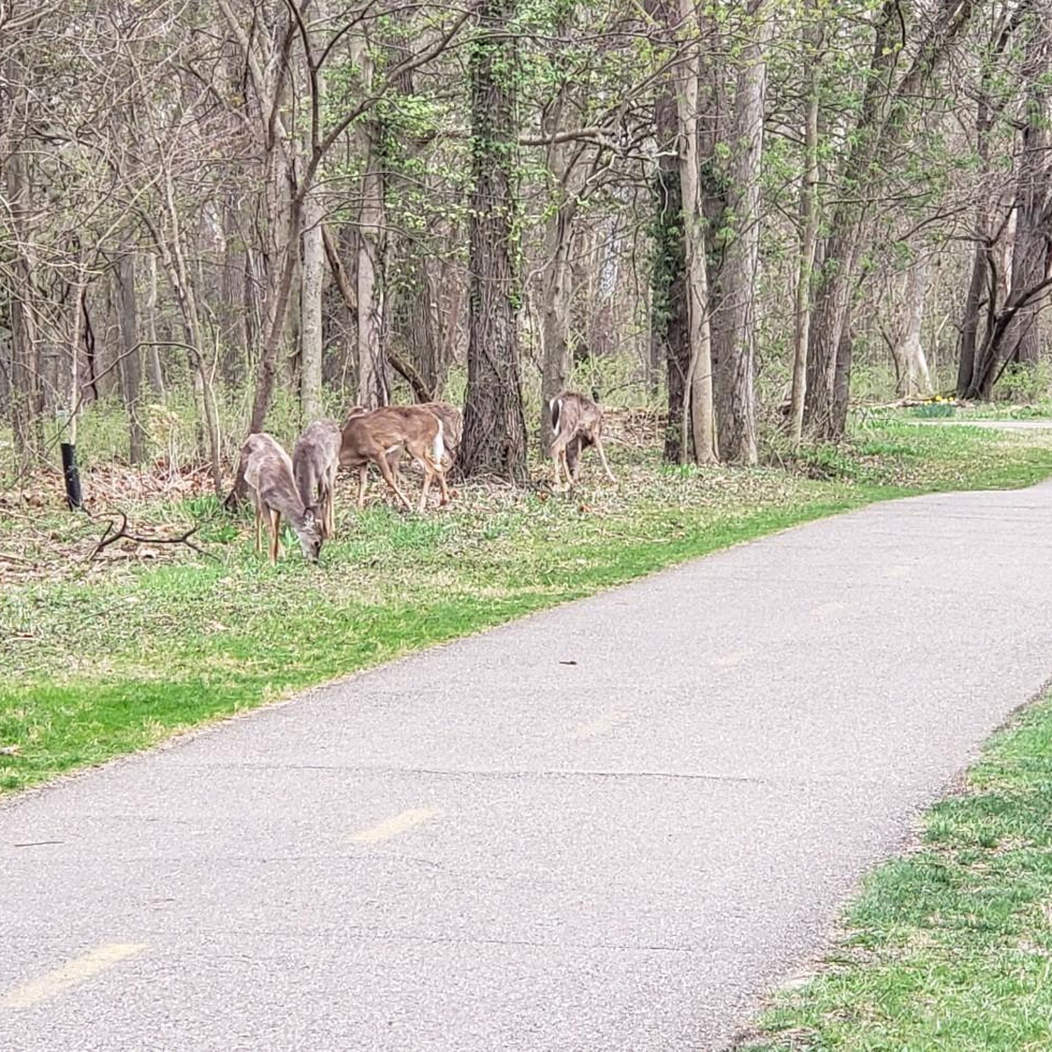
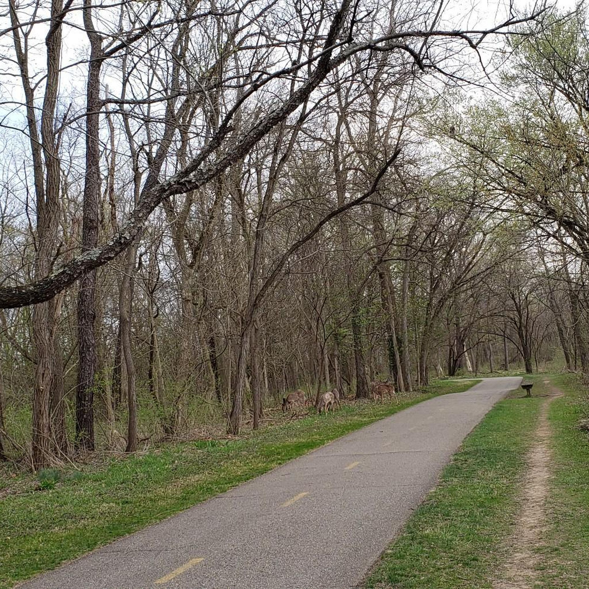
This paved multiuse trail is one of the most popular in Columbus. It provides a great transportation corridor along the Olentangy River, linking users up with neighborhoods, recreation opportunities, local businesses, and the simple opportunity to enjoy some time by the water.
0
0

The Olentangy Trail extends from Worthington to the heart of Columbus, tracing the scenic route along the Olentangy River. This trail meanders through popular parks, recreational facilities, and preserved natural spaces.
0
0

The Union Station Arch stands 35 feet tall and is a Beaux-Arts structure designed by Daniel Burnham. This is the centerpiece of McFerson Commons Park, but it was originally part of Union Station's grand High Street colonnade entrance, completed in 1899. The arch features intricate Corinthian columns, friezes, and angel reliefs. After Union Station's demolition in 1976, preservationists saved the arch, relocating it first to Arch Park in 1980 and later to McFerson Commons in 1999 to make way for a parking garage.
0
0

With the sparkling water in front of you and the city skyline in the background, this is a great place to stop and take in the view. It's especially great on calm, clear nights when the city lights reflect of the water.
0
0

The Olentangy River reaches 97 miles from Morrow County through Delaware County to Columbus, where it meets the Scioto at Confluence Park. Originally called "Keenhongsheconsepung," meaning "sharp tool river," settlers renamed it "Whetstone River" before a legislative mix-up in 1833 assigned it the name "Olentangy." The river serves as a drinking water source for Delaware County, while the Delaware State Park Reservoir is used for flood control. Restoration efforts, including dam removals, have reduced the river’s width and improved ecology.
0
0
Alum Creek streches 58 miles until it drains into the Scioto River. The creek porvides drinking water source for Westerville, and historicly 2,000 years ago, the Adena built mounds along its valley, later inhabited by the Lenape tribe. During the War of 1812, locals built defensive blockhouses, such as Fort Cheshire, a vital role in the Underground Railroad, with the Sycamore Trail aiding escaped slaves. Today, Alum Creek flows through Alum Creek Lake, Westerville, and Columbus before joining Big Walnut Creek at Three Creeks Metro Park.
0
0
The Union Station Arch stands 35 feet tall and is a Beaux-Arts structure designed by Daniel Burnham. This is the centerpiece of McFerson Commons Park, but it was originally part of Union Station's grand High Street colonnade entrance, completed in 1899. The arch features intricate Corinthian columns, friezes, and angel reliefs. After Union Station's demolition in 1976, preservationists saved the arch, relocating it first to Arch Park in 1980 and later to McFerson Commons in 1999 to make way for a parking garage.
0
0
Ohio Stadium, nicknamed "The Shoe," hosts Buckeye football games, concerts, and events, with a record attendance of 110,045 set in 2016. A guest host called a "Redcoat" can take fans behind the scenes of Ohio Stadium.
0
0
Frequently Asked Questions
What kind of terrain can I expect on touring cycling routes around Worthington?
Touring cycling routes around Worthington primarily follow the Olentangy River and Alum Creek, offering mostly flat terrain. The area features a network of paved trails connecting parks and natural areas, providing accessible cycling experiences with gentle elevation changes. The landscape is generally urban and suburban, interspersed with natural river corridors and parklands.
Are there many easy touring cycling routes suitable for beginners in Worthington?
Yes, Worthington offers a good selection of easy routes. Out of the 65 touring cycling routes available, 46 are classified as easy. An excellent option for beginners is the Olentangy River Trail – Antrim Lake Deck loop from Ohio School for the Deaf, an easy 15.5-mile path offering scenic views.
What are some popular loop trails for touring cyclists in Worthington?
Many routes in Worthington are designed as loops, making them convenient for touring cyclists. A popular choice is the Olentangy River – Delawanda Park loop from Broadmeadows, a 20.2-mile trail that follows the Olentangy River and connects several local parks.
What can I see along the touring cycling routes in Worthington?
The routes often pass through green spaces and alongside waterways, offering natural scenery. You can explore various points of interest such as Hoover Reservoir Park, Antrim Lake Deck, and the Alum Creek. The Olentangy River Trail itself is a significant highlight.
Are there any longer, more challenging touring cycling routes in the area?
While many routes are easy, there are options for those seeking a longer ride. The Alum Creek Trail – Olentangy River loop from Perry Township is a moderate 41.4-mile trail that leads through river corridors and parklands, typically completed in about 3 hours 50 minutes.
What do other touring cyclists enjoy most about cycling in Worthington?
The touring cycling routes in Worthington are highly rated by the komoot community, with an average score of 4.5 stars from over 70 reviews. Cyclists often praise the well-maintained paved trails, the scenic river corridors, and the accessibility of routes connecting various parks and natural areas.
How many touring cycling routes are available around Worthington?
There are 65 touring cycling routes available around Worthington on komoot, offering a diverse range of options for different skill levels and preferences.
Are there any routes that offer good scenic viewpoints?
Yes, many routes provide scenic views, especially those along the Olentangy River and around lakes. The Olentangy River Trail – Antrim Lake Deck loop offers particularly good views around Antrim Lake. You can also find an Observation Deck near Schrock Lake.
Can I find shorter touring cycling routes for a quick ride?
Absolutely. For a shorter ride, consider the Antrim Lake Deck – Olentangy River Trail loop from Worthington, which is an easy 8.8-mile (14.1 km) route, perfect for a quick outing.
Are there any less-traveled or 'hidden gem' routes for touring cyclists?
While many routes are popular, the Whetstone Casting Pond – Delawanda Park loop from Ohio School for the Deaf offers a pleasant 13.4-mile (21.5 km) ride that might be less frequented than the main river trails, providing a peaceful cycling experience through local parks.
Most popular attractions around Worthington

Get inspired with the komoot mobile app


Explore more
Browse the best Cycling routes in other regions.
