The best road cycling routes around Riverlea
4.6
(36)
756
riders
45
rides
Road cycling around Riverlea features routes primarily along river corridors and around lake areas, offering generally flat to gently rolling terrain. The region's landscape is characterized by established parklands and multi-use trails, providing accessible paths for cyclists. Elevation changes are typically minimal, making it suitable for various skill levels.
Best road cycling routes around Riverlea
- The most popular road cycling route is Antrim Lake Deck – Olentangy Trail loop from Perry Township, a 22.4 miles (36.0 km) trail that…
Last updated: June 29, 2026
5.0
(10)
131
riders
36.0km
01:28
90m
90m
Easy road ride. Great for any fitness level. Mostly well-paved surfaces and easy to ride.
5.0
(3)
54
riders
Easy road ride. Great for any fitness level. Mostly well-paved surfaces and easy to ride.

Sign up for free
17
riders
42.2km
01:52
130m
140m
Easy road ride. Great for any fitness level. Mostly well-paved surfaces and easy to ride.
14
riders
Easy road ride. Great for any fitness level. Mostly well-paved surfaces and easy to ride.
10
riders
17.7km
00:52
90m
90m
Easy road ride. Great for any fitness level. Mostly well-paved surfaces and easy to ride.
Get access to more routes and recommendations from other explorers.
Sign up for free
Already have an account?
Our route recommendations are based on thousands of hikes, rides, and runs completed by other people on komoot.
Start today with a free account
Your next adventure awaits.
Login or Signup
Popular around Riverlea

Tips from the Community

This paved multiuse trail is one of the most popular in Columbus. It provides a great transportation corridor along the Olentangy River, linking users up with neighborhoods, recreation opportunities, local businesses, and the simple opportunity to enjoy some time by the water.
0
0

The Olentangy Trail extends from Worthington to the heart of Columbus, tracing the scenic route along the Olentangy River. This trail meanders through popular parks, recreational facilities, and preserved natural spaces.
0
0

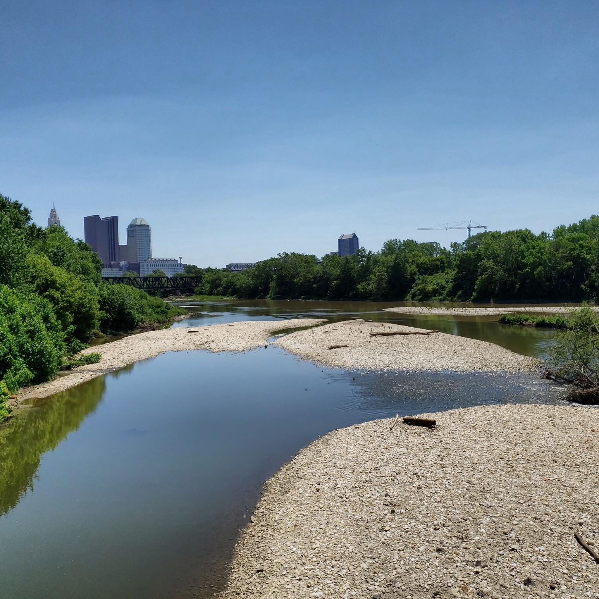
With the sparkling water in front of you and the city skyline in the background, this is a great place to stop and take in the view. It's especially great on calm, clear nights when the city lights reflect of the water.
0
0

The Olentangy River reaches 97 miles from Morrow County through Delaware County to Columbus, where it meets the Scioto at Confluence Park. Originally called "Keenhongsheconsepung," meaning "sharp tool river," settlers renamed it "Whetstone River" before a legislative mix-up in 1833 assigned it the name "Olentangy." The river serves as a drinking water source for Delaware County, while the Delaware State Park Reservoir is used for flood control. Restoration efforts, including dam removals, have reduced the river’s width and improved ecology.
0
0
This 22-mile trail is one of the most important cycling routes in Columbus, connecting neighborhoods and Ohio State University to some of the city's best attractions: Natural areas, historical sites, cultural areas, and more.
0
0
This 3.1-acre neighborhood park in Worthington, located right off the trail, features a small pollinating garden and serves as an ideal trailhead for the Olentangy Trail. It's the perfect spot to start or end a scenic hike along the river.
0
0
The Olentangy Trail extends from Worthington to the heart of Columbus, tracing the scenic route along the Olentangy River. This trail meanders through popular parks, recreational facilities, and preserved natural spaces.
0
0
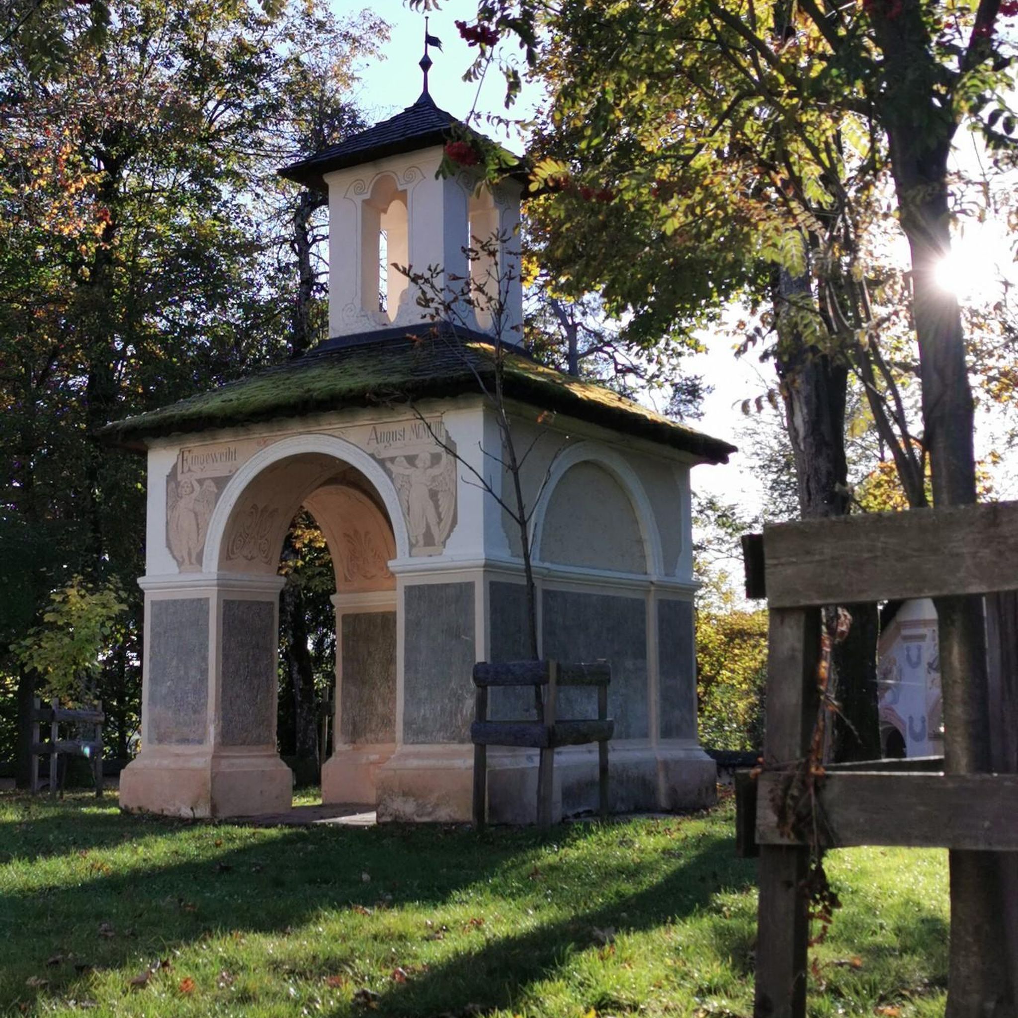
Here, a bridge along the trail crosses over the Olentangy River. This bridge connects both sides of the park and is a great place for a quiet pause and good views of the river.
0
0
Frequently Asked Questions
How many road cycling routes are available in Riverlea?
There are over 40 road cycling routes around Riverlea, offering diverse options for cyclists. The komoot community has explored these routes over 600 times, providing an average rating of 4.6 stars.
What is the typical terrain like for road cycling in Riverlea?
Road cycling in Riverlea primarily features routes along river corridors and around lake areas. The terrain is generally flat to gently rolling, with established parklands and multi-use trails. While many routes have minimal elevation changes, areas like the Chiltern Hills in England or the gullies and low hills near Hamilton Lake in New Zealand offer more varied inclines for those seeking a challenge.
Are there road cycling routes suitable for beginners or families in Riverlea?
Yes, Riverlea offers many easy road cycling routes perfect for beginners and families. Over 25 of the routes are classified as easy, featuring generally flat paths through parkland settings with minimal elevation gain. An example is the Olentangy Trail – Olentangy Trail loop from Northwest Columbus, which is an easy 13.8-mile path.
Are there more challenging road cycling routes in Riverlea?
While many routes are easy, Riverlea also offers moderate road cycling options for those looking for more challenge. There are over 15 moderate routes available, which may include gentle inclines or longer distances. The Alum Creek Trail – Olentangy River loop from Ohio School for the Deaf is a moderate 32-mile trail that leads through river corridors and park areas.
What kind of natural features or landmarks can I expect to see along the road cycling routes?
Road cycling routes in Riverlea often pass by scenic natural features and landmarks. You can expect to see beautiful river areas like Alum Creek and the Olentangy River Trail, as well as serene lakes such as Antrim Lake Deck and Schrock Lake. Some routes also offer views of significant structures like Ohio Stadium or pass through green spaces like Delawanda Park.
Are there any loop road cycling routes in Riverlea?
Yes, many road cycling routes in Riverlea are designed as loops, offering convenient starting and ending points. For instance, the Antrim Lake Deck – Olentangy Trail loop from Perry Township is a popular 22.4-mile loop, and the Antrim Lake Deck loop from Boardwalk St & Shapter Ave is another great option for a circular ride.
What do other road cyclists enjoy most about cycling in Riverlea?
The area is highly rated by the komoot community, with an average score of 4.6 stars from over 30 reviews. Cyclists often praise the well-maintained paths, the scenic river corridors, and the accessible parkland settings that make for enjoyable rides. The variety of routes, from easy to moderate, also receives positive feedback.
Are there good viewpoints along the road cycling routes in Riverlea?
Yes, several routes offer excellent viewpoints, particularly around the lake areas. For example, the Antrim Lake Deck provides scenic vistas, and there's an Observation Deck near Schrock Lake that offers panoramic views. The paths around Hamilton Lake in New Zealand also provide stunning views of the lake and surrounding landscapes.
What is the best time of year to go road cycling in Riverlea?
While specific seasonal considerations can vary by location within Riverlea, generally, spring through autumn offers the most pleasant conditions for road cycling. The weather is typically milder, and the natural landscapes are vibrant. Winter cycling is possible, but conditions may be colder and some paths could be affected by weather.
Are there any specific trails or areas known for their beauty in Riverlea?
Many areas in Riverlea are known for their beauty. The River Lea in England, for instance, flows through the extensive Lee Valley Park, offering wetlands and woodlands. In New Zealand, the paths around Hamilton Lake (Lake Rotoroa) are celebrated for their tranquil settings and scenic views. The Antrim Lake Deck – Whetstone Park of Roses loop from Northwest Columbus is another route that takes you through beautiful parklands.
Most popular routes around Riverlea
Most popular attractions around Riverlea

Get inspired with the komoot mobile app


Explore more
Browse the best Road cycling routes in other regions.
