The best road cycling routes around Groveport
4.7
(6)
252
riders
11
rides
Road cycling around Groveport, Ohio, features an extensive network of paved multi-use trails that connect the city to surrounding natural areas. The terrain is generally flat, offering accessible routes through green spaces, woodlands, and open meadows alongside creeks. These trails provide a safe cycling experience, often separated from busy roadways, and link to several Metro Parks, including Three Creeks Metro Park and Walnut Woods Metro Park.
Best road cycling routes around Groveport
- The most popular road cycling route is Turtle…
Last updated: November 1, 2026
73.6km
02:58
270m
270m
Moderate road ride. Good fitness required. Mostly well-paved surfaces and easy to ride.
4.5
(2)
39
riders
30.1km
01:11
50m
50m
Easy road ride. Mostly well-paved surfaces and easy to ride.

4.0
(1)
45
riders
44.0km
01:45
110m
110m
Easy road ride. Mostly well-paved surfaces and easy to ride.
24
riders
52.6km
02:14
160m
160m
Moderate road ride. Good fitness required. Mostly well-paved surfaces and easy to ride.
5.0
(1)
11
riders
37.9km
01:28
70m
70m
Easy road ride. Mostly well-paved surfaces and easy to ride.
Get access to more routes and recommendations from other explorers.
Already have an account?
Our route recommendations are based on thousands of hikes, rides, and runs completed by other people on komoot.
Start today with a free account
Your next adventure awaits.
Popular around Groveport

Tips from the Community

With the sparkling water in front of you and the city skyline in the background, this is a great place to stop and take in the view. It's especially great on calm, clear nights when the city lights reflect of the water.
0
0

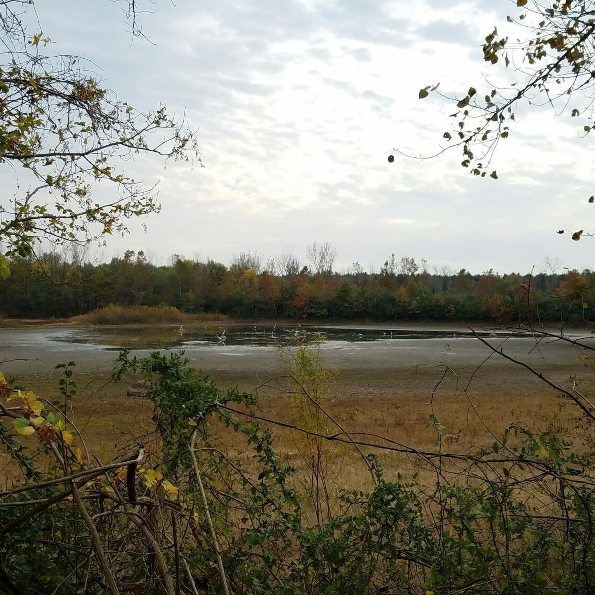
Turtle Pond is located near the Alum Creek Trail. With a short detour, you can visit the pond and take a quick stop to enjoy the scenery.
0
0
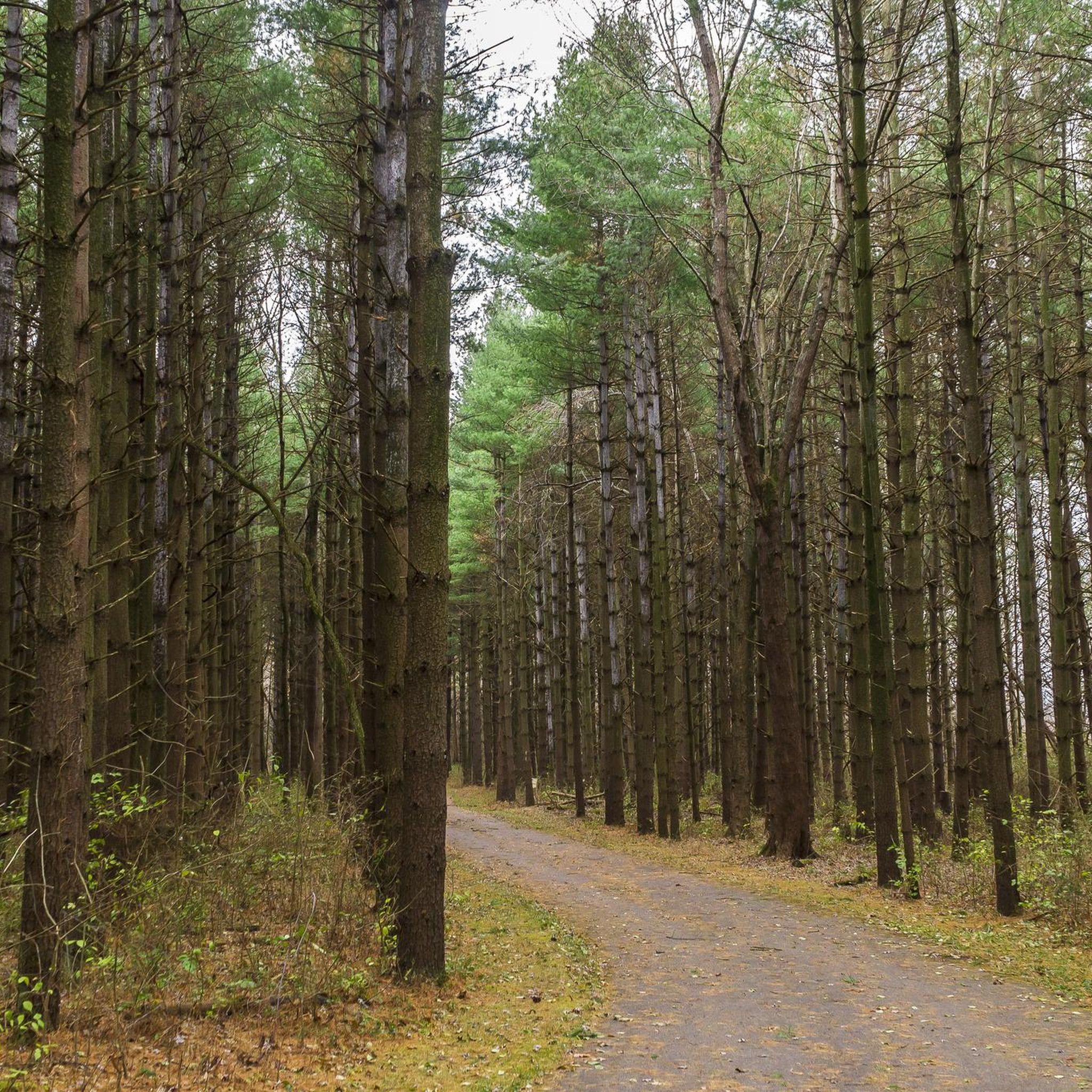
This park derives its name from the confluence where Alum, Big Walnut, and Blacklick creeks come together. It comprises five areas with separate entrances, all interconnected, offering a variety of routes to explore.
0
0

The Olentangy River reaches 97 miles from Morrow County through Delaware County to Columbus, where it meets the Scioto at Confluence Park. Originally called "Keenhongsheconsepung," meaning "sharp tool river," settlers renamed it "Whetstone River" before a legislative mix-up in 1833 assigned it the name "Olentangy." The river serves as a drinking water source for Delaware County, while the Delaware State Park Reservoir is used for flood control. Restoration efforts, including dam removals, have reduced the river’s width and improved ecology.
0
0

Here, you will cross a bridge that spans over Alum Creek, a 58-mile-long stream flowing through central Ohio. The creek begins in Morrow County, travels through Delaware County, and ends in Franklin County, where it merges with Big Walnut Creek, eventually draining into the Scioto River.
0
0
The Olentangy Trail extends from Worthington to the heart of Columbus, tracing the scenic route along the Olentangy River. This trail meanders through popular parks, recreational facilities, and preserved natural spaces.
0
0
Delawanda Park, spanning 58.3 acres, offers a peaceful green space for visitors. Nestled alongside the Olentangy River, the park is a great destination for year-round enjoyment. With its well-maintained walking trails, including a bike path, the park provides opportunities for both leisurely strolls and active pursuits.
0
0

Alum Creek Trails travels along one of Columbus's most scenic river corridors. Sections of the trail are also designated as part of the Ohio to Erie Trails and U.S. Bicycle Route 50.
0
0
Frequently Asked Questions
What are the general characteristics of road cycling routes in Groveport?
Road cycling in Groveport, Ohio, is characterized by an extensive network of paved multi-use trails. The terrain is generally flat, offering accessible routes through green spaces, woodlands, and open meadows alongside creeks. These trails provide a safe cycling experience, often separated from busy roadways, and connect to several Metro Parks like Three Creeks Metro Park and Walnut Woods Metro Park.
How many road cycling routes are available in Groveport?
There are at least 6 dedicated road cycling routes around Groveport, offering a variety of distances and experiences. These routes are highly rated by the komoot community, with an average score of 4.75 stars.
Are there easy road cycling routes suitable for beginners in Groveport?
Yes, Groveport offers several easy road cycling routes perfect for beginners. For example, the Three Creeks Metro Park – Heron Pond loop from Eastmoor Academy High School is an easy 22.6-mile (36.4 km) trail. Another accessible option is the Turtle Pond – Blacklick Creek Trail loop from Three Creeks Metro Park, which is 20.8 miles (33.4 km) long.
Are there longer, more challenging road cycling routes for experienced riders?
For more experienced riders seeking longer distances, Groveport has moderate routes available. The South Columbus to Westerville loop is a moderate 45.8-mile (73.6 km) path with a total elevation gain of 870 feet (265 meters), offering varied scenery. Another option is the Blacklick Creek and Alum Creek Trail Loop, a 31.3-mile (50.4 km) route that combines two extensive trail systems.
What natural features and landmarks can I see along the road cycling routes in Groveport?
Many routes in Groveport pass through or near significant natural areas. You can explore the diverse landscapes of Three Creeks Metro Park, with its forests, wetlands, and prairies. Walnut Woods Metro Park offers scenic cycling through stands of old nursery trees and along Walnut Creek. The historic Ohio and Erie Canal, including Lock 22, is also a notable feature along some routes. You might also spot Heron Pond or Turtle Pond.
Are the road cycling trails in Groveport suitable for families?
Yes, the generally flat and well-maintained paved multi-use trails in Groveport are very suitable for families. Trails like the Alum Creek Trail and Blacklick Creek Greenway Trail are designed to separate cyclists from busy roadways, ensuring a safer and smoother experience for all skill levels, including children.
Where can I find parking for road cycling trails in Groveport?
Many of the Metro Parks that serve as trailheads for Groveport's cycling routes offer ample parking. For instance, Three Creeks Metro Park and Walnut Woods Metro Park provide convenient access points and parking facilities for cyclists looking to explore the Alum Creek Trail or Blacklick Creek Greenway Trail.
Is public transport available to access road cycling trails in Groveport?
While Groveport has local public transport options, direct access to specific trailheads via public transport can vary. It's advisable to check local bus routes and schedules, such as those provided by COTA (Central Ohio Transit Authority), to determine the best way to reach your desired starting point for trails like the Alum Creek or Blacklick Creek Greenway.
Are there cafes or places to eat near the road cycling routes in Groveport?
Groveport and the surrounding areas offer various amenities, including cafes and restaurants, particularly closer to the town center and along major roads. While specific establishments directly on the trails might be limited, you'll find options within a short distance of major trail access points and Metro Parks.
What do other road cyclists enjoy most about cycling in Groveport?
The road cycling routes in Groveport are highly rated by the komoot community, with an average score of 4.75 stars. Reviewers often praise the extensive network of well-maintained paved trails, the peaceful scenery through wooded areas and open meadows, and the safe cycling experience due to separation from traffic. The connectivity to various Metro Parks is also a frequently appreciated aspect.
What is the best time of year for road cycling in Groveport?
The spring, summer, and fall months generally offer the best conditions for road cycling in Groveport. Spring brings pleasant temperatures and blooming wildflowers, while summer is ideal for long rides, though it can be warm. Fall provides cooler weather and beautiful foliage. Winter cycling is possible but may involve colder temperatures and potential for snow or ice on trails.
Are there any loop trails for road cycling in Groveport?
Yes, Groveport features several excellent loop trails for road cycling. Examples include the Three Creeks Metro Park – Heron Pond loop from Eastmoor Academy High School and the Turtle Pond – Blacklick Creek Trail loop from Three Creeks Metro Park. Walnut Woods Metro Park also offers paved loops like the Buckeye Trail and Monarch Trail within its grounds.
Most popular routes around Groveport
Most popular attractions around Groveport

Get inspired with the komoot mobile app


Explore more
Browse the best Road cycling routes in other regions.
