Top 20 Mountain Passes around Innervillgraten
Best mountain passes around Innervillgraten provide access to high-altitude routes and diverse alpine experiences. This region, located near the border with South Tyrol, is characterized by pristine natural landscapes and extensive hiking trails. It offers opportunities for traversing mountain ridges, exploring historical routes, and experiencing unspoiled nature. The area features a network of trails that connect valleys and peaks, providing panoramic views of the surrounding mountains.
Best mountain passes around Innervillgraten
- The most popular mountain passes is Old Military Road…
Last updated: June 26, 2026
Old Military Road to Marchkinkele
Highlight • Trail
Translated by Google •
Tip by

Staller Pass
Highlight • Mountain Pass
Translated by Google •
Tip by

Sign up now to discover places like this
Get recommendations on the best single tracks, peaks, & plenty of other exciting outdoor places.
Sign up for free
Uwaldalm
Highlight • Mountain Hut
Translated by Google •
Tip by

Switchbacks towards Cornetto di Confine
Highlight (Segment) • Trail
Translated by Google •
Tip by

Gsieser Gorge
Highlight • Mountain Pass
Translated by Google •
Tip by

Sign up for free to discover even more mountain passes around Innervillgraten.
Sign up for free
Already have an account?
Start today with a free account
Your next adventure awaits.
Login or Signup
Popular around Innervillgraten
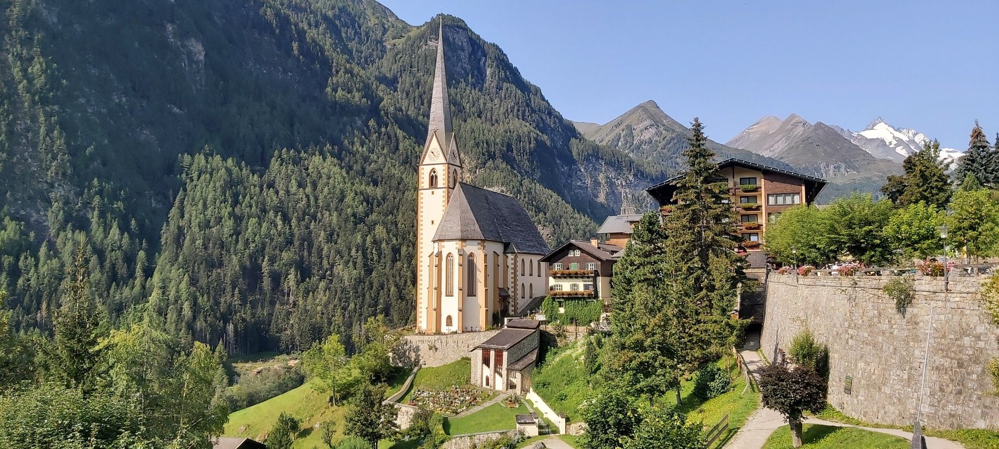
Austria's High & Holy Pilgrimage Trail – Walking across mountains and borders
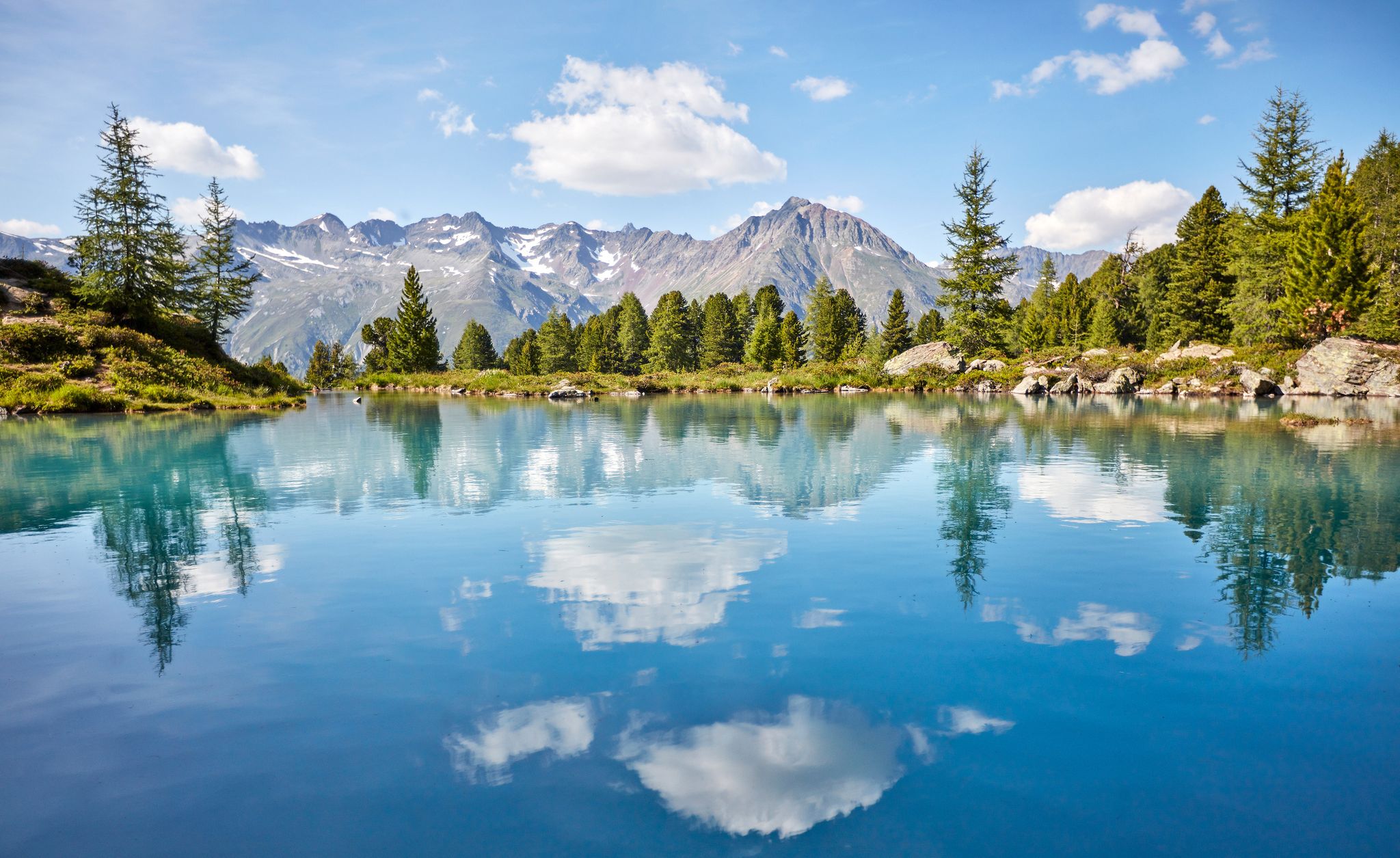
You don't need the sea when you’re Austria – hikes to incredible water spots
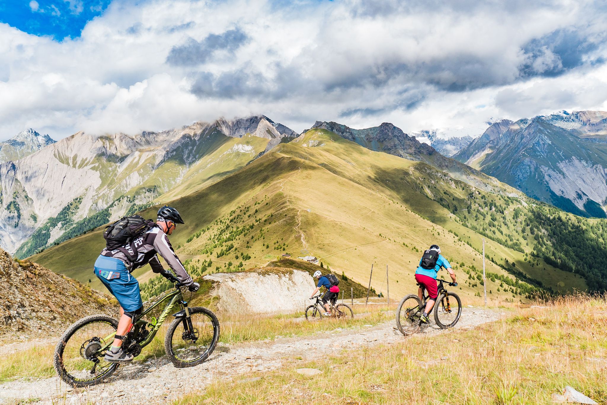
Unlimited mountain bike fun – singletrack paradise in East Tyrol
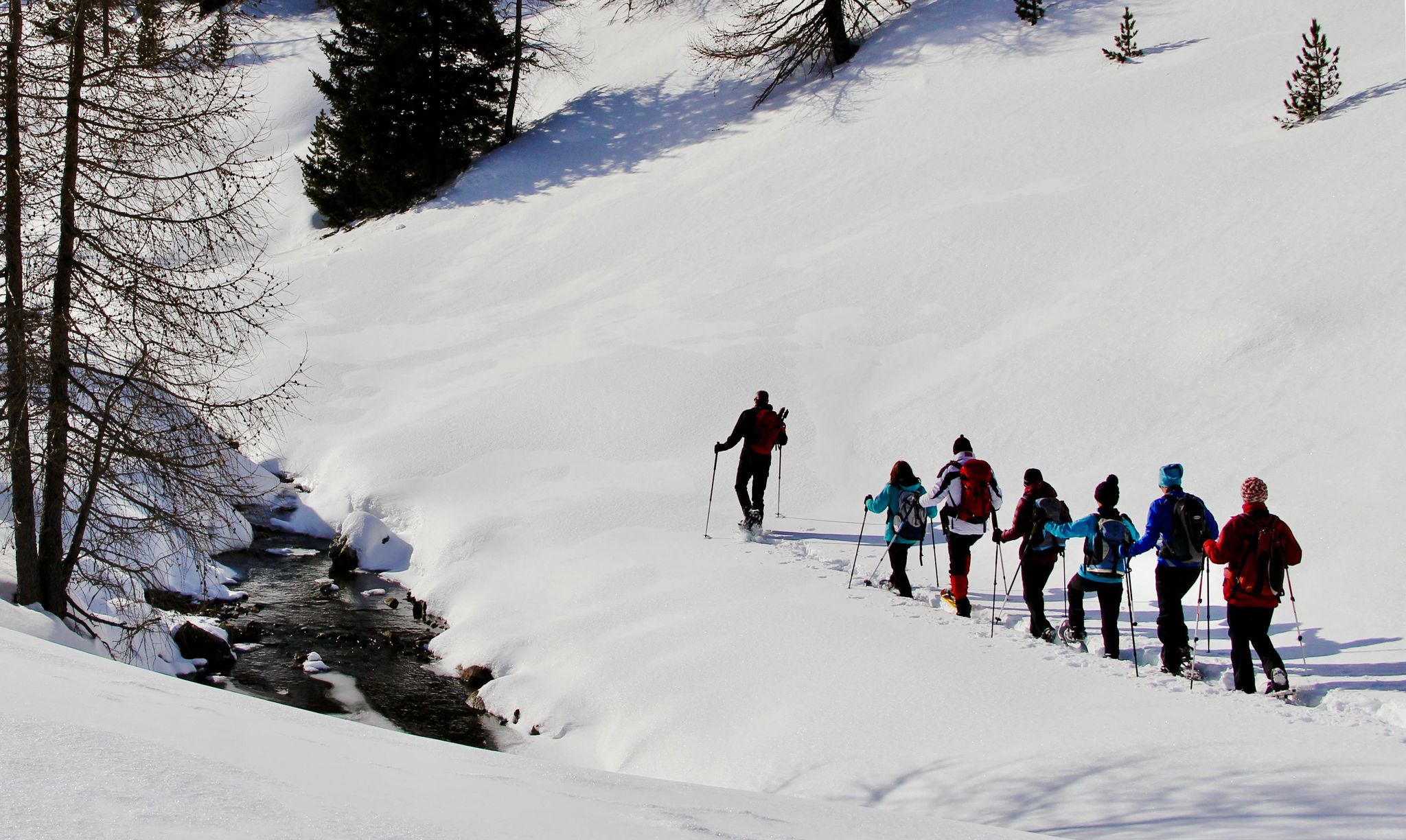
Snowshoe magic in East Tyrol
Zehn fantastische Touren durch das Mountainbike-Paradies Osttirol
Hiking around Innervillgraten
Road Cycling Routes around Innervillgraten
MTB Trails around Innervillgraten
Cycling around Innervillgraten

Gravel biking around Innervillgraten
Other adventures around Innervillgraten


Tips from the Community

If you're riding a mountain bike, you'll have to carry it a lot if you want to get here from Maria Hilf//St. Jakob.
1
0

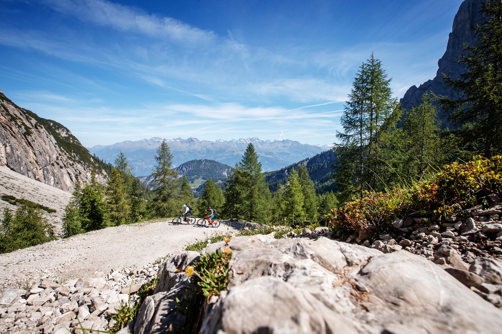
This splendid dirt road climbs towards the Cornetto di Confine (Markinkele in German), a well-known peak on the border between Italy and Austria, in the municipality of Dobbiaco. The slopes are never prohibitive and climbing here with your mountain bike is truly beautiful. Stop at some hairpin bends to admire the splendid surrounding panorama.
2
0

The Stallersattel is a mountain pass that connects South Tyrol and East Tyrol. At the same time, the border between Austria and Italy runs here. On the Austrian side, the pass road is well developed and easy to drive on. On the Italian side the road is narrow and can only be driven on alternately in one lane. From up here you have a beautiful view in all directions and you can enjoy a walk around the Obersee.
9
0

Beautiful and pleasant path up to Marchkinkele with a number of hairpin bends.
2
0

There is very delicious food on the Alm. The portions are plentiful, it might be better to order a meal for two. It took us 1.25 hours from the Alm to the end of the valley, the bus leaves at x.29.
1
0

The Staller saddle is much more than just a border between Austria and Italy, much more than just a connection between the Defereggental and the Antholzertal. In summer, the Obersee is a popular destination. The lake invites you to take a short walk along the shore around the lake or just relax in the sun. The Staller Sattel is also a popular destination for one or the other mountain hike, such as a mountain tour on the Rote Wand.
5
1

An old military road leads from the Silvesteralm via the Marchhütte up to the Marchkinkele. With an average gradient of 11%, it goes up the almost 5 km long serpentine route. On the way to the summit, you pass the Strickberg Stoneman stamping point, where you have a wonderful panoramic view of the Sexten Dolomites, grandiose and a reward for the torment.
5
1
Again and again there is a magnificent view of the Sexten Dolomites and the 3 Peaks on the ascent to the Marchkinkele.
5
1
Frequently Asked Questions
What are some notable high-altitude routes or passes in Innervillgraten?
Innervillgraten offers several unique high-altitude experiences. The Old Military Road to Marchkinkele provides challenging ascents with panoramic views of the Sexten Dolomites. The Staller Pass marks the border between Austria and Italy, offering views of Obersee and Antholz Lake. For a hut experience with views into Val Casies, consider Uwaldalm.
What kind of panoramic views can I expect from the mountain passes in Innervillgraten?
The high-altitude routes around Innervillgraten offer continuous panoramic views. From the Old Military Road to Marchkinkele, you can see the Sexten Dolomites. The Thurntaler mountain area, though a summit rather than a pass, provides a 360° view of the Villgraten mountains, Carnic Alps, Gailtal Alps, and the Sesto & Lienz Dolomites. Ski touring peaks like Rote Kinkele also offer indescribable 360-degree panoramas across the South Tyrolean Dolomites, Carnic Ridge, and the Glockner and Venediger groups.
Are there any historical mountain passes or routes in the area?
Yes, Innervillgraten has routes with historical significance. The Gsieser Gorge (Gsieser Törl) is a border pass that was historically used as a smuggler route between Italy and Austria, particularly in the 1920s and 30s. The Herzass Long-Distance Hiking Trail also includes the 'Grenzlandweg' (borderland path) with historical remnants from World War I.
What outdoor activities can I do near the mountain passes in Innervillgraten?
The region around Innervillgraten is a haven for outdoor enthusiasts. You can enjoy extensive hiking and mountaineering, including cross-border hikes into South Tyrol. Ski touring is popular in winter. For more specific routes, explore the Mountain Hikes around Innervillgraten, Road Cycling Routes around Innervillgraten, and MTB Trails around Innervillgraten guides.
Are there family-friendly high-altitude routes or passes in Innervillgraten?
While many routes are challenging, the Thurntaler mountain area near Außervillgraten offers a variety of easy to medium-difficulty hiking routes suitable for different age groups. The Thurntaler Rast restaurant serves as a convenient starting point for many of these hikes. You can find more information about the family hiking area on visitausservillgraten.com.
What are the conditions like for mountain passes in Innervillgraten during winter?
Innervillgraten is a renowned destination for ski mountaineering in winter, offering numerous high-alpine crossings. Peaks like Rote Kinkele and Gaishörndl are popular for ski touring, providing challenging ascents and exceptional deep snow slopes for descent. The Uwaldalm is also managed in the cold season and offers a great view, accessible via prepared forest paths or snowshoe routes.
Can I go road cycling or mountain biking on or near these passes?
Yes, the region offers opportunities for both road cycling and mountain biking. The Old Military Road to Marchkinkele, while challenging, is a popular route for cyclists. For more options, refer to the Road Cycling Routes around Innervillgraten and MTB Trails around Innervillgraten guides.
What is the Herzass Long-Distance Hiking Trail?
The 'Herzass' is a 70-kilometer-long route divided into five legs that circles the two mountain villages of Außervillgraten and Innervillgraten, passing by 50 peaks. The 5th stage, known as the 'Grenzlandweg,' leads from Kalkstein over flower-covered meadows up to the Bonner Höhenweg and towards the Thurntaler mountain, offering continuous panoramic views and historical interest.
Are there any specific regulations or unique features to be aware of on these routes?
When traversing the Staller Pass on the Italian side, there is a one-way traffic regulation with traffic lights. Driving is permitted alternately for 15 minutes each hour. Additionally, on routes like the Gsieser Gorge, you might encounter grazing suckler cows, and signs indicate that dogs may not be allowed through certain pastures due to the presence of cattle.
What makes Innervillgraten unique for mountain pass experiences?
Innervillgraten is known for its pristine natural landscapes and a philosophy of gentle, sustainable tourism, which preserves its originality and beauty. This focus means visitors can experience raw, untouched nature and a tranquil environment, far from mass tourism, making any high-altitude excursion truly immersive and rewarding.
What do visitors enjoy most about the high-altitude routes in Innervillgraten?
Visitors frequently highlight the breathtaking panoramic views, especially of the Dolomites and surrounding mountain ranges. The tranquility and unspoiled nature of the Villgratental are also highly appreciated. Many enjoy the challenging yet rewarding terrain, the historical elements found along routes like the Grenzlandweg, and the unique experience of cross-border hikes.
Most popular routes around Innervillgraten
Most popular attractions around Innervillgraten

Get inspired with the komoot mobile app


Explore more
See even more epic mountain passes by checking out these guides around Innervillgraten:
