Attractions and Places To See around Innervillgraten - Top 20
Best attractions and places to see around Innervillgraten are found within the Villgraten Valley in East Tyrol, Austria. This alpine high valley is characterized by its natural landscapes and cultural heritage. The region is known for its commitment to sustainable tourism and the preservation of centuries-old traditions. Visitors can explore numerous peaks, historic alpine villages, and cultural sites.
Best attractions and places to see around Innervillgraten
- The most popular attractions is Lake Anterselva – Antholzer See, a lake located at the foot of the Staller Sattel. It is the third largest lake in South Tyrol, with a 3.5 km long path around it.
- Another must-see spot is Sillianer Hut (Rifugio Sillianer), a hut situated at 2,447 meters on the Carnic Ridge. It serves as a base for several long-distance hiking trails and offers views of the East Tyrolean mountains.
- Visitors also love Leckfeldalm Mountain Lodge, a mountain inn at 1,900 meters above sea level. This lodge provides a resting point on the Stoneman trail and offers overnight stays during summer months.
- Innervillgraten is known for its natural features, cultural sites, and extensive hiking routes. The area offers a variety of attractions, from historic alpine villages and open-air museums to numerous mountain peaks and lakes.
- The attractions around Innervillgraten are appreciated by the komoot community, with more than 1400 upvotes and over 880 photos shared.
Last updated: July 6, 2026
Lake Anterselva – Antholzer See
Highlight (Segment) • Lake
Translated by Google •
Tip by

Sillianer Hut (Rifugio Sillianer)
Highlight • Mountain Hut
Translated by Google •
Tip by

Sign up now to discover places like this
Get recommendations on the best single tracks, peaks, & plenty of other exciting outdoor places.
Sign up for free
Lake Anterselva
Highlight • Lake
Translated by Google •
Tip by
Leckfeldalm Mountain Lodge
Highlight • Mountain Hut
A hut taxi is also available at the Leckfeldalm.
You can stay overnight here so you can start hiking towards the Sillianer Hütte the next day.....
Translated by Google •
Tip by

Monte Elmo Summit
Highlight • Summit
Next to the crumbling ruins of the old Helmhaus, where construction work is currently underway (as of August 2025), stands a simple yet powerful summit cross. The vertical beam appears to grow directly out of the pile of stones—as if it were a part of the mountain itself. A figure of Christ hangs from it, whose serene expression causes every passerby to pause. Its half-open eyes gaze toward the border between Italy and Austria—as if silently watching over the land.
Translated by Google •
Tip by
Sign up for free to discover even more attractions around Innervillgraten.
Sign up for free
Already have an account?
Start today with a free account
Your next adventure awaits.
Login or Signup
Popular around Innervillgraten
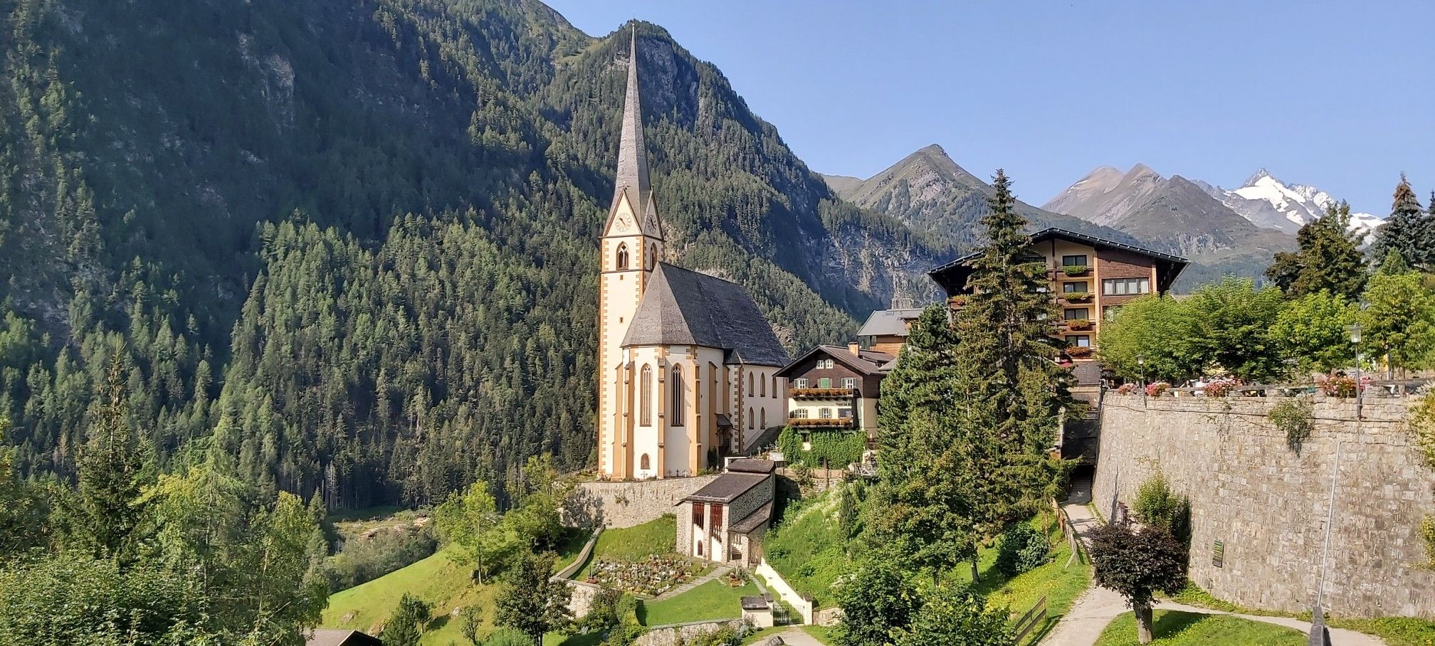
Austria's High & Holy Pilgrimage Trail – Walking across mountains and borders
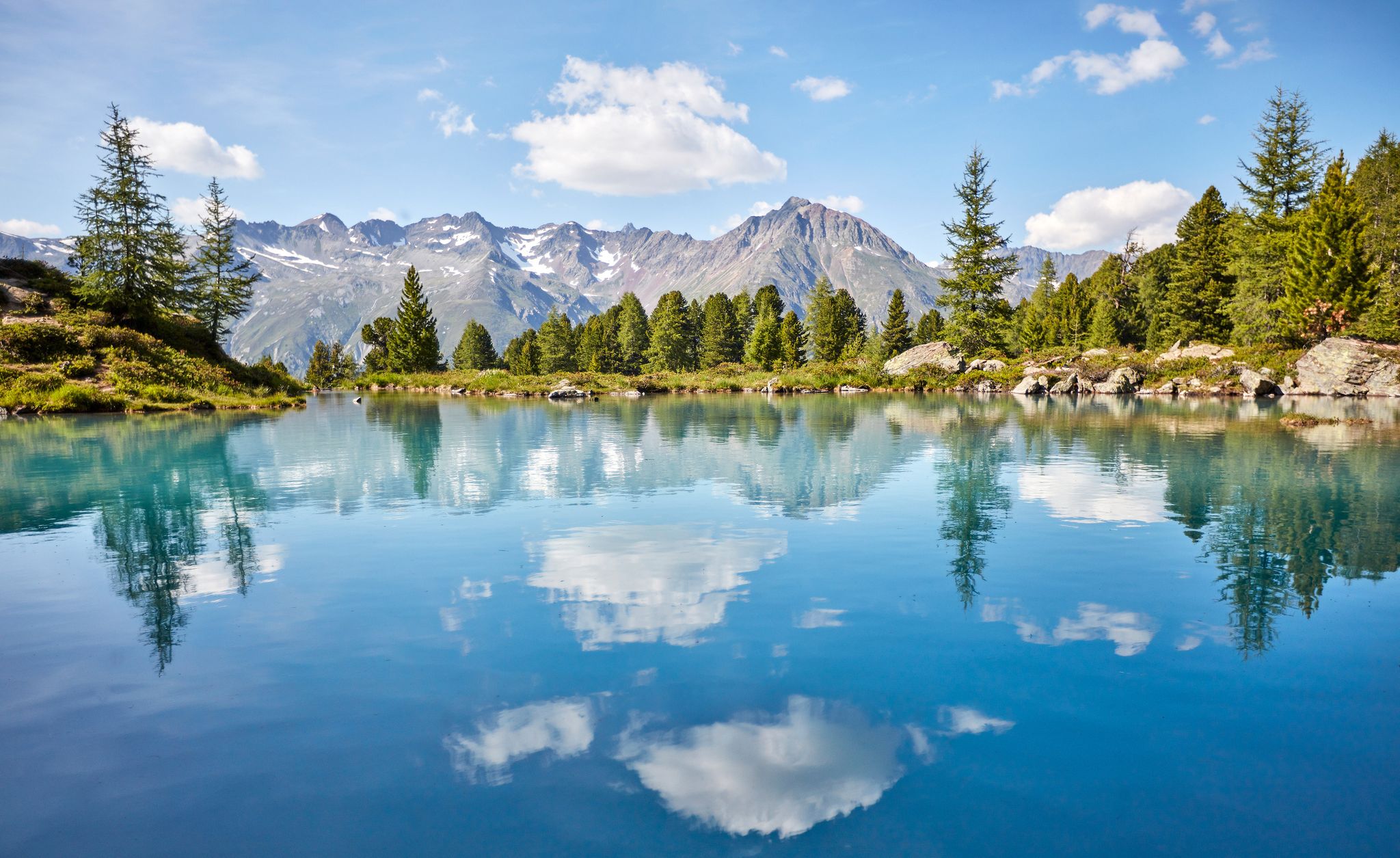
You don't need the sea when you’re Austria – hikes to incredible water spots
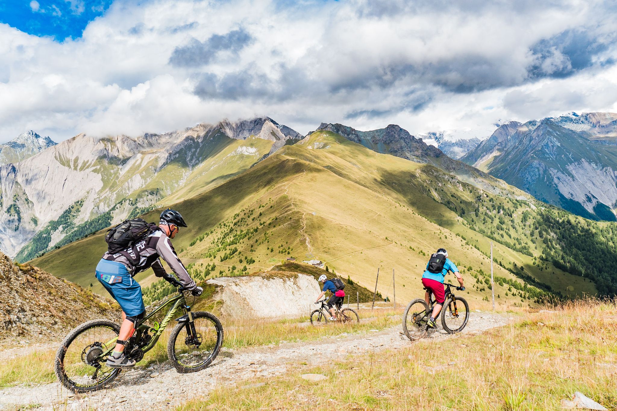
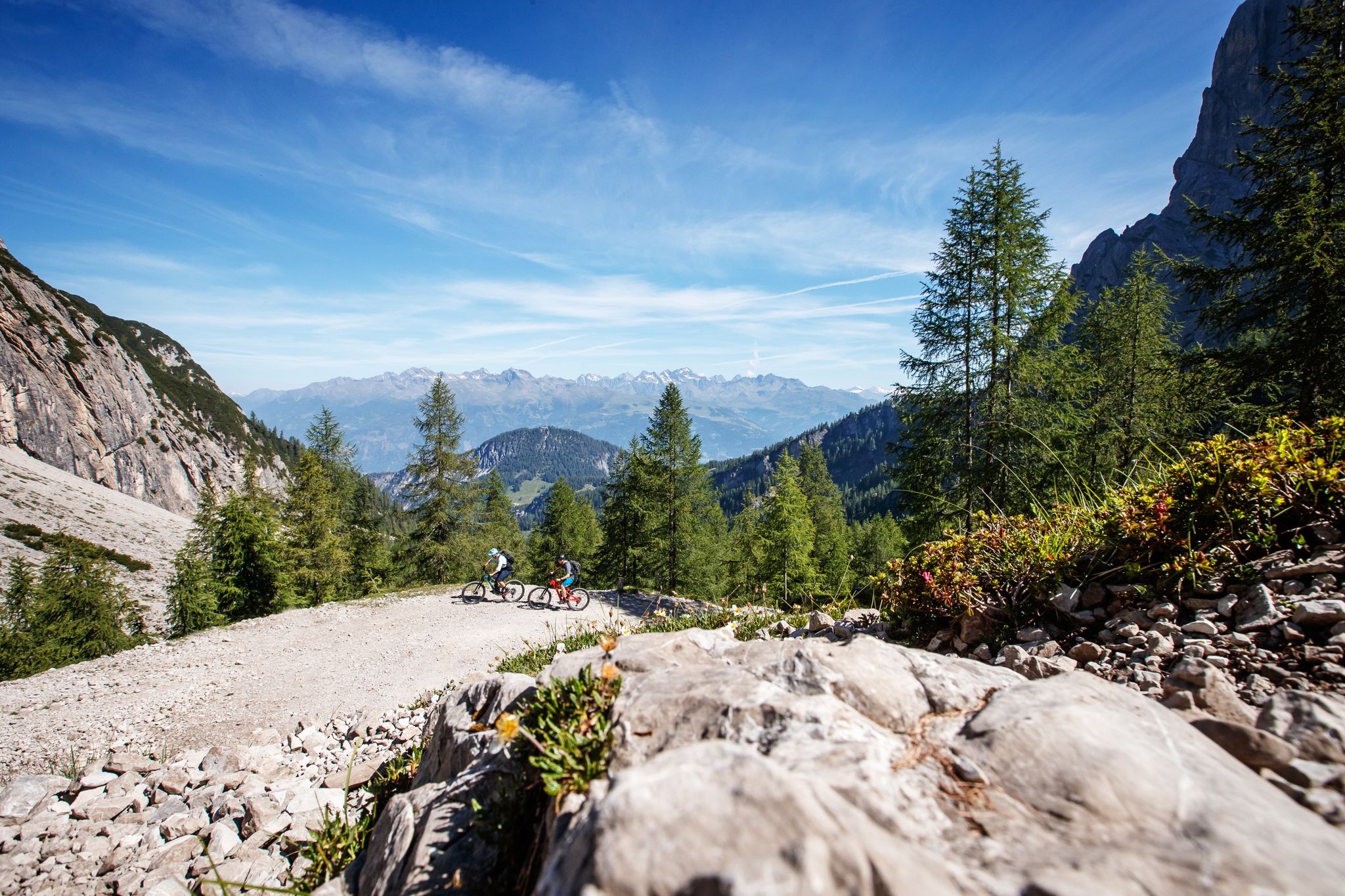
Unlimited mountain bike fun – singletrack paradise in East Tyrol
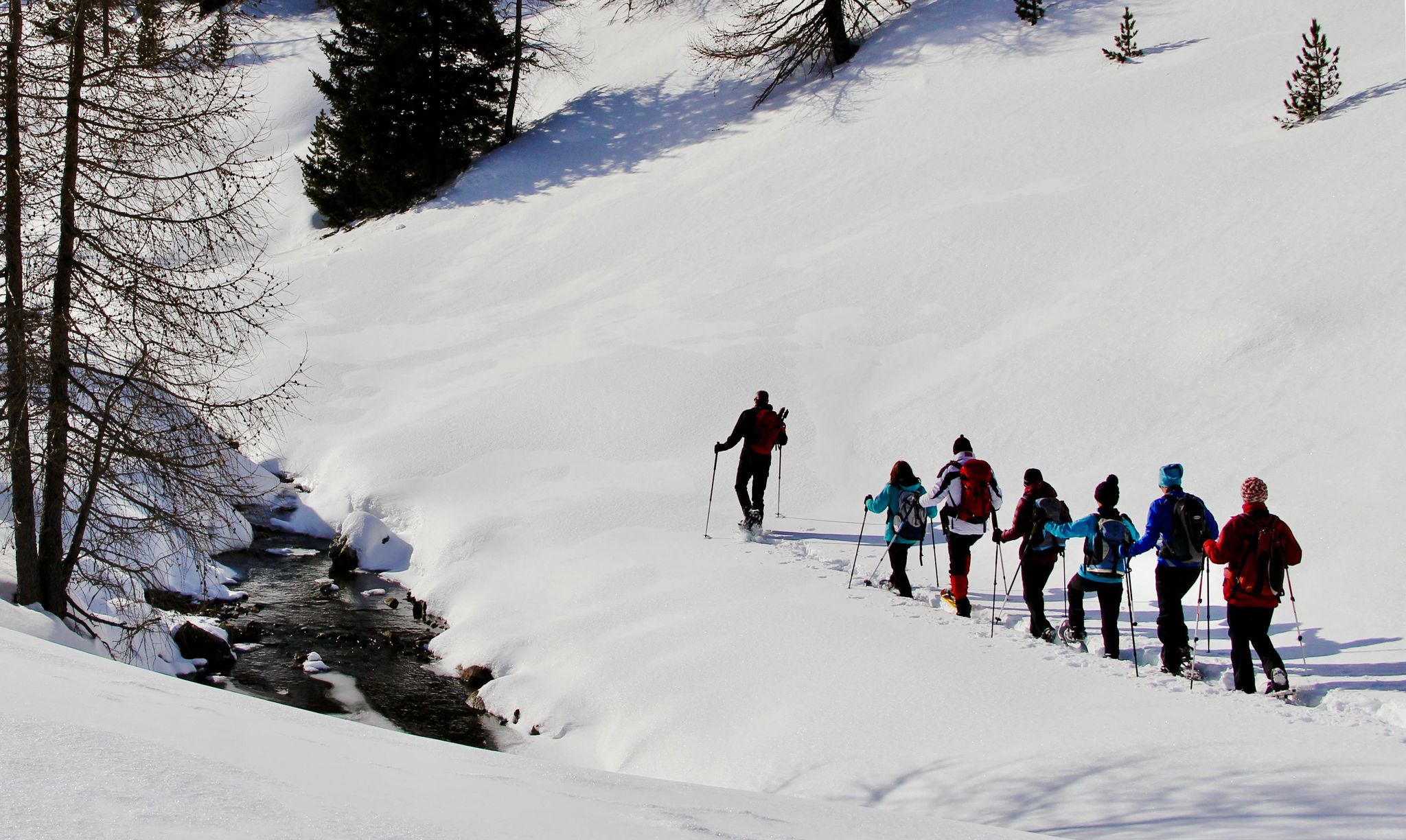
Snowshoe magic in East Tyrol
Zehn fantastische Touren durch das Mountainbike-Paradies Osttirol
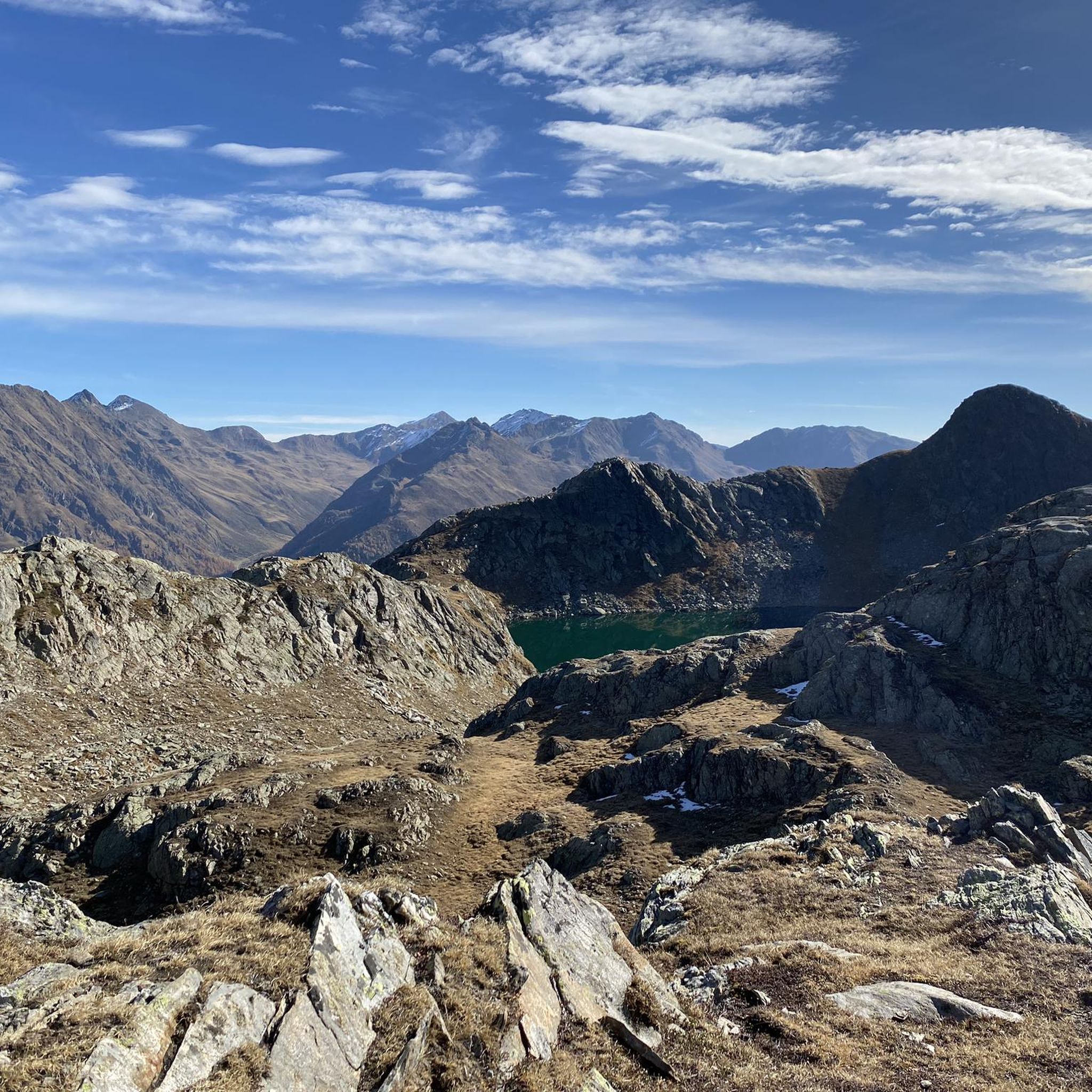
Hiking around Innervillgraten
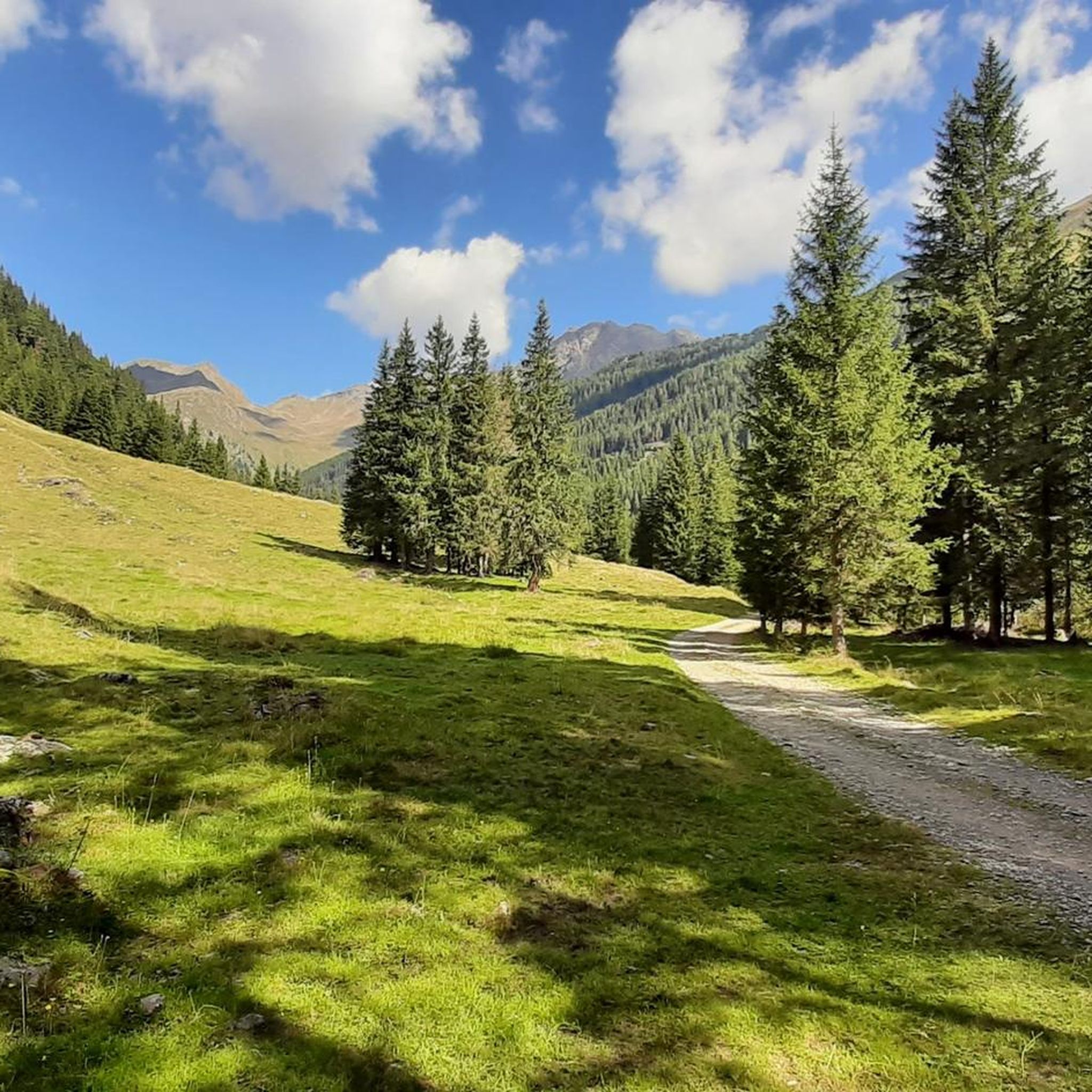
Road Cycling Routes around Innervillgraten
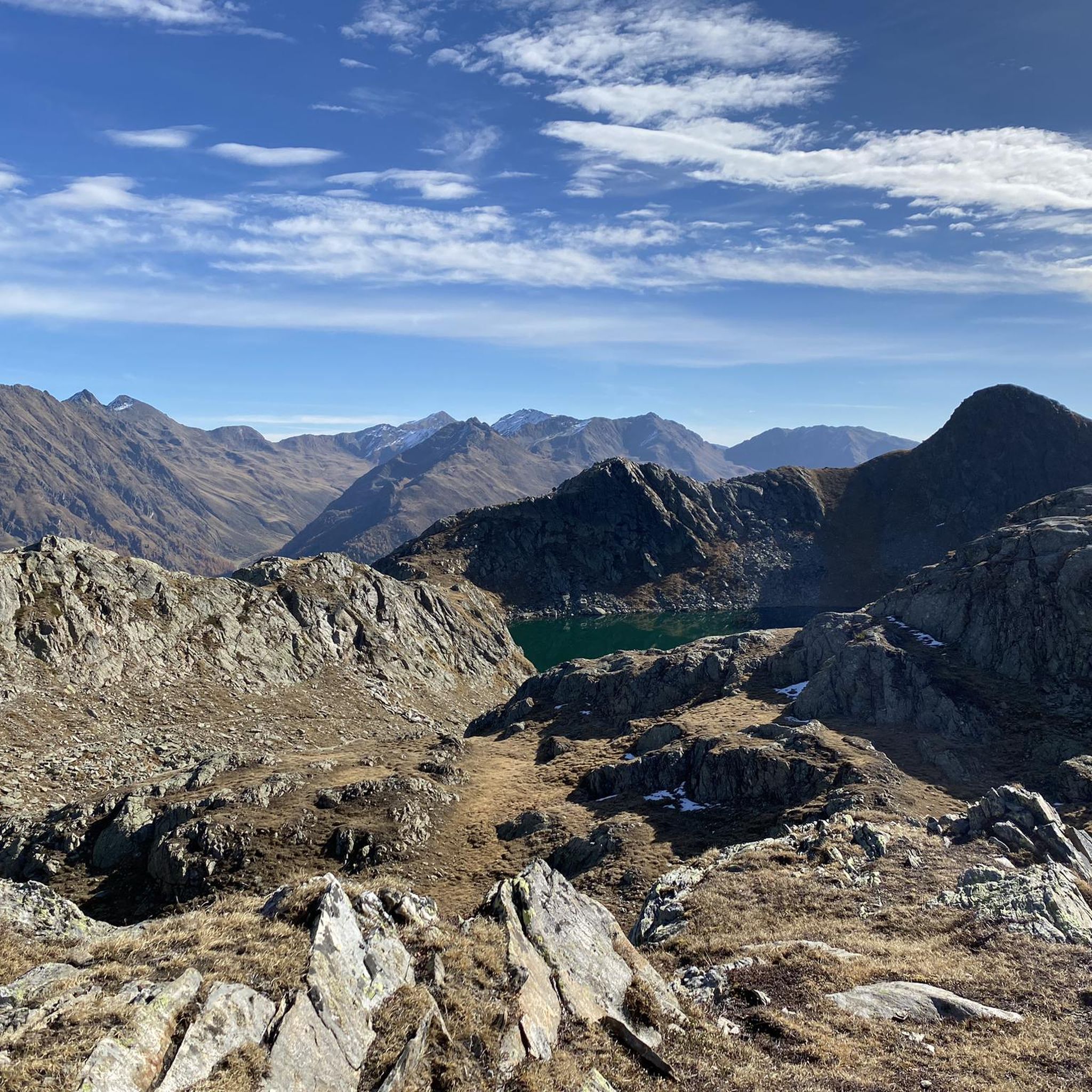
MTB Trails around Innervillgraten
Cycling around Innervillgraten

Gravel biking around Innervillgraten
Other adventures around Innervillgraten


Tips from the Community

...a great region, not just for mountain biking! 🚵
3
0

An easily accessible and panoramic summit with a unique blend of nature, panorama, and history, it's ideal as an entry point to the Carnic High Route, for day trips with panoramic views, or even for a first alpine experience with cable car assistance.
36
1
The Sillianer Hütte marks both the start and end point of the Carnic High Route 403, also known as the Peace Trail or Via della Pace. It also serves as an important base for several long-distance hiking trails, including the Austrian Southern Alpine Long-Distance Trail No. 03 (Sillian–Karawanken–Radkersburg), the European Long-Distance Trail E10, and the Via Alpina. In addition to its function as a base for long-distance hikers, the hut is a popular destination for day-trippers—both vacationers and locals from the entire Hochpustertal Valley. Well-marked trails in the surrounding area lead to numerous worthwhile destinations, such as the Heimkehrerkreuz (2,273 m), the Helmgipfel (2,433 m), the Hornischeck (2,551 m), the Hollbrucker Eck (2,573 m), the Hochgränten war cemetery, and many other scenic spots.
33
1
The Helm mountain is located directly on the border between Austria (East Tyrol) and Italy (South Tyrol). On its summit, the ruins of the former Helmhütte (helm hut) are visible from afar. Numerous remnants of military installations from the mountain warfare of 1915 to 1918 can still be found in the surrounding area. Next to the crumbling ruins of the old Helmhaus, where construction work is currently underway (as of August 2025), stands a simple yet powerful summit cross. The vertical beam appears to grow directly out of the pile of stones—as if it were a part of the mountain itself. A figure of Christ hangs from it, whose serene expression causes every passerby to pause. Its half-open eyes gaze toward the border between Italy and Austria—as if silently watching over the land.
43
0
Located at 2,447 meters on the Carnic Ridge, the hut was built in 1986 as a modern replacement for the dilapidated Hinterberger Hut. Extensive expansions and renovations were carried out in 2018 and 2019 to better meet today's requirements.
39
0

There is a beautiful hiking trail around Lake Antholz with lovely views
3
0

The Antholzer See is located at the end of the Antholzer valley, at the foot of the Staller Sattel, at an altitude of 1642m. With an area of 43 hectares and a depth of 43 m, it is the third largest lake in South Tyrol. You can walk around the lake on a path that is about 3.5 km long, with a difference in altitude of about 90 m.
11
0
The Antholzer See is located at the end of the Antholzer valley, at the foot of the Staller Sattel, at an altitude of 1642m. With an area of 43 hectares and a depth of 43 m, it is the third largest lake in South Tyrol. You can walk around the lake on a path that is about 3.5 km long, with a difference in altitude of about 90 m.
14
1
Frequently Asked Questions
What natural features can I explore in and around Innervillgraten?
Innervillgraten is rich in natural beauty. You can visit the impressive Lake Anterselva – Antholzer See, the third-largest lake in South Tyrol, offering a scenic 3.5 km walking path. The Villgraten Mountains provide extensive hiking opportunities, including the 70-kilometer "Herzass" Long-Distance Hiking Trail. Don't miss the Monte Elmo Summit, which offers panoramic views and historical insights into military installations.
Are there any historical or cultural sites to visit in Innervillgraten?
Yes, Innervillgraten preserves its rich cultural heritage. The listed alpine village of Oberstaller Alm features 18 historic huts and a chapel. The Hamlet of Kalkstein is home to the pilgrimage church Maria Schnee, built in 1660. For a deeper dive into traditional alpine life, visit the Freilichtmuseum Alpines Leben Innervillgraten, which includes a water-powered Wegelate Saw, a Lodenstampf, and an authentic 18th-century farmhouse.
What outdoor activities are available in Innervillgraten?
Innervillgraten offers a variety of outdoor activities. You can enjoy extensive hiking and mountaineering in the Villgraten Mountains, including cross-border hikes into Italy. Mountain biking is popular, with trails like the 23 km "Berg-Radl-Weg Innervillgraten." In winter, the region is known for two toboggan runs, snowshoe hiking, and ski touring. For more detailed routes, explore the hiking, running, and cycling guides around Innervillgraten.
Are there family-friendly attractions or activities in Innervillgraten?
Innervillgraten is suitable for families. The path around Lake Anterselva – Antholzer See is about 3.5 km long and easy for all ages. The Stauderlift in Innervillgraten is ideal for children and skiing beginners during winter. The Freilichtmuseum Alpines Leben Innervillgraten offers an engaging look into past alpine life, which can be educational for children. Many of the highlights, such as Sillianer Hut (Rifugio Sillianer) and Leckfeldalm Mountain Lodge, are also marked as family-friendly.
What are some popular hiking trails near Innervillgraten?
Innervillgraten is a hiker's paradise. Popular routes include the "Herzass" Long-Distance Hiking Trail, which covers 70 kilometers around the Villgraten Valley. You can also find trails leading to the Monte Elmo Summit. For specific routes and their difficulty, check out the Hiking around Innervillgraten guide, which features trails like the Toblacher Pfannhorn and Marchkinkele Loop or the Kalkstein hamlet – Peststeig Trail loop.
When is the best time to visit Innervillgraten for outdoor activities?
The best time to visit Innervillgraten depends on your preferred activities. Summer and early autumn are ideal for hiking, mountain biking, and exploring natural and cultural sites. The region's alpine huts, like Leckfeldalm Mountain Lodge, are typically open during the summer months. Winter offers excellent conditions for skiing, snowshoeing, and tobogganing, with the Villgraten Valley known as a snow-assured ski touring area.
Are there any viewpoints or panoramic spots in the area?
Yes, Innervillgraten offers several stunning viewpoints. The newly built viewing platform at Klapfbachwasserfall provides excellent views of the waterfall. The Monte Elmo Summit offers panoramic views of the main Alpine ridge and the Dolomites. Additionally, the Sillianer Hut (Rifugio Sillianer), located at 2,447 meters, provides unique views of the East Tyrolean mountains.
Where can I find local products or unique souvenirs in Innervillgraten?
For local products, visit the Villgrater Natur Haus. This establishment showcases products from Villgrater Natur, including sleeping systems, insulation materials, and culinary specialties. You can find items like sheep and goat cheese, lamb products, and local honey, reflecting the region's commitment to sustainable practices and traditional craftsmanship.
What winter activities are available in Innervillgraten?
In winter, Innervillgraten transforms into a snowy playground. You can enjoy two toboggan runs: the Sandberg toboggan run and the illuminated Kalksteiner Weg. The Stauderlift is suitable for children and skiing beginners. Snowshoe hiking is a popular way to explore the pristine landscapes, and the Villgraten Valley is also renowned as a snow-assured ski touring area.
Are there options for food and accommodation near the attractions?
Yes, several attractions offer food and accommodation. The Sillianer Hut (Rifugio Sillianer) provides delicious food and overnight stays with rooms and dorms. Similarly, the Leckfeldalm Mountain Lodge is a cozy mountain inn at 1,900 meters, offering snacks and overnight stays during the summer months. The region also has various cafes, restaurants, and accommodations in the villages.
What is the Oberstaller Alm and how can I visit it?
The Oberstaller Alm is an impressive, listed alpine village featuring 18 historic, sun-scorched alpine huts and a chapel. It's a popular and easily accessible destination, often serving as a starting point for short hikes from the Unterstaller Alm. Its cultural significance as a preserved alpine village makes it a unique place to experience traditional alpine life.
Can I find challenging hikes in the Innervillgraten area?
Absolutely. The Villgraten Mountains offer numerous peaks and extensive mountaineering opportunities for experienced hikers. The "Herzass" Long-Distance Hiking Trail, covering 70 kilometers and passing 50 peaks, provides a significant challenge. Additionally, trails leading to summits like the Monte Elmo Summit can be quite demanding. For specific challenging routes, consult the Hiking around Innervillgraten guide, which lists routes with 'difficult' ratings.
Most popular routes around Innervillgraten
Most popular attractions around Innervillgraten

Get inspired with the komoot mobile app


Explore more
Still not found the Highlight you’re looking for? See guides of the top attractions in other regions:
