The 4 Most Amazing Peaks around Gars am Kamp
Mountain peaks around Gars am Kamp offer elevated points and scenic routes within the picturesque Kamp Valley. The region features historical sites and provides panoramic vistas, sometimes extending to distant Alpine peaks. These locations are characterized by their natural beauty and cultural significance. The terrain includes low mountain ridges and elevated positions, making it suitable for various outdoor activities.
Best mountain peaks around Gars am Kamp
- The most popular mountain peaks is Kampthalerwarte, a viewpoint that offers expansive views…
Last updated: June 24, 2026
Kampthalerwarte
Highlight • Viewpoint
Translated by Google •
Tip by

Pope’s Tower
Highlight • Viewpoint
In 1983 the Papal Observatory was opened near Doberndorf. This was built on the occasion of the …
Translated by Google •
Tip by

Sign up now to discover places like this
Get recommendations on the best single tracks, peaks, & plenty of other exciting outdoor places.
Sign up for free
Pyramids on the Manhartsberg
Highlight • Monument
Translated by Google •
Tip by

Manhartsberg Summit and Memorial Cross
Highlight • Summit
Translated by Google •
Tip by

Kogelsteine
Highlight • Natural Monument
A historical place - as many finds prove, our ancestors already enjoyed this place.
Translated by Google •
Tip by

Sign up for free to discover even more peaks around Gars am Kamp.
Sign up for free
Already have an account?
Start today with a free account
Your next adventure awaits.
Login or Signup
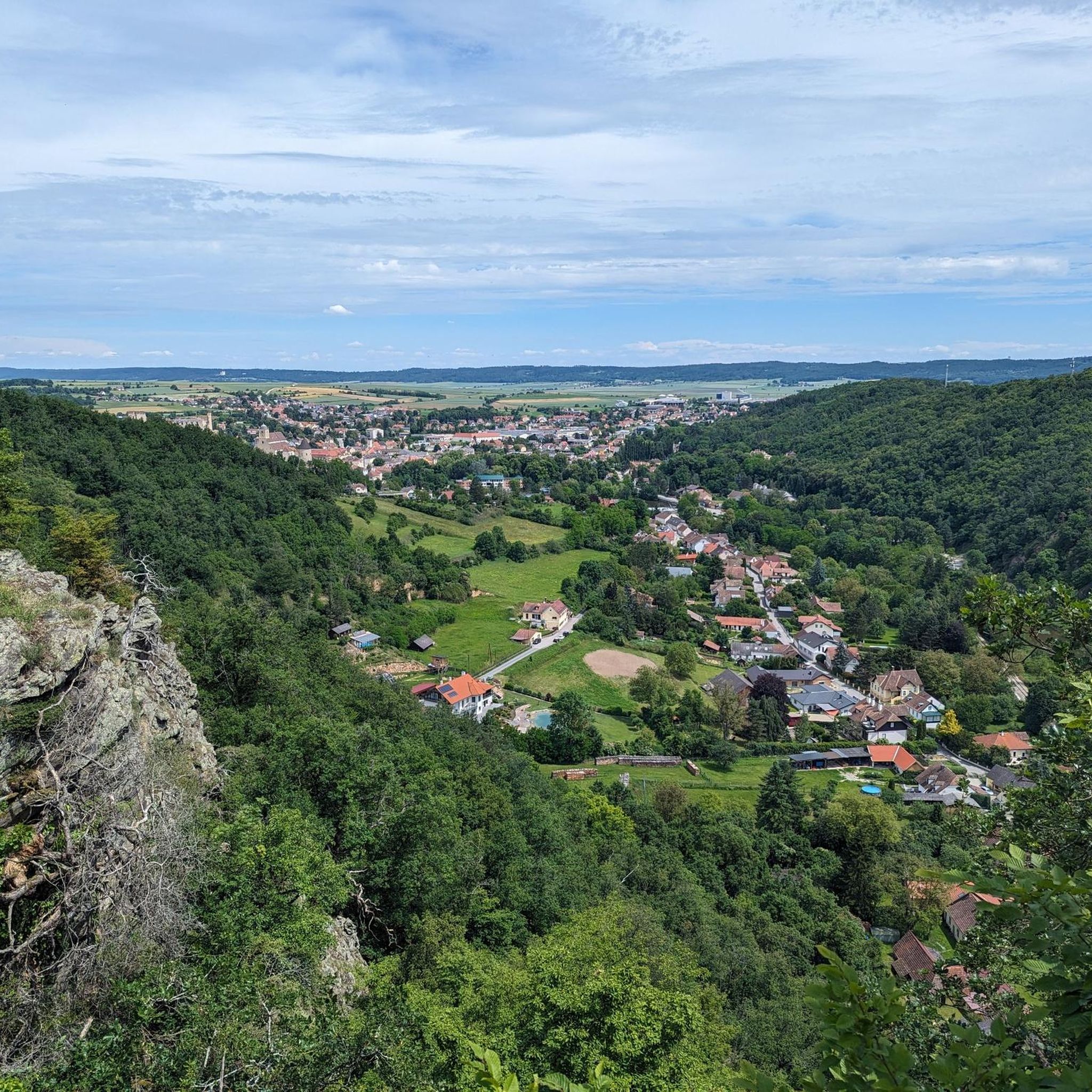
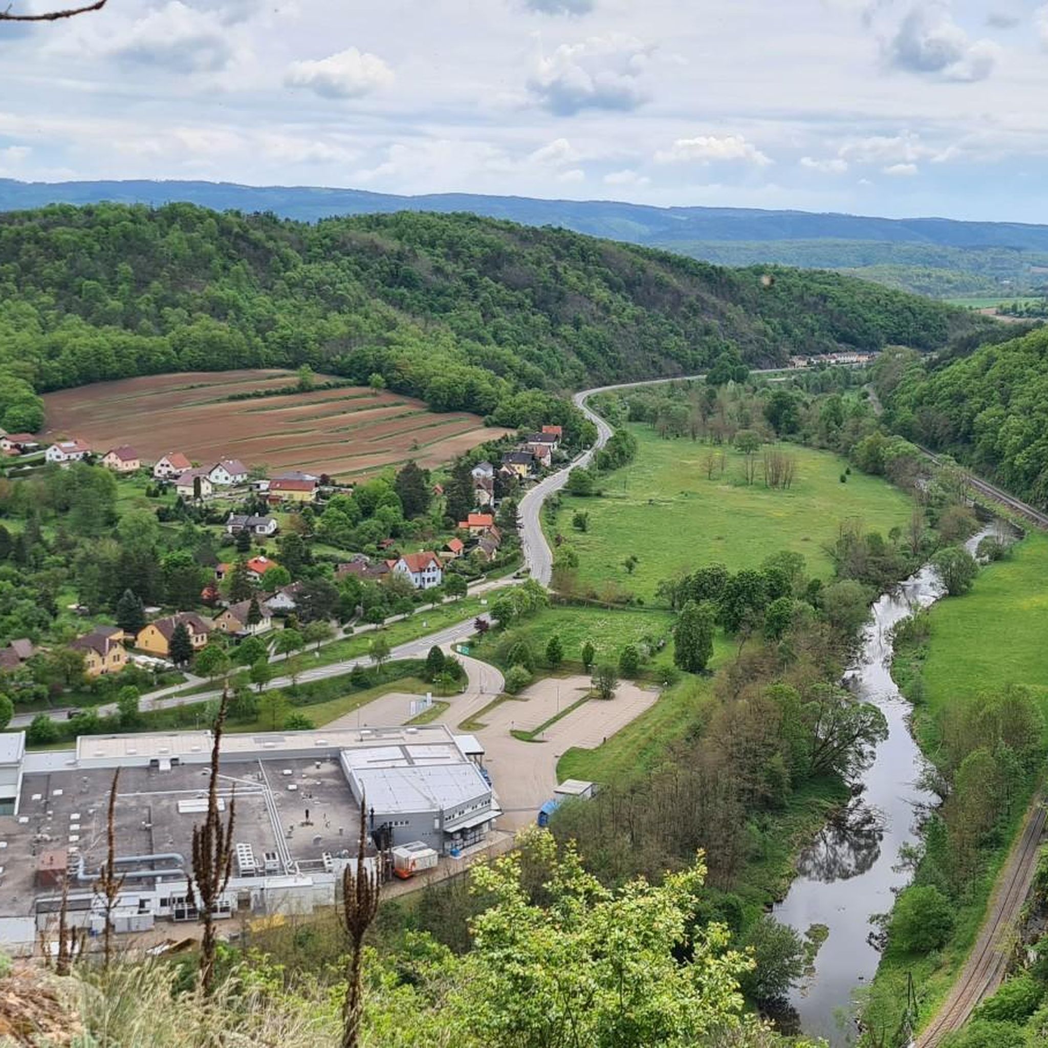
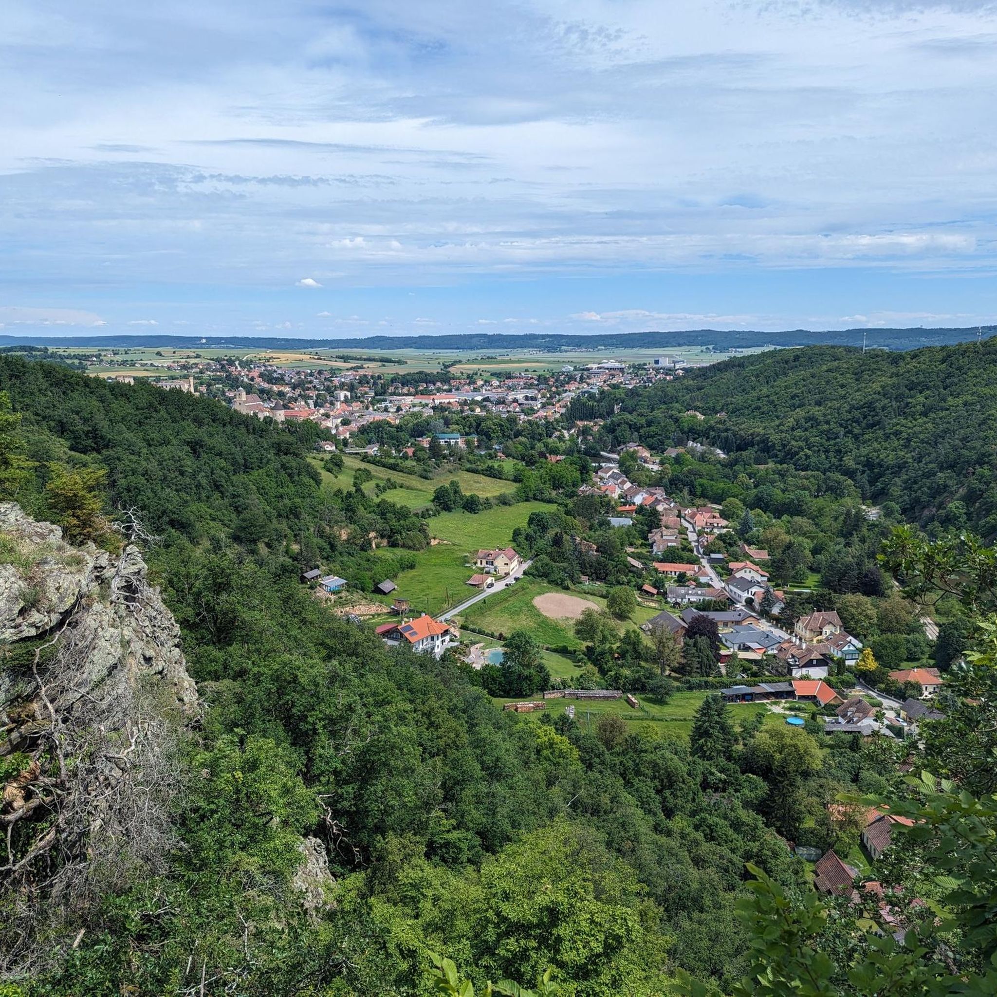
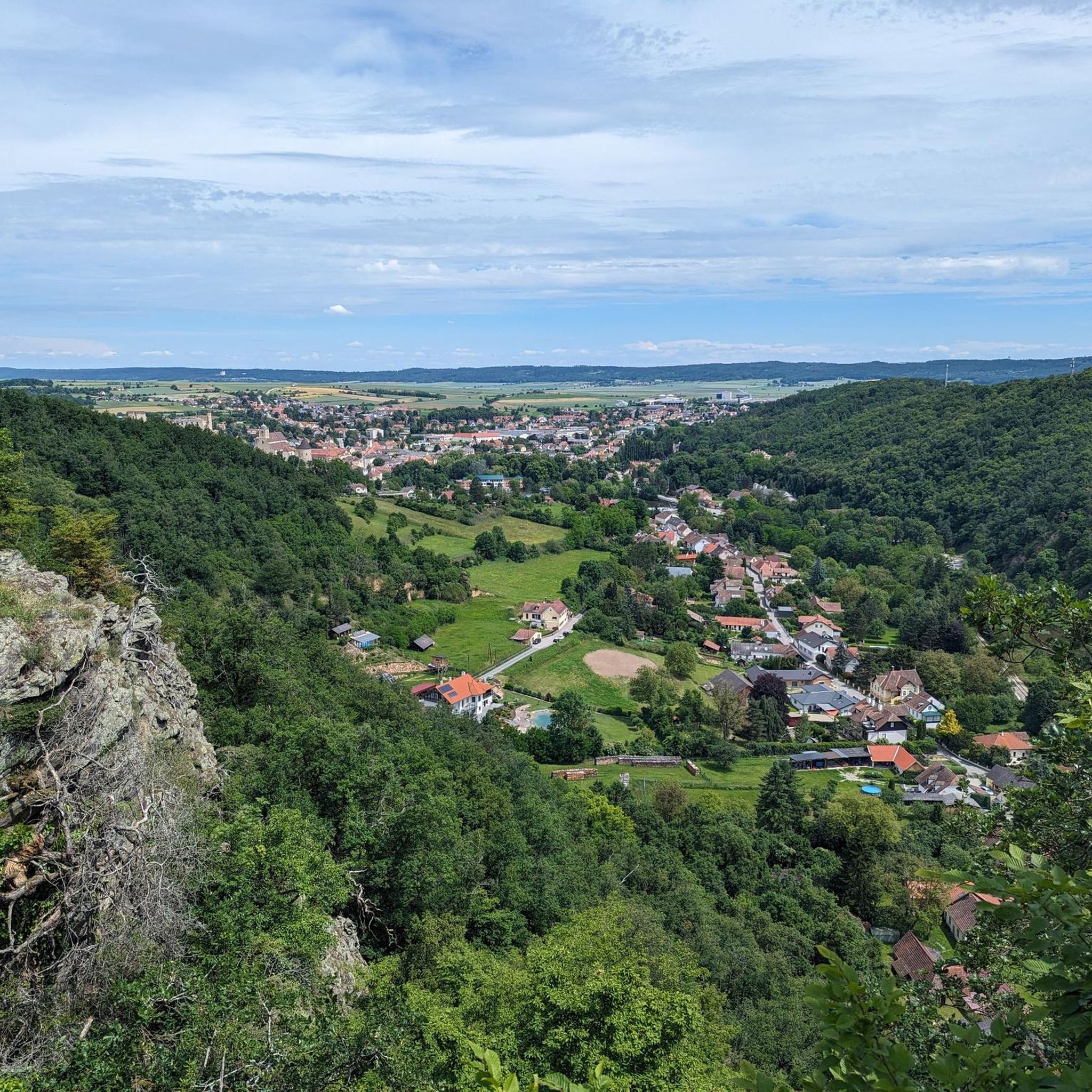
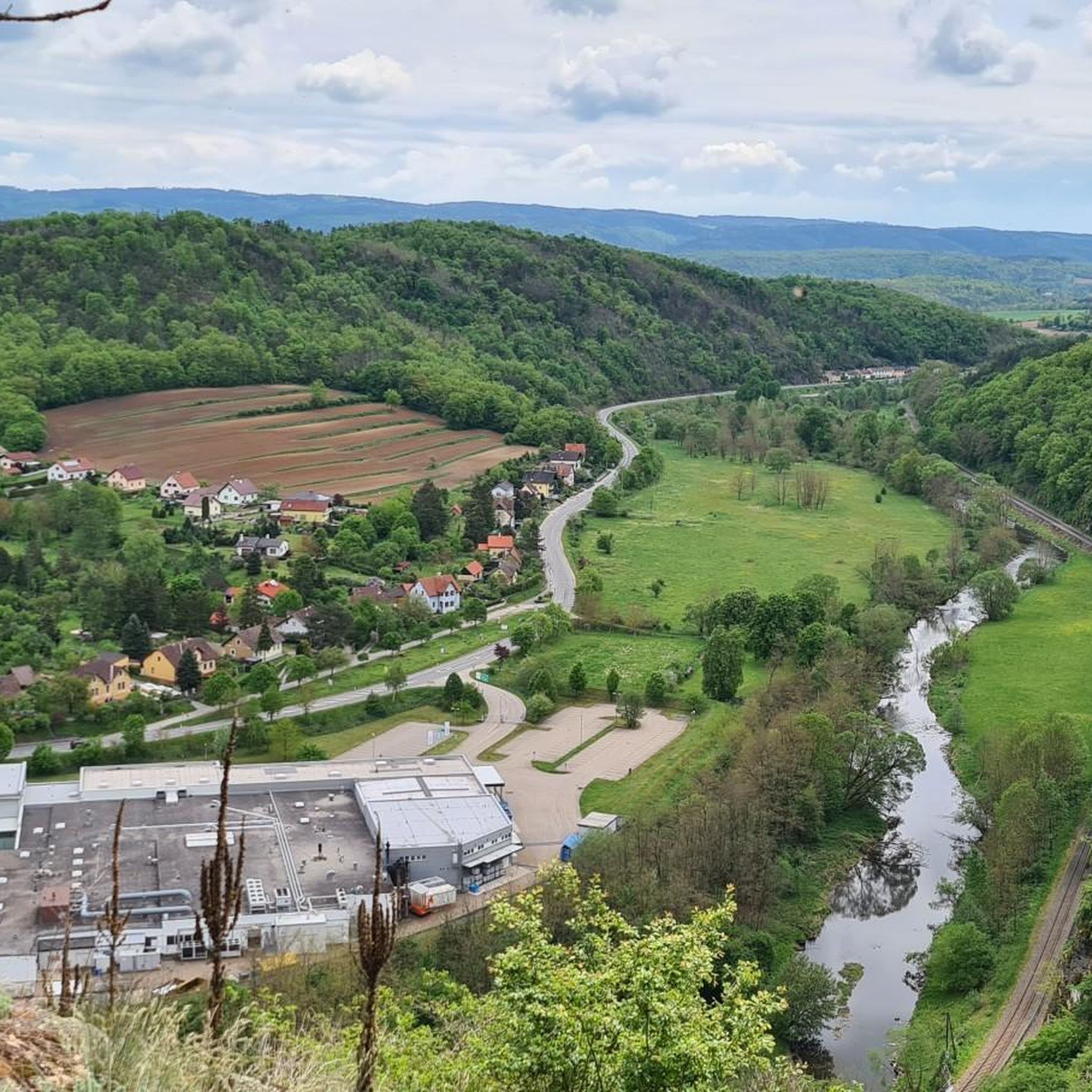

Tips from the Community

The lookout tower is actually called Kamtalwarte and is 21 m high.
0
0

Unfortunately, it is almost no longer accessible (logs were deliberately deposited here) and the ascent is blocked.
1
0

In 1983, the Papstwarte near Doberndorf was opened. It was built on the occasion of the visit of Pope John Paul II. With a total of 119 steps, you reach a height of 24 meters - the tower itself is located at an altitude of 497 meters above sea level. It was designed by Robert Krapfenbauer, who was born in Rodingersdorf in 1923. Doberndorf belonged to Rodingersdorf until 1920 and the tower can be found in the middle of the forest about halfway between Doberndorf and Rodingersdorf - access by car is possible. The tower is not accessible as of September 2024. It is privately owned and cordoned off. It is currently not possible to say whether and when it will be open to the public again.
1
0

A beautifully developed quiet cycle path in a beautiful landscape - I came from the prehistoric cycle path
0
0

The Manhartsberg region on the border between the Waldviertel and Weinviertel is a centuries-old settlement area with natural beauty, fertile landscapes, good infrastructure and a high quality of life. Around 11,200 people live in the seven communities on the ridge of the Manhartsberg (537 m), which forms the gateway to the Waldviertel, on 240 km2.
1
0


You feel like you are in the Blockheide in miniature
0
0
Visible orientation aid on the tour.
0
0
Frequently Asked Questions
What are some prominent elevated points around Gars am Kamp offering great views?
The region around Gars am Kamp features several elevated points with scenic vistas. Notable spots include the Kampthalerwarte, a historic lookout tower on Heiligenstein offering expansive views of the Kamp Valley and, on clear days, distant Alpine peaks. The Kogelsteine natural monument provides wonderful views of the Weinviertel. Additionally, the Manhartsberg Summit and Memorial Cross offers panoramic views from its position as a natural border between the Waldviertel and Weinviertel. The elevated positions of Gars Castle Ruins and Rosenburg Castle also provide picturesque outlooks over the Kamp Valley.
Are there any historical sites located on or near these elevated points?
Yes, the area is rich in history. The Kampthalerwarte itself is a neo-Gothic lookout tower built in 1897. The Gars Castle Ruins, once the capital of Austria during the Babenberg era, sit on an elevated position offering historical insights and views. The Kogelsteine is a historical place with evidence of past human activity. Rosenburg Castle, a prominent Renaissance castle, is perched on a rock overlooking the Kamp Valley, combining historical grandeur with natural beauty. The Manhartsberg Summit also features a memorial cross.
What kind of natural features can I expect to see from these elevated points?
From these elevated points, you can expect to see the picturesque Kamp Valley, characterized by its wild and romantic river landscape. On exceptionally clear days, views from spots like the Kampthalerwarte can extend to the distant Alpine peaks of the Ötscher and Schneeberg. The Kogelsteine offers unique rock formations and views over the Weinviertel, while the Manhartsberg marks the natural border between the Waldviertel and Weinviertel, showcasing diverse landscapes.
Are there family-friendly options for exploring the elevated areas around Gars am Kamp?
Yes, many routes in the area are suitable for families. The hike around the Gars Castle Ruins is considered easy and accessible for various fitness levels. The Schanzberg Picnic Area near Thunau am Kamp also offers a pleasant destination for an easy hike, providing an opportunity to enjoy nature and scenic views. These locations are great for a relaxed outing with children.
What outdoor activities can I do near these mountain peaks?
Beyond enjoying the views from the peaks, the region offers a variety of outdoor activities. You can find numerous cycling routes, including mountain biking, road cycling, and touring bicycle options. For example, there are several MTB Trails around Gars am Kamp, Road Cycling Routes, and Cycling routes that incorporate the scenic Kamp Valley and its elevated landmarks.
What makes the Manhartsberg significant in the region?
The Manhartsberg is a low, elongated ridge that forms a natural and historical border between two distinct regions of Lower Austria: the Waldviertel and the Weinviertel. It culminates at 537 meters above sea level and is considered the southern and eastern flank of the granite massif of the Bohemian Massif. Its significance is also reflected in the local vicariate of the Archdiocese of Vienna, which is still called 'under the Manhartsberg'.
Can I access the Pope's Tower near Doberndorf?
The Pope's Tower, or Papstwarte, near Doberndorf was built in 1983. However, as of September 2024, it is privately owned and cordoned off, making it inaccessible to the public. It is currently uncertain if and when it will reopen.
What do visitors enjoy most about the elevated points around Gars am Kamp?
Visitors particularly enjoy the stunning panoramic views of the Kamp Valley, which can extend to the distant Alps on clear days. The blend of natural beauty with rich historical significance, such as the Gars Castle Ruins and Rosenburg Castle, is also highly appreciated. Many find the accessible hiking routes around these elevated areas to be a great way to experience the region's charm.
Is the Kampthalerwarte always open for climbing?
The Kampthalerwarte is typically open on Saturdays and Sundays from 2 p.m. to 5 p.m. during May, June, September, and October, provided the weather is fine. A flag is hoisted as a visible sign when it's open. Outside these times, a key for the control room can sometimes be borrowed from local inns in Zöbing or Langenlois for a small entry fee.
Are there any unique natural monuments to visit?
Yes, the Kogelsteine is a notable natural monument. It's known for its unique rock formations and offers wonderful views of the Weinviertel. This site also holds historical significance, with evidence suggesting it was enjoyed by ancestors.
What is the highest point mentioned in the region?
The highest point mentioned is the Manhartsberg Summit, which culminates at 537 meters above sea level. This summit forms a natural border between the Waldviertel and Weinviertel.
Most popular routes around Gars am Kamp
Most popular attractions around Gars am Kamp

Get inspired with the komoot mobile app


Explore more
See even more amazing summits around Gars am Kamp with these guides:
