The best road cycling routes around Peninsula
5.0
(4)
457
riders
47
rides
Road cycling routes around Peninsula offer a diverse range of terrains, from coastal paths with ocean views to routes through dense redwood forests and rolling hills. The region features varied landscapes, including grasslands, oak and madrone forests, and areas with significant elevation changes. Cyclists can find routes that traverse along bay views, through picturesque countryside, and past natural preserves.
Best road cycling routes around Peninsula
- The most popular road cycling route is High Point loop, a 32.9 miles (52.9…
Last updated: June 23, 2026
3
riders
52.9km
02:36
570m
580m
Cycle the moderate 32.9-mile High Point loop in Cuyahoga Valley National Park, gaining 1886 feet in elevation over 2 hours and 35 minutes.
44
riders
If you're seeking a rewarding road cycling experience that combines natural beauty and historical elements, the Beaver Marsh – Nice covered bridge loop in Cuyahoga Valley National Park is a…

Sign up for free
13
riders
Easy road ride. Great for any fitness level. Mostly well-paved surfaces and easy to ride.
4
riders
44.2km
01:57
390m
390m
Moderate road ride. Good fitness required. Mostly well-paved surfaces and easy to ride.
6
riders
This road cycling loop from Boston Mill offers a delightful journey through Cuyahoga Valley National Park, taking you past the historic Boston Mills Visitor Center and on to the Jaite…
Get access to more routes and recommendations from other explorers.
Sign up for free
Already have an account?
Our route recommendations are based on thousands of hikes, rides, and runs completed by other people on komoot.
Start today with a free account
Your next adventure awaits.
Login or Signup

Tips from the Community

From this trailhead you can access several miles of mountain biking trails. The main trail, Lamb Loop runs about 5 miles with some fun curves and mixed terrain. There are a couple other connector trails offering shorter loops or different terrain as well.
0
0

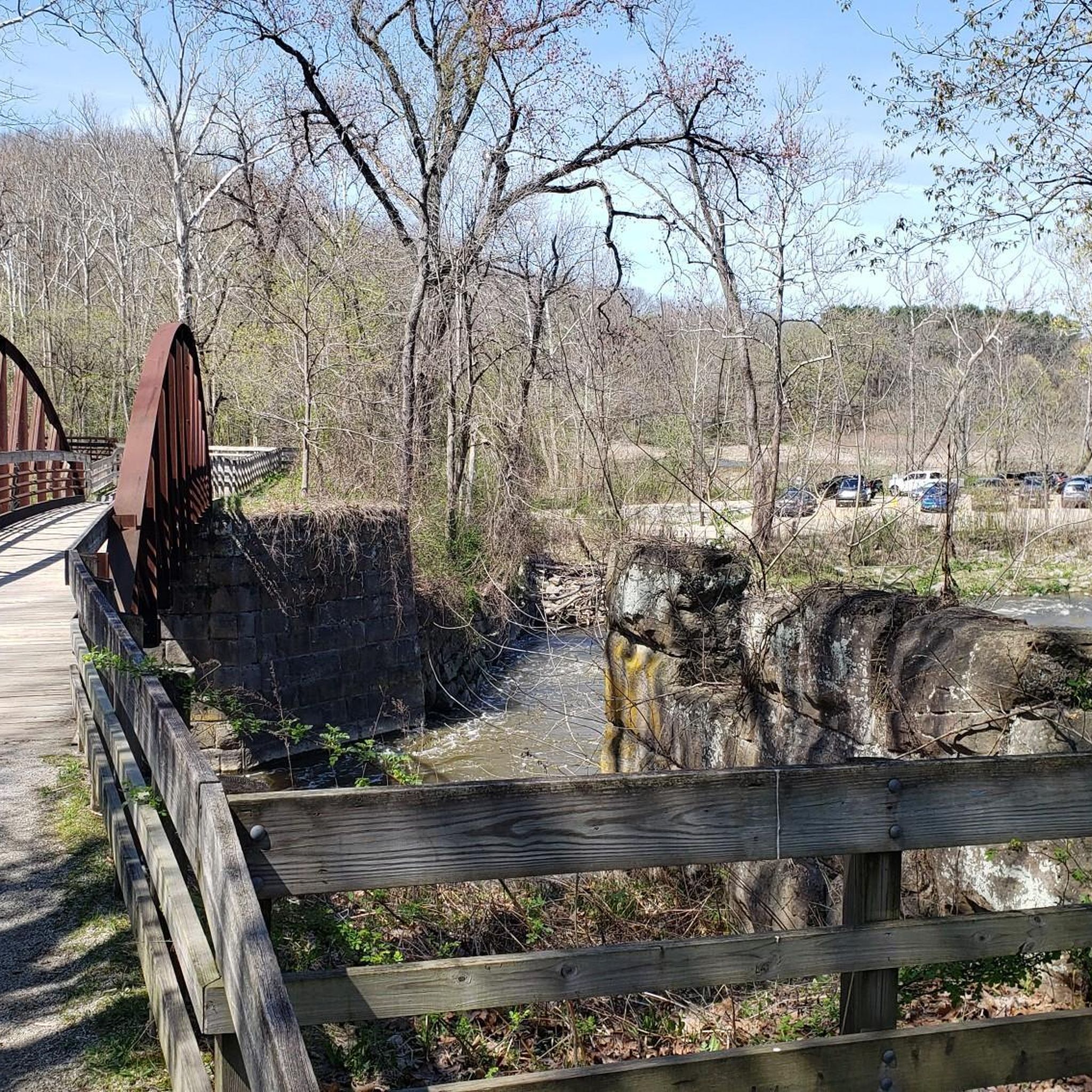
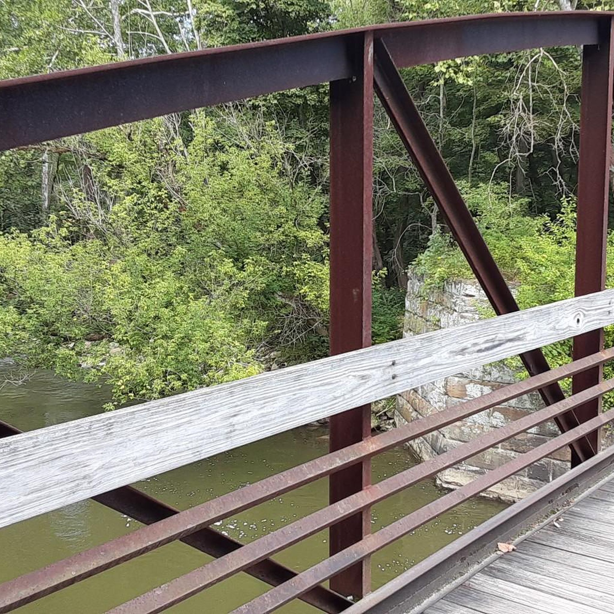
Once upon a time (but really not that long ago), mules walked this towpath as they hauled boats up and down the Ohio & Erie Canal. Nowadays, the towpath is a wonderful multi-use trail that threads alongside the canal and through the occasional bridge, like this one.
0
0

At this spot on the Ohio & Erie Canal Townpath Trail, you pass under I-80. You get a truly unique view of the underside of the highway and of the Cuyahoga River.
0
0

great stop along the trail. Refreshments, flush facilities, water
0
0

This Covered Bridge is a popular spot along the Ohio and Erie Canal Towpath Trail. It is located just before the Cascade Locks Area of the Cascade Valley Metro Park.
1
0
The Cascade Locks Area of the Cascade Valley Metro Park is just outside downtown Akron. This is the area where the Ohio and Erie Canal empties into the Cuyahoga River.
0
0

At 1,287 feet in elevation this is the hight point of Cuyahoga County. There is now a large sign marking the spot along Broadview Road.
0
0
This is underpass takes you below the I-80 Ohio Turnpike Bridge right before it crosses the Cuyahoga River.
0
0
Frequently Asked Questions
What kind of terrain can I expect when road cycling around Peninsula?
The Peninsula region offers a diverse range of terrains for road cycling. You can find coastal paths with sweeping ocean views, routes winding through dense redwood forests, and challenging rides over rolling hills and rugged landscapes. Depending on the specific area, you might encounter anything from relatively flat paths like the Sunset Bike Route in Peninsula State Park, to significant climbs such as those found on Kings Mountain Road or Hurricane Ridge.
Are there road cycling routes suitable for beginners or families in Peninsula?
Yes, the Peninsula offers routes suitable for various ability levels, including easier options. For instance, the Darrow Lake loop from Bike And Hike Trail Parking is an easy 13.6-mile trail through wooded areas. In Peninsula State Park, the Sunset Bike Route is known for being relatively flat and family-friendly. The Olympic Discovery Trail also has sections suitable for all levels, including easygoing bike paths.
Where can I find challenging road cycling routes with significant climbs in Peninsula?
For experienced cyclists seeking a challenge, the Peninsula region offers several routes with significant elevation gain. The High Point loop, for example, features a moderate climb over its 32.9 miles. In the San Francisco Peninsula, Kings Mountain Road and Old La Honda Road are popular for their challenging ascents. On the Olympic Peninsula, the climb to Hurricane Ridge offers over 5,000 feet of elevation gain with stunning sea-to-mountain panoramas.
What scenic natural features can I see along road cycling routes in Peninsula?
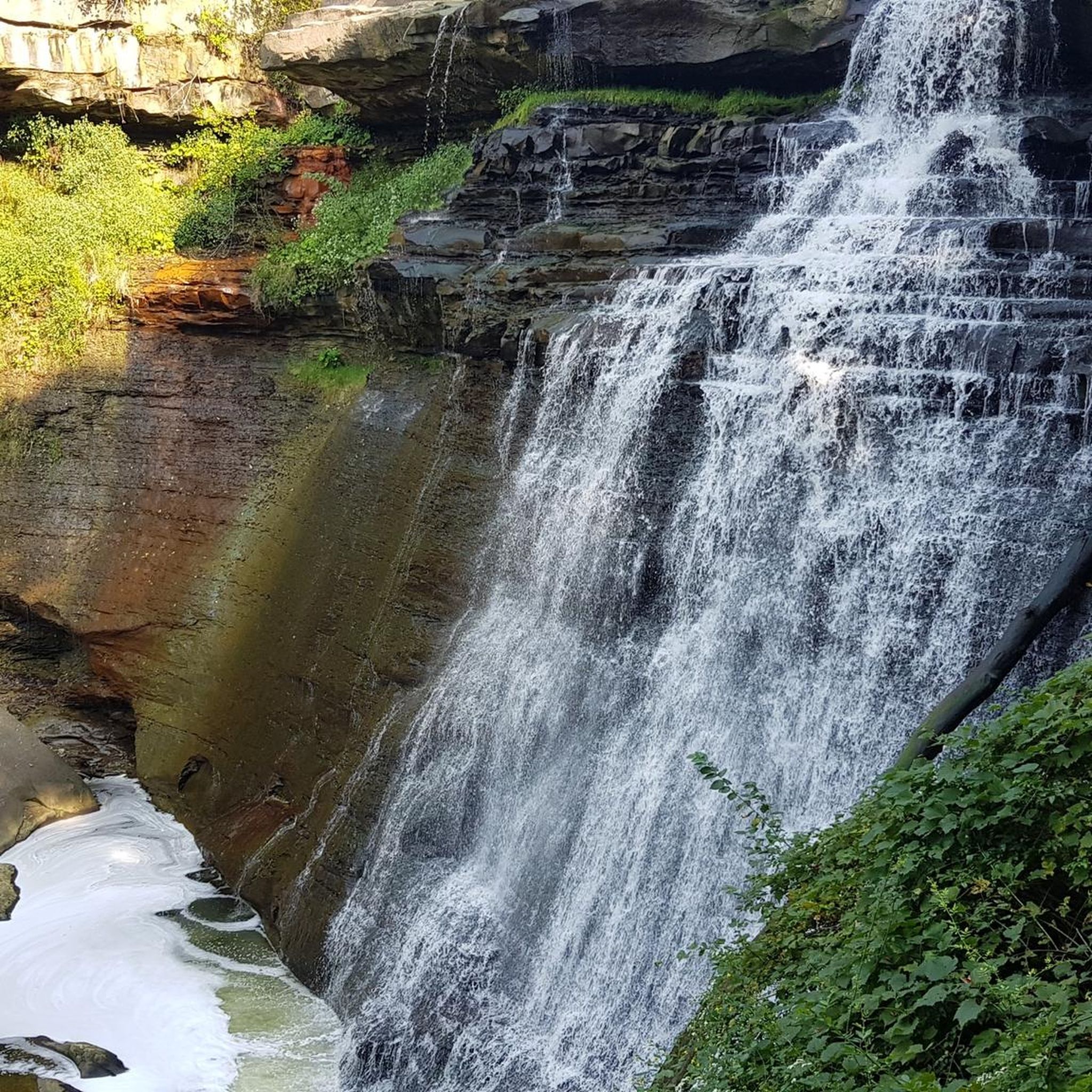
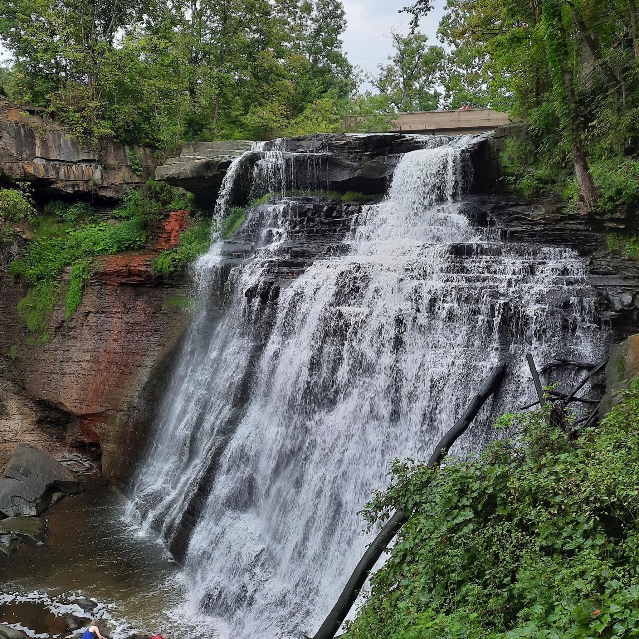
The Peninsula is rich in natural beauty. Cyclists can enjoy sweeping views of the Pacific Ocean and San Francisco Bay, ride through deep coastal redwood forests in areas like Purisima Creek Redwoods Preserve, or experience lush rainforests and rugged coastlines on the Olympic Peninsula. Highlights include the serene environment of Lake Quinault, the dramatic Brandywine Falls, and the unique Beaver Marsh.
Are there any viewpoints or landmarks along the road cycling routes?
Absolutely. Many routes offer breathtaking viewpoints. The Devil's Slide Bikeway on the San Francisco Peninsula provides stunning views along precarious cliffs. On the Olympic Peninsula, Hurricane Ridge offers sea-to-mountain peak panoramas. You can also find specific viewpoints like the Ledges Overlook, and historical landmarks such as Lock 29.
How many road cycling routes are available in the Peninsula region?
There are over 40 road cycling routes available in the Peninsula region, catering to various skill levels. This includes 18 easy routes and 28 moderate routes, ensuring there's something for everyone from casual riders to more experienced cyclists.
What do other road cyclists enjoy most about cycling in Peninsula?
The road cycling experience in Peninsula is highly rated by the komoot community, with an average score of 5.0 stars from over 4 reviews. Cyclists often praise the diverse landscapes, from coastal views and dense woodlands to rolling hills, and the variety of routes that cater to different abilities.
Are there any circular road cycling routes in Peninsula?
Yes, many road cycling routes in Peninsula are designed as loops, allowing you to start and end at the same point. Popular examples include the High Point loop and the Boston Mills Visitor Center – Jaite Mill Historic District loop from Indigo Lake, which offer varied terrain and scenic views.
Can I find road cycling routes that pass by lakes or water features?
Yes, several routes in the Peninsula region offer views of lakes and other water features. The Darrow Lake loop from Bike And Hike Trail Parking leads along a lake. You can also find routes near Kendall Lake and Chestnut Pond, providing serene waterside cycling experiences.
Are there specific parks or preserves known for road cycling in Peninsula?
Several parks and preserves are excellent for road cycling. In the San Francisco Peninsula, areas like Purisima Creek Redwoods Preserve, Russian Ridge Open Space Preserve, and Monte Bello Open Space Preserve offer extensive trails. Peninsula State Park in Wisconsin features the Sunset Bike Route. These areas provide diverse landscapes from redwood forests to open grasslands.
What is the best time of year for road cycling in Peninsula?
The best time for road cycling in Peninsula can vary by specific location within the broader Peninsula regions. Generally, spring and fall offer pleasant temperatures and beautiful scenery. Coastal areas might be enjoyable year-round, though some mountain passes or higher elevation routes could be affected by snow or colder weather in winter. Always check local weather conditions before heading out.
Are there any specific regulations or permits needed for cycling on Peninsula trails?
While many public roads and dedicated bike paths do not require special permits, some open space preserves or national parks might have specific regulations or require permits for certain trails. For instance, in Wisconsin's Peninsula State Park, a state park vehicle admission sticker is required for entry. It's always advisable to check the specific rules for the area you plan to cycle in. For information on biking in Wisconsin State Parks, you can visit dnr.wisconsin.gov.
Most popular routes around Peninsula
Most popular attractions around Peninsula

Get inspired with the komoot mobile app


Explore more
Browse the best Road cycling routes in other regions.
