The best road cycling routes around Grove City
4.3
(10)
183
riders
11
rides
Road cycling routes around Grove City, Ohio, are characterized by an extensive network of paved trails that connect urban areas with natural spaces. The region features metro parks, river corridors like the Scioto and Olentangy, and greenways, providing varied terrain for cyclists. Routes often utilize well-maintained paved surfaces, with some offering moderate elevation gains suitable for different skill levels. The landscape primarily consists of river valleys, parklands, and wooded sections.
Best road cycling routes around Grove City
- The most popular…
Last updated: June 28, 2026
5.0
(3)
55
riders
20.9km
00:51
60m
60m
Easy road ride. Great for any fitness level. Mostly well-paved surfaces and easy to ride.
3.0
(1)
45
riders
Moderate road ride. Good fitness required. Mostly well-paved surfaces and easy to ride.

Sign up for free
5.0
(2)
17
riders
19.5km
00:50
60m
60m
Easy road ride. Great for any fitness level. Mostly well-paved surfaces and easy to ride.
36
riders
43.9km
01:45
110m
110m
Easy road ride. Great for any fitness level. Mostly well-paved surfaces and easy to ride.
5.0
(2)
36
riders
57.2km
02:19
170m
170m
Moderate road ride. Good fitness required. Mostly well-paved surfaces and easy to ride.
Get access to more routes and recommendations from other explorers.
Sign up for free
Already have an account?
Our route recommendations are based on thousands of hikes, rides, and runs completed by other people on komoot.
Start today with a free account
Your next adventure awaits.
Login or Signup
Popular around Grove City

Tips from the Community

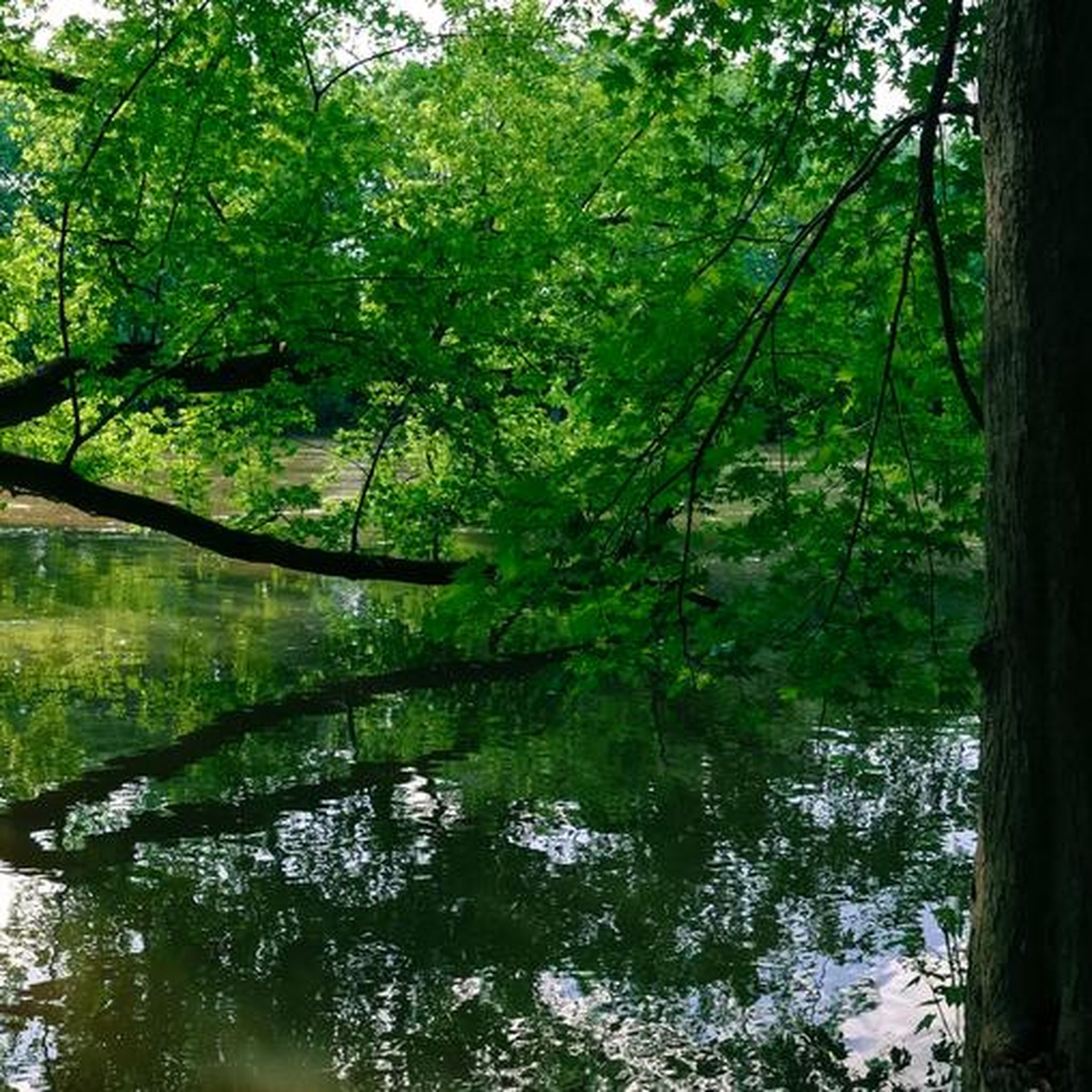
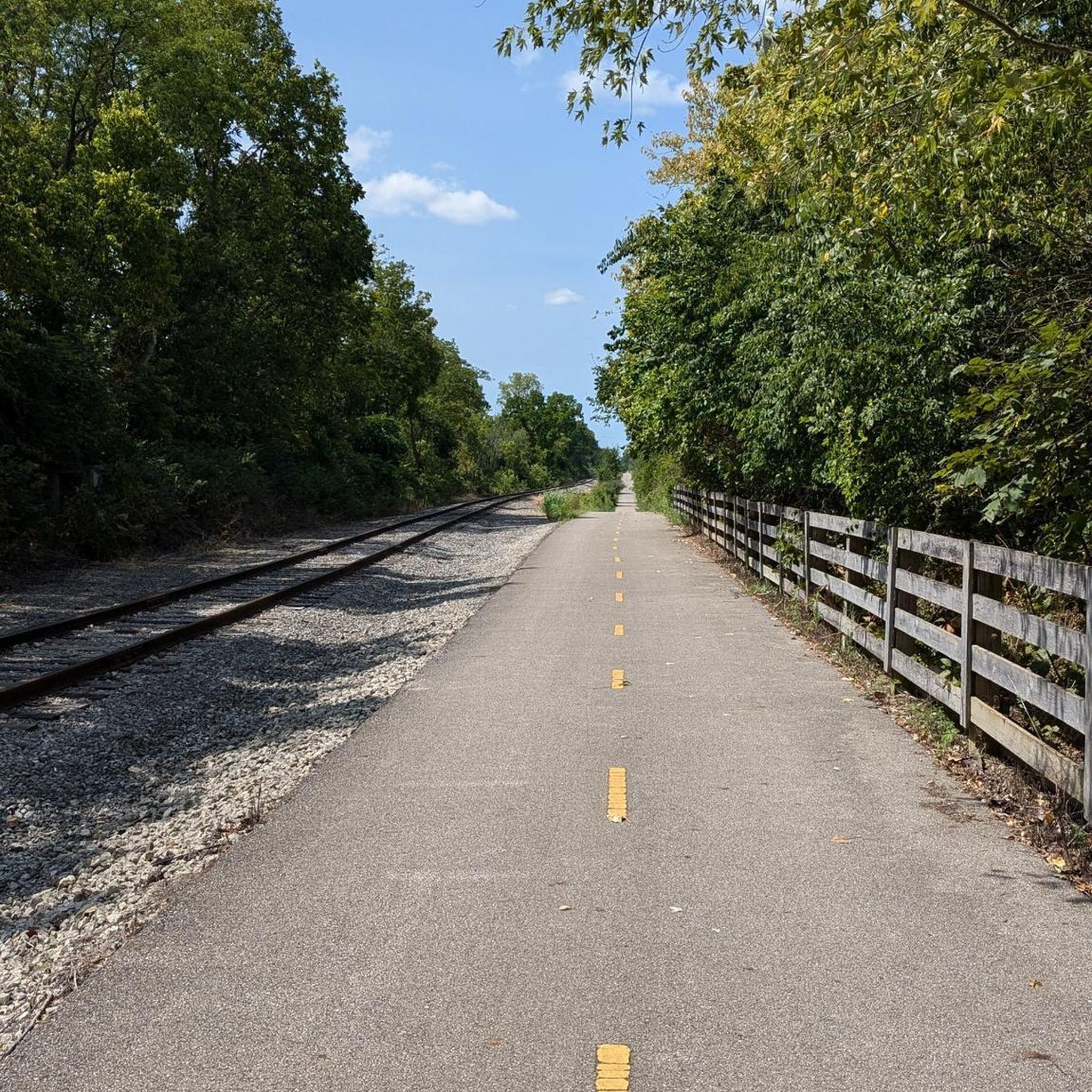
This paved multiuse trail is one of the most popular in Columbus. It provides a great transportation corridor along the Olentangy River, linking users up with neighborhoods, recreation opportunities, local businesses, and the simple opportunity to enjoy some time by the water.
0
0

The Scioto Trail runs through the heart of downtown Columbus along the Scioto River. The trail is almost 7 miles long and is completely paved.
0
0

With the sparkling water in front of you and the city skyline in the background, this is a great place to stop and take in the view. It's especially great on calm, clear nights when the city lights reflect of the water.
0
0

Turtle Pond is located near the Alum Creek Trail. With a short detour, you can visit the pond and take a quick stop to enjoy the scenery.
0
0
Scioto Trail is a flat, paved route that runs along the Scioto River, with a nice view of the city skyline and West Broad Street Bridge. The trail connects downtown Columbus with nearby parks and has multiple access points.
1
0
This park derives its name from the confluence where Alum, Big Walnut, and Blacklick creeks come together. It comprises five areas with separate entrances, all interconnected, offering a variety of routes to explore.
0
0

The Olentangy River reaches 97 miles from Morrow County through Delaware County to Columbus, where it meets the Scioto at Confluence Park. Originally called "Keenhongsheconsepung," meaning "sharp tool river," settlers renamed it "Whetstone River" before a legislative mix-up in 1833 assigned it the name "Olentangy." The river serves as a drinking water source for Delaware County, while the Delaware State Park Reservoir is used for flood control. Restoration efforts, including dam removals, have reduced the river’s width and improved ecology.
0
0
Ohio Stadium, nicknamed "The Shoe," hosts Buckeye football games, concerts, and events, with a record attendance of 110,045 set in 2016. A guest host called a "Redcoat" can take fans behind the scenes of Ohio Stadium.
0
0
Frequently Asked Questions
How many road cycling routes are available in and around Grove City, Ohio?
There are over 90 road cycling routes in and around Grove City, Ohio, with this guide highlighting 6 of the most beautiful options. The region boasts an extensive network of paved trails, offering diverse choices for cyclists.
What kind of terrain can I expect on Grove City's road cycling routes?
Road cycling routes in Grove City, Ohio, primarily feature well-maintained paved surfaces. You'll encounter scenic river valleys, parklands, and wooded sections. While many routes are relatively flat, some offer moderate elevation gains, providing variety for different skill levels.
Are there easy road cycling routes suitable for beginners or families in Grove City?
Yes, Grove City offers several easy road cycling routes perfect for beginners or families. For instance, the Scioto Audubon Metro Park – Olentangy River loop from German Village is an easy 10.3-mile path with minimal elevation, offering a pleasant mix of parkland and riverside scenery. Five of the routes featured in this guide are rated as easy.
Are there any longer road cycling routes for more experienced riders?
For those seeking a longer ride, the Olentangy River – Scioto River Bridge loop from Lincoln Village is a moderate 36.5-mile route that takes approximately 2 hours and 25 minutes to complete. It features river views and urban green spaces, providing a good challenge for experienced cyclists.
What are some scenic viewpoints or natural features along the road cycling routes?
Many routes offer scenic views along the Olentangy and Scioto Rivers. You can also pass by the Scioto River Bridge. The region's extensive trail network connects to various metro parks, such as Scioto Audubon Metro Park, offering beautiful natural settings.
Are there any loop routes available for road cycling in Grove City?
Yes, many road cycling routes in Grove City are designed as loops, allowing you to start and end at the same point. Examples include the Olentangy River – Scioto River Bridge loop from Lincoln Village and the Franklin Park – Three Creeks Metro Park loop from Columbus, which leads through diverse park environments.
What do other road cyclists say about the routes in Grove City?
The road cycling routes in Grove City are highly rated by the komoot community, with an average score of 4.0 stars from over 9 reviews. More than 130 road cyclists have used komoot to explore the area, often praising the well-maintained paved trails and diverse park environments.
Are there specific parks or green spaces that road cyclists can explore?
Grove City and its surrounding areas offer numerous parks and green spaces accessible by road bike. Notable areas include Scioto Grove Metro Park, Battelle Darby Creek Metro Park (known for its bison herd), Henceroth Park, and Fryer Park, all contributing to the region's natural appeal and extensive trail network.
What is the best time of year for road biking in Grove City?
The extensive paved trail networks in Grove City make it suitable for road cycling across multiple seasons. Spring and fall offer pleasant temperatures and vibrant scenery, while summer provides longer daylight hours. Winter cycling is also possible on cleared paths, though conditions may vary.
Where can I find information about parking for road cycling routes in Grove City?
Many of Grove City's parks and trailheads offer designated parking areas. For specific information on parking facilities near trails, you can visit the official Grove City website for trails and bicycle transportation. For example, you can find more details at grovecityohio.gov/534/Trails.
Are there any less crowded road bike trails in Grove City?
While popular routes can see more traffic, Grove City's extensive network of over 30 miles of paved trails within the city, and over 40 miles connecting to the Central Ohio Greenways, means there are many options to explore. Venturing slightly off the most well-known paths or riding during off-peak hours can help you find quieter sections.
Most popular routes around Grove City
Most popular attractions around Grove City

Get inspired with the komoot mobile app


Explore more
Browse the best Road cycling routes in other regions.
