The best road cycling routes around Reynoldsburg
4.9
(7)
187
riders
16
rides
Road cycling routes around Reynoldsburg, Ohio, are characterized by an extensive network of paved trails and access to diverse natural landscapes within the Columbus Metro Parks system. The region features wooded areas, wetlands, and open meadows, particularly along the Blacklick Creek Greenway Trail. Cyclists can find routes that traverse significant beech-maple forests and buttonbush swamps within Blacklick Woods Metro Park, offering varied scenery. The area also includes scenic country roads with rolling hills and some changes in elevation.
Best road…
Last updated: November 7, 2026
12
riders
50.4km
02:10
130m
130m
Moderate road ride. Good fitness required. Mostly well-paved surfaces and easy to ride.
4.5
(2)
41
riders
Easy road ride. Mostly well-paved surfaces and easy to ride.

4.0
(1)
45
riders
44.0km
01:45
110m
110m
Easy road ride. Mostly well-paved surfaces and easy to ride.
5.0
(1)
11
riders
37.9km
01:28
70m
70m
Easy road ride. Mostly well-paved surfaces and easy to ride.
11
riders
27.7km
01:05
100m
100m
Easy road ride. Mostly well-paved surfaces and easy to ride.
Get access to more routes and recommendations from other explorers.
Already have an account?
Our route recommendations are based on thousands of hikes, rides, and runs completed by other people on komoot.
Start today with a free account
Your next adventure awaits.
Popular around Reynoldsburg

Tips from the Community

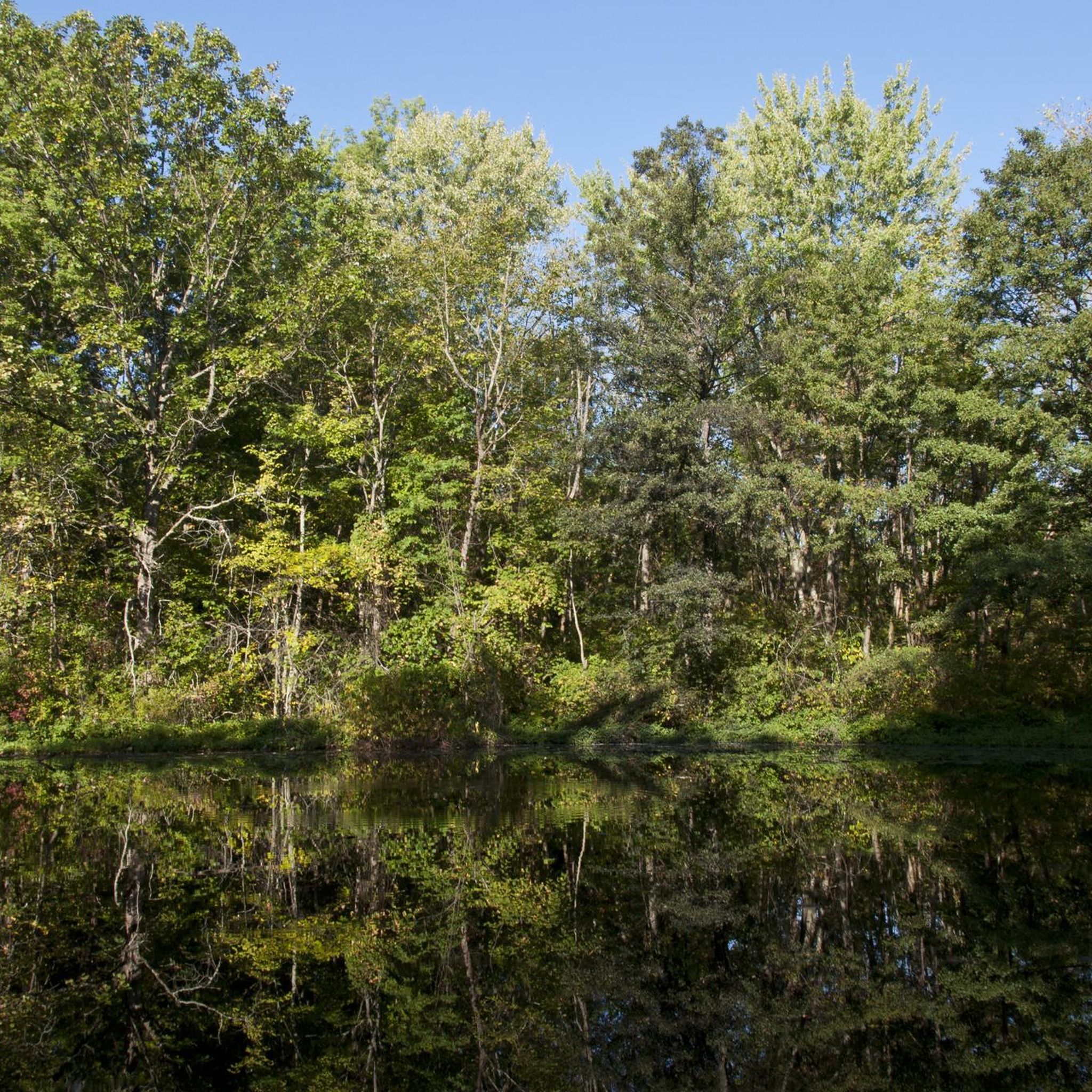
Turtle Pond is located near the Alum Creek Trail. With a short detour, you can visit the pond and take a quick stop to enjoy the scenery.
0
0
This park derives its name from the confluence where Alum, Big Walnut, and Blacklick creeks come together. It comprises five areas with separate entrances, all interconnected, offering a variety of routes to explore.
0
0
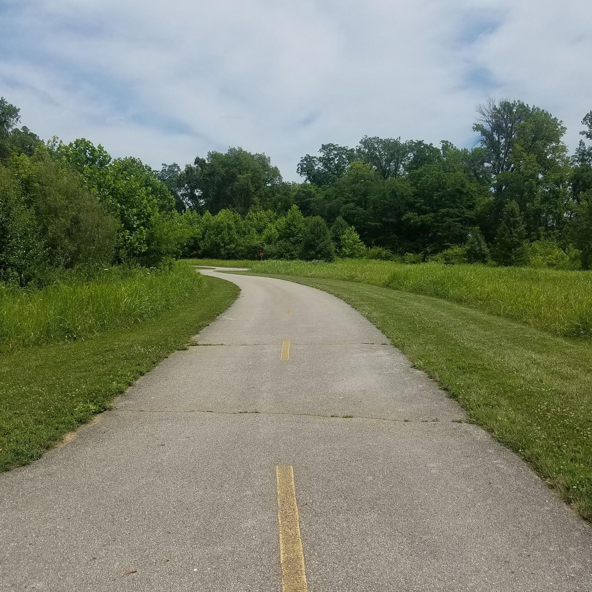
Blacklick Creek Trail is a 26-mile paved path that winds through parks, forests, and suburban areas. It offers smooth surfaces ideal and connects to other major trails like the Alum Creek Trail, making it perfect for extended rides.
0
0

This 92-acre park has a rain garden, picnic tables, athletic fields and some woods. It also serves as the trailhead for the Blacklick Creek Trail.
0
0

Here, you will cross a bridge that spans over Alum Creek, a 58-mile-long stream flowing through central Ohio. The creek begins in Morrow County, travels through Delaware County, and ends in Franklin County, where it merges with Big Walnut Creek, eventually draining into the Scioto River.
0
0

Heron Pond is a small fishing pond in Columbus, Ohio. There are shady spots along the grassy banks, benches, picnic areas (with grills), and porta potties. It can be a little noisy at times because it's close to the interstate, but overall is a peaceful, fun, family friendly place to fish, relax, and enjoy nature.
0
0

This park derives its name from the confluence where Alum, Big Walnut, and Blacklick creeks come together. It comprises five areas with separate entrances, all interconnected, offering a variety of routes to explore.
0
0
As the name implies, this pond is teeming with bird species, including the majestic blue herons and many others. It's also a habitat where you might encounter beavers, minks, coyotes, deer, and various other forms of wildlife.
0
0
Frequently Asked Questions
How many road cycling routes are available around Reynoldsburg?
There are over 10 road cycling routes around Reynoldsburg, offering a variety of experiences. These routes are highly rated by the komoot community, with an average score of 4.9 stars.
What kind of terrain can I expect on road cycling routes near Reynoldsburg?
Road cycling routes in Reynoldsburg feature an extensive network of paved trails, including the Blacklick Creek Greenway Trail. You'll find diverse natural landscapes, from wooded areas and wetlands to open meadows. Some routes also include scenic country roads with rolling hills and varied elevation changes.
Are there road cycling routes suitable for beginners in Reynoldsburg?
Yes, Reynoldsburg offers several easy road cycling routes. For example, the Alum Creek – Alum Creek Trail loop from Old Oaks Historic District is an easy 24.9-mile path that provides a smooth ride through parklands. Another accessible option is the Three Creeks Metro Park – Heron Pond loop from Eastmoor Academy High School, an easy 22.6-mile trail.
Are there challenging road cycling routes in Reynoldsburg?
While many routes are easy, you can find moderate challenges. The Blacklick Creek and Alum Creek Trail Loop is a moderate 31.3-mile route that connects major greenways, offering a mix of natural and suburban landscapes with some elevation changes. The region also has country roads with varied terrain and some winding sections that can add to the challenge.
Can I find loop road cycling routes in Reynoldsburg?
Yes, many of the road cycling routes in Reynoldsburg are designed as loops. Examples include the Blacklick Creek and Alum Creek Trail Loop, the Alum Creek – Alum Creek Trail loop from Old Oaks Historic District, and the Blacklick Creek Trail loop from Reynoldsburg.
What natural features or landmarks can I see along road cycling routes in Reynoldsburg?
You can explore significant natural features like the beech-maple forests and buttonbush swamps within Blacklick Woods Metro Park. Routes often follow the Blacklick Creek Greenway Trail, offering views of wetlands and open meadows. You might also encounter landmarks such as the Alum Creek Bridge or the serene Heron Pond within Three Creeks Metro Park.
Are there scenic viewpoints along the road cycling routes?
Yes, many routes offer scenic views, especially along the Blacklick Creek Greenway Trail and within the metro parks. You can find peaceful spots like the Bench with view of pond at Portman Park, providing opportunities to pause and enjoy the natural surroundings.
Where can I find parking for road cycling routes in Reynoldsburg?
Many of the metro parks and trailheads in and around Reynoldsburg offer dedicated parking facilities. For instance, Blacklick Woods Metro Park and Three Creeks Metro Park are good starting points with parking available, often connecting directly to the trail network.
Are there family-friendly road cycling paths in Reynoldsburg?
Reynoldsburg is well-suited for family-friendly cycling, thanks to its well-maintained paved trails. The Blacklick Creek Greenway Trail, for example, is a paved path that winds through varied scenery, making it ideal for cyclists of all ages. Metro parks like Blacklick Woods also feature paved loops perfect for family rides.
What is the best time of year for road cycling in Reynoldsburg?
The spring, summer, and fall months generally offer the best conditions for road cycling in Reynoldsburg. These seasons provide pleasant temperatures and vibrant natural scenery, from lush greenery to autumn colors. While winter cycling is possible, be mindful of colder temperatures and potential ice on trails.
Can I connect to a wider trail network from Reynoldsburg?
Absolutely. Reynoldsburg's road cycling routes are part of the broader Columbus Metro Parks system. The Blacklick Creek Trail is intended to connect with the 11-mile Alum Creek Trail, which extends through Three Creeks Metro Park and further north, potentially offering extensive one-way rides and interconnected loops.
How long are the typical road cycling routes in Reynoldsburg?
The road cycling routes around Reynoldsburg vary in length. You can find shorter loops, such as the Alum Creek Bridge loop from Eastmoor Academy High School at 12.9 miles (20.8 km), to longer options like the Blacklick Creek and Alum Creek Trail Loop, which is 31.3 miles (50.4 km).
Most popular routes around Reynoldsburg
Most popular attractions around Reynoldsburg

Get inspired with the komoot mobile app


Explore more
Browse the best Road cycling routes in other regions.
